Plizio Visual Lab
Jaltepeque Estuary
Weather…
Water temperature…
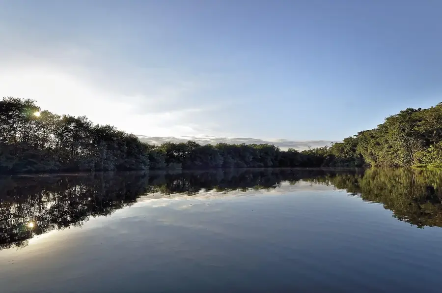
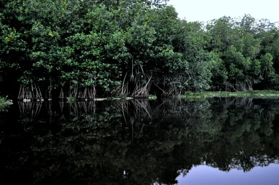
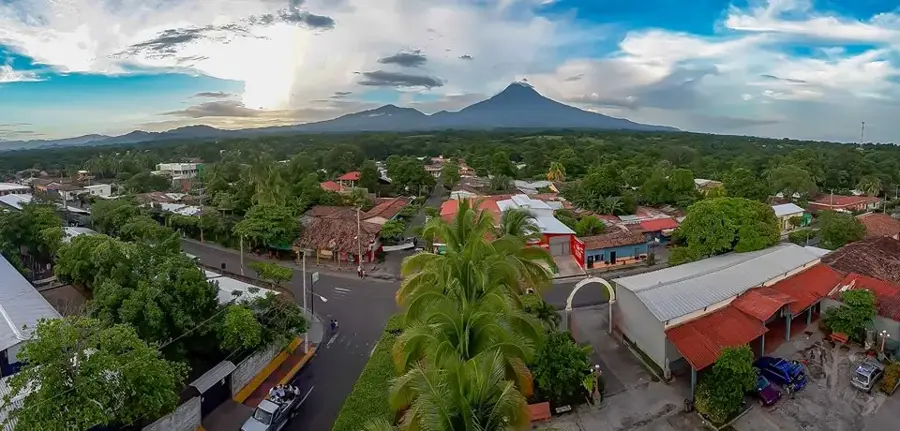
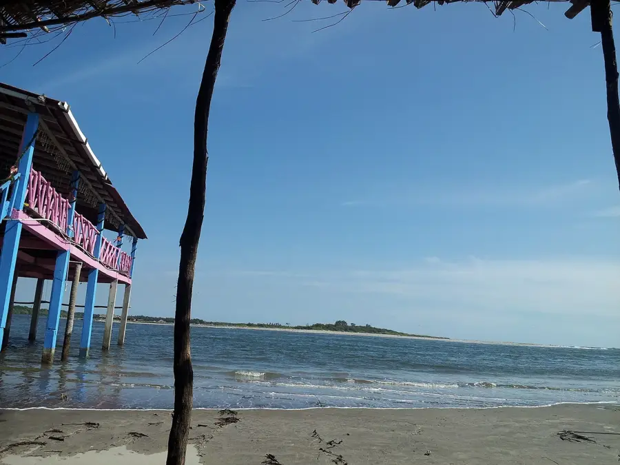
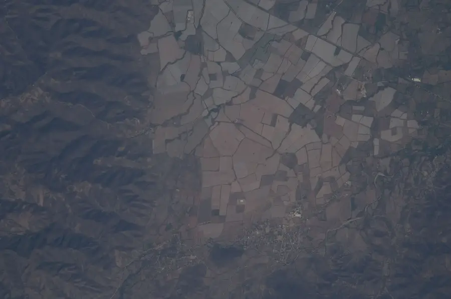
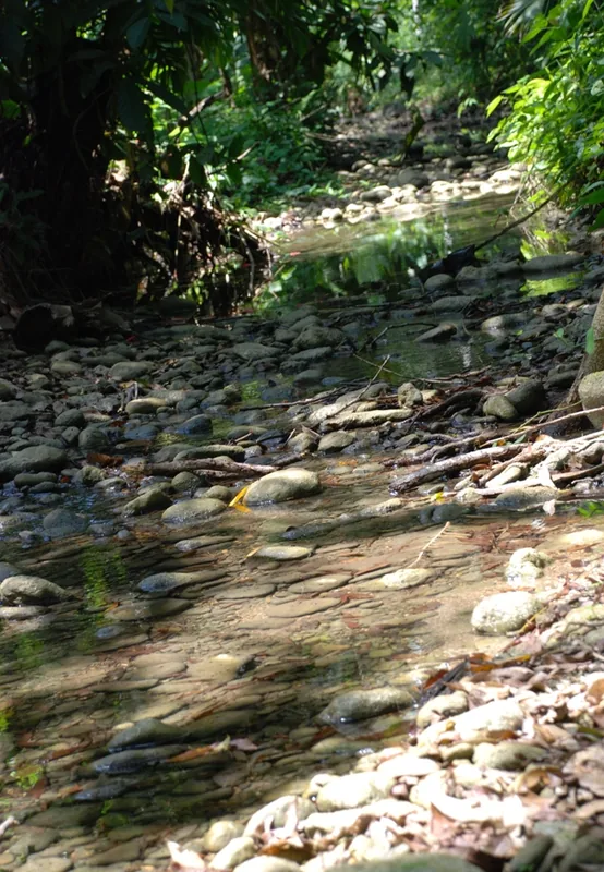
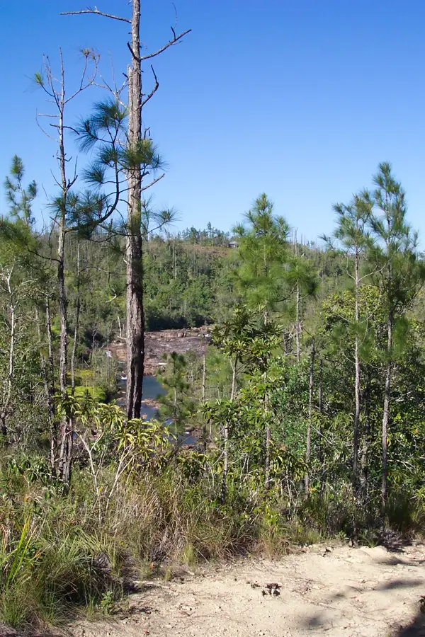
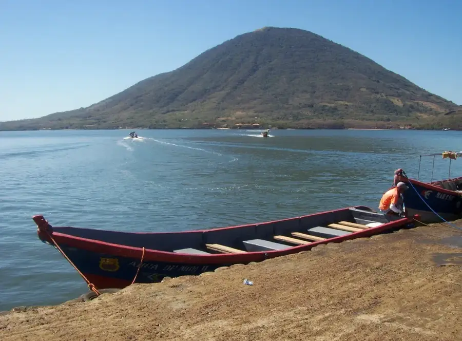
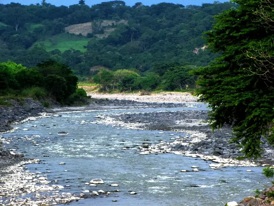
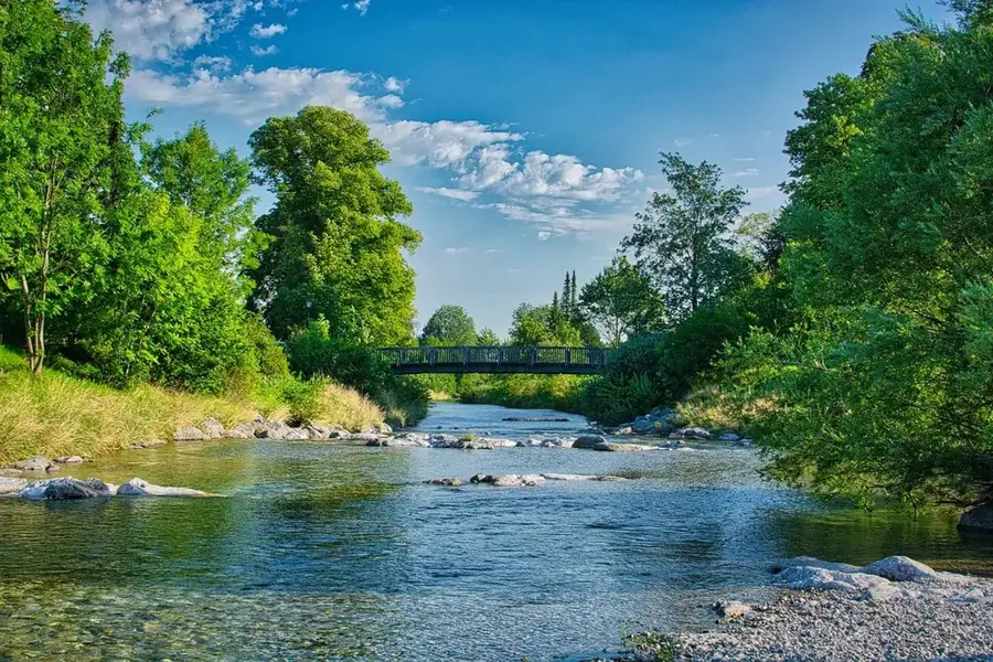
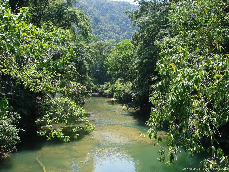
The Jaltepeque Estuary is one of the most significant brackish water ecosystems in El Salvador, stretching across the coastal region of the La Paz Department. It is characterized by extensive mangrove forests that serve as a nursery for numerous fish and crustacean species, as well as a vital stopover for migratory birds. The estuary spans a length of approximately 28 kilometers and consists of a complex network of channels and small islands. Geomorphologically, it is influenced by the discharge of the Jiboa and Lempa rivers, which supply fresh water to the system. Mangrove species such as Rhizophora mangle and Avicennia germinans dominate the flora and play a crucial role in coastal protection against erosion. Economically, the region is vital for local artisanal fishing and emerging ecotourism activities. The estuary is recognized under the Ramsar Convention, highlighting its international importance for biodiversity conservation. Despite being a protected area, it faces ongoing challenges from sedimentation and human impacts on its natural hydrological balance.
- Location: El Salvador
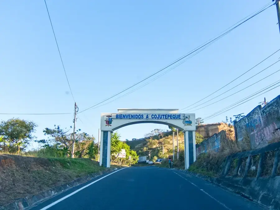
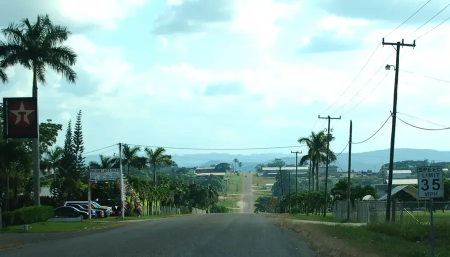
- Nearby: San Juan Nonualco (6 km)
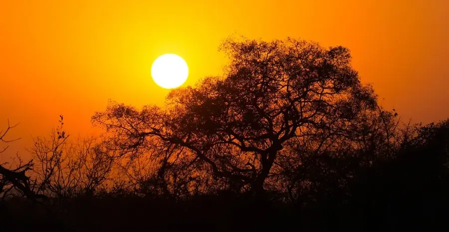
Best time to visit & climate
The most pleasant time to visit is Jan, Nov, Dec.
| Jan | Feb | Mar | Apr | May | Jun | Jul | Aug | Sep | Oct | Nov | Dec | |
|---|---|---|---|---|---|---|---|---|---|---|---|---|
| Avg °C | 27 | 28 | 29 | 29 | 28 | 27 | 28 | 27 | 26 | 26 | 26 | 26 |
| Rain mm | 3 | 4 | 6 | 32 | 169 | 193 | 155 | 198 | 234 | 204 | 41 | 10 |
📋 Practical info
Geography
Facts
- The estuary extends over a length of approximately 28 kilometers.
- It has been protected as a Ramsar site of international importance since 2011.
- More than 34 bird species utilize the area for nesting or as a stopover.
- The Jiboa and Lempa rivers supply the system with essential fresh water.
- It is home to four different species of mangrove trees.
- Key islands within the estuary include Isla Tasajera and Isla El Espíritu Santo.
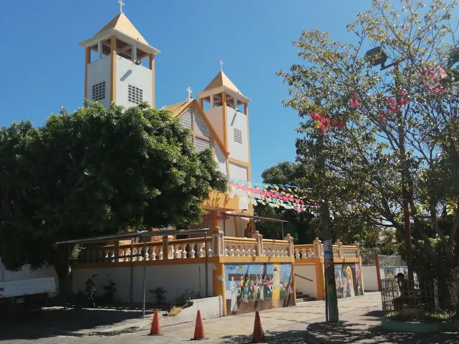
Explore nearby
Notable places around
Route planner — Car & Motorhome
Where do you start? We build the route here, with stops and country notes along the way.
© OpenStreetMap contributors · OpenRouteService
Sights nearby
Frequently asked questions
What can you do there?
Is it a protected area?
Do you need a boat?
Are there mosquitoes?
When is the best time?
Jaltepeque Estuary: where is it located?
Jaltepeque Estuary: when is the best time to visit?
Jaltepeque Estuary: why is it worth visiting?

Nearby cities


History & landmarks
Nature
More places