Plizio Visual Lab
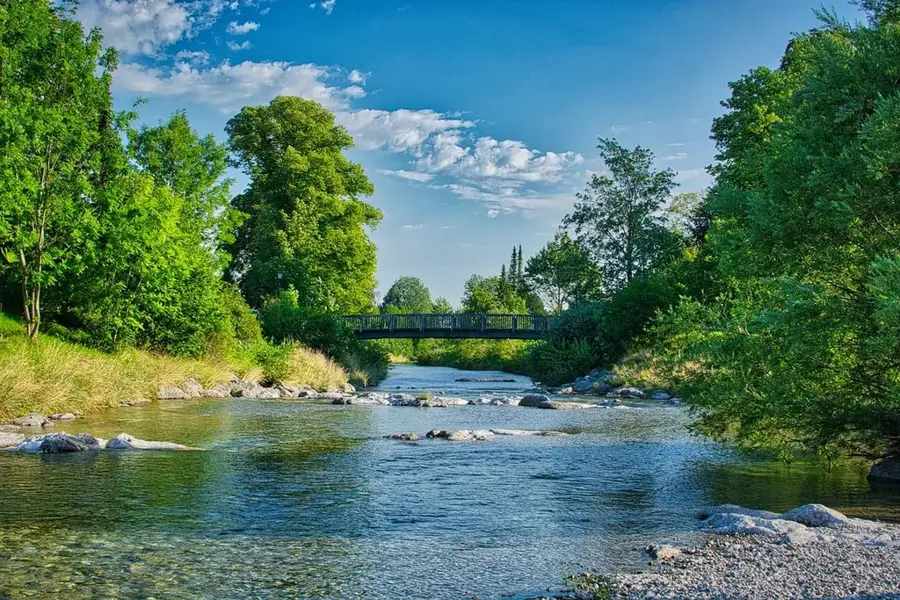
Jiboa River
Weather…
Water temperature…
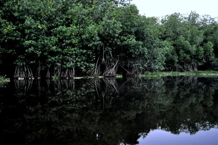
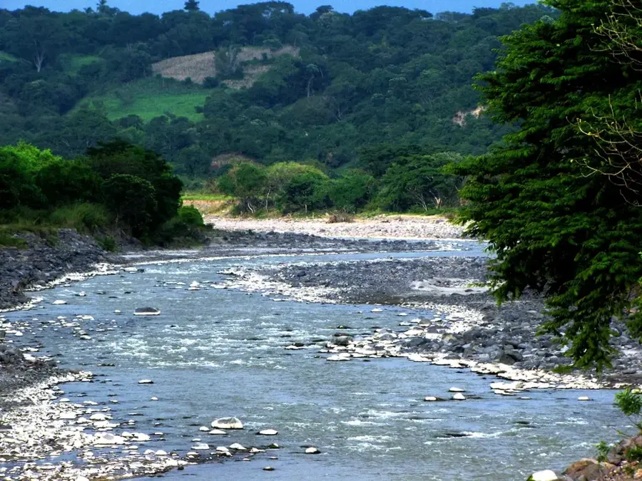
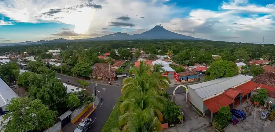
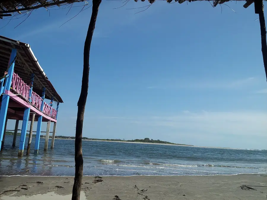
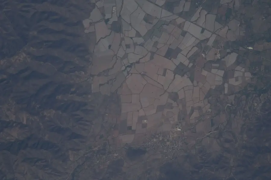
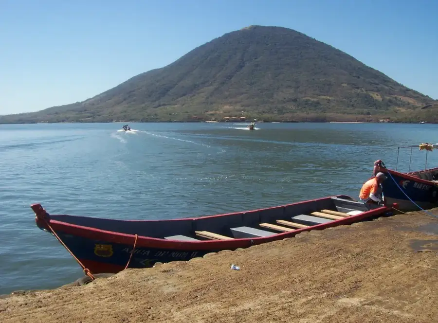
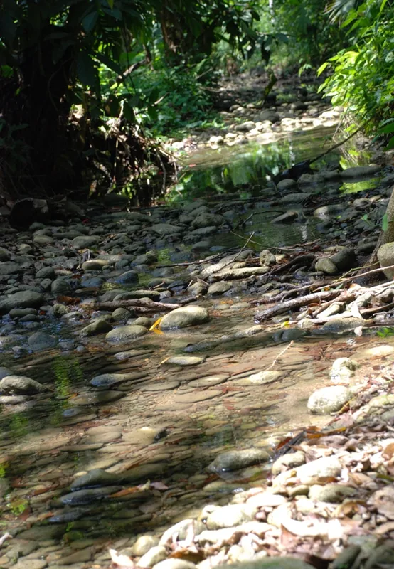
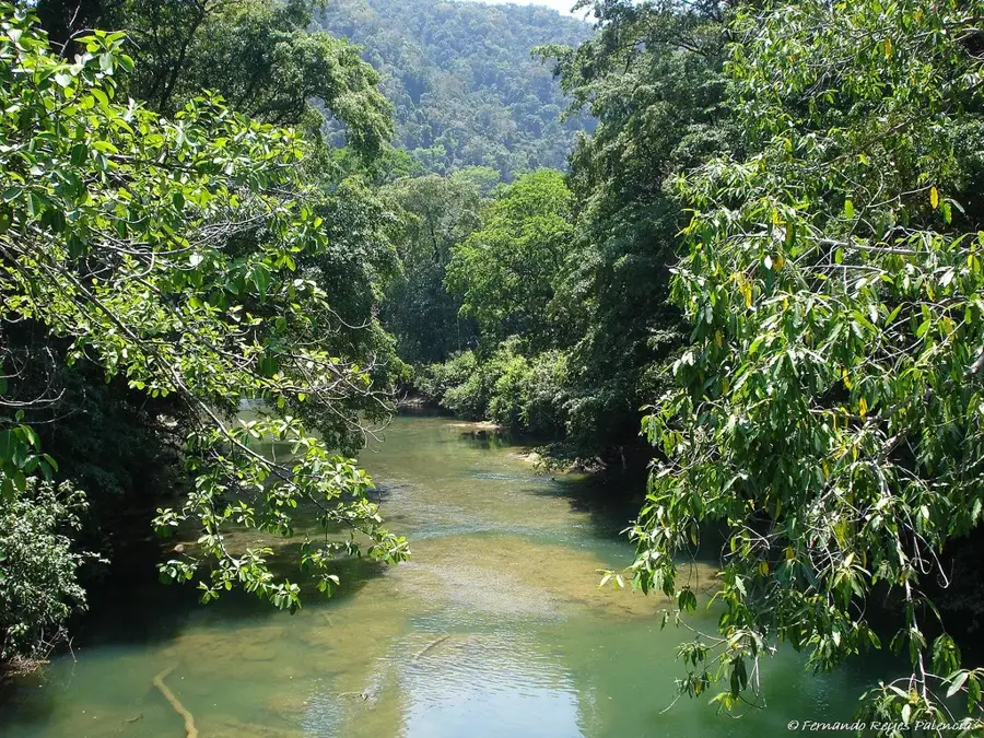
The Jiboa River is a strategically vital waterway in El Salvador, originating in the central highlands and flowing through the Cuscatlán and La Paz departments. It serves as the primary outlet for Lake Ilopango, the country's largest volcanic crater lake, eventually discharging into the Pacific Ocean at the Jaltepeque Estuary. The river spans approximately 60 kilometers in length and drains a basin renowned for its fertile volcanic soils. These lands are intensively cultivated for sugarcane, grains, and fruits. Geomorphologically, the Jiboa Valley is characterized by deep incisions and sedimentary deposits that bear witness to the region's dynamic geological history. Historically, the river has been prone to flooding, leading to extensive flood control measures along its banks. Ecologically, the river corridor provides a habitat for various reptiles and waterfowl. For the local economy, the waters of the Jiboa are fundamental for both irrigation and industrial use within the La Paz region.
- Location: El Salvador
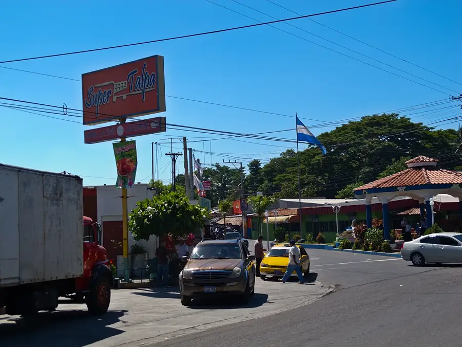
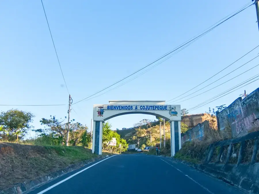
- Nearby: Suchitoto (4 km)
Best time to visit & climate
The most pleasant time to visit is Jan, Nov, Dec.
| Jan | Feb | Mar | Apr | May | Jun | Jul | Aug | Sep | Oct | Nov | Dec | |
|---|---|---|---|---|---|---|---|---|---|---|---|---|
| Avg °C | 27 | 28 | 29 | 29 | 28 | 27 | 28 | 27 | 26 | 26 | 26 | 26 |
| Rain mm | 3 | 4 | 6 | 32 | 169 | 193 | 155 | 198 | 234 | 204 | 41 | 10 |
📋 Practical info
Geography
Facts
- The river has a total length of approximately 60 kilometers.
- It is the only natural outlet for the waters of Lake Ilopango.
- The river basin covers an area of over 600 square kilometers.
- At its mouth, it forms part of the significant Jaltepeque Estuary.
- The 'Puente Jiboa' bridge is a crucial transportation artery for the region.
- Water quality is regularly tested to monitor potential volcanic activity.
Explore nearby
Notable places around
Route planner — Car & Motorhome
Where do you start? We build the route here, with stops and country notes along the way.
© OpenStreetMap contributors · OpenRouteService
Sights nearby
Frequently asked questions
Can you swim in Río Jiboa?
Is the river suitable for canoeing?
Are there many mosquitoes there?
How is the access to the riverbank?
Can you fish there?
Jiboa River: where is it located?
Jiboa River: when is the best time to visit?
Jiboa River: why is it worth visiting?

Nearby cities


History & landmarks
Nature
More places