Plizio Visual Lab
San Luis Talpa
ℹ️Practical info — San Luis Talpa
▾
🌤 Weather — 5 days
📍 Nearby
Sights nearby
💡 Tips
- San Luis Talpa is located right next to the International Airport (SAL), making it well-suited for short layovers or late arrivals.
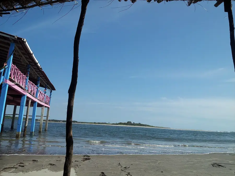
- Playa Amatecampo is a quieter alternative to the more famous tourist beaches, excellent for a peaceful day by the sea.
- Many local hotels offer complimentary shuttle services to and from the airport terminal; ask about this when booking.
- Visit the local beachfront 'ranchos' where you can pay a small fee to use the pool and shaded facilities for the day.
- Take advantage of the proximity to Costa del Sol (30 min) for more upscale beach clubs or boat tours in the estuary.
🍽 Food
A rich seafood soup served fresh at the coastal restaurants along Playa Amatecampo.
Whole fried snapper, best enjoyed directly at the simple beach shacks in La Zunganera.
Fresh shrimp marinated in lime juice, a staple of local seaside eateries.
🛍 Shopping · 🧘 Quiet spots
Buy handmade jewelry and home decor made from local shells directly from beachfront vendors.
Find fresh coconuts, mangoes, and other tropical fruits at stalls along the main road to the airport.
A wide stretch of sandy beach that is often nearly empty, convenient for long, undisturbed walks.
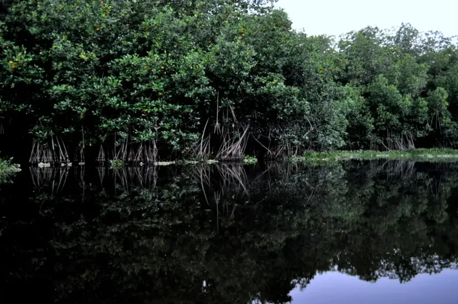
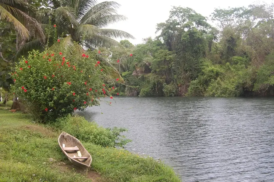
A nearby mangrove estuary offering a very peaceful and scenic natural environment.
Water temperature…
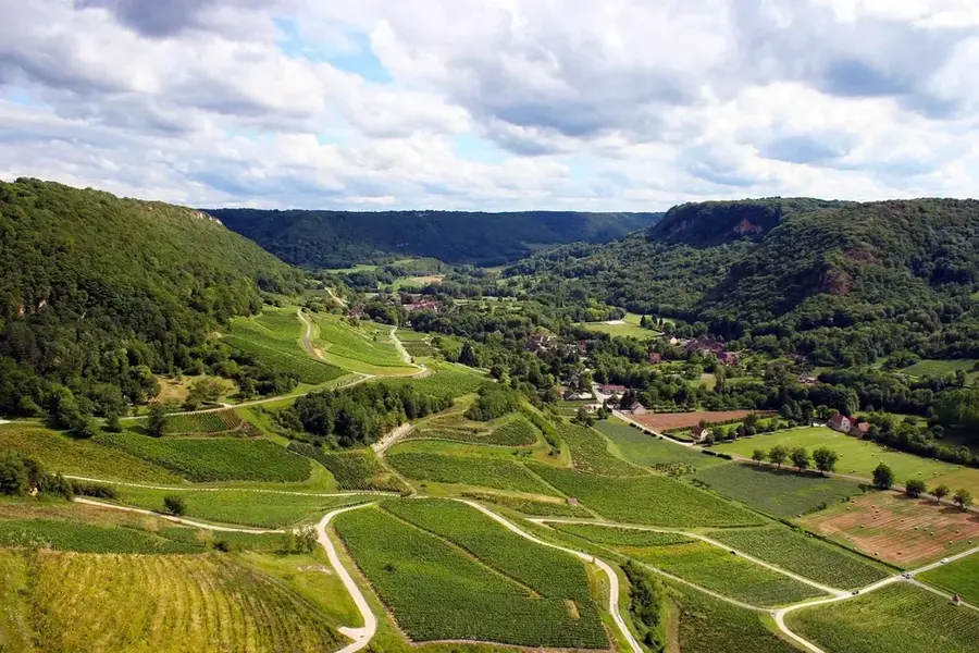
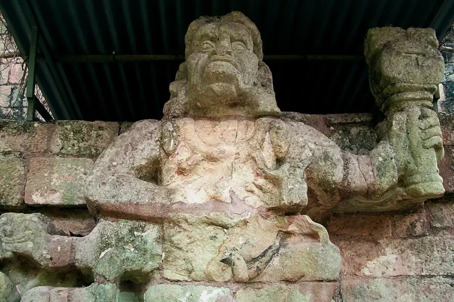
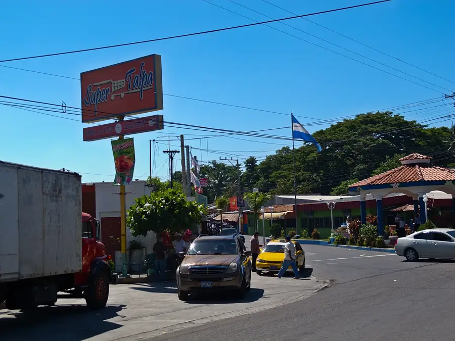
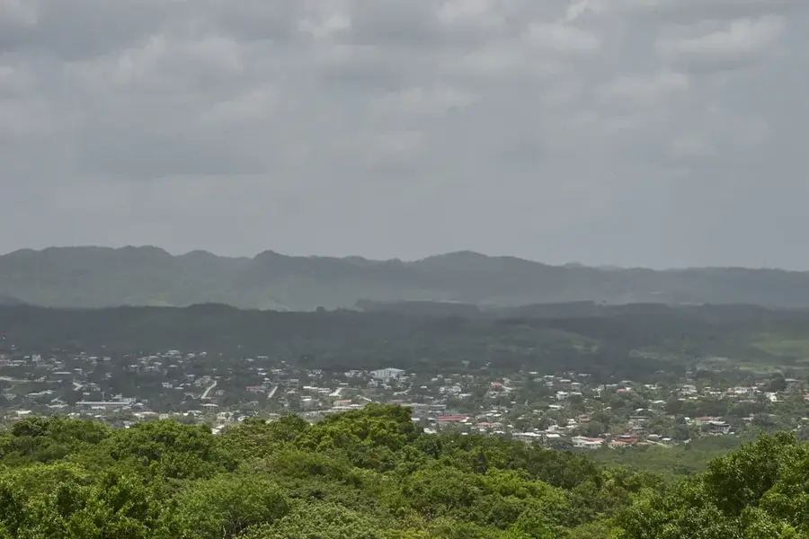
San Luis Talpa is a strategically significant coastal municipality in the La Paz Department, primarily known as the location of the El Salvador International Airport (Óscar Arnulfo Romero). The town is situated in a fertile coastal plain and extends to the Pacific Ocean, with Pimental beach being a popular destination for local tourism. The economy is driven by airport activities, the logistics industry, and agriculture, particularly the cultivation of cotton and corn. Historically, the region was part of the original territory of the Nonualcos, an indigenous group known for their resistance against colonial power. Near the town, there are extensive mangrove forests that form an important ecological buffer and provide habitat for numerous migratory bird species. San Luis Talpa today serves as a vital hub for travelers and cargo, making the city one of the most dynamic economic centers in the coastal region. The infrastructure has modernized significantly in recent decades, while traditional fishing is still practiced in the coastal communities.
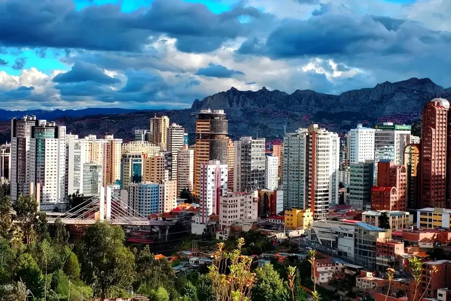
- Location: El Salvador
- Nearby: Soyapango (5 km)
Best time to visit & climate
The most pleasant time to visit is Jan, Nov, Dec.
| Jan | Feb | Mar | Apr | May | Jun | Jul | Aug | Sep | Oct | Nov | Dec | |
|---|---|---|---|---|---|---|---|---|---|---|---|---|
| Avg °C | 27 | 28 | 29 | 29 | 28 | 27 | 28 | 27 | 26 | 26 | 26 | 26 |
| Rain mm | 3 | 4 | 6 | 32 | 169 | 193 | 155 | 198 | 234 | 204 | 41 | 10 |
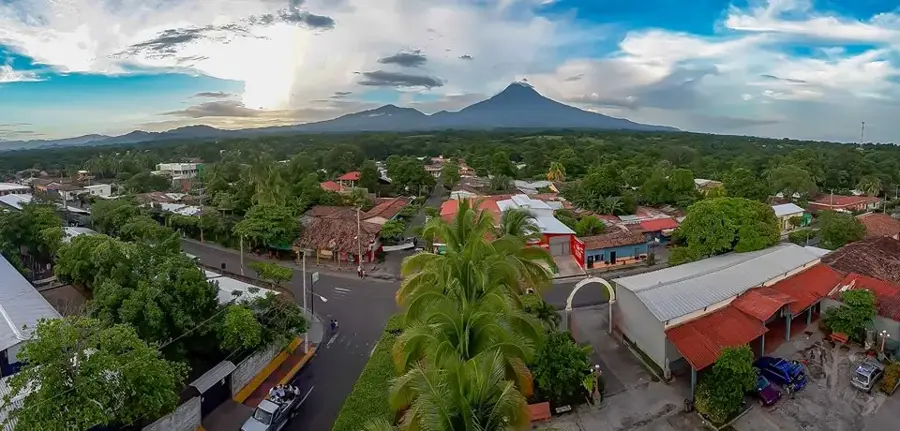
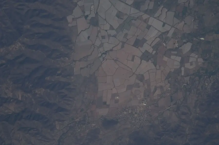
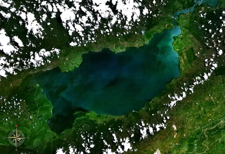
Geography
Facts
- San Luis Talpa houses the largest international airport in the country.
- The municipality is located only about 30 meters above sea level.
- Pimental beach extends for several kilometers along the coast.
- The town was officially elevated to city status in 2005.
- The region belongs to the historical tribal territory of the Nonualcos.
- Major logistics centers and free zones are located within the municipality.
Explore nearby
Notable places around
Route planner — Car & Motorhome
Where do you start? We build the route here, with stops and country notes along the way.
© OpenStreetMap contributors · OpenRouteService
Sights in the town San Luis Talpa (1)
Frequently asked questions
What is the most important thing in San Luis Talpa?
How do I get to the beach from here?
Are there accommodations for travelers there?
Is the town safe?
What local food options are there?
San Luis Talpa: where is it located?
San Luis Talpa: when is the best time to visit?
San Luis Talpa: why is it worth visiting?

Nearby cities


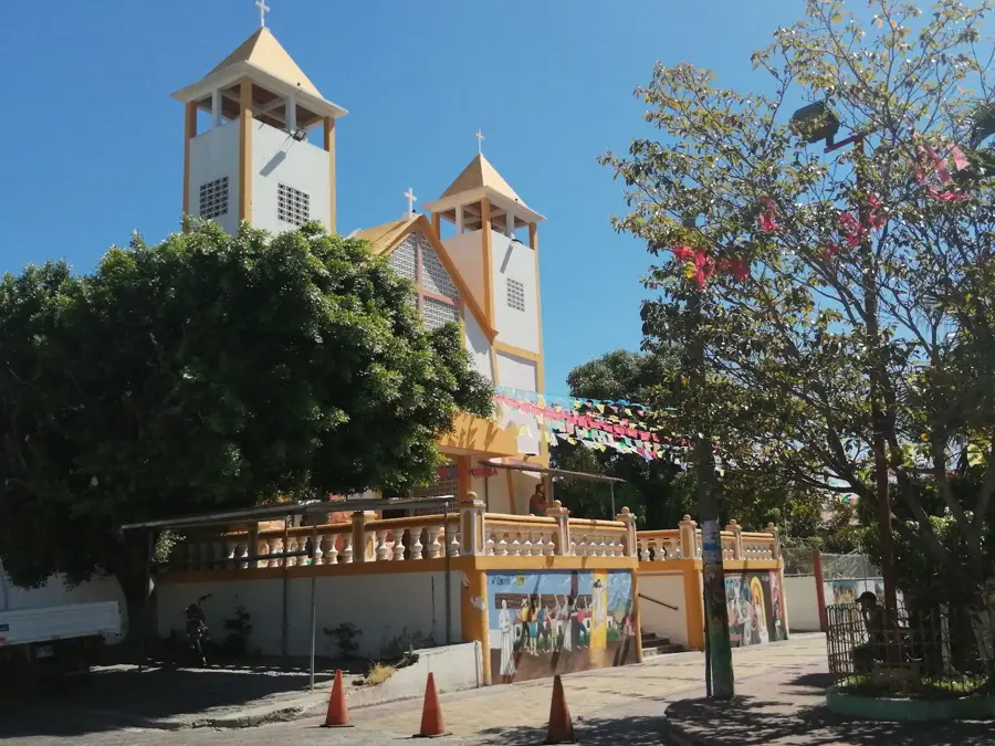


History & landmarks

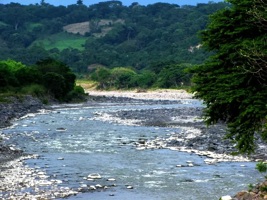
Nature

More places