Plizio Visual Lab
El Rosario

ℹ️Practical info — El Rosario
▾
🌤 Weather — 5 days
📍 Nearby
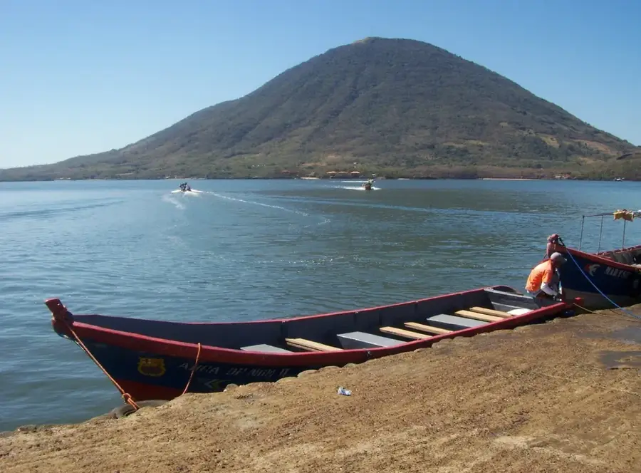
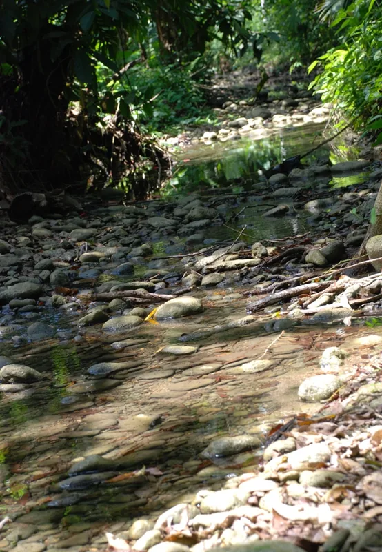
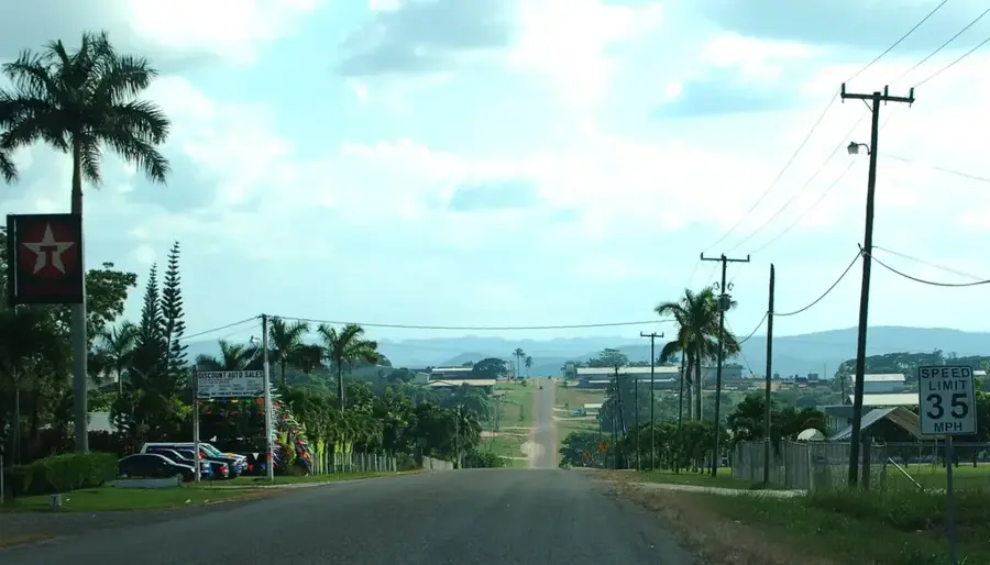
Sights nearby
💡 Tips
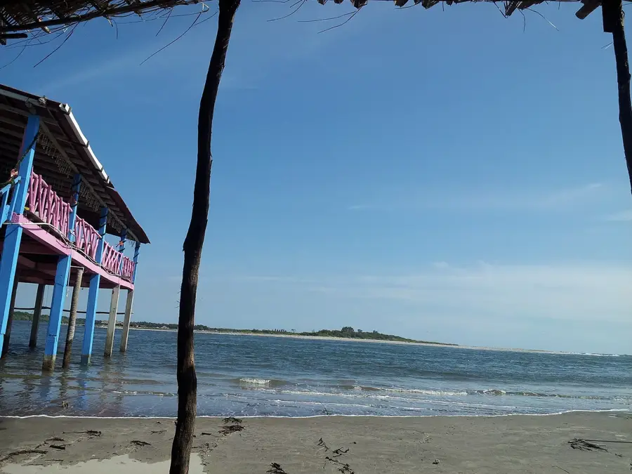
- Combine your visit to the town with a trip to the nearby Pacific beaches of the La Paz department.
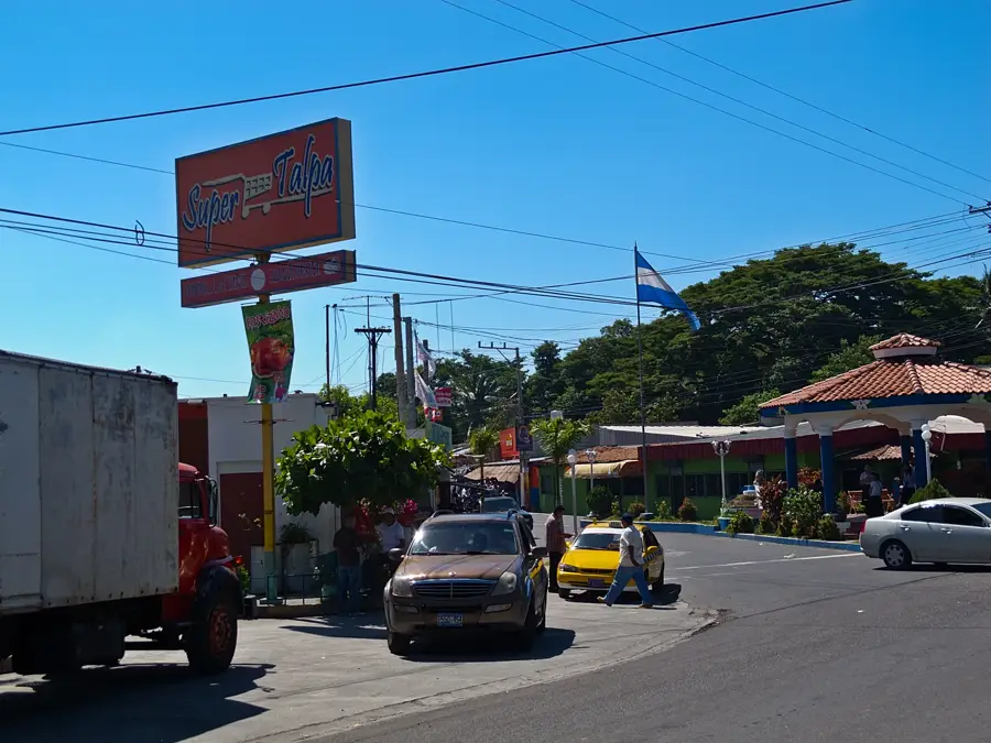
- Take a stroll around the town's central plaza to experience authentic rural Salvadoran life.
- Use the local moto-taxis for a quick and cheap way to get around the center.
- Make sure to try the local sweets offered by street vendors.
🍽 Food
Best tried hot and fresh at family-run pupuserías.
A classic breakfast served in the small local eateries (comedores).
Shaved ice with syrup, sold from handcarts in the center.
🛍 Shopping · 🧘 Quiet spots
Shop early in the morning at the central market.
Often sold by vendors along the main roads.
A shaded spot to watch the daily life of the locals.
Walk along the agricultural areas on the outskirts of town.
Water temperature…
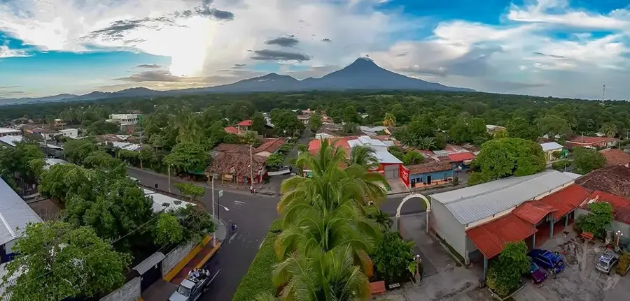
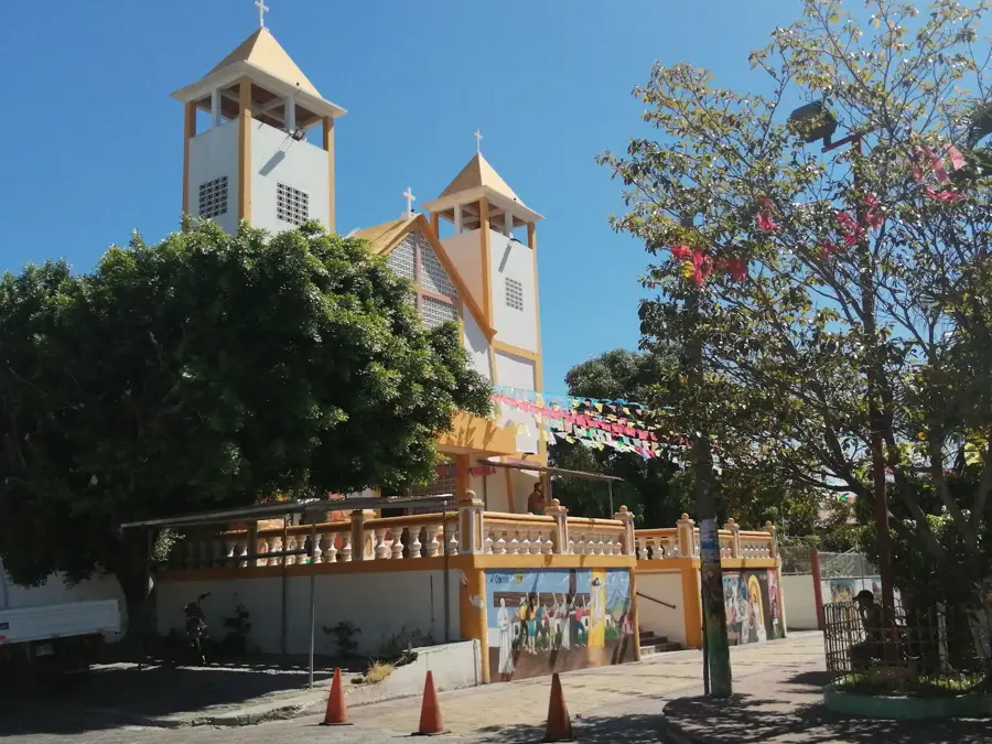
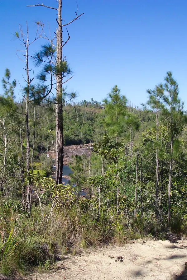
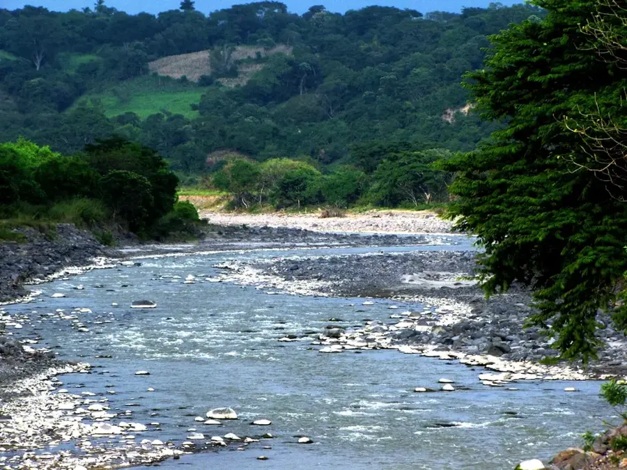
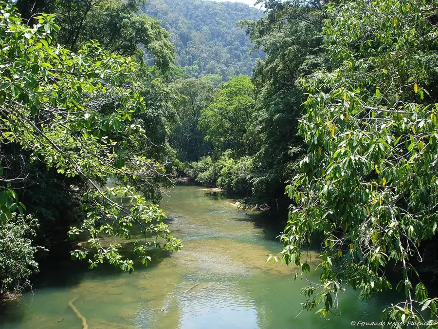
El Rosario is an easy on the eye municipality in the department of La Paz, located in the central-south of El Salvador. The city is characterized by its flat topography, typical of the coastal plain, and lies in a region heavily shaped by agricultural activities. Established in the 19th century, it has evolved over the years into a significant center for the production of grains, fruits, and livestock. Geographically, El Rosario benefits from its proximity to the Pacific coast and the El Salvador International Airport, which enhances its logistical connections. Local culture is defined by traditional religious festivals honoring its patron saint, Our Lady of the Rosary (Virgen del Rosario). Despite its relative proximity to urban centers, El Rosario maintains a quiet, rural lifestyle. The surrounding area is marked by vast fields and tropical vegetation characteristic of the region's warm and humid climate.
- Location: El Salvador
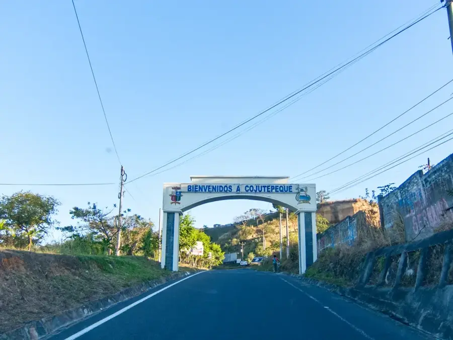
- Nearby: Suchitoto (4 km)
- Population: ~5.620 (2012)
Best time to visit & climate
The most pleasant time to visit is Jan, Nov, Dec.
| Jan | Feb | Mar | Apr | May | Jun | Jul | Aug | Sep | Oct | Nov | Dec | |
|---|---|---|---|---|---|---|---|---|---|---|---|---|
| Avg °C | 27 | 28 | 29 | 29 | 28 | 27 | 28 | 27 | 26 | 26 | 26 | 26 |
| Rain mm | 3 | 4 | 6 | 32 | 169 | 193 | 155 | 198 | 234 | 204 | 41 | 10 |
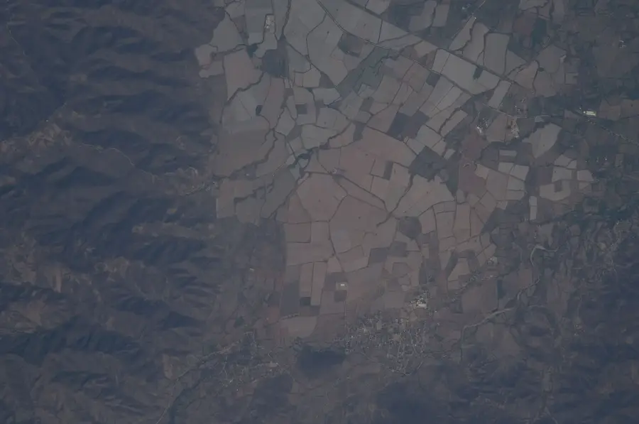
Geography
Facts
- Officially established as a municipality in 1845.
- Located at a low elevation of approximately 50 meters above sea level.
- Major agricultural hub for maize and sorghum production.
- Situated in close proximity to the Saint Oscar Romero International Airport.
- The patronal festival is celebrated annually in October.
- The region is known for its wide plains and cattle pastures.
Explore nearby
Notable places around
Route planner — Car & Motorhome
Where do you start? We build the route here, with stops and country notes along the way.
© OpenStreetMap contributors · OpenRouteService
Frequently asked questions
What is El Rosario known for?
How long is enough for a visit?
Is it a good place for tourists?
When is the best time to arrive?
Is there good gastronomy there?
El Rosario: where is it located?
El Rosario: when is the best time to visit?
El Rosario: why is it worth visiting?

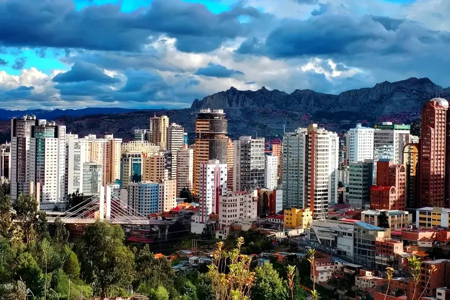
Nearby cities


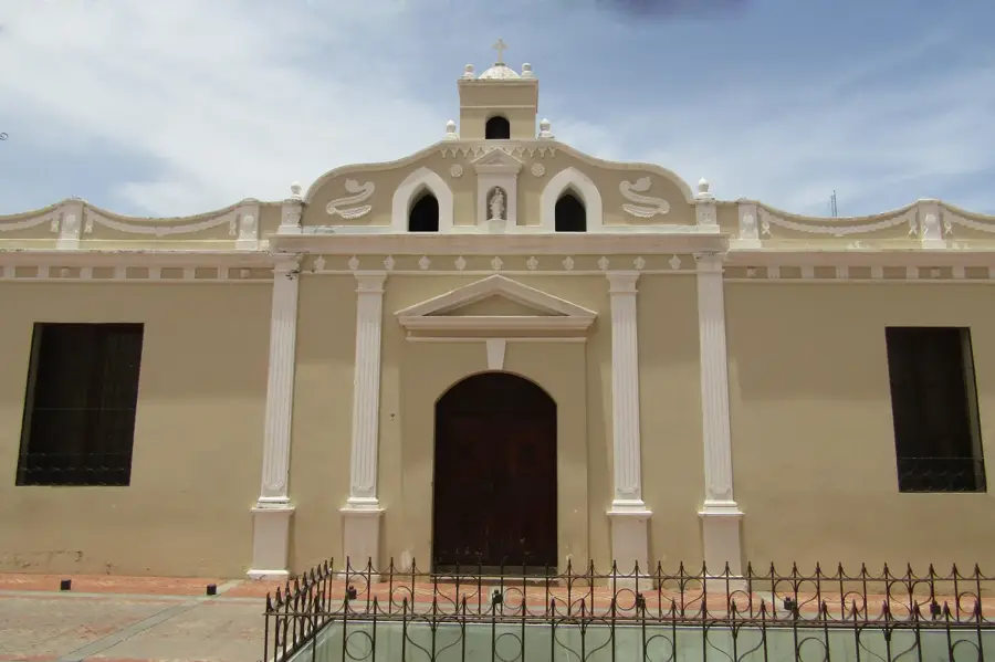
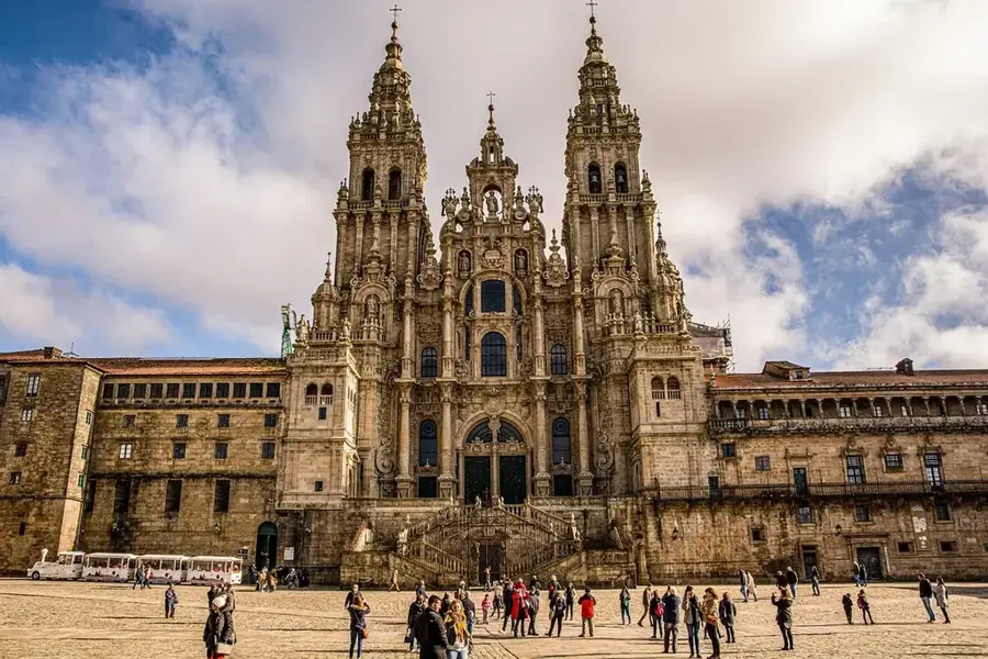
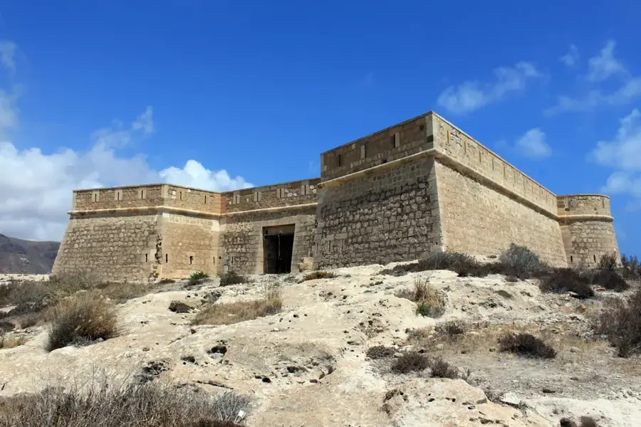
History & landmarks
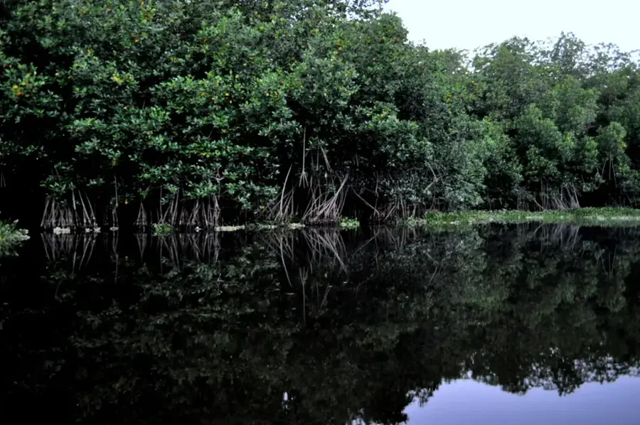
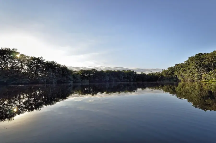
Nature

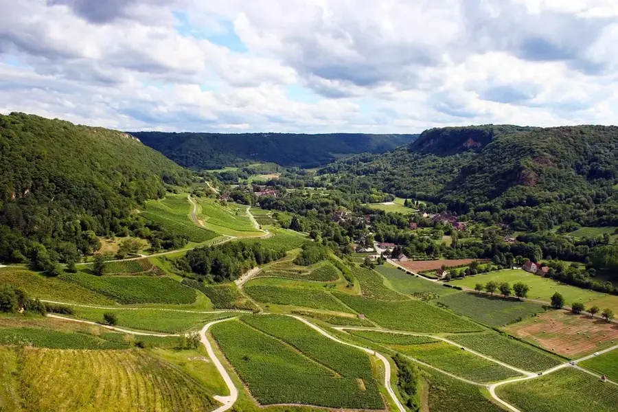
More places