Plizio Visual Lab
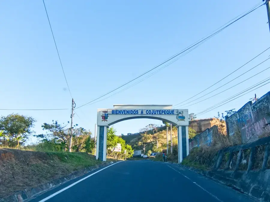
Cojutepeque
ℹ️Practical info — Cojutepeque
▾
🌤 Weather — 5 days
📍 Nearby
Sights nearby
💡 Tips
- The town is famous for its sausages; visiting a local 'embutidos' stall is an absolute must.
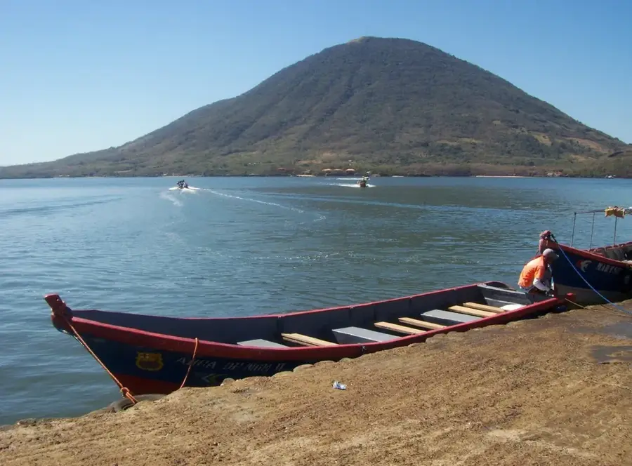
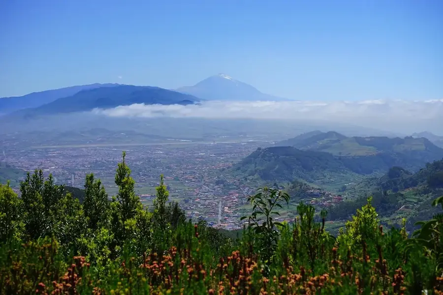
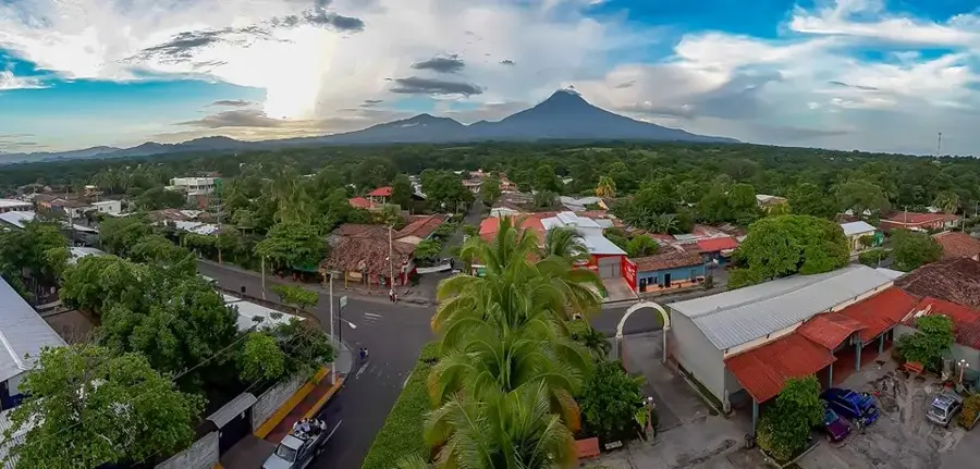
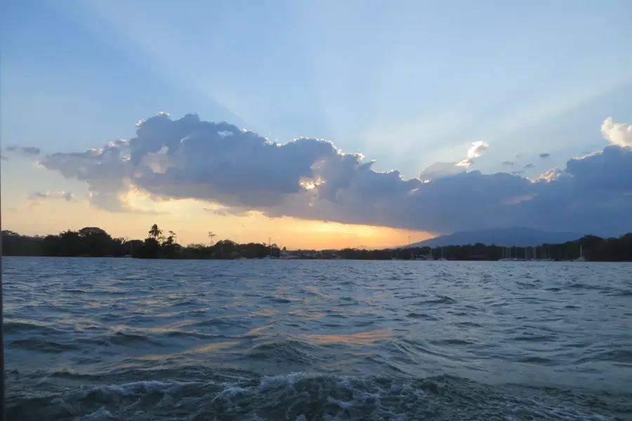
- Cerro de las Pavas provides incredible views of Lake Ilopango and the San Vicente Volcano; try to go on a clear morning.
- The streets can be steep and uneven, so wear comfortable, grippy walking shoes.
- Take a local 'chicken bus' (autobús) for a cheap and colorful, though crowded, ride to San Salvador.
🍽 Food
These iconic, short, tied sausages are marinated in a mix of spices and achiote, and are famous across El Salvador.
The national staple; look for small pupuserías around the central park serving them hot with curtido (pickled cabbage).
Fried cassava topped with crispy pork rind and salsa, a hearty and popular local dish.
🛍 Shopping · 🧘 Quiet spots
The best place to buy strings of the famous Cojutepeque sausages directly from the makers.
Small stalls near the shrine sell religious items and local handicrafts great for gifts.
Located atop Cerro de las Pavas, this is a serene pilgrimage site surrounded by trees and sweeping views.
A relaxed urban space to sit under the shade, enjoy a local snack, and take a break from walking.
Water temperature…
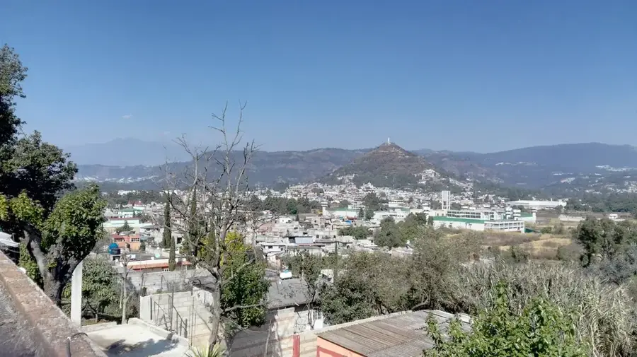
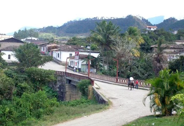
Cojutepeque is the capital city of the Cuscatlán Department in central El Salvador, positioned along the Pan-American Highway approximately 33 kilometers east of San Salvador. Rising to an elevation of 850 meters, the city enjoys a cooler climate than the coastal lowlands, making it a key regional center for trade and agriculture. The name 'Cojutepeque' is derived from the Nawat words for 'Turkey Hill,' a nod to the area's historical natural environment. Historically, the city gained prominence in the 19th century when it repeatedly served as the temporary capital of El Salvador following devastating earthquakes in San Salvador. Economically, Cojutepeque is renowned throughout Central America for its traditional sausage industry, particularly its spicy chorizos and butifarras, which are a source of immense local pride. The city's geography is dominated by the Cerro de las Pavas, a prominent peak that hosts a shrine to Our Lady of Fatima. This hilltop is a major destination for religious pilgrimage and has sweeping vistas of Lake Ilopango and the San Vicente Volcano. The surrounding area is agriculturally productive, focusing on coffee, sugarcane, and basic grains, which are traded in the city’s bustling central market. Cojutepeque's population is a mix of urban professionals and rural farmers, creating a dynamic social fabric. The city also serves as a critical transportation node, linking the capital with the eastern provinces. Cultural life centers around the annual 'Fiestas Patronales' in January, featuring traditional dances, music, and local gastronomy that highlight the region's Pipil and Spanish heritage. Despite the challenges of modernization, the city maintains its colonial layout and a strong sense of community identity.
- Location: El Salvador
- Nearby: Costa del Sol (4 km)
- Population: ~48.411 (2026)
Best time to visit & climate
The most pleasant time to visit is Jan, Nov, Dec.
| Jan | Feb | Mar | Apr | May | Jun | Jul | Aug | Sep | Oct | Nov | Dec | |
|---|---|---|---|---|---|---|---|---|---|---|---|---|
| Avg °C | 27 | 28 | 29 | 29 | 28 | 27 | 28 | 27 | 26 | 26 | 26 | 26 |
| Rain mm | 3 | 4 | 6 | 32 | 169 | 193 | 155 | 198 | 234 | 204 | 41 | 10 |
Geography
Facts
- Cojutepeque's name means 'Hill of the Turkeys' in the indigenous Nawat language.
- The city served as the national capital during several periods between 1832 and 1859.
- Cerro de las Pavas is a volcanic hill that serves as a major tourist attraction.
- The city's famous chorizos are exported throughout Central America.
- It is the administrative capital of the smallest department in El Salvador, Cuscatlán.
- The Pan-American Highway connects the city to both borders of the country.
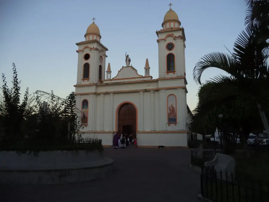
- The local parish church, San Juan Bautista, is a central architectural landmark.
- Cojutepeque has a population of approximately 50,000 residents in the urban core.
Explore nearby
Notable places around
Route planner — Car & Motorhome
Where do you start? We build the route here, with stops and country notes along the way.
© OpenStreetMap contributors · OpenRouteService
Frequently asked questions
What is Cojutepeque known for?
Are there good viewpoints?
How long does a visit take?
Is the area child-friendly?
When do festivals take place?
Cojutepeque: where is it located?
Cojutepeque: when is the best time to visit?
Cojutepeque: why is it worth visiting?

Nearby cities
History & landmarks

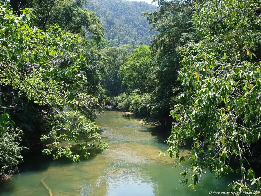
Nature
More places