Plizio Visual Lab
Nancuchiname Forest

Weather…
Water temperature…
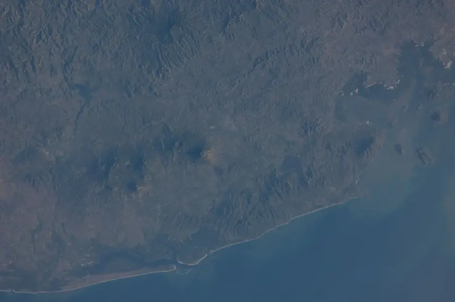
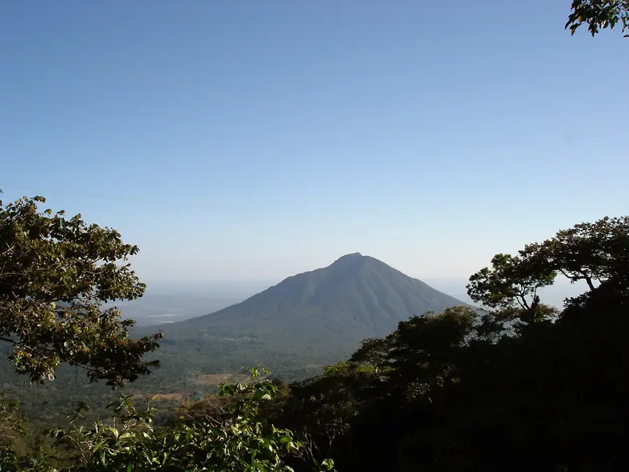
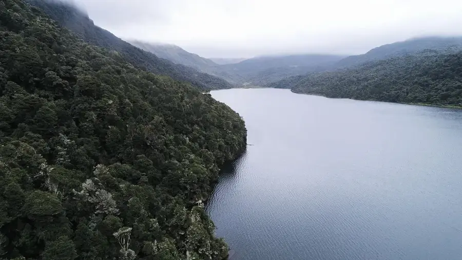
The Nancuchiname Forest is one of the last significant remnants of tropical dry forest in El Salvador, located in the Usulután Department. This protected area lies within the alluvial plain of the Lempa River and hosts exceptional biological diversity within a relatively small territory. The forest serves as a vital refuge for endangered animal species, including spider monkeys, iguanas, and a vast array of migratory birds. Floristically, the area is characterized by massive Ceiba trees and other hardwood species adapted to the region's distinct dry seasons. The soils are extremely fertile, which historically led to significant settlement pressure and the conversion of forest land into agricultural use. Today, the forest is under state protection and forms part of a biological corridor designed to ensure the conservation of genetic resources. Research projects focus on reforestation and shielding the local fauna from poaching activities. For visitors, the forest features guided hiking trails that provide insights into an ecosystem that has largely vanished across Central America.
- Location: El Salvador
- Nearby: Jiquilisco (9 km)
Best time to visit & climate
The most pleasant time to visit is Jan, Nov, Dec.
| Jan | Feb | Mar | Apr | May | Jun | Jul | Aug | Sep | Oct | Nov | Dec | |
|---|---|---|---|---|---|---|---|---|---|---|---|---|
| Avg °C | 27 | 28 | 29 | 29 | 28 | 27 | 28 | 27 | 26 | 26 | 26 | 26 |
| Rain mm | 3 | 4 | 6 | 32 | 169 | 193 | 155 | 198 | 234 | 204 | 41 | 10 |
📋 Practical info
Geography
Facts
- The forest covers an area of approximately 750 hectares.
- It is home to one of the last spider monkey populations in El Salvador.
- The area sits at an elevation of less than 10 meters above sea level.
- The average temperature in the region is about 28 degrees Celsius.
- More than 150 different bird species have been documented in the forest.
- The name 'Nancuchiname' originates from the indigenous Nahuat language.
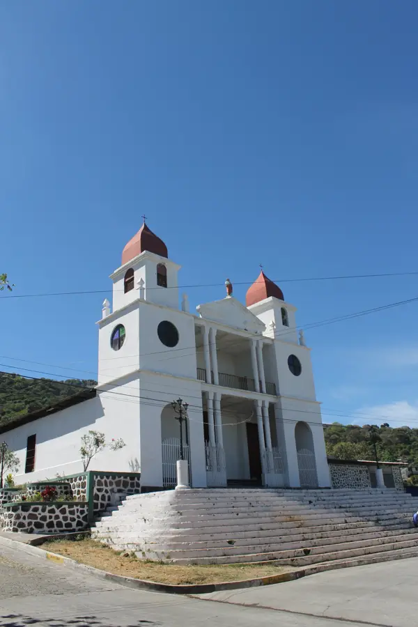
Explore nearby
Notable places around
Route planner — Car & Motorhome
Where do you start? We build the route here, with stops and country notes along the way.
© OpenStreetMap contributors · OpenRouteService
Sights nearby
Frequently asked questions
Are there trees there?
What is special about it?
Is it accessible?
Are there hiking guides?
When to visit?
Nancuchiname Forest: where is it located?
Nancuchiname Forest: when is the best time to visit?
Nancuchiname Forest: why is it worth visiting?

Nearby cities

Nature
More places