Plizio Visual Lab
Santiago Texacuangos
ℹ️Practical info — Santiago Texacuangos
▾
🌤 Weather — 5 days
📍 Nearby
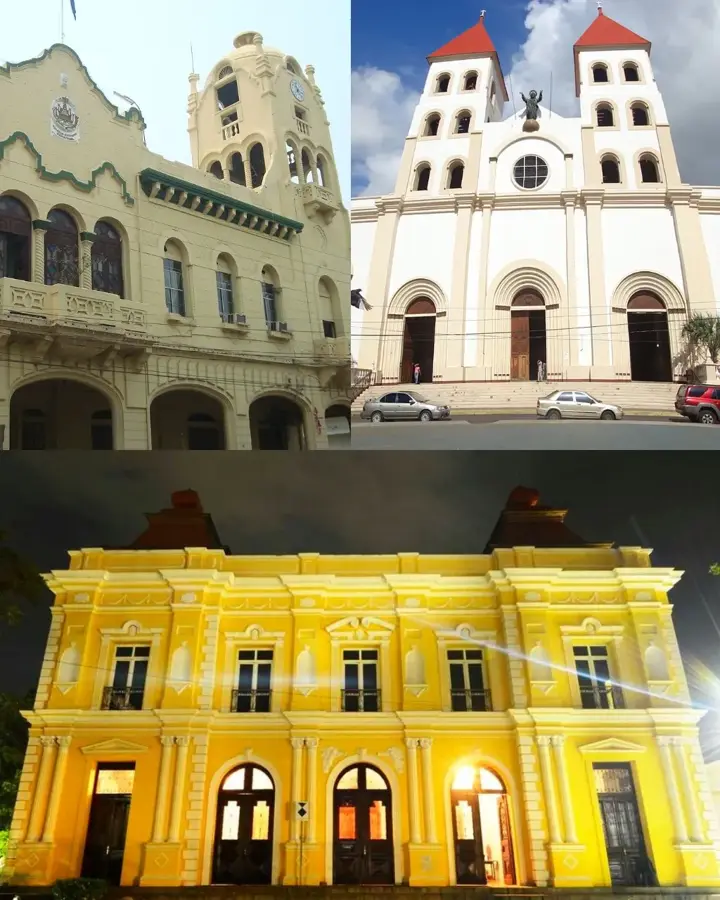
Sights nearby
💡 Tips
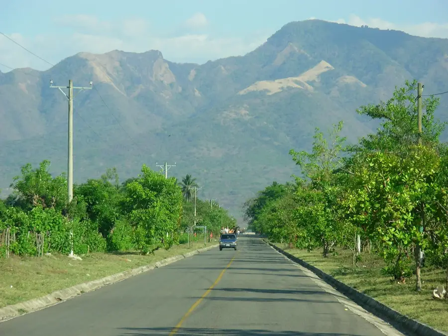
- Drive or take a bus along the Ruta Panorámica for dramatic views of Lake Ilopango and the volcanoes.
- Keep US Dollars in small denominations handy, as many local roadside vendors do not accept cards.
- Try to visit during the local patron saint festivities in July for a lively display of culture and street food.
- Dress lightly for the tropical weather, but carry a rain jacket if visiting between May and October.
🍽 Food
The iconic thick stuffed tortillas; enjoy them fresh at the pupuserías along the panoramic route.
A rich, free-range chicken soup commonly served as a weekend lunch in local comedores.
Sweet plantain dough filled with milk custard, excellent alongside Salvadoran coffee.
🛍 Shopping · 🧘 Quiet spots
Buy fresh mangoes, jocotes, and coconuts from farmers' stands along the road.
Small souvenirs and handcrafted items can be found at shops near the main viewpoints.
Stop at one of the many miradores for a tranquil, expansive view over the crater lake.
A quiet place to relax on a weekday afternoon and observe the slow-paced local life.
Water temperature…
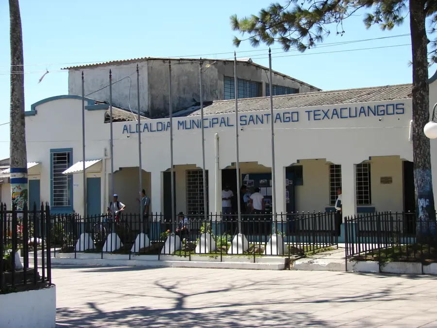
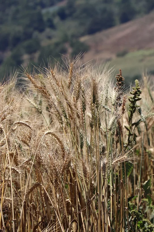
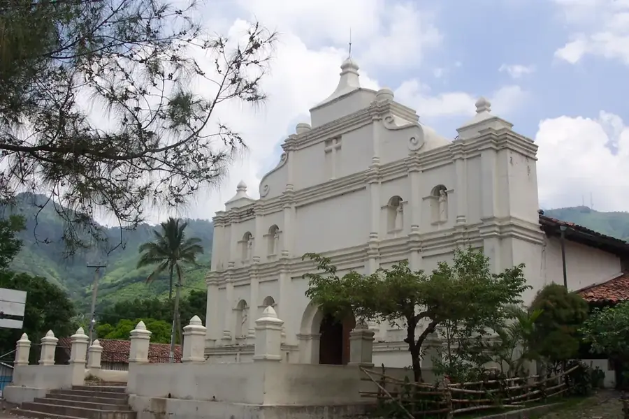
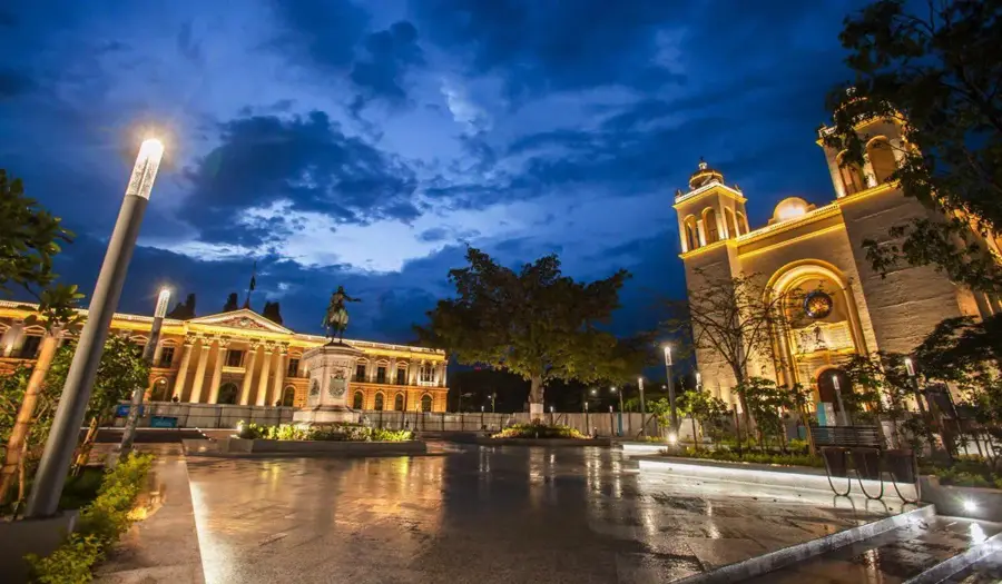
Santiago Texacuangos is a strategically located municipality in the San Salvador Department, situated at an altitude of approximately 800 meters above sea level on the edge of the Ilopango Lake caldera. The settlement's history dates back to pre-Columbian times when it was inhabited by Pipil tribes, and its name in the Nahuat language translates to place of many stones. Geographically, the area is characterized by its rugged topography and temperate climate, making it an important center for the cultivation of coffee and fruit trees. During the colonial era, the settlement was part of the San Salvador district and maintained its agricultural significance throughout the centuries. Modern infrastructure closely connects the city with the national capital, while the viewpoints overlooking Lake Ilopango play a significant role in local tourism. Historical records mention its elevation to city status in 2005, reflecting the urban development and population growth in this photogenic region.
- Location: El Salvador
- Nearby: Panchimalco (6 km)
- Population: ~14.581 (2012)
Best time to visit & climate
The most pleasant time to visit is Jan, Nov, Dec.
| Jan | Feb | Mar | Apr | May | Jun | Jul | Aug | Sep | Oct | Nov | Dec | |
|---|---|---|---|---|---|---|---|---|---|---|---|---|
| Avg °C | 27 | 28 | 29 | 29 | 28 | 27 | 28 | 27 | 26 | 26 | 26 | 26 |
| Rain mm | 3 | 4 | 6 | 32 | 169 | 193 | 155 | 198 | 234 | 204 | 41 | 10 |
Geography
Facts
- Santiago Texacuangos is situated at an elevation of 810 meters.
- The name is of Nahuat origin, meaning place of stones.
- The settlement was officially elevated to city status in 2005.
- The total area of the municipality is approximately 30.52 square kilometers.
- The town is located on the southern rim of the Ilopango Lake basin.
- Coffee is the primary agricultural export product of the region.
Explore nearby
Notable places around
Route planner — Car & Motorhome
Where do you start? We build the route here, with stops and country notes along the way.
© OpenStreetMap contributors · OpenRouteService
Sights in the town Santiago Texacuangos (1)
Frequently asked questions
What is special about Santiago Texacuangos?
How is Lake Ilopango accessible?
Is the area suitable for photography?
How much time should I plan for?
Are there dining options there?
Santiago Texacuangos: where is it located?
Santiago Texacuangos: when is the best time to visit?
Santiago Texacuangos: why is it worth visiting?

Nearby cities

History & landmarks


More places