Plizio Visual Lab
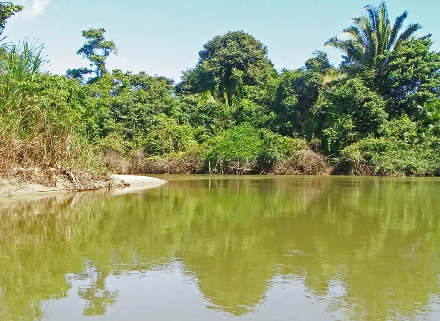
Sarstoon-Temash National Park
Weather…
Water temperature…
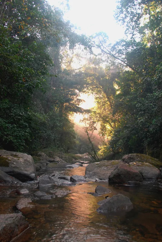
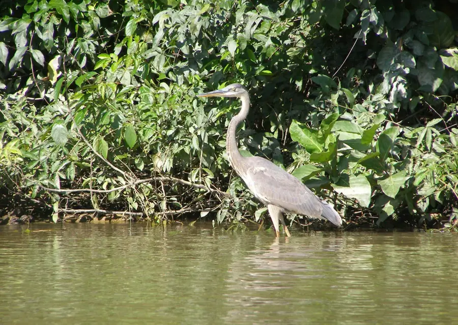
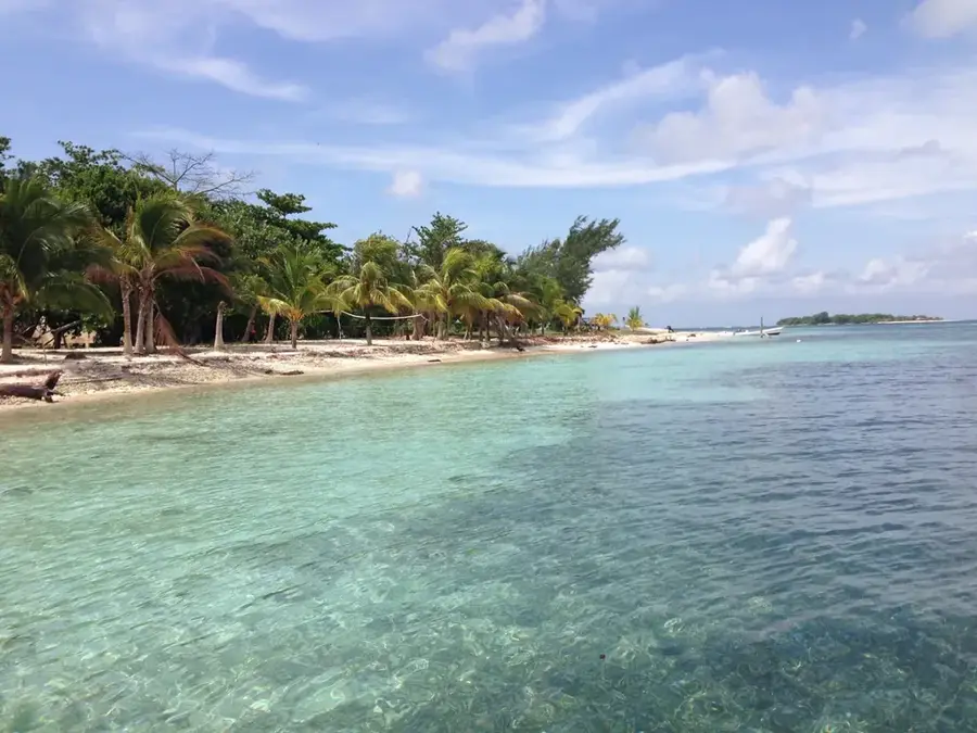
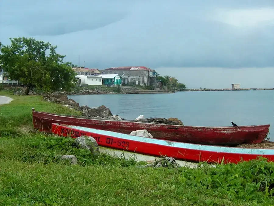
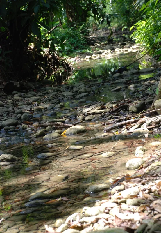
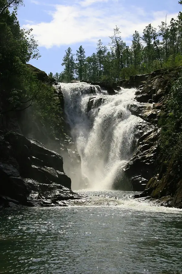
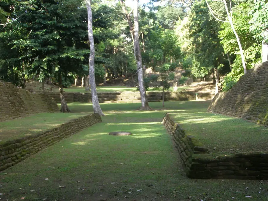
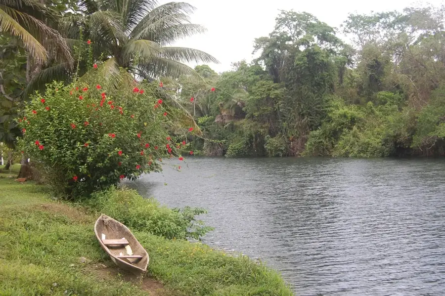
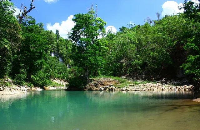
Sarstoon-Temash National Park, located in the Toledo District of southern Belize, is a unique and remote protected area. It is renowned for its large and largely undisturbed mangrove ecosystem, the largest in Belize. The park also includes tropical moist forest and a rare comfre-palm swamp landscape. This diversity of habitats supports a rich wildlife, including the jaguar, tapir, manatee, and all five of Belize's wildcat species. The park is co-managed by the Sarstoon Temash Institute for Indigenous Management (SATIIM), making it an important example of indigenous community involvement in conservation. Its remote location and limited infrastructure mean the park receives few visitors, which helps to preserve its wild and pristine character. It is bordered to the south by the Sarstoon River, which forms the border with Guatemala.
- Location: Belize
- Nearby: Spanish Lookout (4 km)
Best time to visit & climate
The most pleasant time to visit is Feb–Apr.
| Jan | Feb | Mar | Apr | May | Jun | Jul | Aug | Sep | Oct | Nov | Dec | |
|---|---|---|---|---|---|---|---|---|---|---|---|---|
| Avg °C | 24 | 25 | 26 | 27 | 28 | 27 | 27 | 27 | 27 | 26 | 25 | 24 |
| Rain mm | 134 | 95 | 74 | 55 | 138 | 244 | 209 | 215 | 249 | 250 | 229 | 146 |
📋 Practical info
Geography
Facts
- Belize's southernmost national park, covering about 41,000 acres.
- Home to the only 'sphagnum moss' bog forest in Central America.
- The park includes the entire watersheds of the Sarstoon and Temash rivers within Belize.
- Features some of the tallest and best-preserved mangrove forests in the country.
- Critical nesting ground for many species of migratory and resident waterbirds.
- Co-managed by SATIIM, representing the local indigenous communities.
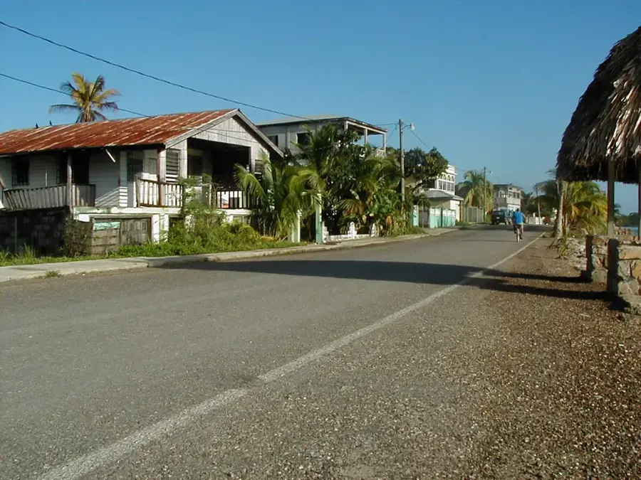
- Accessible primarily by boat from the town of Punta Gorda.
Explore nearby
Notable places around
Route planner — Car & Motorhome
Where do you start? We build the route here, with stops and country notes along the way.
© OpenStreetMap contributors · OpenRouteService
Sights nearby
Frequently asked questions
Where is this national park located?
What is special about the mangroves there?
What animals live in the park?
Can you visit the park on your own?
How do you reach the park?
Sarstoon-Temash National Park: where is it located?
Sarstoon-Temash National Park: when is the best time to visit?
Sarstoon-Temash National Park: why is it worth visiting?

Nearby cities


History & landmarks
Nature
More places