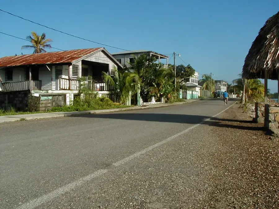
Plizio Visual Lab

Rio Grande (Belize)

Plizio editorial teamData Sources
River
—°
Rio Grande (Belize) (Belize)

Weather…

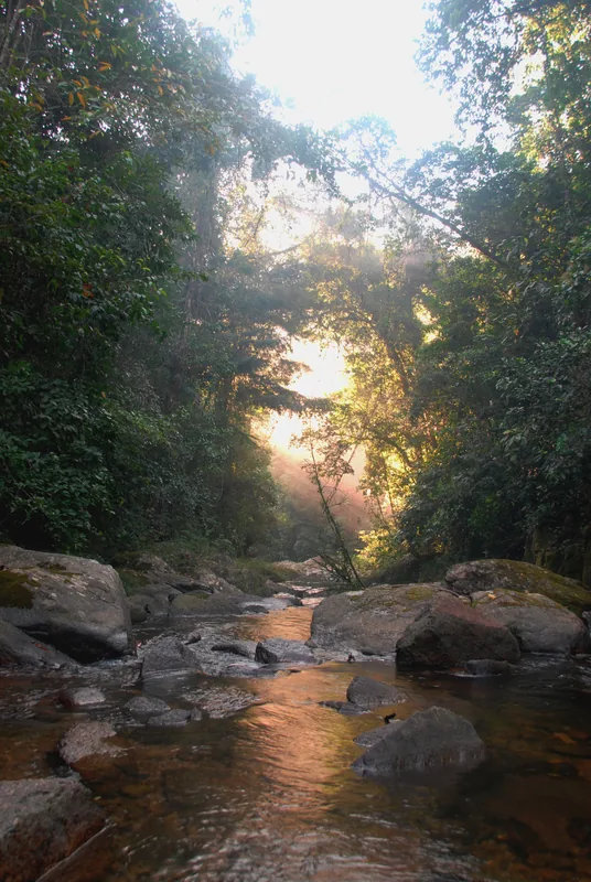
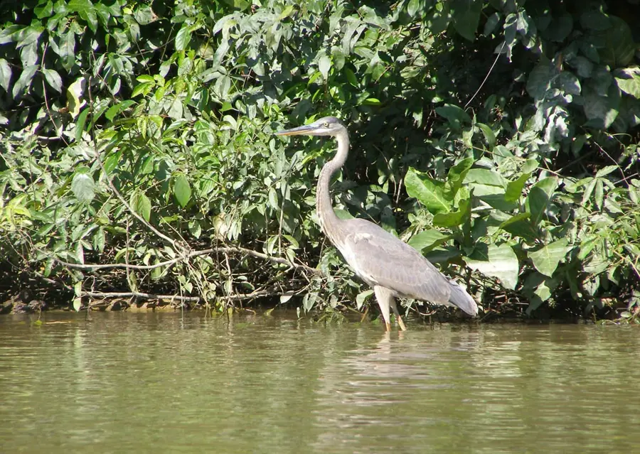
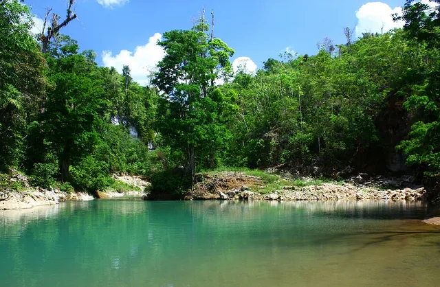
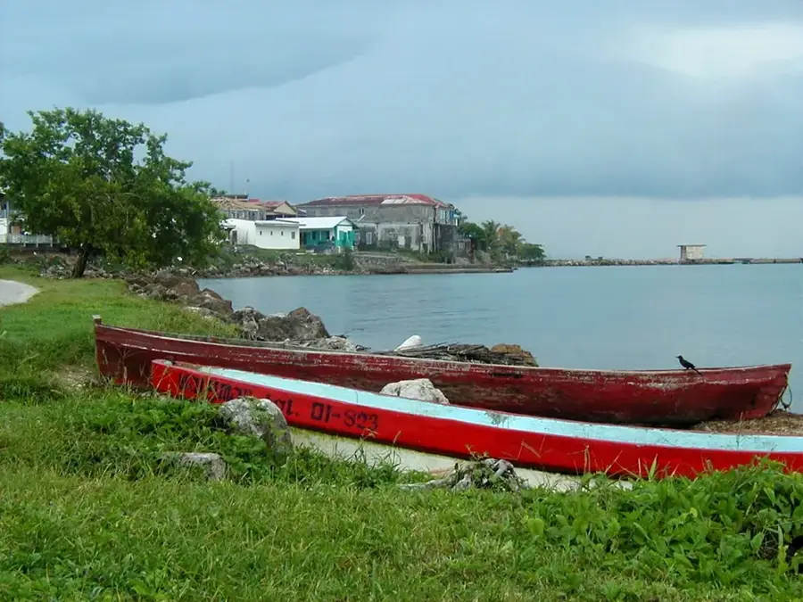
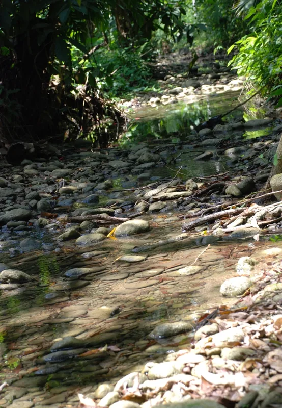
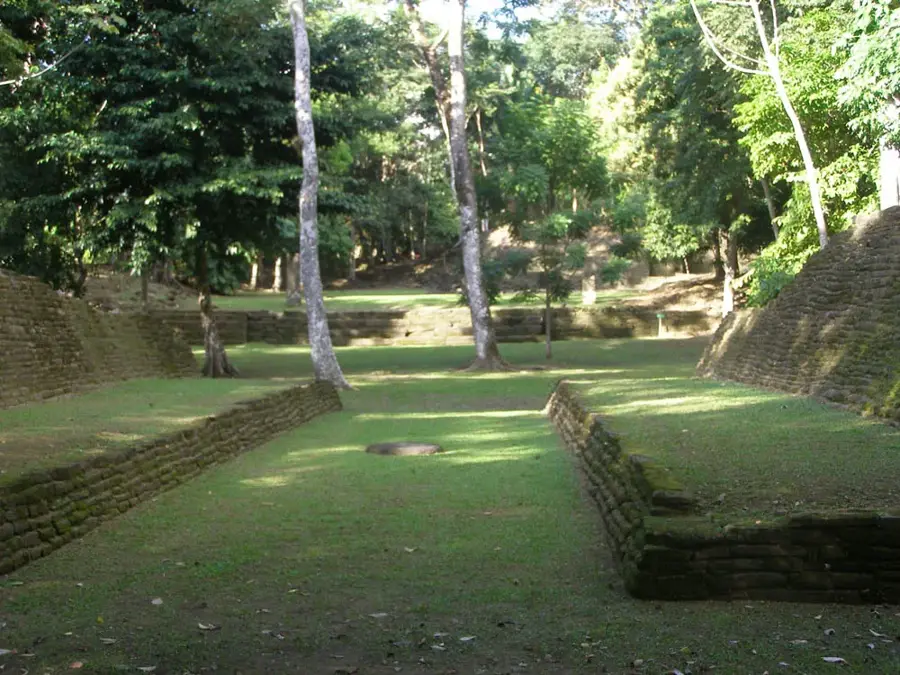
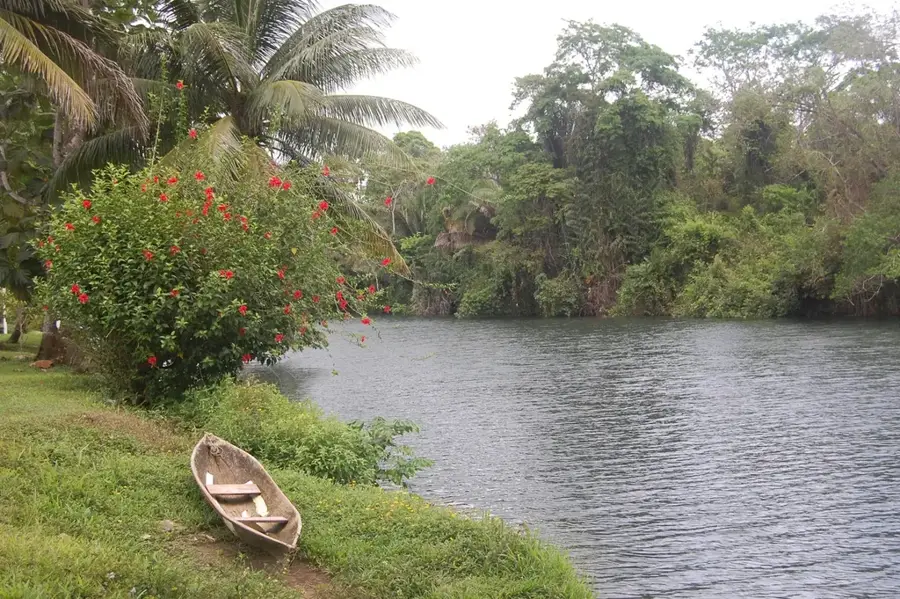
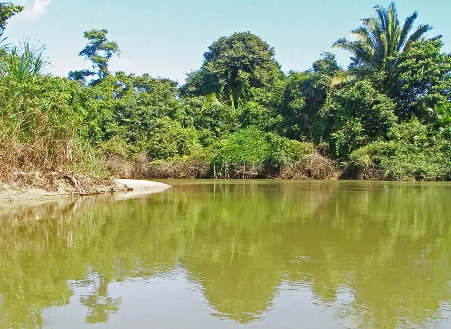
The Rio Grande is one of the largest rivers in the Toledo District of southern Belize. It also originates in the Maya Mountains and flows through agricultural areas and forests before emptying into the Caribbean Sea near the town of Punta Gorda. The river is an important resource for the surrounding communities, serving for transportation, fishing, and water supply for agriculture, especially for rice fields and other crops. The Rio Grande watershed is rich in Maya archaeological sites, including the major site of Lubaantun. The river itself is home to a diverse aquatic fauna, including various fish species and crocodiles. Boat trips on the Rio Grande offer insights into rural life in Belize and the opportunity to observe wildlife. Sustainable management of the river and its watershed is important to balance agricultural productivity and ecological health.

Best time to visit & climate

The most pleasant time to visit is Feb–Apr.

JanFebMarAprMayJunJulAugSepOctNovDec
Avg °C242526272827272727262524
Rain mm134957455138244209215249250229146

📋 Practical info

🧭
Getting there
Accessing this vital southern waterway is most typically accomplished by joining guided boat tours or fishing trips departing from nearby coastal towns. Reaching the riverbanks by land can be difficult and involves navigating narrow, unmarked agricultural dirt tracks.
📅
Best season
The broadly recommended period for visiting spans the traditional dry months, which offer the most favorable conditions for navigation and agricultural observation. Extended periods of heavy rain can cause the river to swell rapidly, drastically altering its normal flow.
⛰️
Terrain & paths
The journey along the water is smooth, framed by a mix of functional agricultural lands and stretches of undisturbed natural riparian vegetation. If venturing onto the shores, expect highly uneven, muddy banks deeply carved by the persistent currents over many years.
🎒
What to bring
Proper sun protection is crucial while completely exposed on the open water, including polarized eyewear and lightweight, UV-resistant clothing. A reliable dry bag is heavily advised to ensure all your sensitive electronics remain safe from unexpected water splashes.
🅿️
Parking
For those arriving with their own transport, parking is almost exclusively coordinated near the local docks or specific launch points designated by the boat operators. Leaving your vehicle in recognized, populated areas rather than isolated roadsides is strongly advised.
⚠️
Safety
The primary safety directive is to remain attentively seated within your hired vessel and consistently heed the advice of the local river guides. Avoid consuming untreated water directly from the river, and maintain a respectful distance from any wildlife encountered.
⏱️
Time needed
A typical guided exploration or targeted fishing excursion on this waterway generally occupies approximately three to five hours of the day. More comprehensive cultural or extended agricultural tours encompassing the wider district may stretch into a complete day activity.

Geography

Coordinates
16.20000, -88.80000

Facts

  • Flows for approximately 100 kilometers from the Maya Mountains to the coast.
  • Drains into the Caribbean Sea just north of Punta Gorda.
  • The river is a primary source of water for several Maya villages.
  • Home to a diverse population of freshwater fish and crocodiles.
  • Critical for the health of the downstream Port Honduras Marine Reserve.
  • Historically important for the transport of cacao and other agricultural products.
  • The river's watershed contains several significant ancient Maya archaeological sites.

Explore nearby

Notable places around

Route planner — Car & Motorhome

Where do you start? We build the route here, with stops and country notes along the way.

Vehicle
Only stops with (optional):

© OpenStreetMap contributors · OpenRouteService

Sights nearby

Frequently asked questions

Why is the Rio Grande in Belize worth visiting?
Because of the cave systems at its upper reaches and the untouched nature.
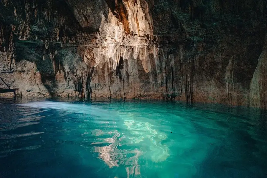
Can you do cave tours there?
Yes, guided cave tours, such as the Rio Grande Cave, are very popular.
Which region of Belize does the river flow through?
It flows through the Toledo District in the south of the country.
Are there Maya sites nearby?
Yes, Lubaantun and Nim Li Punit are located relatively close to the river.
How is the river current?
Mostly calm, good for canoeing, but can swell after rainfall.
Rio Grande (Belize): where is it located?
Rio Grande (Belize) is located in Belize.
Rio Grande (Belize): when is the best time to visit?
The most pleasant time to visit is Feb, Apr.
Rio Grande (Belize): why is it worth visiting?
The Rio Grande is one of the largest rivers in the Toledo District of southern Belize.
View on map → The Top 50 Attractions → OpenStreetMap →
North America
Explore with Plizio Discover more places in North America
More places in Belize →

Nearby cities

History & landmarks

Nature

More places