Plizio Visual Lab
Sarstoon River
Weather…
Water temperature…
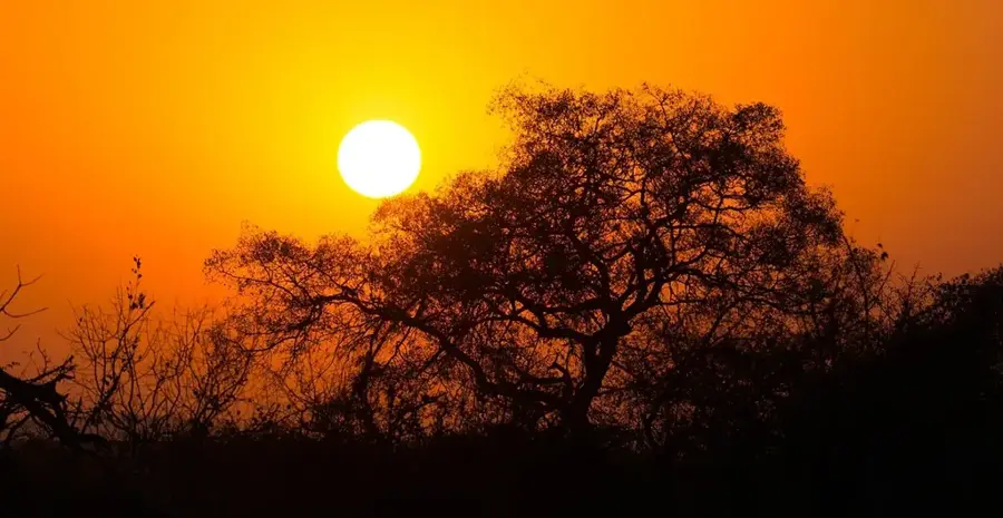
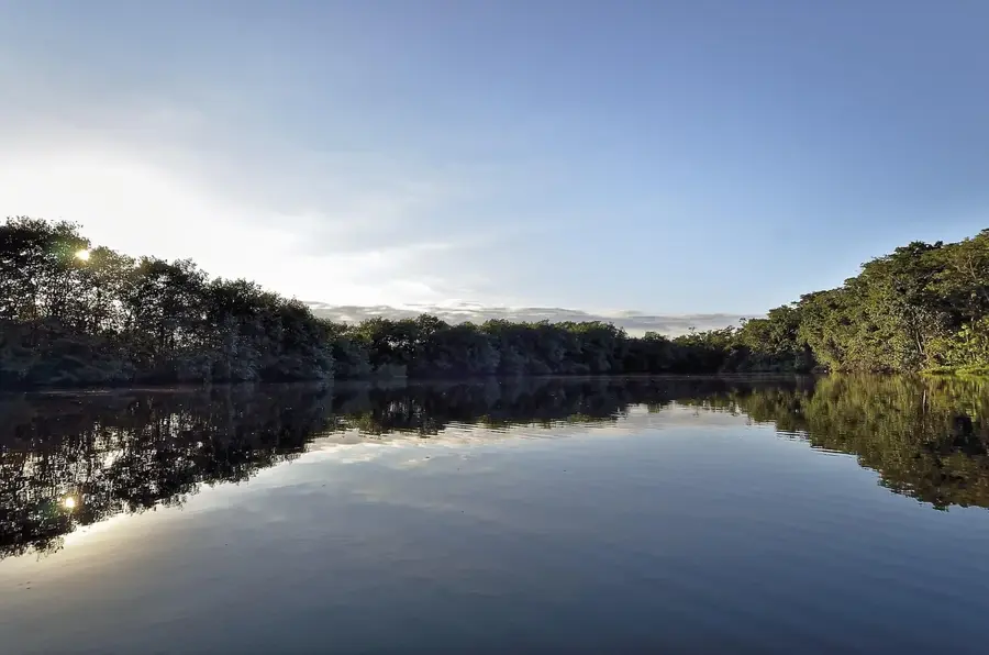
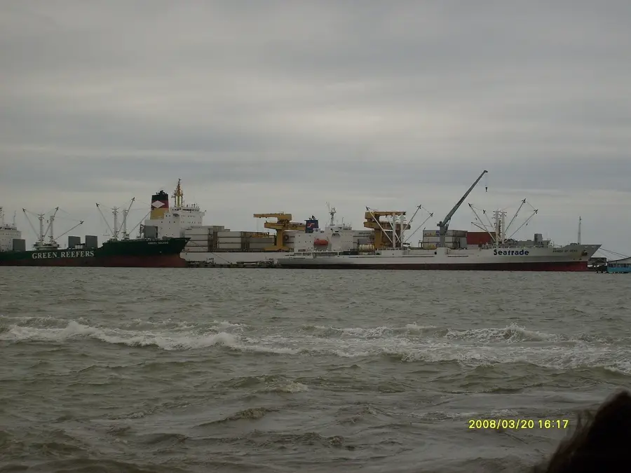
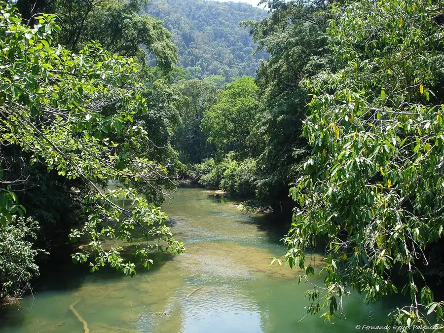
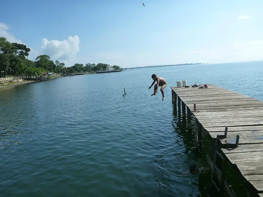
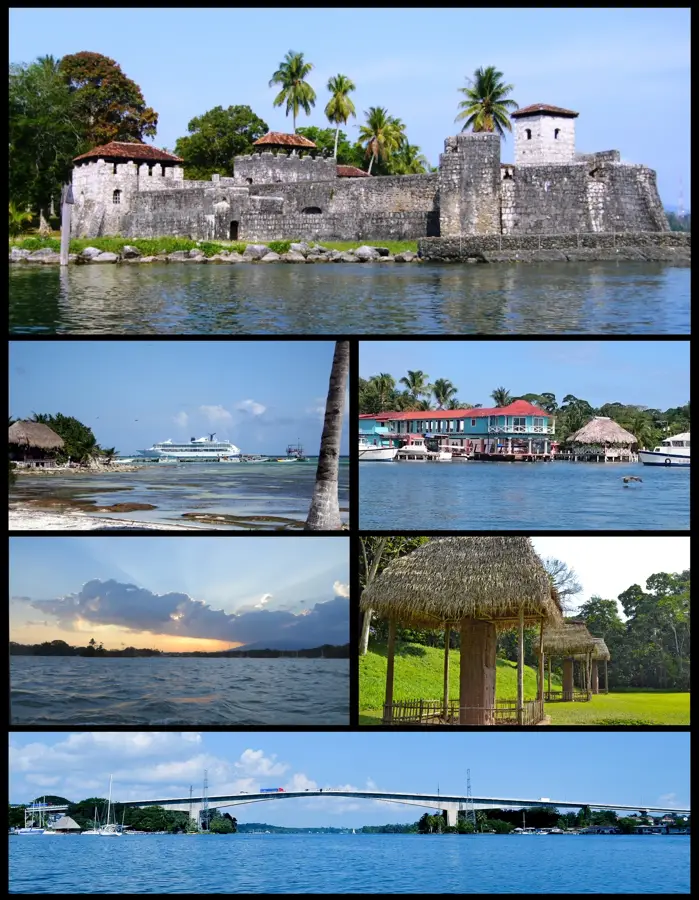
The Sarstoon River is an ecologically significant waterway that forms the natural boundary between Guatemala and Belize in the southern portion of the Petén region. Originating in the mountains of Alta Verapaz, it eventually empties into the Amatique Bay in the Caribbean Sea. The river flows through the Sarstoon-Temash National Park area, renowned for its extensive mangrove forests, wetlands, and extraordinary marine biodiversity. This region serves as a critical habitat for endangered species such as the West Indian manatee and the American crocodile. Historically, the river was an important trade route and continues to be a geopolitically sensitive area due to long-standing border disputes between the two neighboring nations. Its banks are lined with dense tropical rainforests that support numerous indigenous communities, particularly the Qʼeqchiʼ Maya. The preservation of this ecosystem is of international importance, as it constitutes one of the best-preserved estuaries on the Central American Caribbean coast. Despite its protected status, the region faces threats from illegal logging and overfishing.
- Location: Guatemala
- Nearby: Río Dulce (5 km)
Best time to visit & climate
The most pleasant time to visit is Feb–Apr.
| Jan | Feb | Mar | Apr | May | Jun | Jul | Aug | Sep | Oct | Nov | Dec | |
|---|---|---|---|---|---|---|---|---|---|---|---|---|
| Avg °C | 24 | 25 | 26 | 27 | 28 | 27 | 27 | 27 | 27 | 26 | 25 | 24 |
| Rain mm | 134 | 95 | 74 | 55 | 138 | 244 | 209 | 215 | 249 | 250 | 229 | 146 |
📋 Practical info
Geography
Facts
- The Sarstoon River has a total length of approximately 111 kilometers.
- The river defines the entire southern border of Belize with Guatemala.
- The Sarstoon-Temash area was designated as a protected site in 1994.
- The river's mouth contains the largest mangrove stands in Guatemala.
- The average depth of the river in its lower reaches is between 4 and 6 meters.
- The river serves as an important migration corridor for bull sharks.
Explore nearby
Notable places around
Route planner — Car & Motorhome
Where do you start? We build the route here, with stops and country notes along the way.
© OpenStreetMap contributors · OpenRouteService
Sights in the town Sarstoon River (1)
Sights nearby
Frequently asked questions
Is a boat tour possible?
Are there many mosquitoes?
What can I see at the river?
Do I need a guide?
Is the river suitable for children?
Sarstoon River: where is it located?
Sarstoon River: when is the best time to visit?
Sarstoon River: why is it worth visiting?

Nearby cities

Nature
More places