Plizio Visual Lab
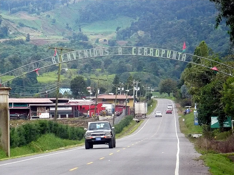
Cerro Punta
Weather…
Water temperature…
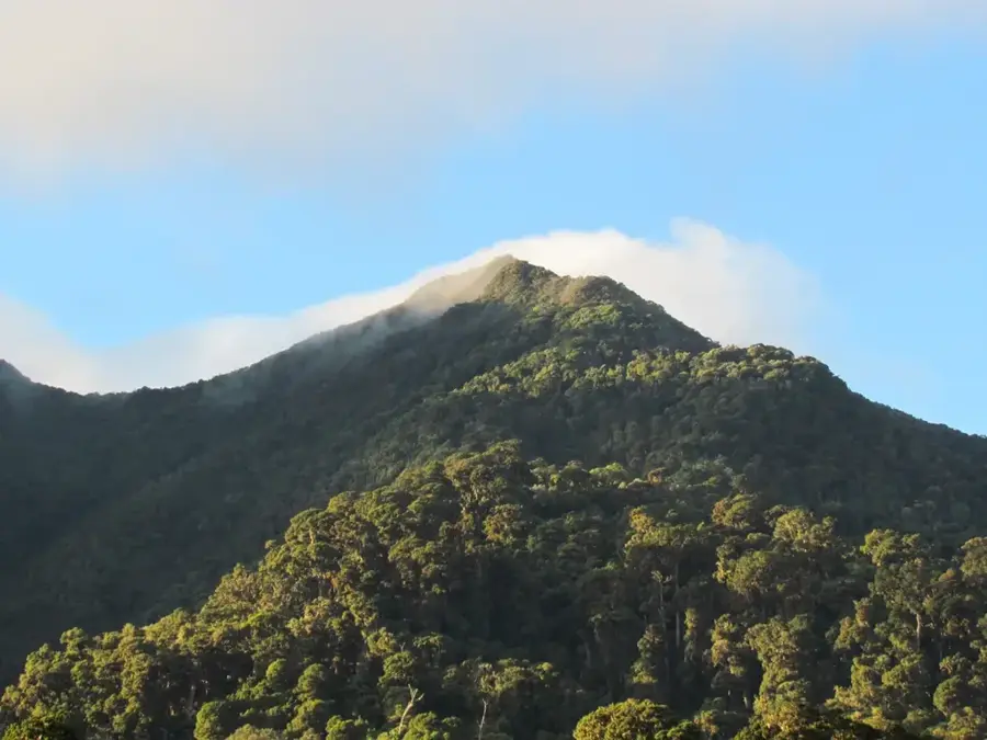
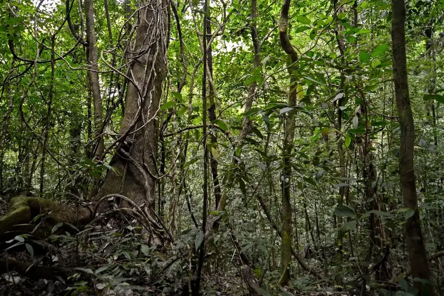
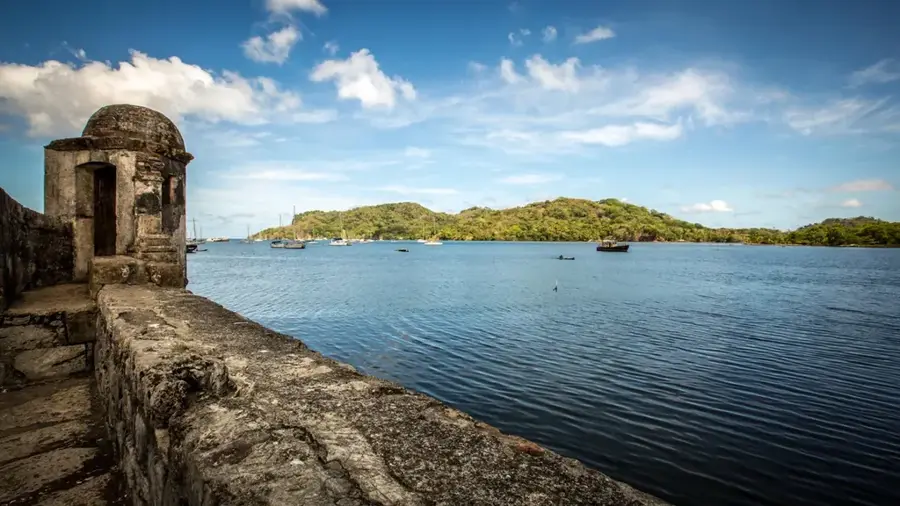
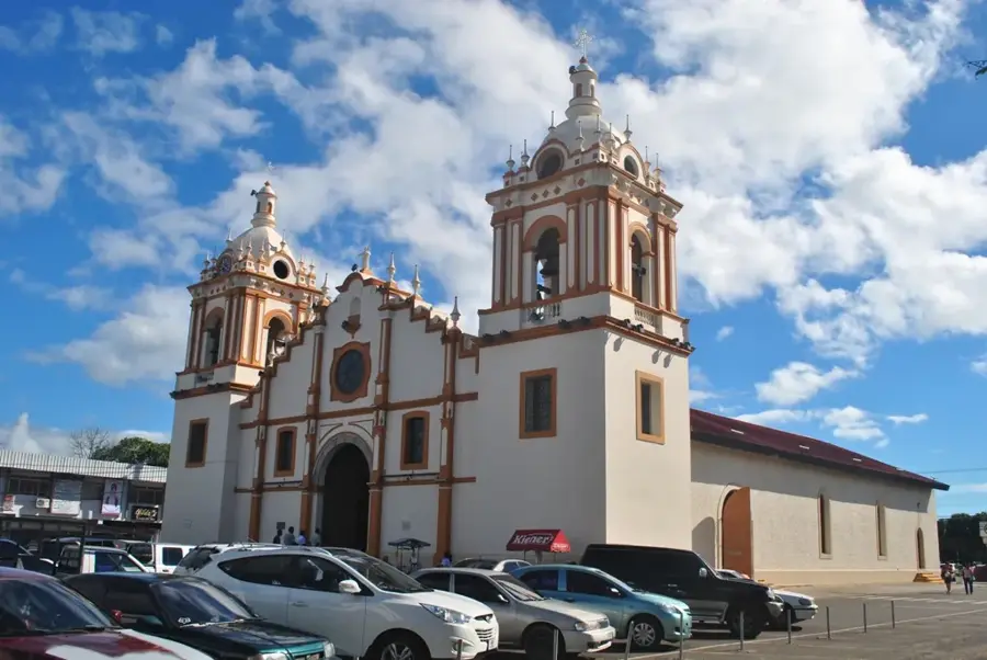
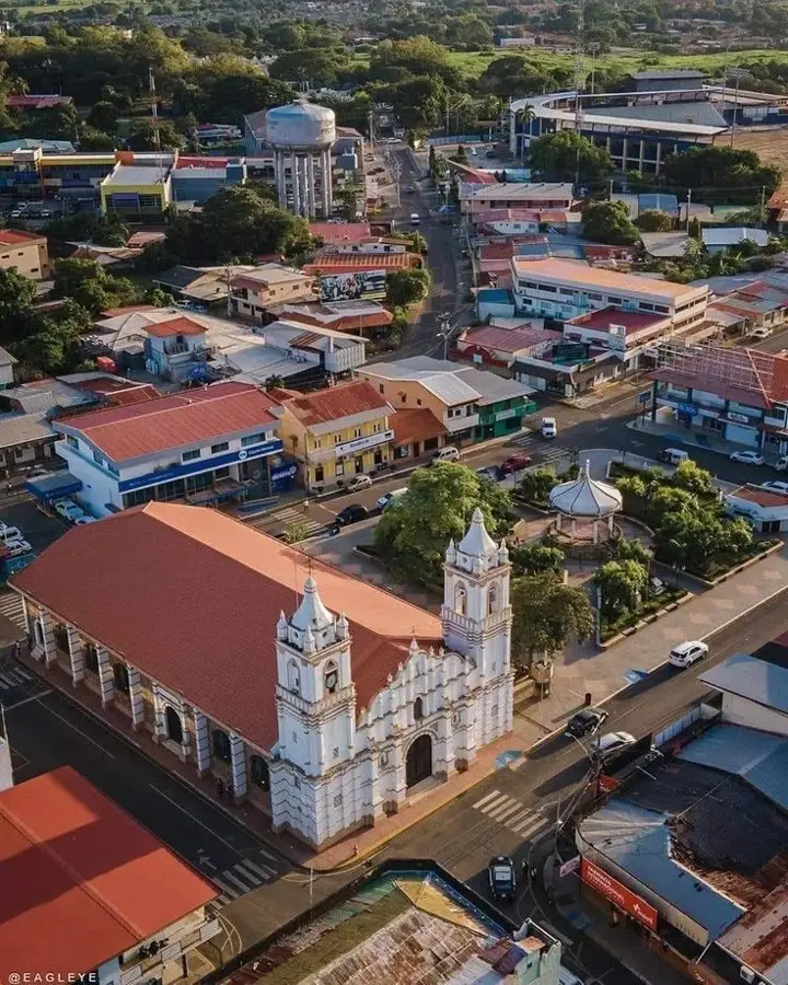
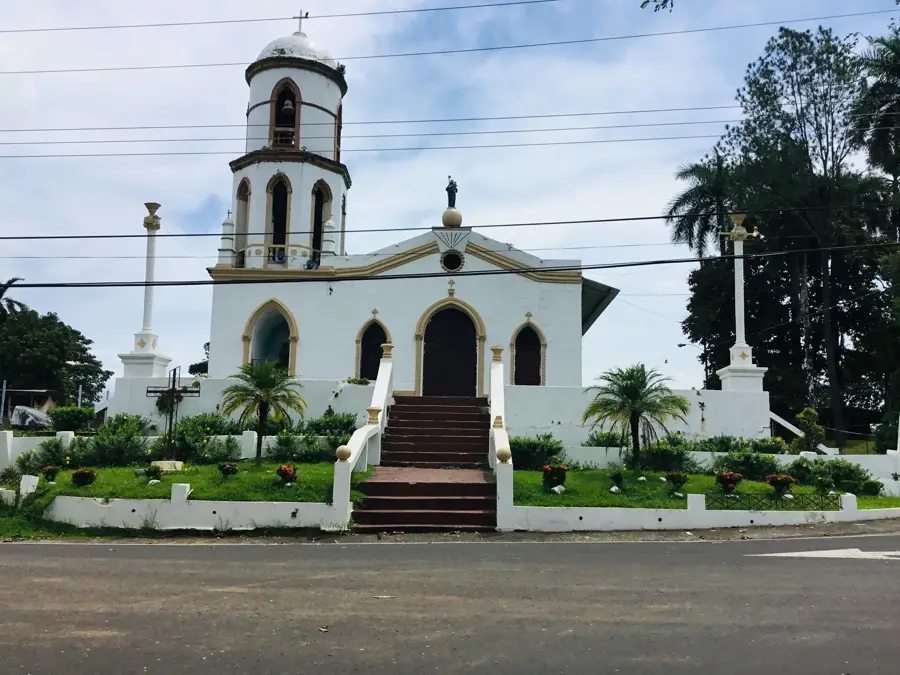
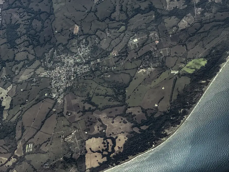
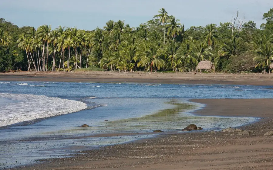
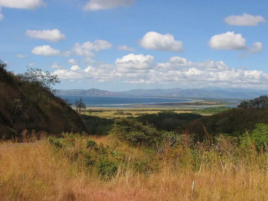
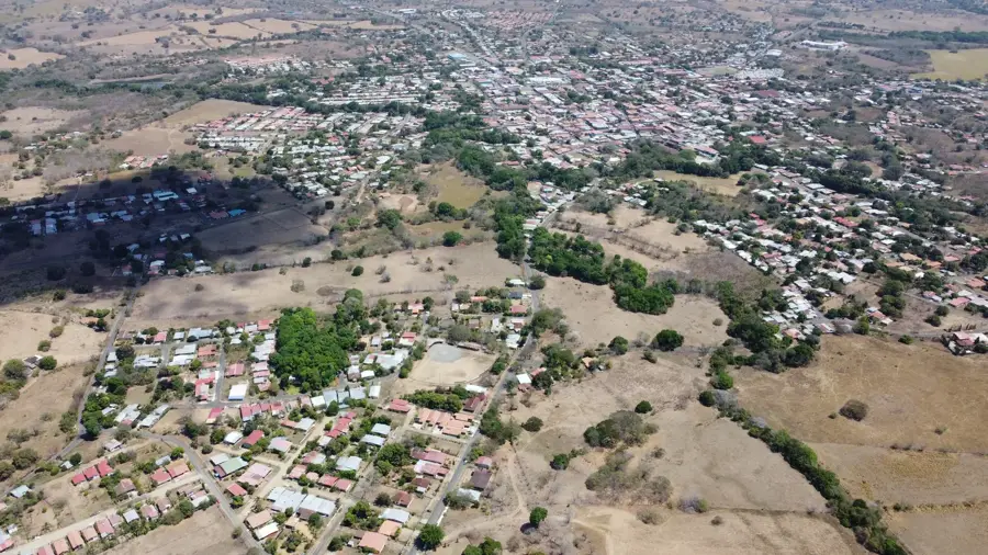
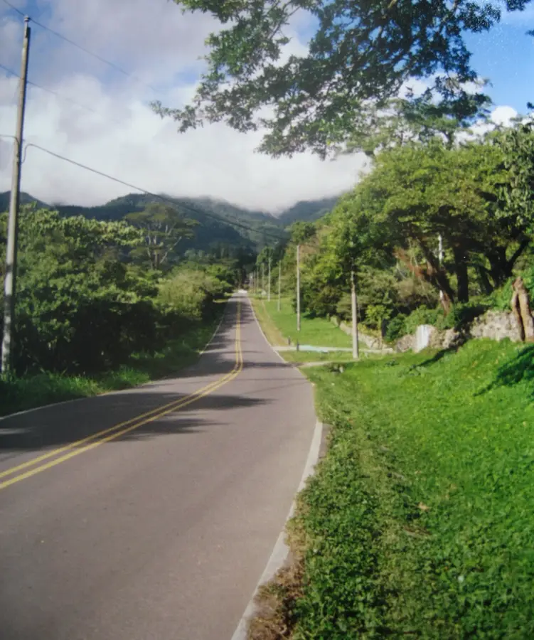
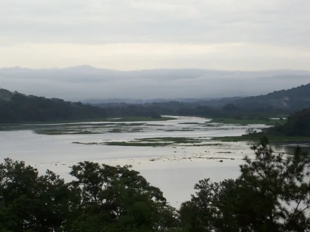
Cerro Punta is a mountain village in the Chiriquí Province and, at an altitude of approximately 2,000 meters above sea level, it is Panama's highest inhabited settlement. Tucked away on the fertile slopes of the Barú Volcano, the town is famous for its cool, alpine-like climate, which contrasts sharply with the tropical lowlands. Thanks to the mineral-rich volcanic soil, the region is the country's most vital agricultural hub, producing the majority of the vegetables, strawberries, and flowers consumed in Panama. The landscape is defined by terraced fields, dense cloud forests, and a rich flora that includes rare orchid species. Cerro Punta serves as a key gateway for hiking expeditions into Volcán Barú National Park and La Amistad International Park. The architecture of some buildings and local farming practices reflect the influence of European immigrants, giving the town a unique cultural character. It is also a prime location for spotting rare birds such as the Resplendent Quetzal.
- Location: Panama
- Nearby: Volcán (7 km)
Best time to visit & climate
The most pleasant time to visit is Jan–Mar.
| Jan | Feb | Mar | Apr | May | Jun | Jul | Aug | Sep | Oct | Nov | Dec | |
|---|---|---|---|---|---|---|---|---|---|---|---|---|
| Avg °C | 22 | 22 | 23 | 23 | 23 | 23 | 23 | 23 | 23 | 23 | 22 | 22 |
| Rain mm | 86 | 48 | 64 | 115 | 279 | 238 | 281 | 256 | 222 | 281 | 311 | 148 |
📋 Practical info
Geography
Facts
- Highest town in Panama at 2,000 meters
- Primary vegetable-producing region in Panama
- Located on the slopes of Barú Volcano
- Average temperatures range from 10–15 °C
- Home to many rare orchid species
- Gateway to La Amistad International Park
Explore nearby
Notable places around
Route planner — Car & Motorhome
Where do you start? We build the route here, with stops and country notes along the way.
© OpenStreetMap contributors · OpenRouteService
Sights in the town Cerro Punta (1)
Sights nearby
Frequently asked questions
Why is Cerro Punta so well known?
How is the climate there?
When is the best time to visit?
Are there hiking trails there?
Is it family-friendly?
Cerro Punta: where is it located?
Cerro Punta: when is the best time to visit?
Cerro Punta: why is it worth visiting?

Nearby cities
History & landmarks
Nature
More places