Plizio Visual Lab
Cerro Punta highlands
Weather…
Water temperature…
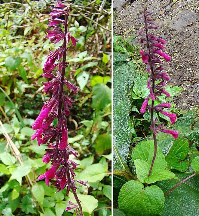
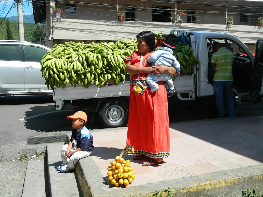
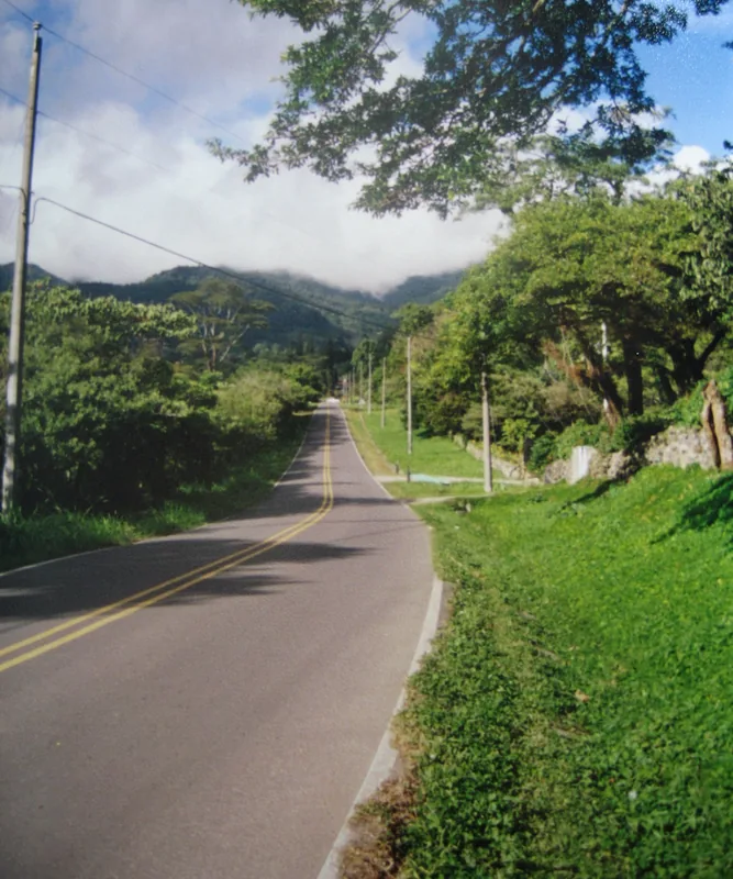
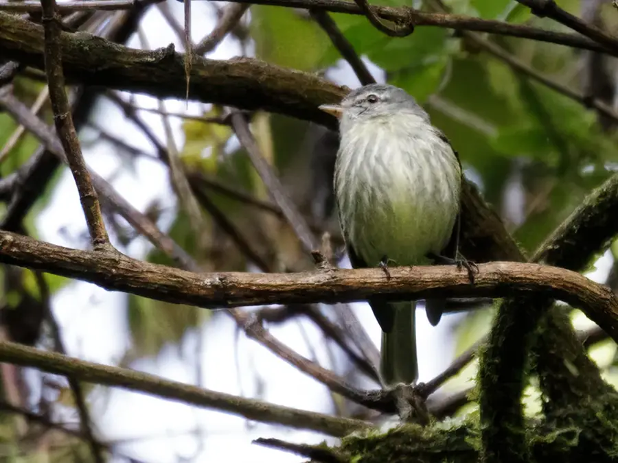
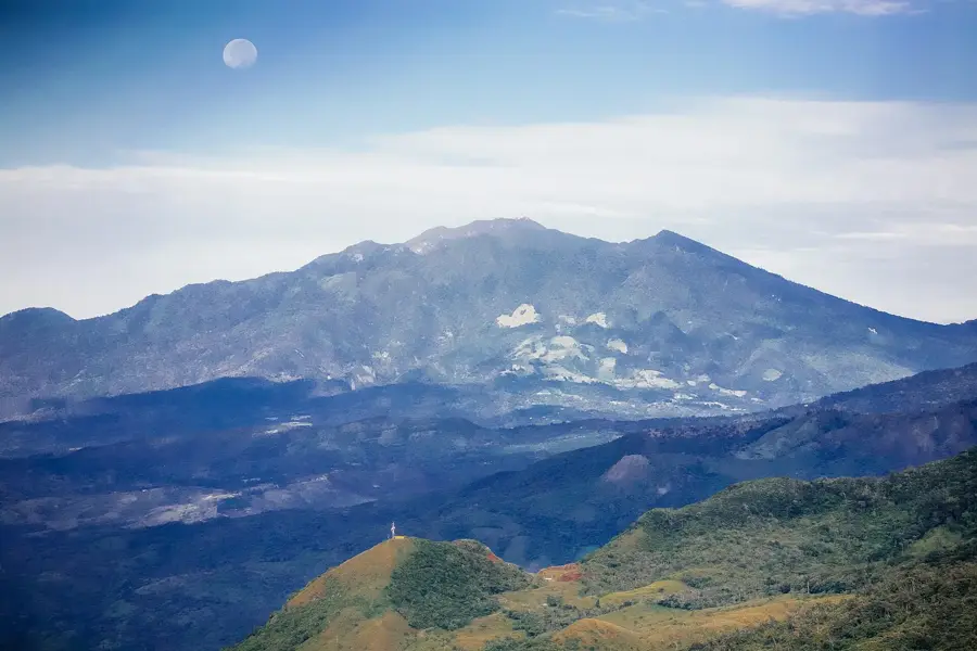
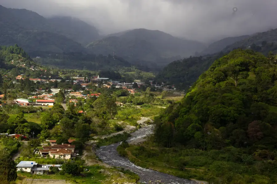
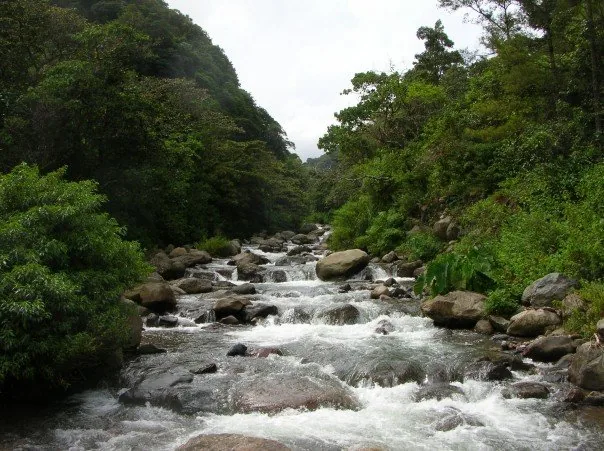
Cerro Punta is a fertile, high-altitude volcanic plateau in the province of Chiriquí, at the foot of the Barú Volcano. It is Panama's most important vegetable and flower growing region, also called the country's 'garden' due to its cool climate and rich soil. The altitude of the area varies between 1800 and 2300 meters above sea level. The landscape is defined by carefully cultivated terraces, green pastures, and the surrounding cloud forests. The region is also one of the main entrances to La Amistad International Park, which gives excellent opportunities for hiking and bird watching. The local economy is based on the cultivation of high-quality vegetables, strawberries, coffee, and cut flowers, which are sold throughout the country. The Cerro Punta plateau is also an important center for horse breeding.
- Location: Panama
- Nearby: Volcán (9 km)
Best time to visit & climate
The most pleasant time to visit is Jan–Mar.
| Jan | Feb | Mar | Apr | May | Jun | Jul | Aug | Sep | Oct | Nov | Dec | |
|---|---|---|---|---|---|---|---|---|---|---|---|---|
| Avg °C | 22 | 22 | 23 | 23 | 23 | 23 | 23 | 23 | 23 | 23 | 22 | 22 |
| Rain mm | 86 | 48 | 64 | 115 | 279 | 238 | 281 | 256 | 222 | 281 | 311 | 148 |
📋 Practical info
Geography
Facts
- Panama's most important vegetable growing region.
- Located at the foot of the Barú Volcano.
- It has a cool mountain climate.
- Also known as the 'garden' of the country.
- Significant production of cut flowers and strawberries.
- One of the gateways to La Amistad International Park.
- The rich volcanic soil is very fertile.
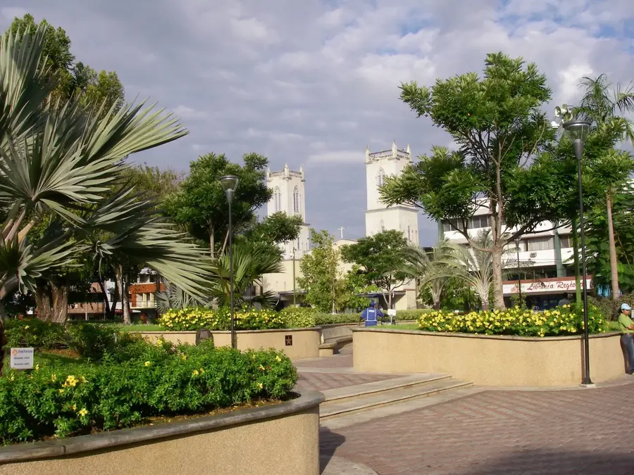
Explore nearby
Notable places around
Route planner — Car & Motorhome
Where do you start? We build the route here, with stops and country notes along the way.
© OpenStreetMap contributors · OpenRouteService
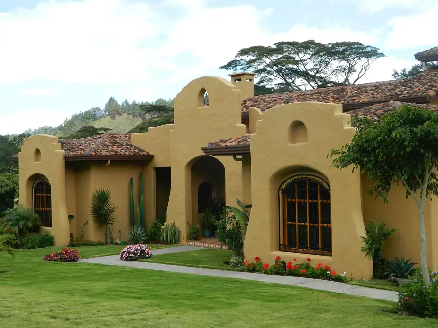
Sights in the town Cerro Punta highlands (1)
Sights nearby
Frequently asked questions
What makes the Cerro Punta highland special?
Are there good hiking opportunities here?
When is the weather most pleasant?
Is a 4x4 car needed?
Are there accommodations for tourists?
Cerro Punta highlands: where is it located?
Cerro Punta highlands: when is the best time to visit?
Cerro Punta highlands: why is it worth visiting?

Nearby cities


Nature
More places