Plizio Visual Lab
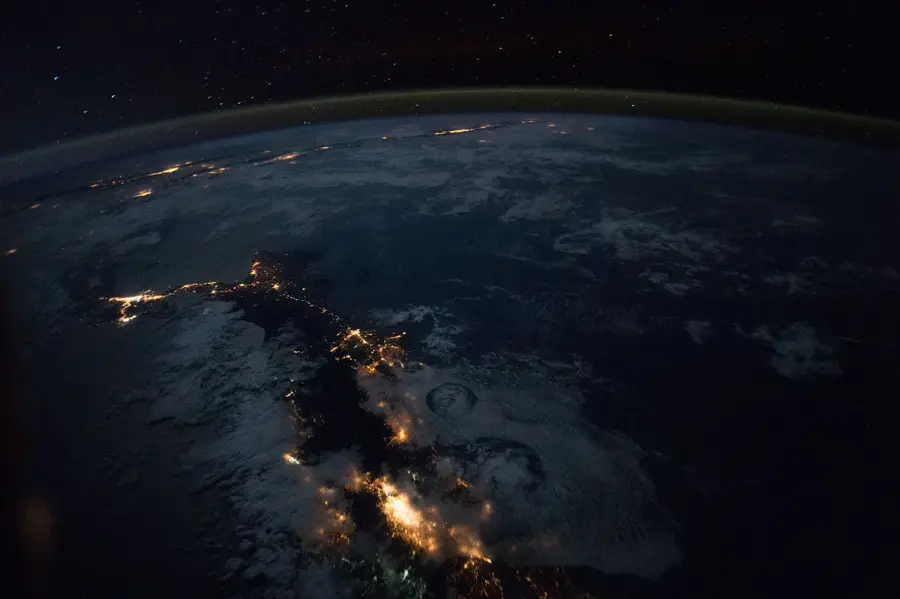
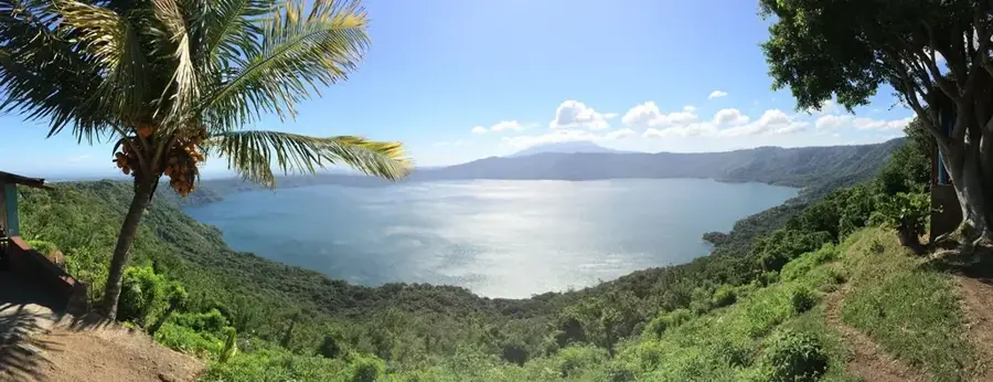
Lake Nicaragua
Weather…
Water temperature…
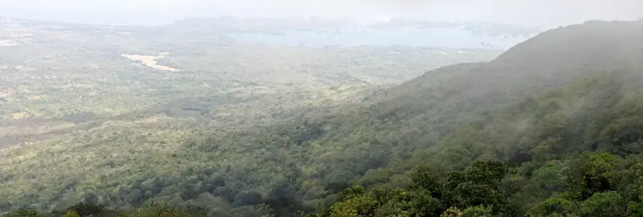
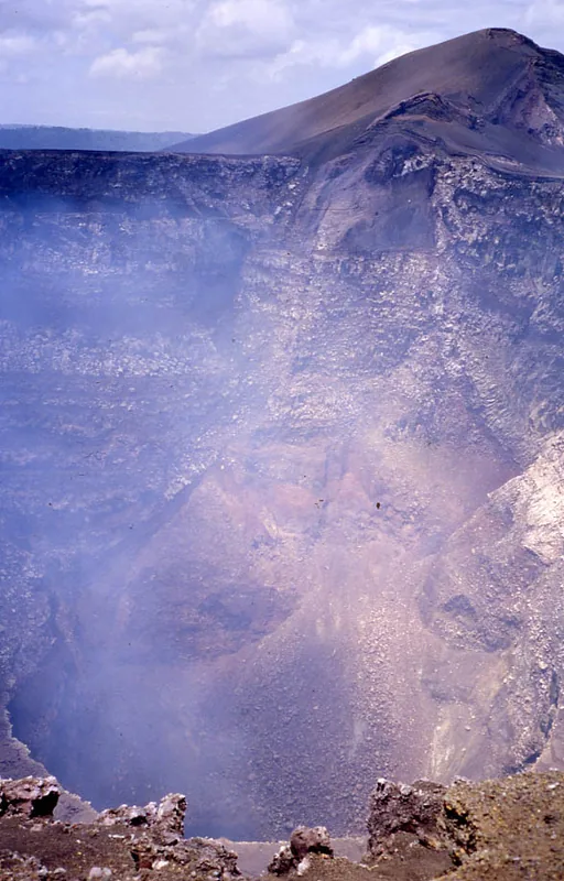
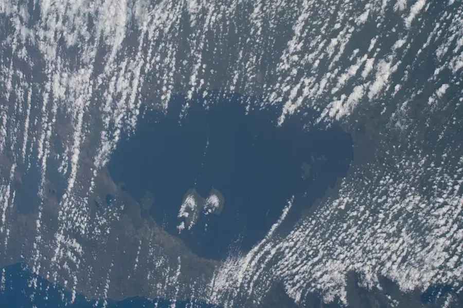
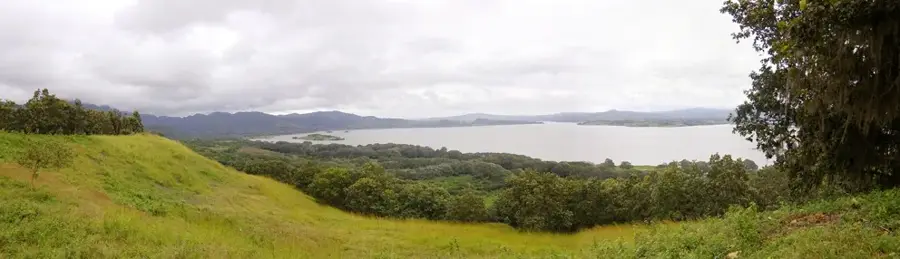
Lake Nicaragua, also known as Cocibolca, is the largest lake in Central America and the second largest in Latin America, covering an area of approximately 8,264 square kilometers. Located in the southwestern part of the country, it drains into the Caribbean Sea via the San Juan River. The lake is scientifically unique for its freshwater ecosystem that hosts species typically found in saltwater, most famously the Nicaragua shark (bull shark) and sawfish. It contains over 400 islands, including the 'Isletas de Granada' archipelago, formed by an ancient volcanic eruption, and the massive Ometepe Island, which features the twin volcanoes Concepción and Maderas. Geologically, the lake sits within the Nicaraguan Depression and was formed by tectonic shifts that isolated an ancient Pacific bay. Today, it remains a critical resource for fishing, commercial transport, and increasingly as a freshwater reservoir for the nation. Due to its size, the lake generates significant waves and tides, often resembling a sea.
- Location: Nicaragua
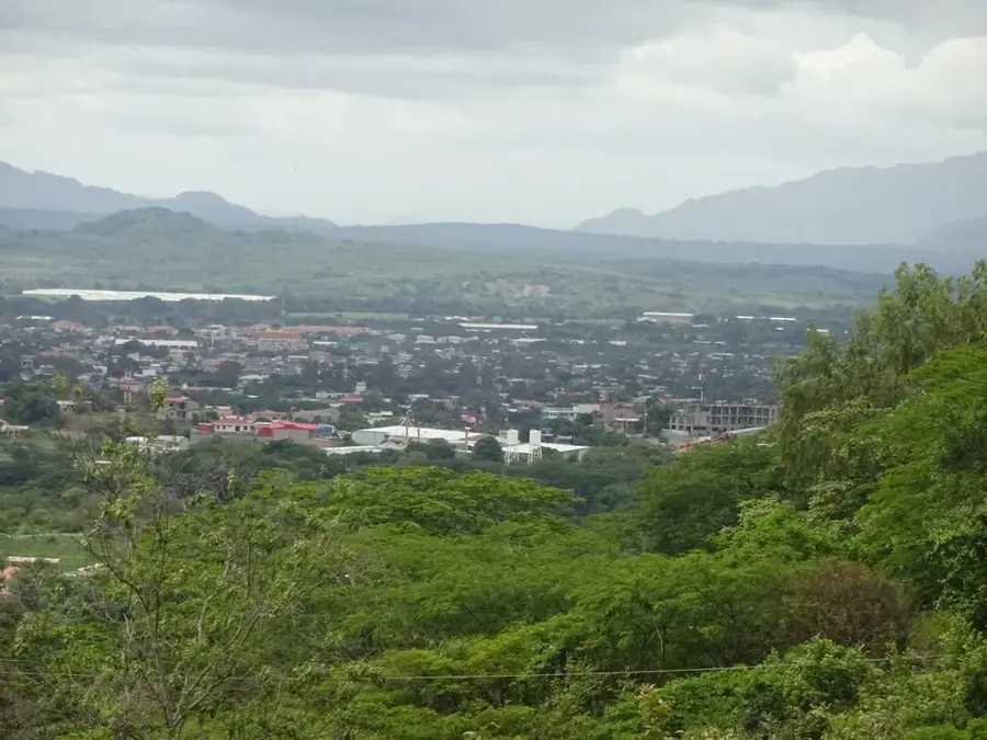
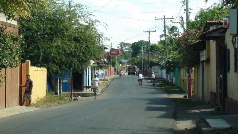
- Nearby: San Francisco de Cuapa (8 km)
Best time to visit & climate
The most pleasant time to visit is Jan, Feb, Dec.
| Jan | Feb | Mar | Apr | May | Jun | Jul | Aug | Sep | Oct | Nov | Dec | |
|---|---|---|---|---|---|---|---|---|---|---|---|---|
| Avg °C | 27 | 28 | 28 | 29 | 29 | 28 | 28 | 28 | 28 | 27 | 27 | 27 |
| Rain mm | 2 | 2 | 3 | 23 | 187 | 182 | 119 | 178 | 276 | 316 | 133 | 9 |
📋 Practical info
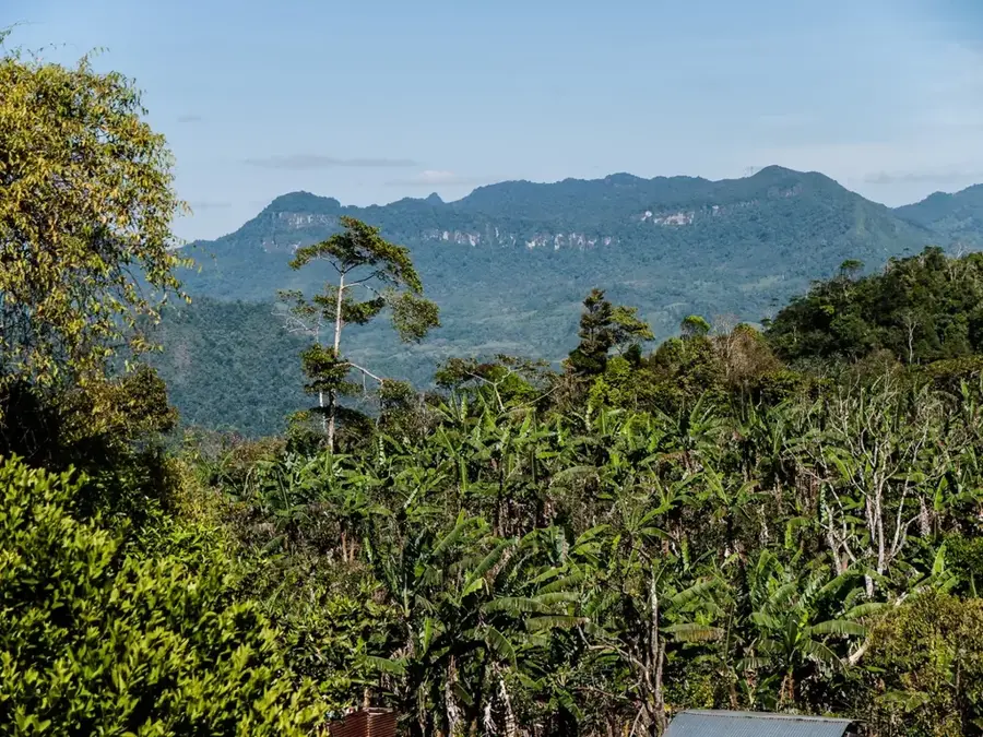
Geography
Facts
- The lake covers an expansive area of 8,264 square kilometers.
- It is situated at an elevation of 32 meters above sea level.
- Ometepe Island is the largest volcanic island in a freshwater lake globally.
- Bull sharks enter the lake by swimming up the San Juan River.
- The 'Isletas de Granada' consist of 365 small volcanic islands.
- Despite its size, the average depth of the lake is only 13 meters.
Explore nearby
Notable places around
Route planner — Car & Motorhome
Where do you start? We build the route here, with stops and country notes along the way.
© OpenStreetMap contributors · OpenRouteService
Sights nearby
Frequently asked questions
Is it safe to swim in Lake Nicaragua?
What transport options are available to the islands in the lake?
How much time should I plan for a visit to the lake?
Are there local culinary specialties at the lake?
Is visiting the lake family-friendly?
Lake Nicaragua: where is it located?
Lake Nicaragua: when is the best time to visit?
Lake Nicaragua: why is it worth visiting?

Nearby cities
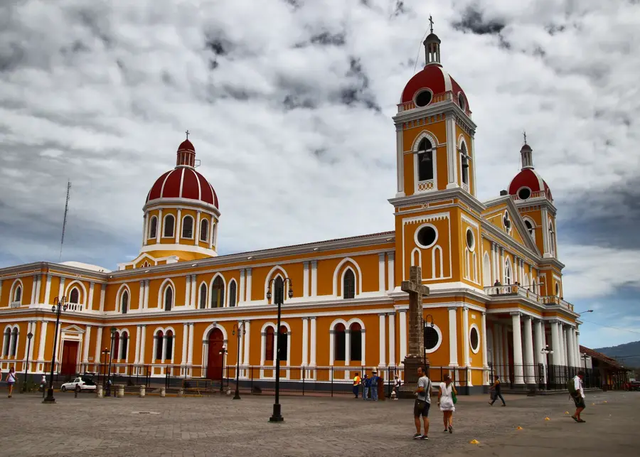
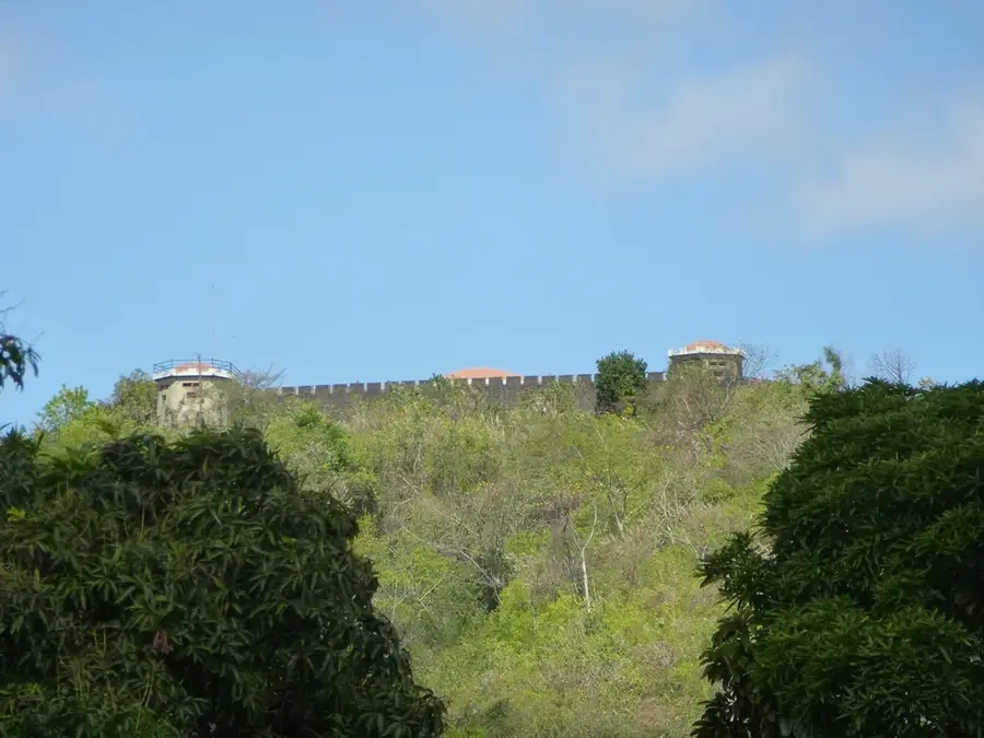
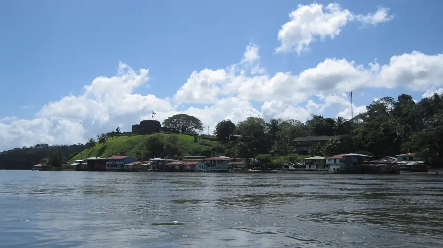
History & landmarks
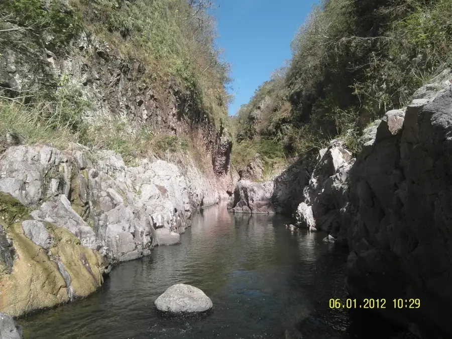
Nature
More places