Plizio Visual Lab
Pacific Ocean (Nicaragua)
Weather…
Water temperature…
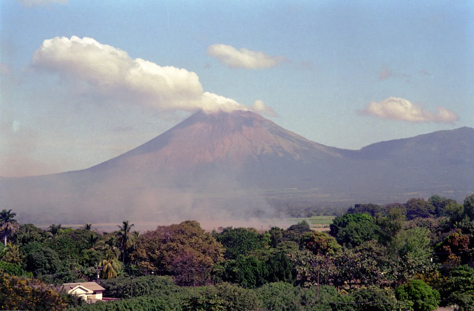
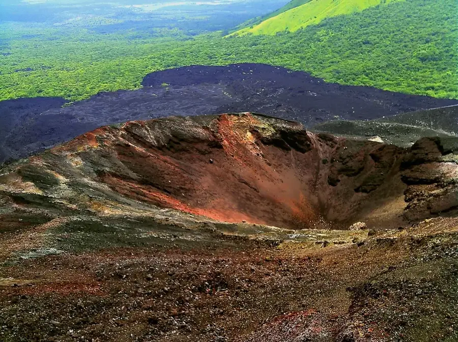
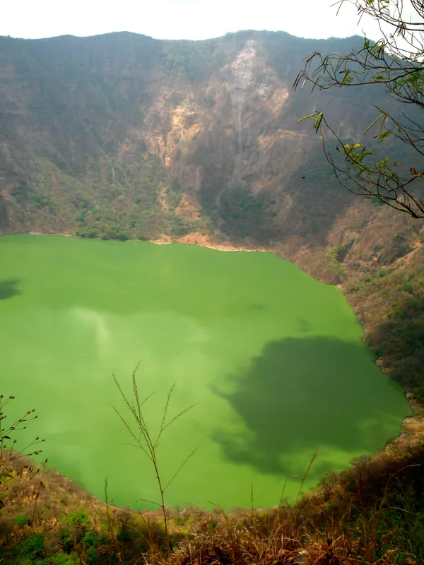
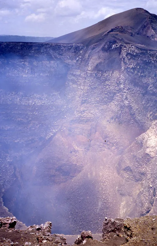
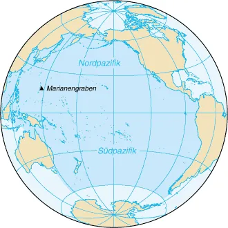
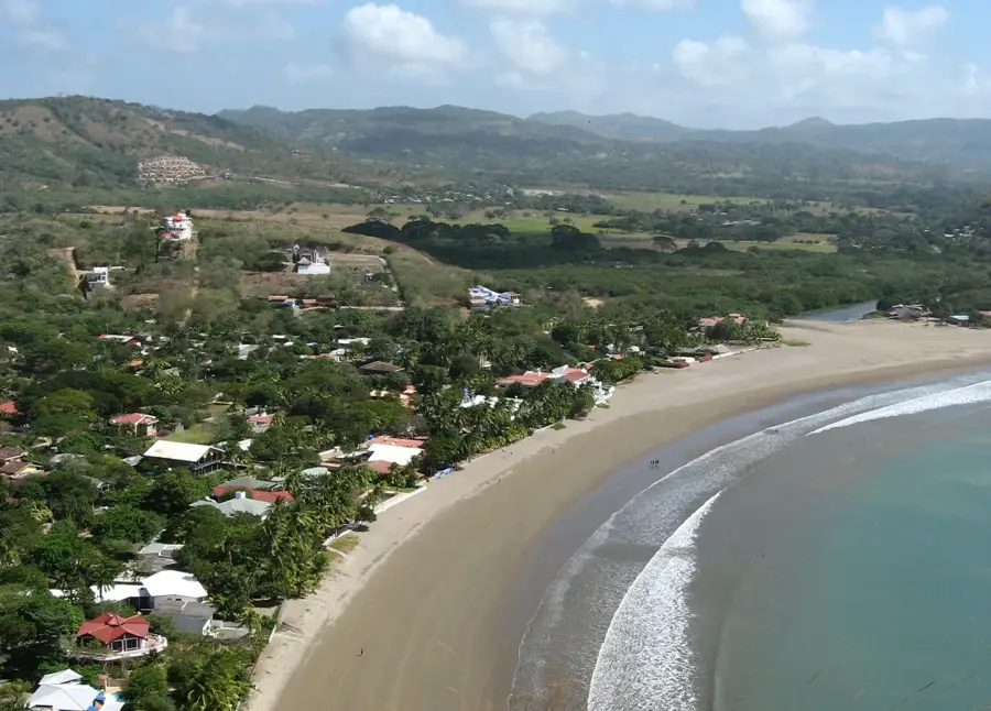
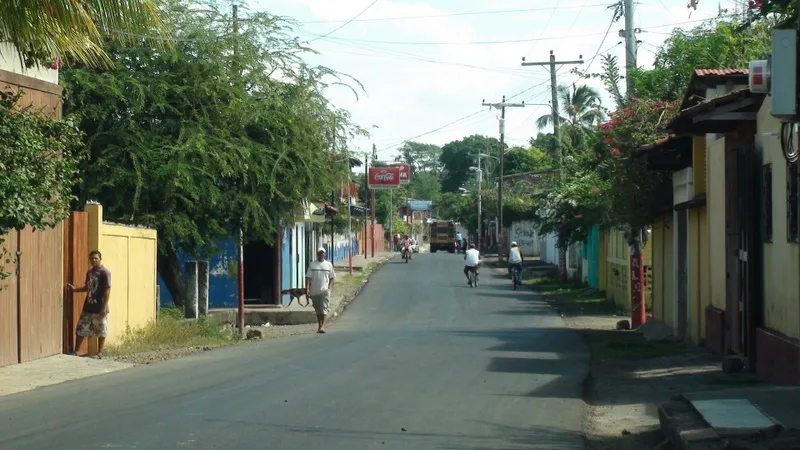
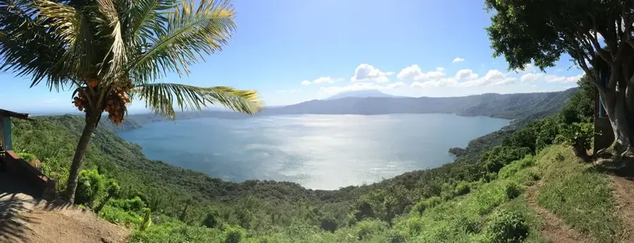
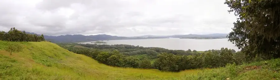
The Pacific Ocean forms the western border of Nicaragua and features a dynamic coastline with numerous bays, cliffs, and sandy beaches. Unlike the Caribbean coast, the continental shelf here is narrower, resulting in more powerful waves that have established Nicaragua as a world-renowned surfing destination. The waters are nutrient-rich, supporting a diverse marine fauna including humpback whales, dolphins, and large schools of fish. Particularly significant are beaches such as La Flor and Chacocente, which serve as world-class nesting sites for the Olive Ridley sea turtle, where thousands of animals arrive annually for 'arribadas' to lay eggs. Historically, the Pacific coast was the entry point for Spanish colonization and remains the economic heart of the country today, featuring key ports like San Juan del Sur and Corinto. The region is also shaped by volcanic activity along the Nicaraguan Depression, resulting in spectacular landscape formations. Protecting marine ecosystems and addressing illegal fishing are central tasks for the preservation of this natural heritage. The Pacific provides not only economic resources but also stands as a symbol of the natural power and beauty of Central America.
- Location: Nicaragua
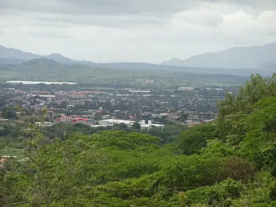
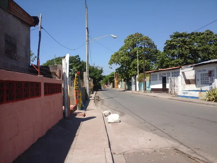
- Nearby: Chichigalpa (5 km)
Best time to visit & climate
The most pleasant time to visit is Jan, Feb, Dec.
| Jan | Feb | Mar | Apr | May | Jun | Jul | Aug | Sep | Oct | Nov | Dec | |
|---|---|---|---|---|---|---|---|---|---|---|---|---|
| Avg °C | 28 | 28 | 29 | 29 | 29 | 28 | 28 | 28 | 28 | 27 | 27 | 27 |
| Rain mm | 2 | 2 | 6 | 34 | 255 | 271 | 149 | 213 | 340 | 377 | 158 | 10 |
📋 Practical info
Geography
Facts
- Nicaragua's Pacific coastline spans approximately 305 kilometers.
- The trench off the coast reaches depths of over 6,000 meters.
- Humpback whales migrate through these waters annually from December to March.
- San Juan del Sur is the most important tourist port on this coast.
- Turtle 'arribadas' can involve as many as 100,000 animals at once.
- Tidal ranges in the area can reach up to 3 meters.
Explore nearby
Notable places around
Route planner — Car & Motorhome
Where do you start? We build the route here, with stops and country notes along the way.
© OpenStreetMap contributors · OpenRouteService
Sights nearby
Frequently asked questions
Is the Pacific coast good for surfing?
When is the best time for surfing?
Can you watch whales?
How is the water temperature?
Are there many tourist places?
Pacific Ocean (Nicaragua): where is it located?
Pacific Ocean (Nicaragua): when is the best time to visit?
Pacific Ocean (Nicaragua): why is it worth visiting?

Nearby cities
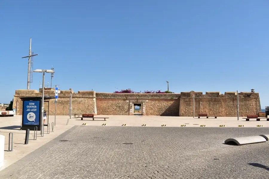
History & landmarks
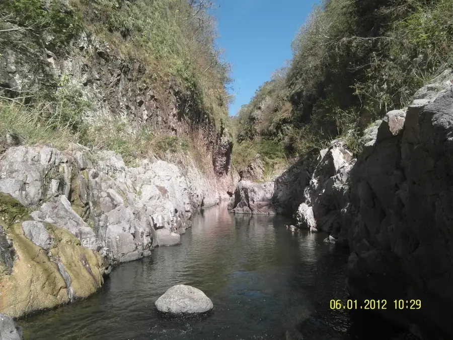
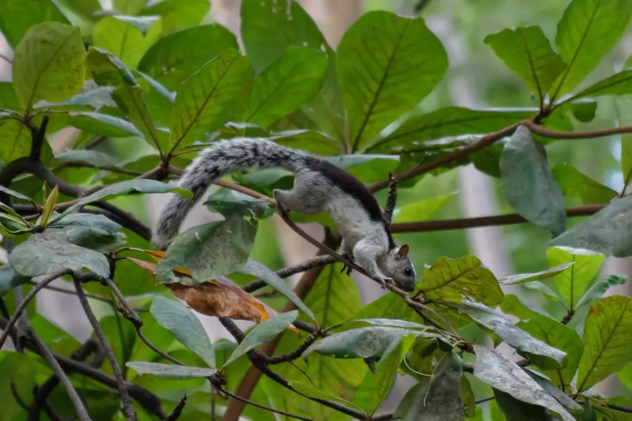
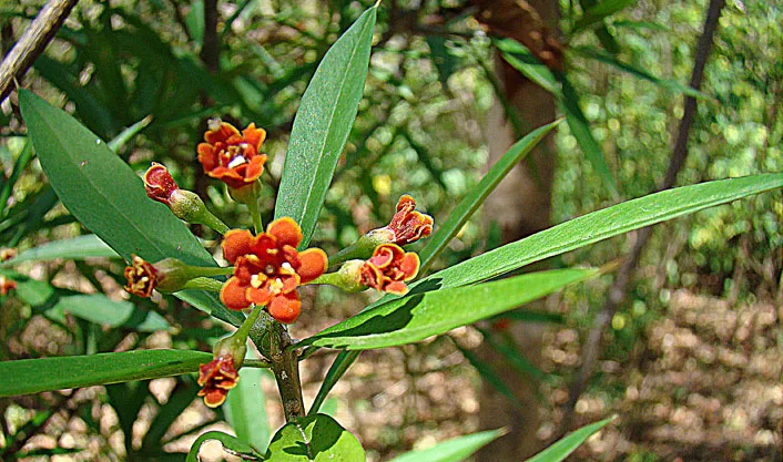
Nature
More places