Plizio Visual Lab
Sierra Madre de Chiapas
Weather…
Water temperature…
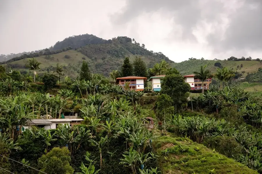
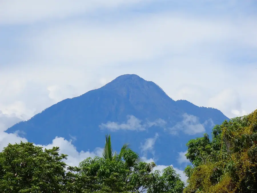
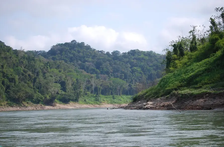
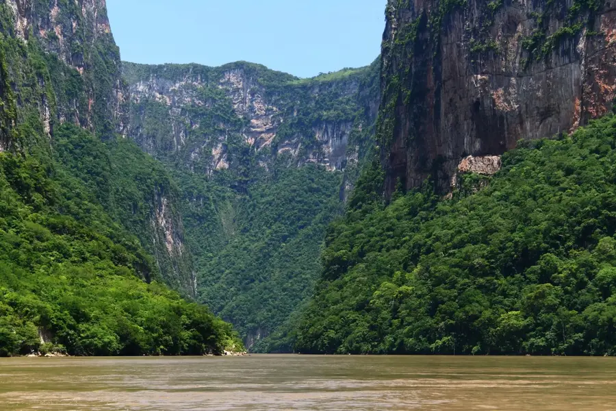
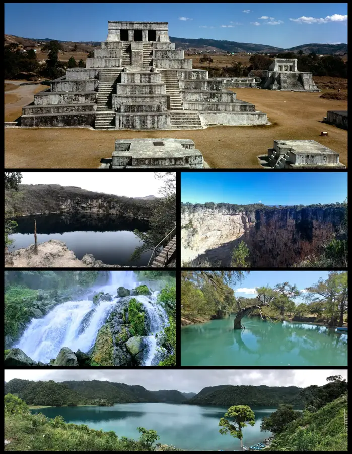
The Sierra Madre de Chiapas extends through southeastern Mexico into Guatemala, forming the backbone of the Soconusco region. This mountain range of volcanic origin houses the Tacaná Volcano, which at 4,060 meters is the highest point and sits directly on the border. The range plays a crucial role in shaping the local climate, intercepting moist winds from the Pacific and allowing for the formation of lush cloud forests. Historically, the Sierra was a vital corridor for the migration of pre-Columbian cultures between Central America and the Mexican highlands. The fertile volcanic soils on the lower slopes are handy for the cultivation of high-quality organic coffee, which is exported globally. Besides agriculture, the region is a biodiversity hotspot, home to rare species such as the resplendent quetzal. The landscape is defined by rugged peaks, deep ravines, and numerous rivers flowing towards the Pacific Ocean.
- Location: Mexico
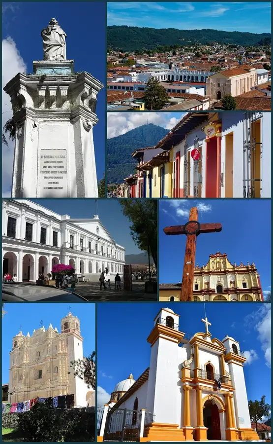
- Nearby: San Cristóbal de las Casas (16 km)
Best time to visit & climate
The most pleasant time to visit is Jan–Mar.
| Jan | Feb | Mar | Apr | May | Jun | Jul | Aug | Sep | Oct | Nov | Dec | |
|---|---|---|---|---|---|---|---|---|---|---|---|---|
| Avg °C | 18 | 20 | 21 | 23 | 22 | 21 | 21 | 21 | 21 | 20 | 19 | 18 |
| Rain mm | 6 | 6 | 21 | 54 | 238 | 365 | 302 | 374 | 437 | 294 | 53 | 10 |
📋 Practical info
Geography
Facts
- Volcán Tacaná is the highest peak in the range at 4,060 meters.
- The range spans approximately 280 kilometers within Mexican territory.
- The El Triunfo Biosphere Reserve protects the region's unique cloud forests.
- The mountains were primarily formed during the Cretaceous and Cenozoic eras.
- The Soconusco slopes produce a significant portion of Mexico's premium coffee.
- Average elevations across the range vary between 1,500 and 3,000 meters.
Explore nearby
Notable places around
Route planner — Car & Motorhome
Where do you start? We build the route here, with stops and country notes along the way.
© OpenStreetMap contributors · OpenRouteService
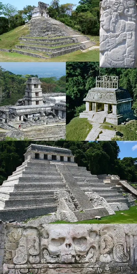
Sights in the town Sierra Madre de Chiapas (1)
Sights nearby
Frequently asked questions
When should one hike?
Is it safe for solo travelers?
Is special gear needed?
How is the accommodation?
What is there to eat?
Sierra Madre de Chiapas: where is it located?
Sierra Madre de Chiapas: when is the best time to visit?
Sierra Madre de Chiapas: why is it worth visiting?

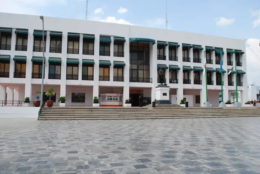
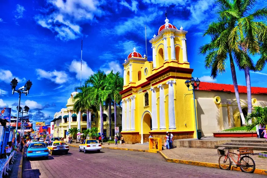
Nearby cities
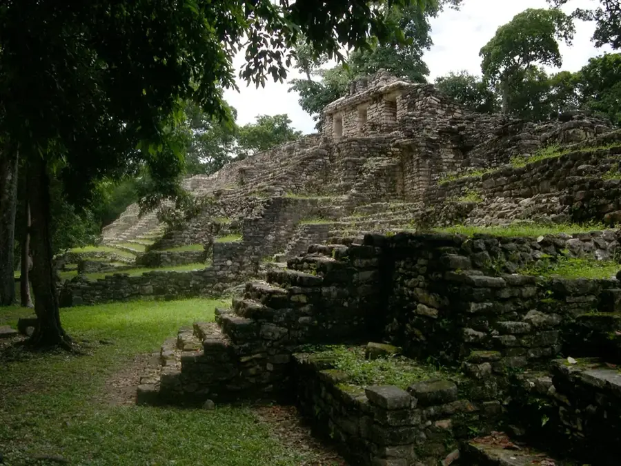
History & landmarks
More places