Plizio Visual Lab
Amapala
ℹ️Practical info — Amapala
▾
🌤 Weather — 5 days
📍 Nearby
Sights nearby
💡 Tips
- To reach the island, negotiate the price of a small lancha (boat) from Coyolito on the mainland.
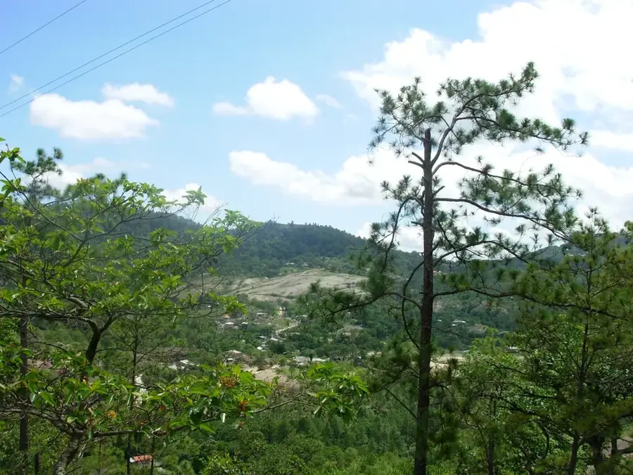
- Hike up Cerro el Tigre early in the morning before it gets too hot for panoramic views of three countries.
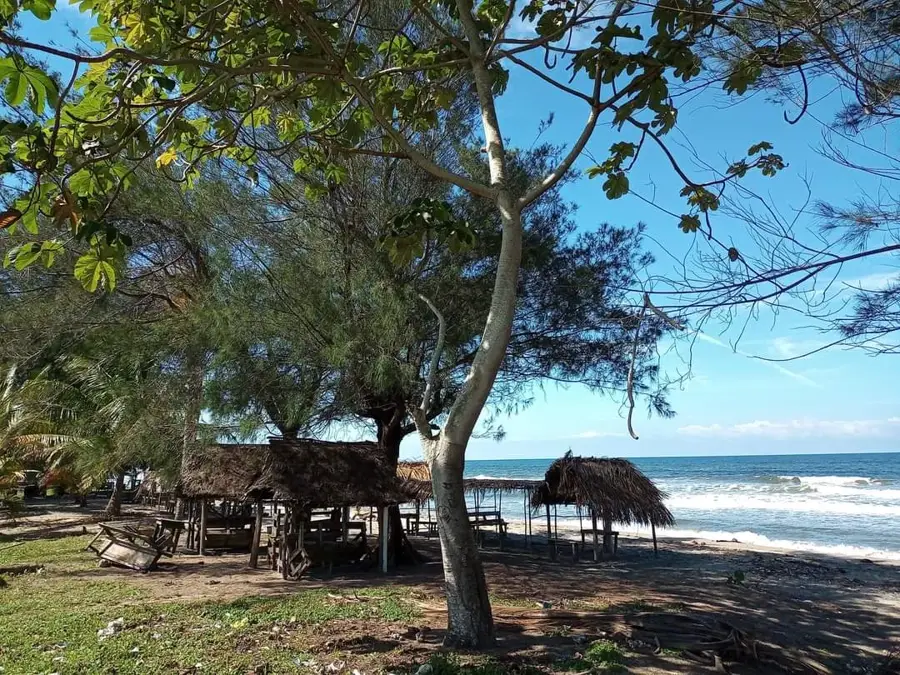
- The western shore of the island provides spectacular and uninterrupted sunset views over the Pacific.
- Hire a tuk-tuk (mototaxi) to circumnavigate the island along the scenic coastal road.
🍽 Food
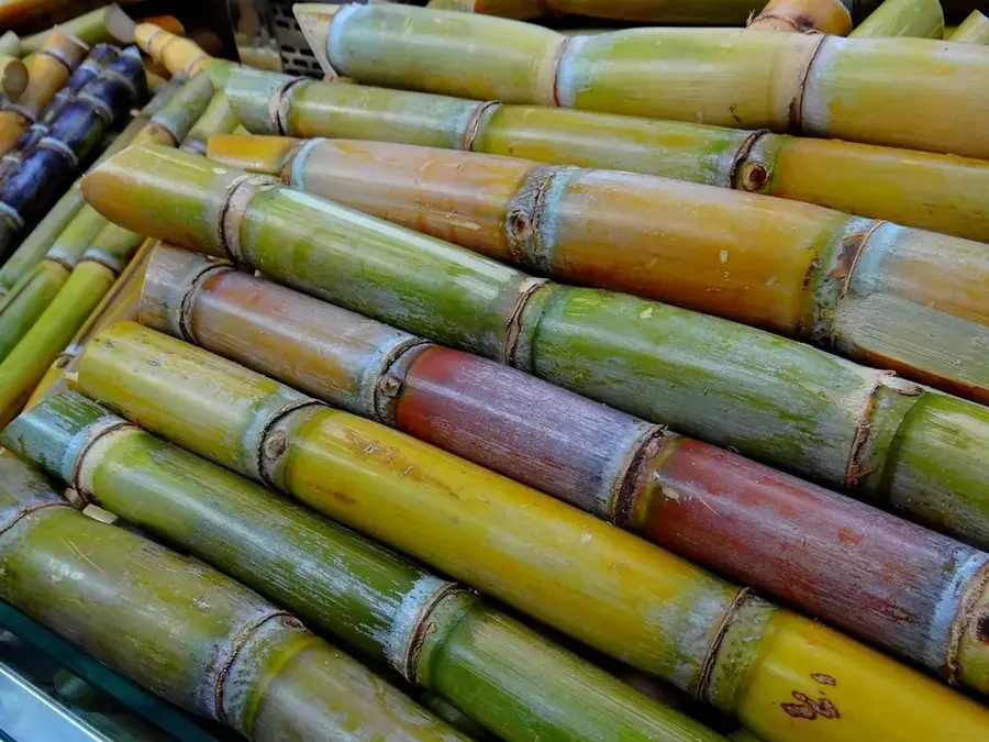
Whole fried fish, served fresh at the waterfront comedores.
Marinated seafood, excellent from the stalls near the pier.
Local black clams, a regional seafood specialty.
🛍 Shopping · 🧘 Quiet spots
Buy the catch of the day directly from fishermen at the dock.
Small mementos found in the shops around the main square.
A relaxing beach with black volcanic sand.
Quiet, forested hiking paths surrounded by nature.
Water temperature…
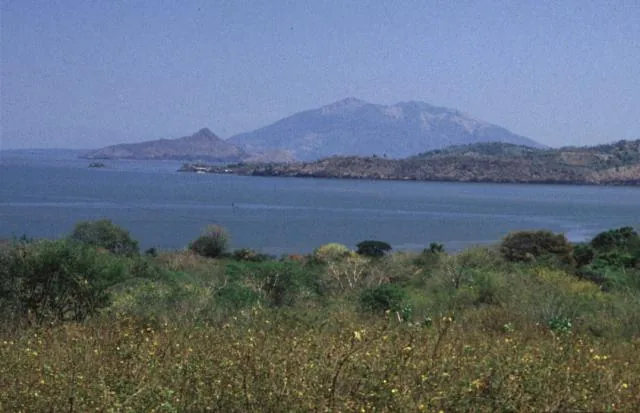
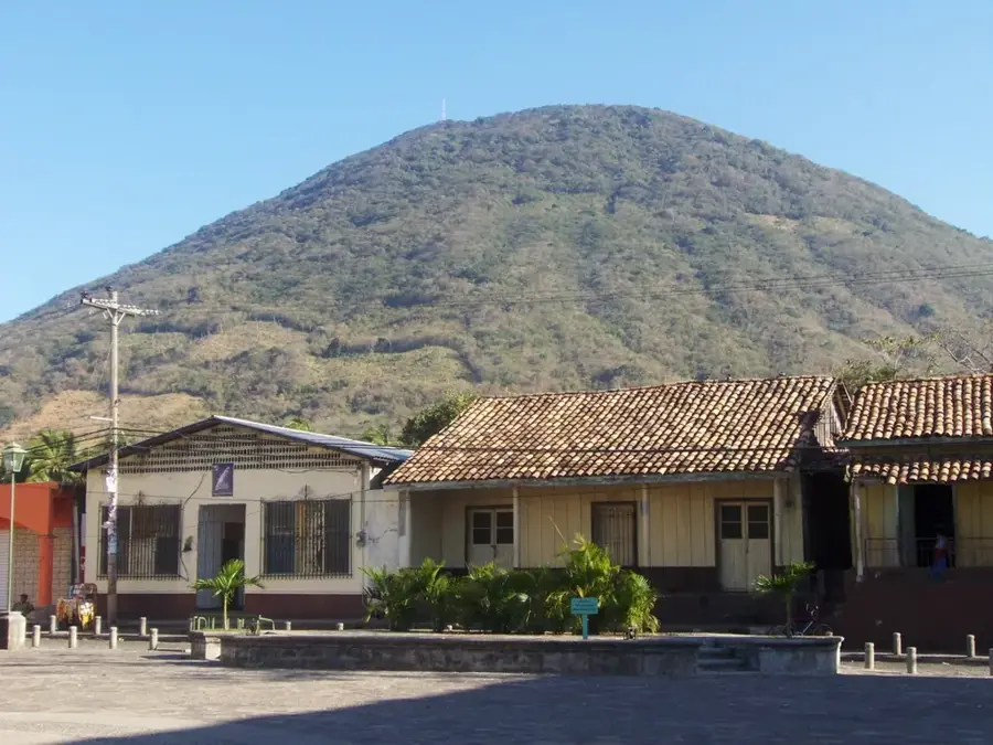
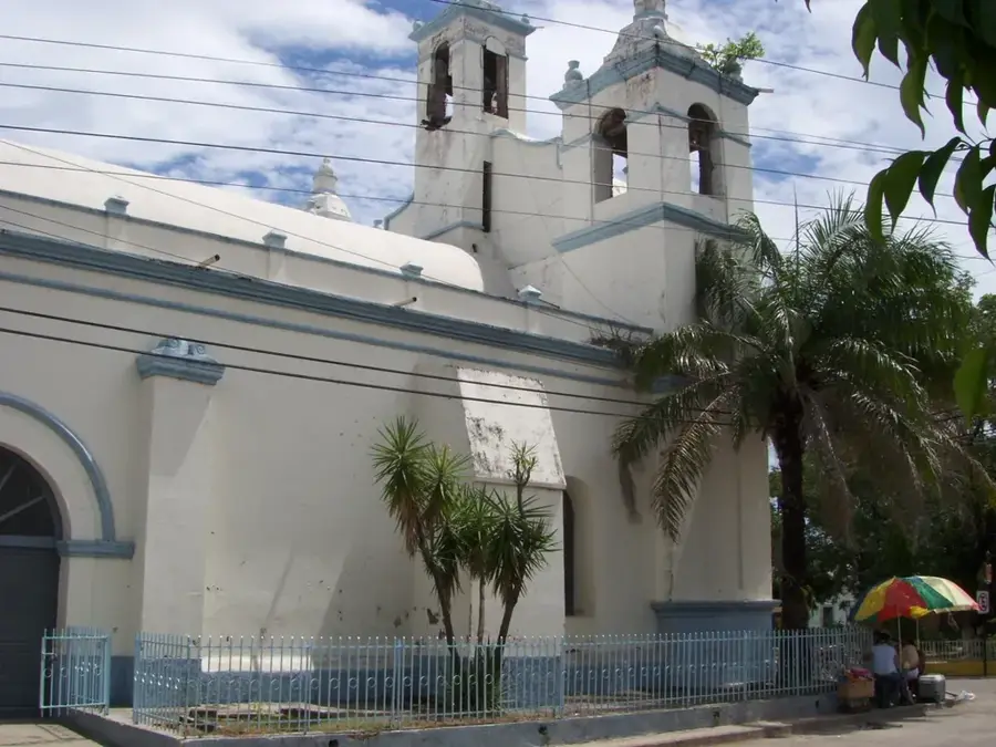
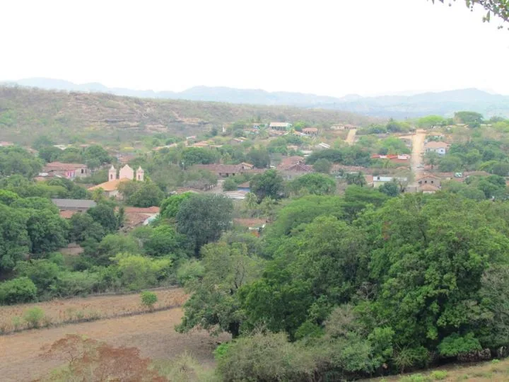
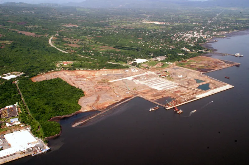
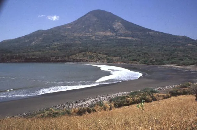
Amapala sits on the volcanic island of El Tigre in the Honduran part of the Gulf of Fonseca and belongs to Valle Department. Until the early 20th century it was the country's most important Pacific port, a regular stop for steamship lines linking Mexico, Central America and South America. Today the town blends old port architecture, quiet fishing beaches and the striking near-well-suited cone of El Tigre volcano. The opening of a new deep-water port on the island has restored Amapala's strategic role as a logistics hub for Pacific trade in the region. For visitors, the island stands out for its viewpoints over the gulf, its mild island microclimate and the layered story of indigenous heritage, colonial port commerce and tropical island life.
- Location: Honduras
- Nearby: Comayagua (6 km)
- Population: ~12.743 (2026)
Best time to visit & climate
The most pleasant time to visit is Jan, Nov, Dec.
| Jan | Feb | Mar | Apr | May | Jun | Jul | Aug | Sep | Oct | Nov | Dec | |
|---|---|---|---|---|---|---|---|---|---|---|---|---|
| Avg °C | 27 | 28 | 29 | 30 | 28 | 27 | 28 | 28 | 27 | 26 | 26 | 26 |
| Rain mm | 3 | 3 | 7 | 37 | 198 | 214 | 111 | 160 | 250 | 231 | 39 | 17 |
Geography
Facts
- Located on El Tigre Island
- Former main Pacific port
- Volcanic island
- Historic German presence
Explore nearby
Notable places around
Route planner — Car & Motorhome
Where do you start? We build the route here, with stops and country notes along the way.
© OpenStreetMap contributors · OpenRouteService
Frequently asked questions
Where is Amapala located?
How do you get to the island?
What is the main attraction?
What can you eat there?
Is Amapala expensive?
Amapala: where is it located?
Amapala: when is the best time to visit?
Amapala: why is it worth visiting?

Nearby cities


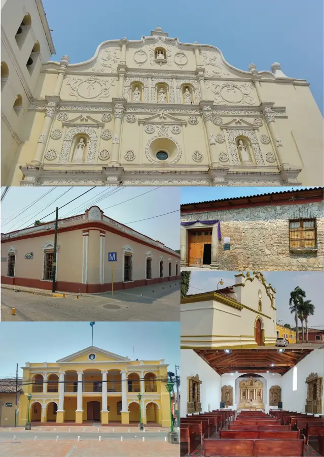
History & landmarks
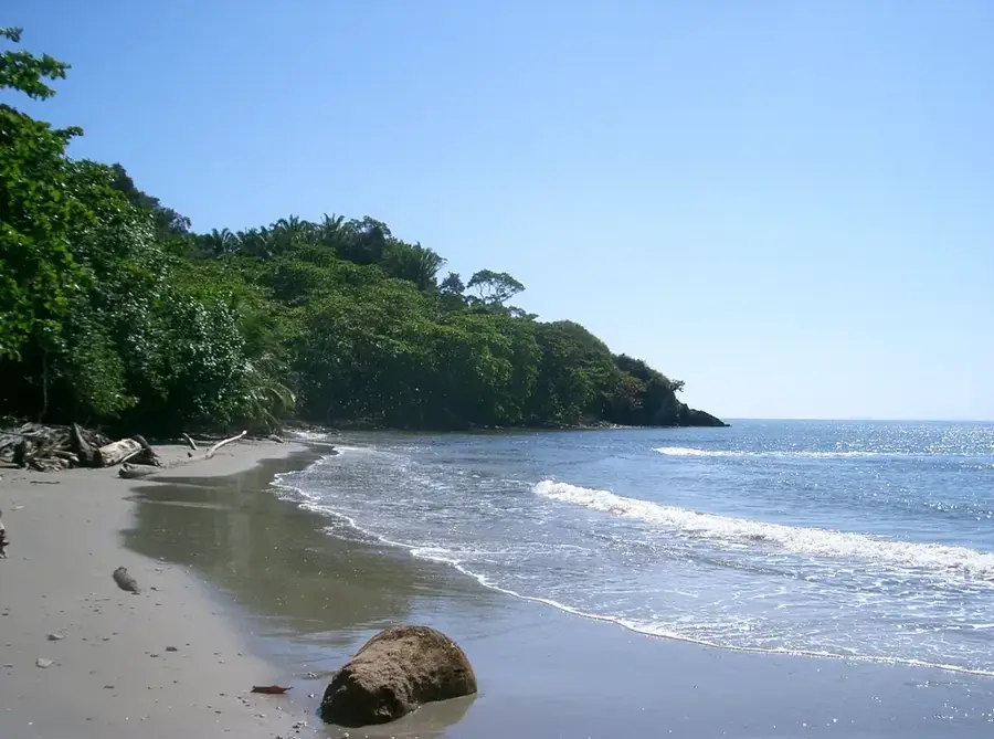
Nature
More places