Plizio Visual Lab
Meanguera Island

Weather…
Water temperature…
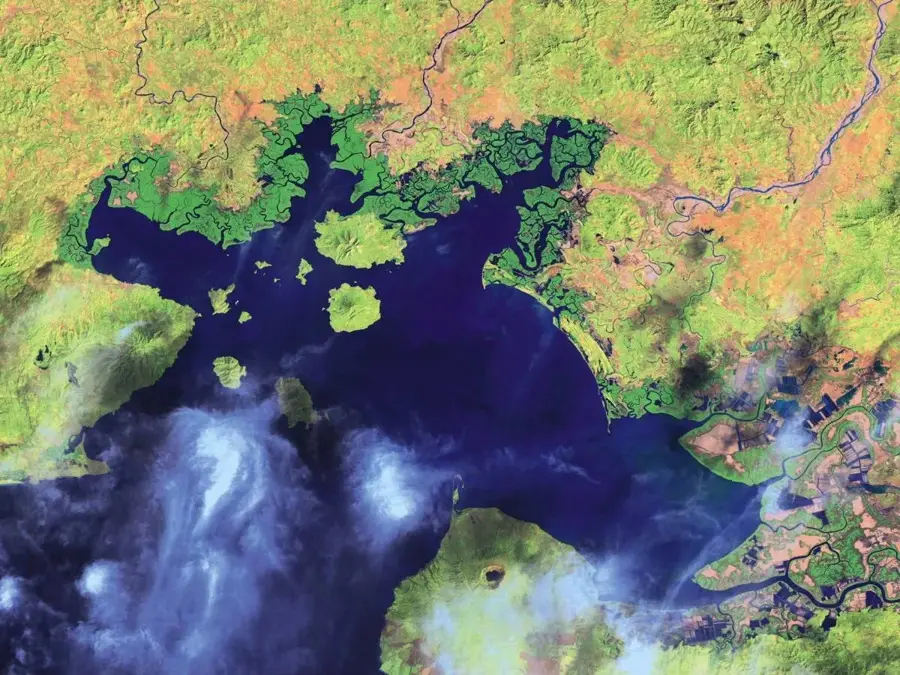
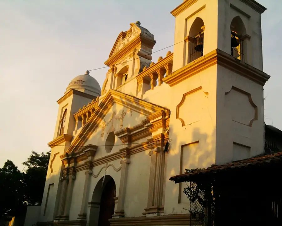
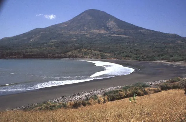
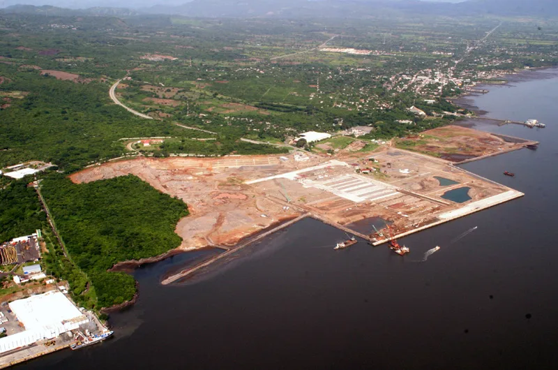
Meanguera Island is located in the Gulf of Fonseca in southeastern El Salvador, serving as a site of significant historical and ecological interest. Covering approximately 16.68 square kilometers, the island is of volcanic origin and is part of an archipelago shared between El Salvador, Honduras, and Nicaragua. It was originally inhabited by the Lenca people, whose cultural legacy remains influential in local customs. During the 17th century, Meanguera was a notorious haunt for pirates, including Sir Francis Drake, who used its hidden coves to intercept Spanish galleons. Today, it is a peaceful municipality primarily focused on artisanal fishing and growing ecotourism. The terrain is characterized by rugged hills, tropical dry forests, and secluded beaches. The surrounding waters are rich in marine life, providing a vital habitat for dolphins, sea turtles, and various fish species. The island community is increasingly active in environmental stewardship, aiming to balance their traditional livelihoods with the preservation of their unique coastal ecosystem.
- Location: El Salvador
- Nearby: Concepción de Oriente (6 km)
Best time to visit & climate
The most pleasant time to visit is Jan, Feb, Dec.
| Jan | Feb | Mar | Apr | May | Jun | Jul | Aug | Sep | Oct | Nov | Dec | |
|---|---|---|---|---|---|---|---|---|---|---|---|---|
| Avg °C | 28 | 29 | 30 | 30 | 29 | 29 | 29 | 29 | 28 | 28 | 28 | 28 |
| Rain mm | 1 | 2 | 8 | 36 | 220 | 230 | 120 | 182 | 287 | 271 | 48 | 10 |
📋 Practical info
Geography
Facts
- Covers a total land area of approximately 16.68 square kilometers.
- Historically used as a base by pirates like Sir Francis Drake.
- The highest peak on the island reaches an elevation of 512 meters.
- Administratively part of the La Unión Department.
- Located in the Gulf of Fonseca, shared by three nations.
- The surrounding waters are a frequent spotting site for bottlenose dolphins.
Explore nearby
Notable places around
Route planner — Car & Motorhome
Where do you start? We build the route here, with stops and country notes along the way.
© OpenStreetMap contributors · OpenRouteService
Sights nearby
Frequently asked questions
How to reach Meanguera Island?
Are there hotels there?
What is special about the island?
Are there beaches for swimming?
Is it good for diving?
Meanguera Island: where is it located?
Meanguera Island: when is the best time to visit?
Meanguera Island: why is it worth visiting?

Nearby cities

More places