Plizio Visual Lab
Pasaquina
ℹ️Practical info — Pasaquina
▾
🌤 Weather — 5 days
📍 Nearby
Sights nearby
💡 Tips
- Be cautious with money changers at the El Amatillo border; use official banks or ATMs for better rates.
- The heat can be intense; plan your outdoor activities for early morning or late afternoon.
- The Goascorán River serves as a natural border; ask locals for the safest and most popular swimming spots.
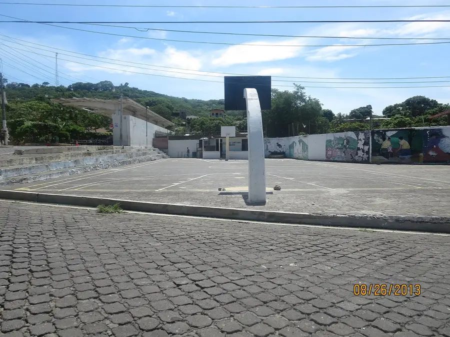
- Check out a game at the Ramón Flores Berríos Stadium to experience the local passion for football.
- Stay hydrated and wear breathable clothing, as the humidity in this lowland area is quite high.
🍽 Food
Try the mixed grill platters at this well-established restaurant on the main highway.
Look for this sweet cheese-based pound cake in local bakeries; it's a great coffee companion.
Visit the riverside eateries for fresh fish caught directly from the Goascorán River.
🛍 Shopping · 🧘 Quiet spots
A bustling spot to find clothing, household goods, and regional products from both El Salvador and Honduras.
Buy fresh 'Queso Duro' (hard cheese) from street vendors, a staple specialty of the region.
A small, well-kept park in the town center, great for a quick break in the shade.
Find a shaded spot under the trees by the river for some peaceful nature watching.
Water temperature…
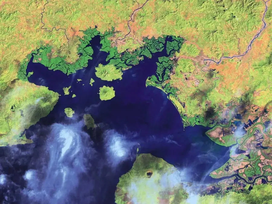
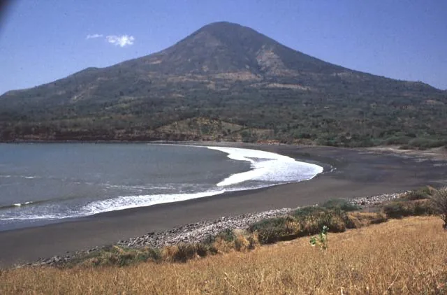
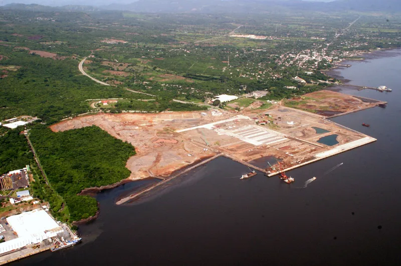
Pasaquina is located in the department of La Unión in the far east of El Salvador, directly on the border with Honduras. The city serves as a strategic point, hosting the significant El Amatillo border crossing, which facilitates the flow of goods and travelers between Central American nations. Historically, the settlement has indigenous Lenca roots, reflected in its name, which in the native language translates approximately to City of the Whites. The region is characterized by a hilly landscape bounded by the Goascorán River, which forms the natural boundary with Honduras. Economically, the area is dominated by cross-border trade, cattle ranching, and the cultivation of basic grains such as maize and beans. Pasaquina officially received the title of city in 1920 and has since evolved into a vital commercial hub for the surrounding rural municipalities. The climate is tropical and hot, typical of the low-lying eastern regions of the country, shaping the local lifestyle and agriculture.
- Location: El Salvador
- Nearby: San Alejo (9 km)
- Population: ~2.149 (2012)
Best time to visit & climate
The most pleasant time to visit is Jan, Nov, Dec.
| Jan | Feb | Mar | Apr | May | Jun | Jul | Aug | Sep | Oct | Nov | Dec | |
|---|---|---|---|---|---|---|---|---|---|---|---|---|
| Avg °C | 27 | 28 | 29 | 29 | 28 | 27 | 27 | 27 | 26 | 26 | 26 | 26 |
| Rain mm | 3 | 3 | 6 | 35 | 190 | 199 | 136 | 186 | 246 | 216 | 41 | 10 |
Geography
Facts
- Located on the banks of the Goascorán River at the Honduras border.
- Home to the El Amatillo international border crossing.
- Achieved the official status of a city in the year 1920.
- The name is of Lenca origin, meaning City of the Whites.
- Primary economic drivers are border trade and cattle ranching.
- Part of the La Unión department in eastern El Salvador.
Explore nearby
Notable places around
Route planner — Car & Motorhome
Where do you start? We build the route here, with stops and country notes along the way.
© OpenStreetMap contributors · OpenRouteService
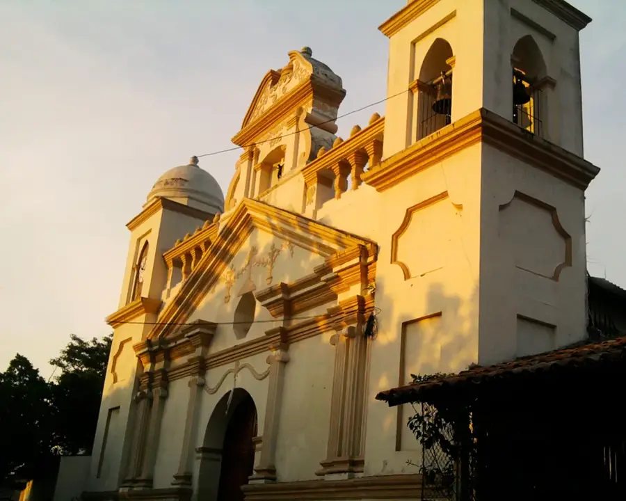
Sights in the town Pasaquina (1)
Frequently asked questions
What does Pasaquina offer travelers?
Should I stay overnight in Pasaquina?
How is the atmosphere?
What should one avoid?
Is there local food there?
Pasaquina: where is it located?
Pasaquina: when is the best time to visit?
Pasaquina: why is it worth visiting?

Nearby cities


More places