Plizio Visual Lab
Concepción de Oriente

ℹ️Practical info — Concepción de Oriente
▾
🌤 Weather — 5 days
📍 Nearby
Sights nearby
💡 Tips
- This is a quiet border town; ensure you have all necessary documentation if you plan to cross into Honduras.
- Public transport is limited; traveling by personal vehicle or hiring a local taxi for the day is recommended.
- The dry season is the best time to visit, as rural roads can become difficult to navigate during heavy rains.
- Life here is slow-paced; be patient and respectful of the relaxed local schedule.
🍽 Food
Traditional savory tamales wrapped in banana leaves from local households or small eateries.
A sweet cheese pound cake, first-rate with afternoon coffee at a local bakery.
Fried cassava often served with chicharrón, found at small street food stands.
🛍 Shopping · 🧘 Quiet spots
A small local market for essential fruits, vegetables, and everyday goods.
Occasionally found near the central plaza selling handmade crafts.
The area around the central church is usually quiet and shaded.
Take a short hike just outside the town center for views of the rolling rural landscape.
Water temperature…
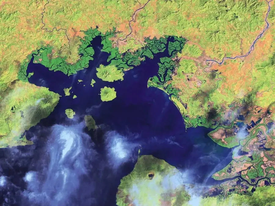
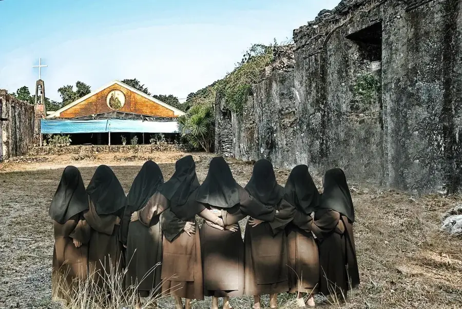
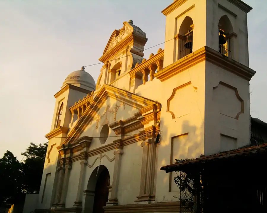
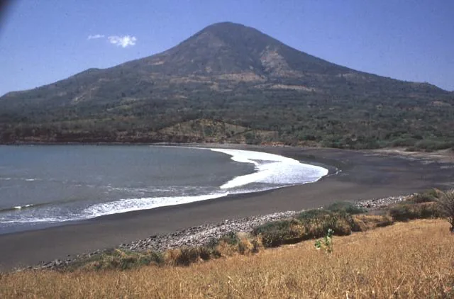
Concepción de Oriente is located on the northeastern border of El Salvador in the La Unión Department, separated from Honduras by the Goascorán River. The town was originally founded under the name Saco and has a long history as a border outpost and commercial center. Due to its geographical location, the region is characterized by hilly topography and a dry tropical climate. The local economy relies mainly on cattle ranching and the cultivation of basic grains, with cross-border trade also playing a role in its local development. During the colonial era, the site was known for its strategic importance in monitoring the frontier region. Today, Concepción de Oriente is a quiet community valued for its traditional way of life and the preservation of local customs. The Church of the Immaculate Conception is the central religious and architectural landmark of the town, dominating the central urban landscape.
- Location: El Salvador
- Nearby: Conchagua (12 km)
- Population: ~6.923 (2024)
Best time to visit & climate
The most pleasant time to visit is Jan, Nov, Dec.
| Jan | Feb | Mar | Apr | May | Jun | Jul | Aug | Sep | Oct | Nov | Dec | |
|---|---|---|---|---|---|---|---|---|---|---|---|---|
| Avg °C | 27 | 28 | 29 | 30 | 28 | 27 | 28 | 28 | 27 | 26 | 26 | 26 |
| Rain mm | 3 | 3 | 7 | 37 | 198 | 214 | 111 | 160 | 250 | 231 | 39 | 17 |
Geography
Facts
- The town was officially known by the name 'Saco' before 1882.
- The Goascorán River forms the natural border with Honduras to the east.
- The municipality is part of the La Unión Department in eastern El Salvador.
- The town is located at an elevation of approximately 150 meters above sea level.
- Patronal festivals are held on December 8th for the Immaculate Conception.
- Concepción de Oriente was elevated to the status of 'City' in the late 20th century.
Explore nearby
Notable places around
Route planner — Car & Motorhome
Where do you start? We build the route here, with stops and country notes along the way.
© OpenStreetMap contributors · OpenRouteService
Frequently asked questions
What makes Concepción de Oriente special?
Are there natural highlights there?
How is the journey there?
When is the city most lively?
Are there simple accommodations?
Concepción de Oriente: where is it located?
Concepción de Oriente: when is the best time to visit?
Concepción de Oriente: why is it worth visiting?

Nearby cities


More places