Plizio Visual Lab
El Tigre Island

Weather…
Water temperature…
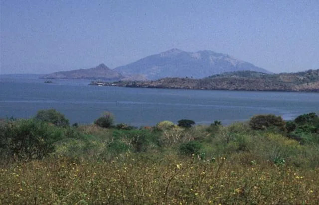
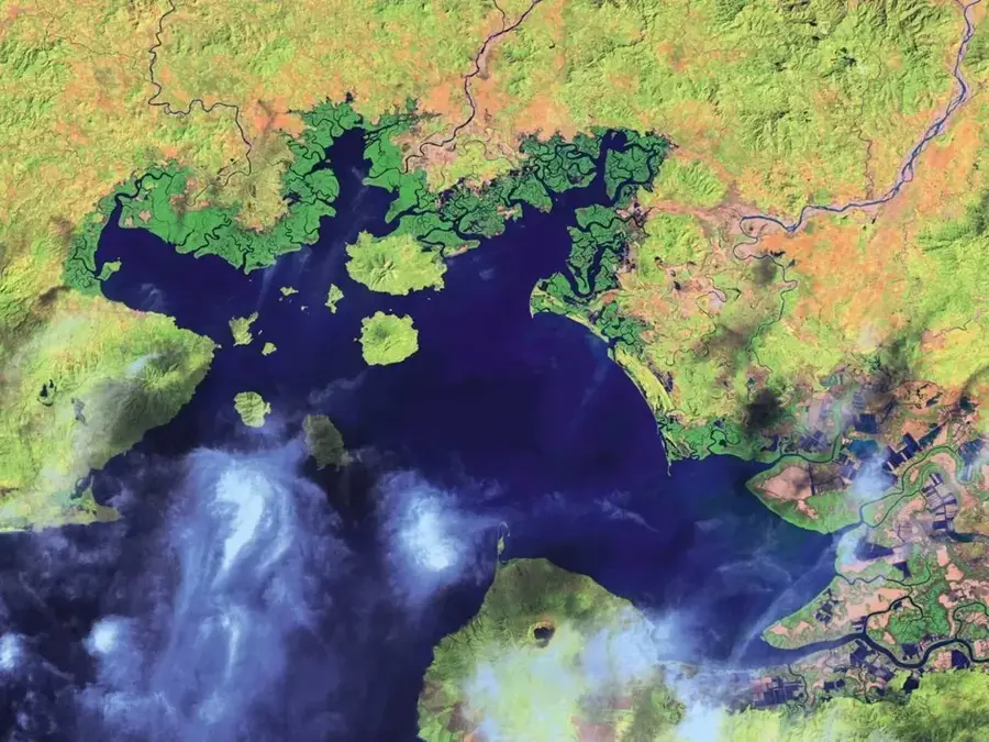
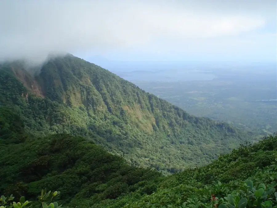
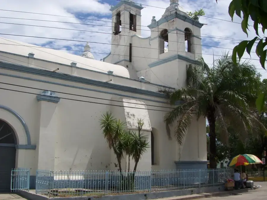
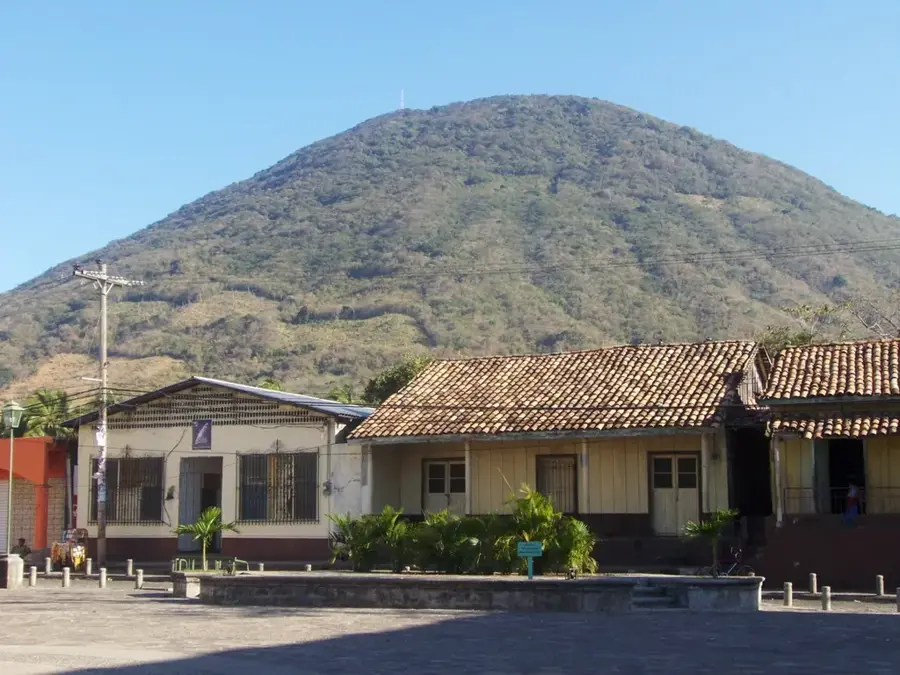
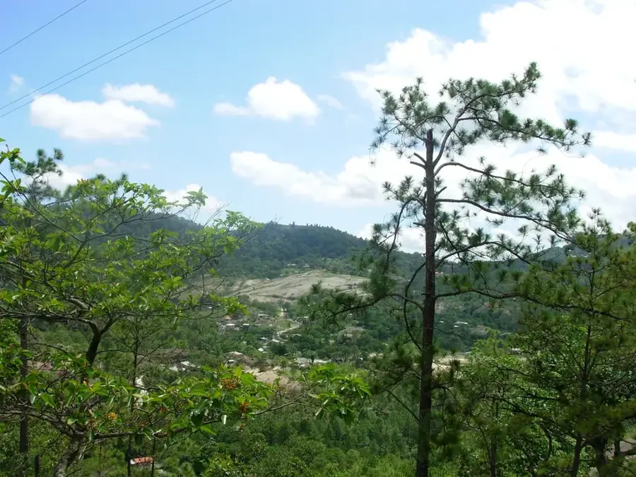
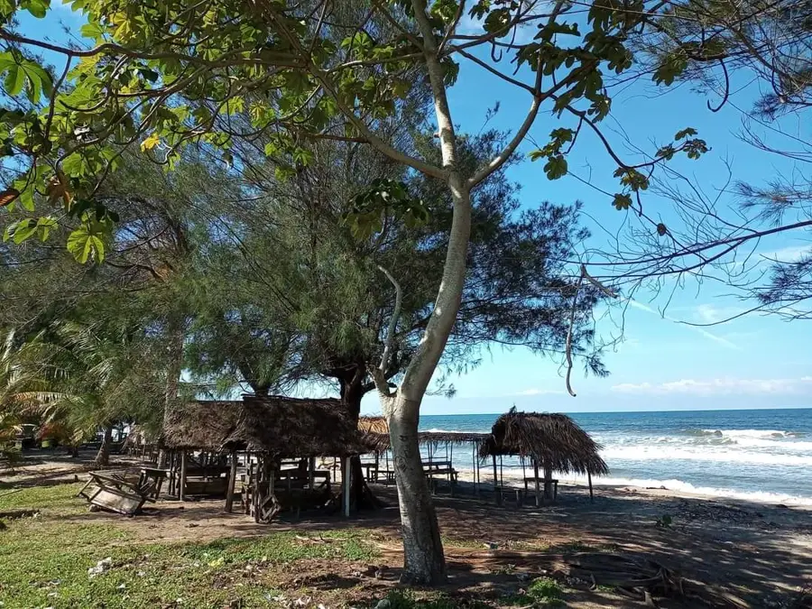
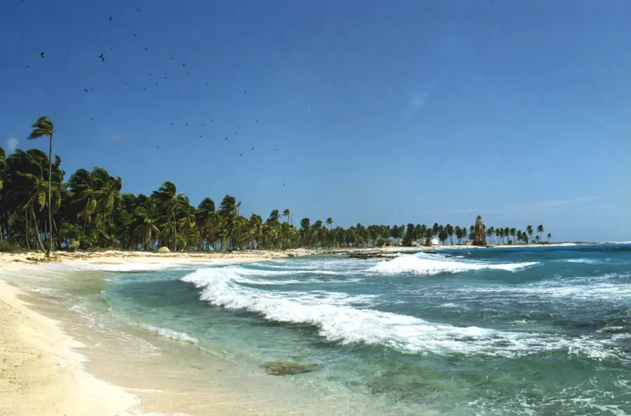
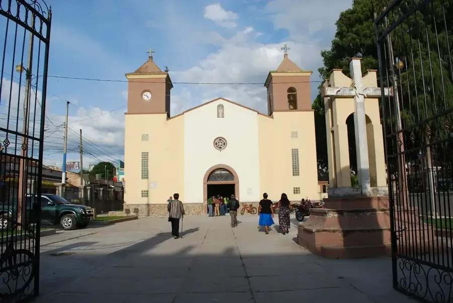
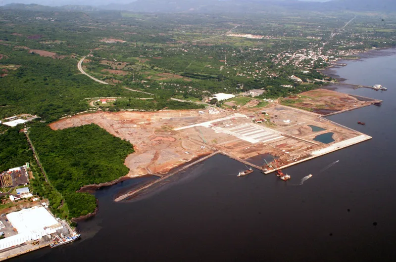
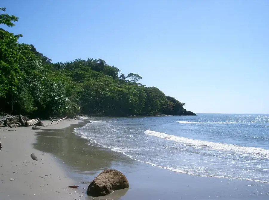
Isla El Tigre is a prominent volcanic island in the Gulf of Fonseca, characterized by a nearly great conical peak rising from the Pacific. The island is home to the historic town of Amapala, once the primary Pacific port of entry for Honduras. The name El Tigre (The Tiger) reportedly originated with pirates who used the island as a clandestine base. Today, it is a serene destination for those interested in colonial history and tranquil nature. A popular hiking trail leads to the volcano's summit, providing an unparalleled vantage point over the coastlines of Honduras, El Salvador, and Nicaragua. The surrounding waters are abundant with marine life, supporting traditional fishing communities. El Tigre remains a powerful symbol of the nation's maritime heritage and volcanic origins.
- Location: Honduras
- Nearby: Comayagua (5 km)
Best time to visit & climate
The most pleasant time to visit is Jan, Nov, Dec.
| Jan | Feb | Mar | Apr | May | Jun | Jul | Aug | Sep | Oct | Nov | Dec | |
|---|---|---|---|---|---|---|---|---|---|---|---|---|
| Avg °C | 27 | 28 | 29 | 30 | 28 | 27 | 28 | 28 | 27 | 26 | 26 | 26 |
| Rain mm | 3 | 3 | 7 | 37 | 198 | 214 | 111 | 160 | 250 | 231 | 39 | 17 |
📋 Practical info
Geography
Facts
- The island is approximately 5 km in diameter.
- The volcano's peak stands 783 meters above sea level.
- Amapala served as the capital of Honduras during the 19th century.
- The island was once a hideout for pirate Francis Drake.
- A perimeter road around the island is about 12 km long.
- There are no cars on the island, only mototaxis and motorcycles.
Explore nearby
Notable places around
Route planner — Car & Motorhome
Where do you start? We build the route here, with stops and country notes along the way.
© OpenStreetMap contributors · OpenRouteService
Sights nearby
Frequently asked questions
What is the most important town on Isla El Tigre?
How can you go around the island?
Can you climb the volcano?
Are there black sand beaches?
Where do you take the ferry?
El Tigre Island: where is it located?
El Tigre Island: when is the best time to visit?
El Tigre Island: why is it worth visiting?

Nearby cities


History & landmarks

Nature
More places