Plizio Visual Lab
Pic Macaya

Weather…
Water temperature…
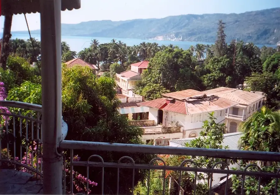
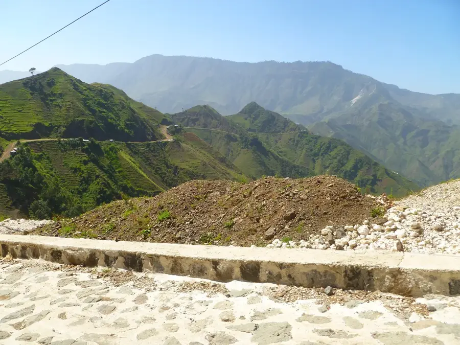
Pic Macaya is the second-highest mountain in Haiti, reaching an elevation of 2,347 meters within the Massif de la Hotte on the country's southwestern peninsula. It forms the center of the Macaya National Park, established in 1983, which is one of the most critical biodiversity hotspots in the Caribbean. Geologically, the massif consists primarily of Cretaceous limestone and is characterized by steep slopes and deep valleys. The summit and its surroundings are home to numerous endemic species of flora and fauna, including rare ferns, orchids, and endangered amphibians such as the Macaya frog. Historically, the region's inaccessibility made it a sanctuary for Maroon communities during the colonial era, who sought freedom in its rugged terrain. Today, the area is designated as a UNESCO Biosphere Reserve to protect Haiti's remaining primary forests from the threats of deforestation and soil erosion. Furthermore, the massif serves as a vital water catchment area for the agricultural plains in the southern part of the nation.
- Location: Haiti
- Top sights: Massif de la Hotte · Pic Macaya National Park
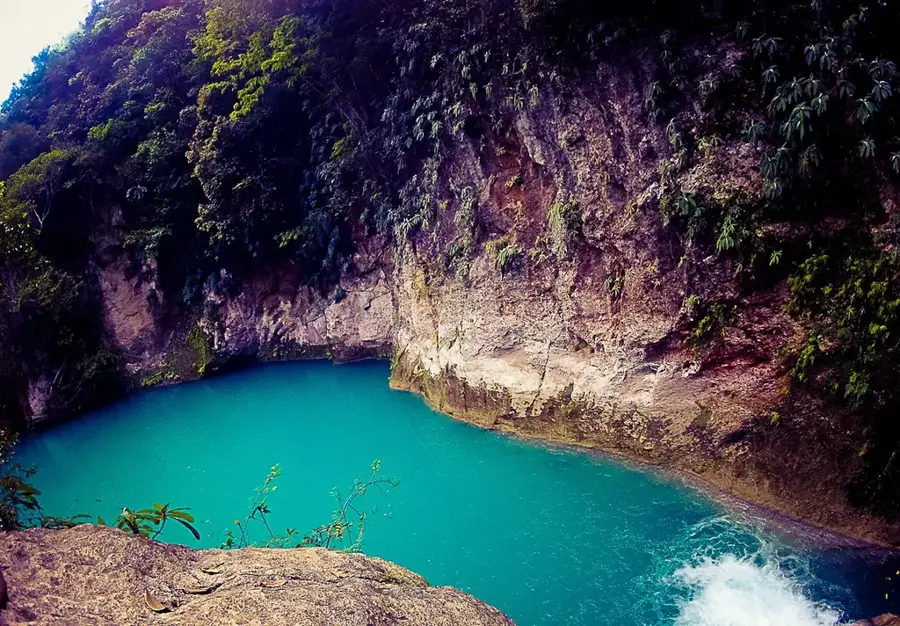
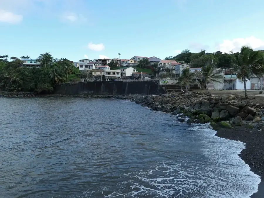
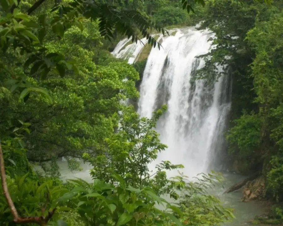
- Nearby: Saut-Mathurine (23 km)
Best time to visit & climate
The most pleasant time to visit is Jan–Mar.
| Jan | Feb | Mar | Apr | May | Jun | Jul | Aug | Sep | Oct | Nov | Dec | |
|---|---|---|---|---|---|---|---|---|---|---|---|---|
| Avg °C | 25 | 26 | 26 | 27 | 28 | 28 | 28 | 29 | 28 | 28 | 27 | 26 |
| Rain mm | 29 | 19 | 24 | 30 | 69 | 60 | 48 | 64 | 74 | 119 | 75 | 34 |
📋 Practical info
Geography
Facts
- The summit elevation is exactly 2,347 meters.
- Second-highest peak within Haitian territory.
- Center of Macaya National Park, founded in 1983.
- Member of the UNESCO Biosphere Reserve network.
- Home to over 100 different species of birds.
- Located within the Massif de la Hotte mountain range.
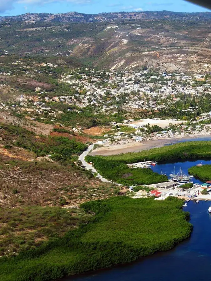
Explore nearby
Notable places around
Route planner — Car & Motorhome
Where do you start? We build the route here, with stops and country notes along the way.
© OpenStreetMap contributors · OpenRouteService
Sights in the town Pic Macaya (2)
Sights nearby
Frequently asked questions
What makes Pic Macaya ecologically valuable?
How long does a trekking tour take?
When is the best time to visit?
Is special equipment needed?
Is the area protected?
Pic Macaya: where is it located?
Pic Macaya: what is there to see?
Pic Macaya: when is the best time to visit?
Pic Macaya: why is it worth visiting?

Nearby cities


History & landmarks