Plizio Visual Lab
Saut-Mathurine

Weather…
Water temperature…
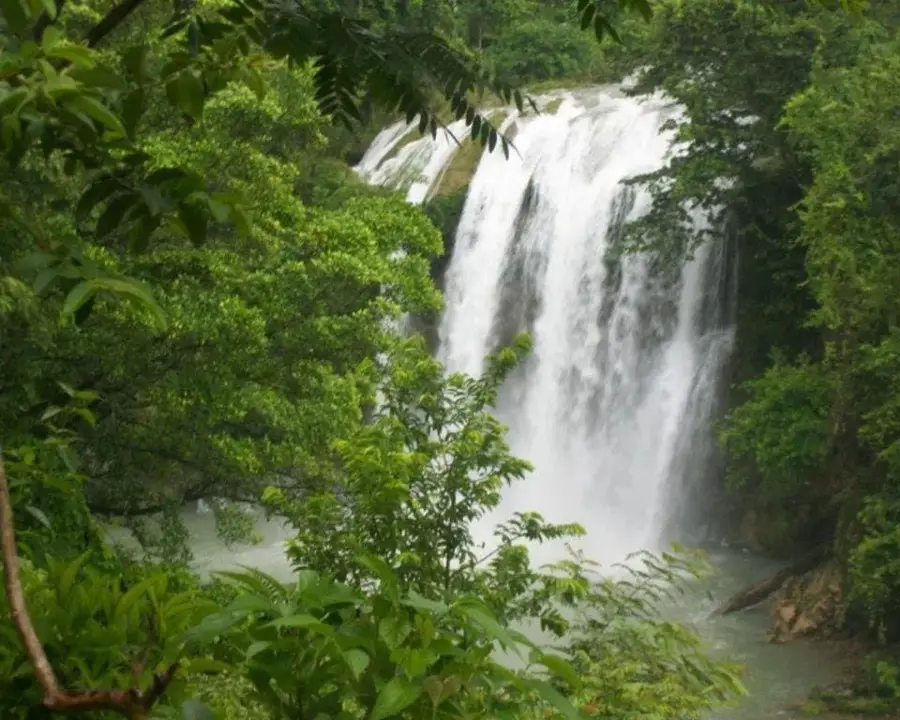
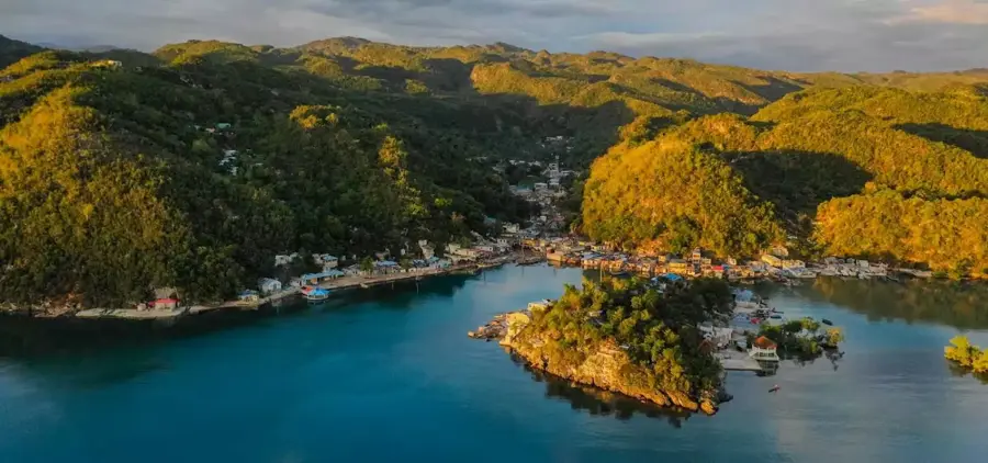
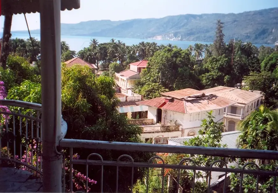
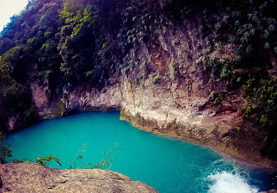
Saut-Mathurine is the largest and most impressive waterfall in Haiti, located in the Sud department near the town of Camp-Perrin. The waterfall is fed by the Cavaillon River and plunges over a cliff approximately 30 meters high and 30 meters wide into a large natural basin. The surrounding landscape is defined by lush, green vegetation, making it one of the most beautiful natural landmarks in the country. Beyond its importance as a destination for local tourism, Saut-Mathurine also plays a role in energy production; projects have been initiated to harness the waterfall's hydraulic power for the electrification of nearby communities. The region is further known for its fertile soils and agriculture, making the waterfall a crucial part of the local ecosystem. Visitors value the cool water of the pool as a welcome refreshment in the tropical climate. Accessibility to the waterfall has been improved in recent years to facilitate travel, while ongoing efforts continue to focus on protecting the natural environment and biodiversity.
- Location: Haiti
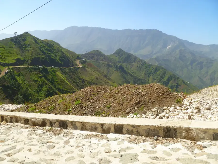
- Nearby: Pestel (7 km)
Best time to visit & climate
The most pleasant time to visit is Jan–Mar.
| Jan | Feb | Mar | Apr | May | Jun | Jul | Aug | Sep | Oct | Nov | Dec | |
|---|---|---|---|---|---|---|---|---|---|---|---|---|
| Avg °C | 25 | 26 | 26 | 27 | 28 | 28 | 28 | 29 | 28 | 28 | 27 | 26 |
| Rain mm | 29 | 19 | 24 | 30 | 69 | 60 | 48 | 64 | 74 | 119 | 75 | 34 |
📋 Practical info
Geography
Facts
- Largest waterfall in Haiti.
- Drop height is approximately 30 meters.
- Fed by the waters of the Cavaillon River.
- Located in the Sud department near Camp-Perrin.
- Hydraulic power is used for local electricity.
- The width of the falls is also about 30 meters.
Explore nearby
Notable places around
Route planner — Car & Motorhome
Where do you start? We build the route here, with stops and country notes along the way.
© OpenStreetMap contributors · OpenRouteService
Sights nearby
Frequently asked questions
What is Saut-Mathurine?
Can you swim in the waterfall?
How difficult is the access?
Is there an entrance fee?
What should you bring?
Saut-Mathurine: where is it located?
Saut-Mathurine: when is the best time to visit?
Saut-Mathurine: why is it worth visiting?

Nearby cities


History & landmarks


Nature


More places


