Plizio Visual Lab
Pic de Bonhomme

Weather…
Water temperature…
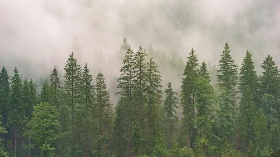
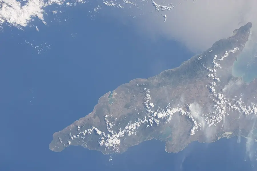
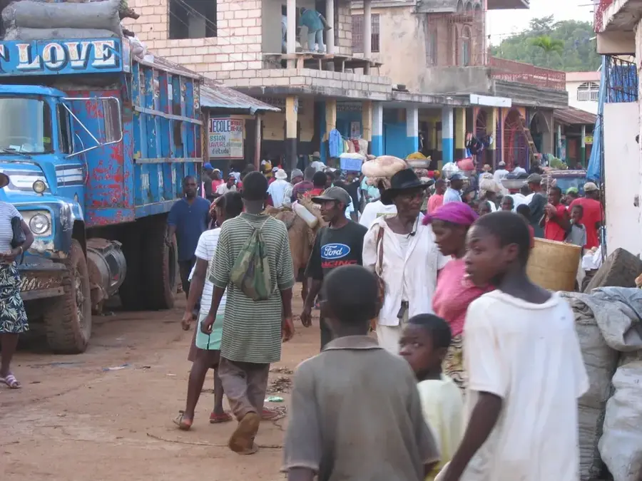
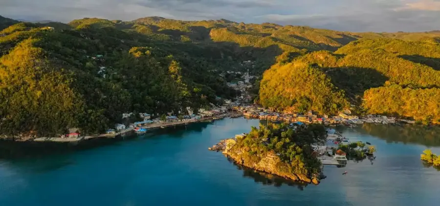
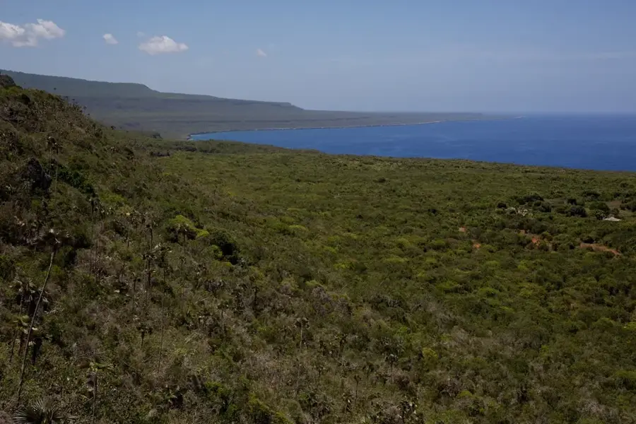
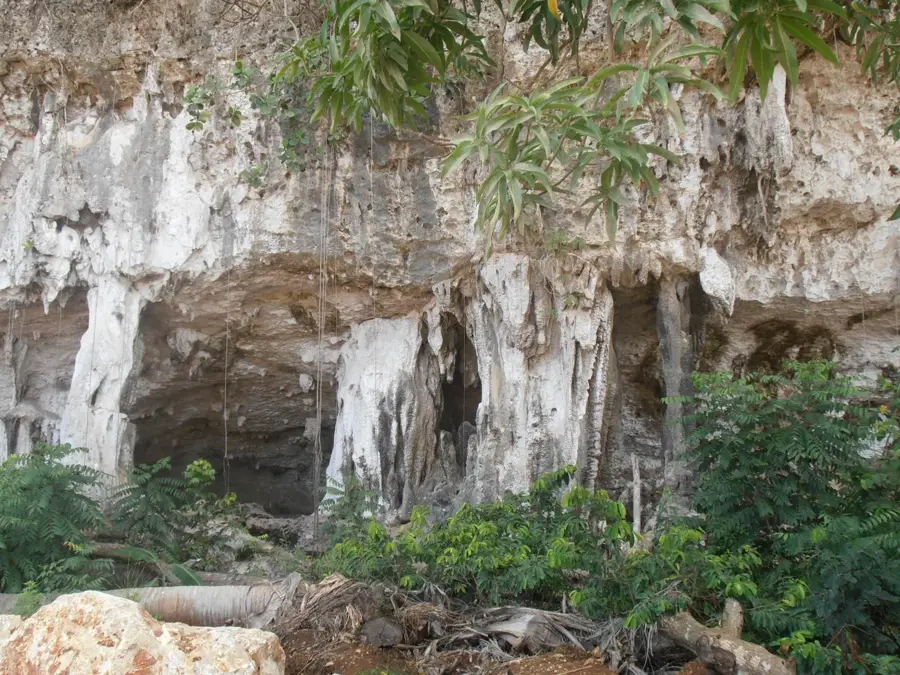
Pic de Bonhomme is a distinctive peak within the Massif de la Hotte in the far southwestern tip of Haiti. Located inside the Macaya National Park, it sits in a region world-renowned for its extraordinary concentration of endemic species. The peak and its surrounding slopes are frequently shrouded in mist, creating a rare cloud forest environment where ferns, mosses, and orchids flourish in abundance. Geologically, the mountain is part of an ancient, deeply dissected limestone massif that provides numerous unique ecological niches. Its remote location makes Pic de Bonhomme a critical sanctuary for endangered wildlife, such as the Hispaniolan trogon. However, preventing illegal logging and agricultural encroachment remains a persistent challenge for conservationists managing the park.
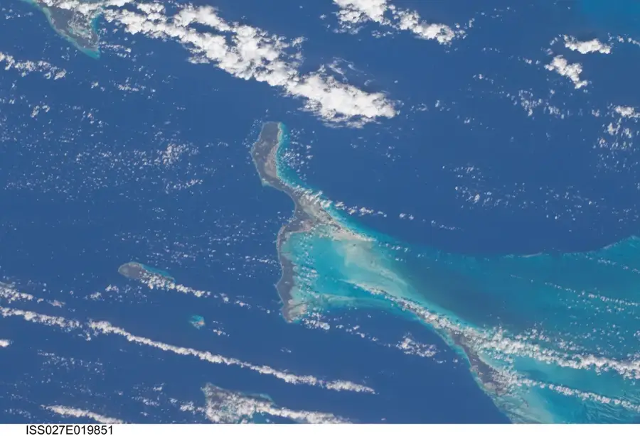
- Location: Haiti
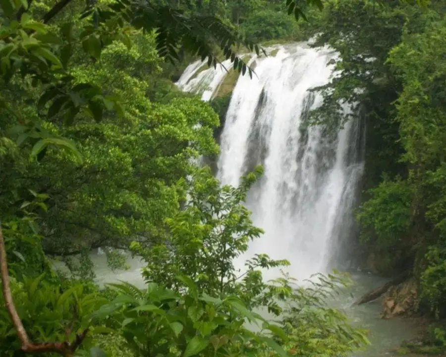
- Nearby: Saut-Mathurine (4 km)
Best time to visit & climate
The most pleasant time to visit is Jan–Mar.
| Jan | Feb | Mar | Apr | May | Jun | Jul | Aug | Sep | Oct | Nov | Dec | |
|---|---|---|---|---|---|---|---|---|---|---|---|---|
| Avg °C | 25 | 26 | 26 | 27 | 28 | 28 | 28 | 29 | 28 | 28 | 27 | 26 |
| Rain mm | 29 | 19 | 24 | 30 | 69 | 60 | 48 | 64 | 74 | 119 | 75 | 34 |
📋 Practical info
Geography
Facts
- Elevation of approximately 1,300 meters.
- Located within Macaya National Park.
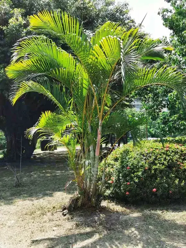
- Renowned for its vast orchid diversity.
- Crucial habitat for endemic frog species.
- Volcanic rock exists beneath the limestone cap.
- Accessible only by foot via steep, rugged trails.
Explore nearby
Notable places around
Route planner — Car & Motorhome
Where do you start? We build the route here, with stops and country notes along the way.
© OpenStreetMap contributors · OpenRouteService
Sights nearby
Frequently asked questions
What is Pic de Bonhomme?
Can you climb the peak?
How is the view from the top?
Is there a forest there?
Do I need a guide?
Pic de Bonhomme: where is it located?
Pic de Bonhomme: when is the best time to visit?
Pic de Bonhomme: why is it worth visiting?

Nearby cities

More places