Plizio Visual Lab
Macaya Cloud Forest
Weather…
Water temperature…
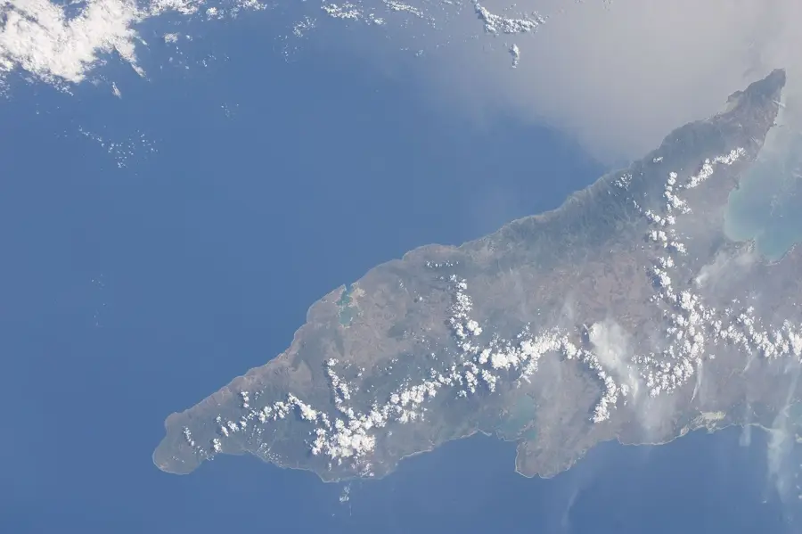
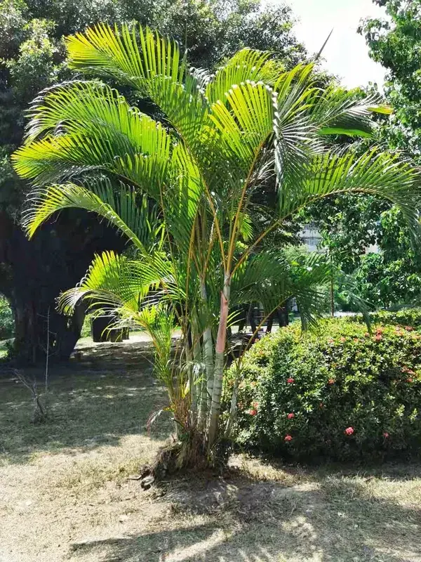
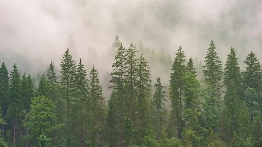
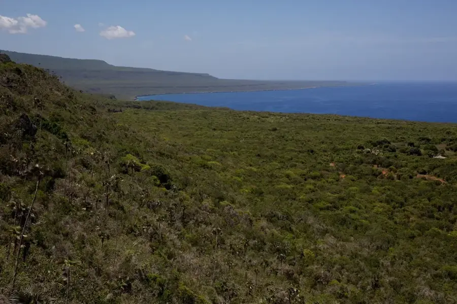
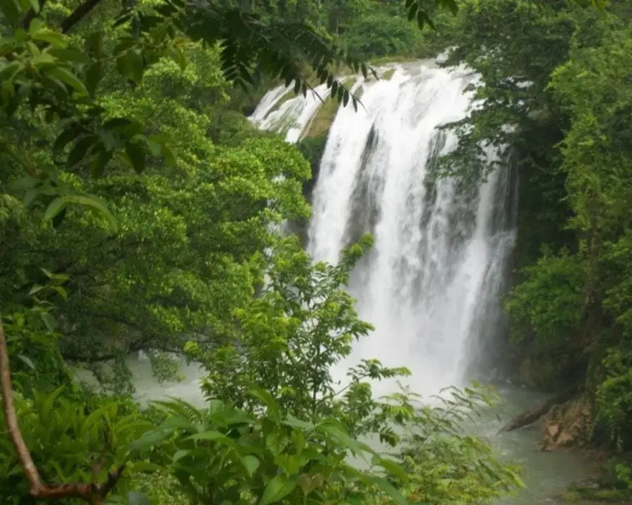
The Macaya Cloud Forest is one of the most critical biodiversity hotspots on the planet, situated within the Massif de la Hotte in southwestern Haiti. This rare high-altitude rainforest is frequently enveloped in dense mist, fostering a luxuriant growth of ferns, mosses, and endemic orchids. It is a sanctuary for hundreds of species found nowhere else, including many amphibians that are entirely restricted to this single forest. Geologically, the area is defined by sharp limestone peaks and deep ravines that served as evolutionary refuges during past climatic shifts. Despite its designation as a national park, the forest is under extreme threat from illegal logging and subsistence farming. International conservation efforts are urgently working to protect the remaining primary forest, as its destruction would result in the irreversible extinction of countless unique species.
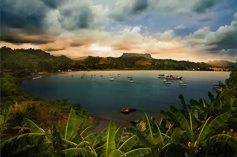
- Location: Haiti
- Nearby: Saut-Mathurine (26 km)
Best time to visit & climate
The most pleasant time to visit is Jan–Mar.
| Jan | Feb | Mar | Apr | May | Jun | Jul | Aug | Sep | Oct | Nov | Dec | |
|---|---|---|---|---|---|---|---|---|---|---|---|---|
| Avg °C | 25 | 26 | 26 | 27 | 28 | 28 | 28 | 29 | 28 | 28 | 27 | 26 |
| Rain mm | 29 | 19 | 24 | 30 | 69 | 60 | 48 | 64 | 74 | 119 | 75 | 34 |
📋 Practical info
Geography
Facts
- Home to more than 60 endemic vertebrate species.
- The wettest location in all of Haiti.
- Pic Macaya peak reaches an elevation of 2,347m.
- Hosts the world's highest density of endemic amphibians.
- Geology features ancient, weathered limestone.
- Designated a UNESCO Biosphere Reserve in 2016.
Explore nearby
Notable places around
Route planner — Car & Motorhome
Where do you start? We build the route here, with stops and country notes along the way.
© OpenStreetMap contributors · OpenRouteService
Sights in the town Macaya Cloud Forest (1)
Sights nearby
Frequently asked questions
What is the Macaya cloud forest?
Why is it called a cloud forest?
Are there rare animals there?
How high is Pic Macaya?
Is access easy for tourists?
Macaya Cloud Forest: where is it located?
Macaya Cloud Forest: when is the best time to visit?
Macaya Cloud Forest: why is it worth visiting?

Nearby cities
History & landmarks
More places