Plizio Visual Lab
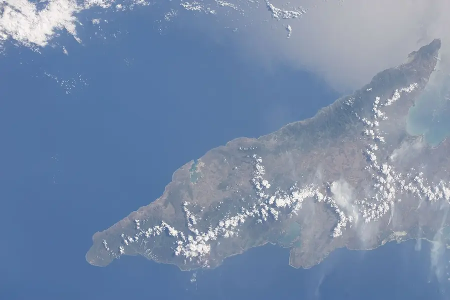
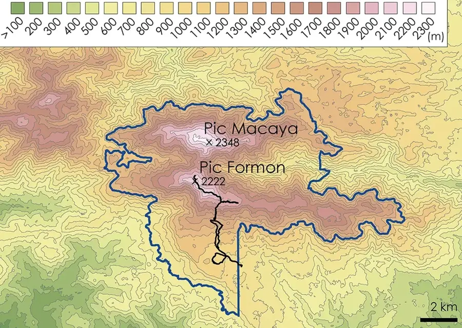
Pic Macaya National Park
Weather…
Water temperature…
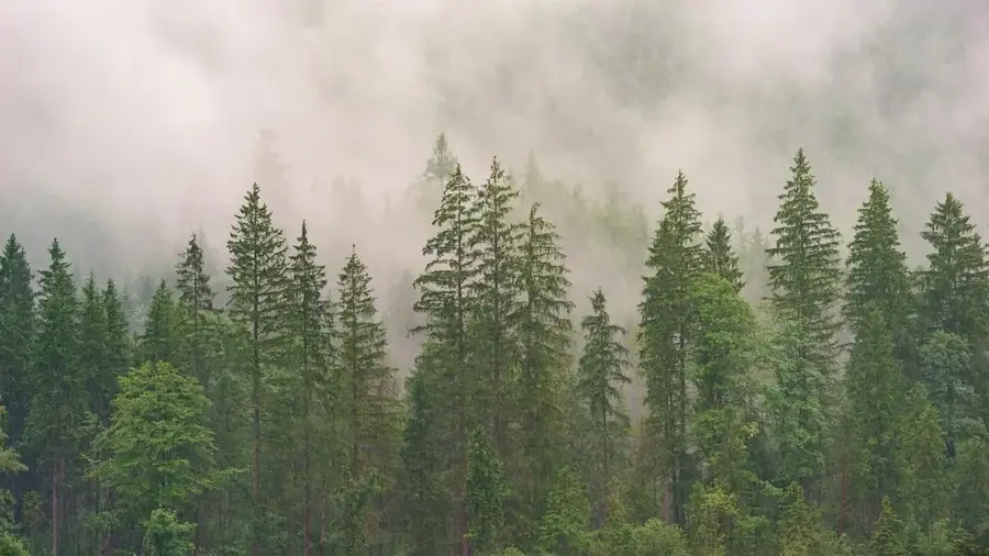
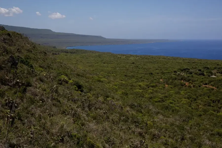
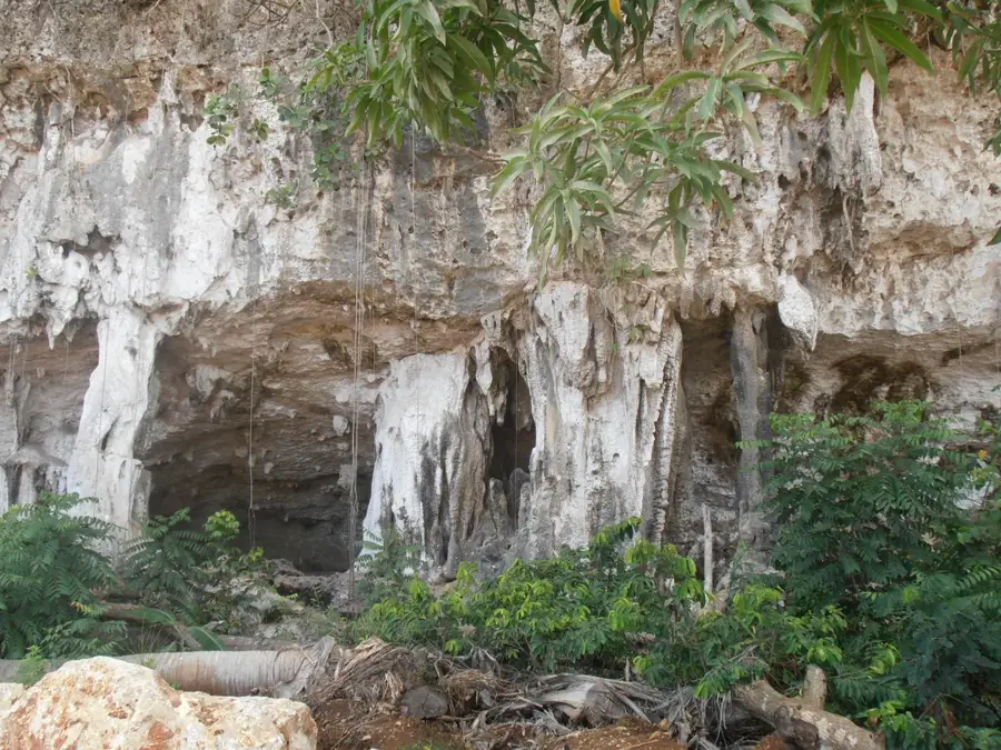
Pic Macaya National Park is located in the Massif de la Hotte in southwestern Haiti and is recognized as one of the most critical biodiversity hotspots in the Caribbean. Established in 1983, the park encompasses Pic Macaya, Haiti's second-highest peak at 2,347 meters above sea level. It is renowned for its vast array of endemic species, including rare orchids, unique amphibians, and several bird species found nowhere else on Earth. The park's terrain is characterized by dense cloud forests and steep karst formations, which serve as a vital watershed for the surrounding agricultural plains. Despite its ecological significance, the park faces severe threats from deforestation, soil erosion, and climate change, necessitating urgent international conservation efforts. Scientifically, Pic Macaya represents one of the last remaining primary forests in the Caribbean, offering invaluable data on tropical mountain ecosystems. Its preservation is essential not only for wildlife but also for the long-term environmental stability of the entire Tiburon Peninsula. Hiking in the park is a challenging yet rewarding experience for those seeking to witness Haiti's raw natural beauty.
- Location: Haiti
- Top sights: Massif de la Hotte · Pic Macaya
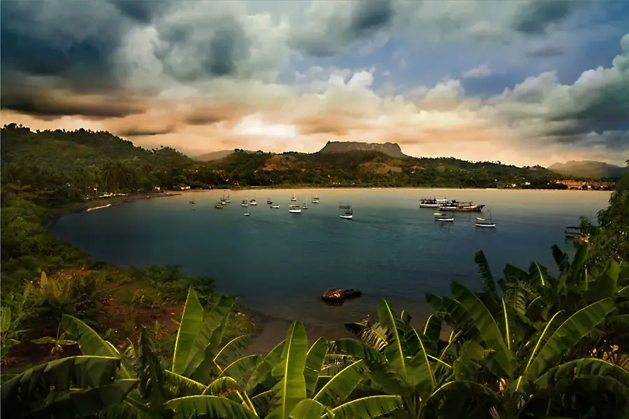
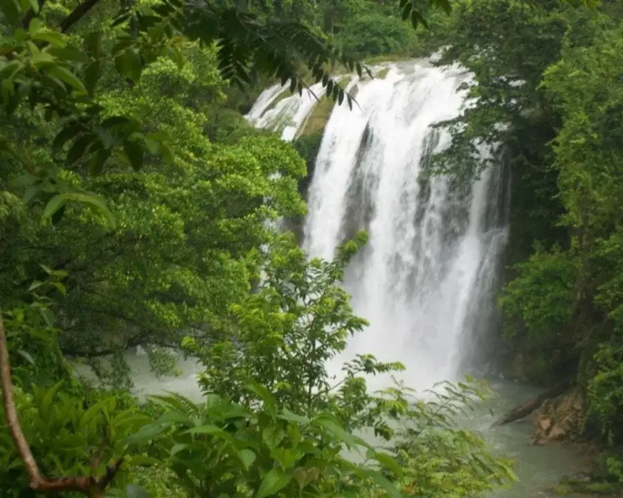
- Nearby: Saut-Mathurine (24 km)
Best time to visit & climate
The most pleasant time to visit is Jan–Mar.
| Jan | Feb | Mar | Apr | May | Jun | Jul | Aug | Sep | Oct | Nov | Dec | |
|---|---|---|---|---|---|---|---|---|---|---|---|---|
| Avg °C | 25 | 26 | 26 | 27 | 28 | 28 | 28 | 29 | 28 | 28 | 27 | 26 |
| Rain mm | 29 | 19 | 24 | 30 | 69 | 60 | 48 | 64 | 74 | 119 | 75 | 34 |
📋 Practical info
Geography
Facts
- The national park was officially established in April 1983.
- Pic Macaya rises to an elevation of 2,347 meters (7,700 feet).
- It contains more than 100 species of ferns and 140 types of orchids.
- The park is a key habitat for the critically endangered Hispaniolan Solenodon.
- It provides water for the major rivers of the Tiburon Peninsula.
- UNESCO designated the surrounding area as a Biosphere Reserve in 2016.
Explore nearby
Notable places around
Route planner — Car & Motorhome
Where do you start? We build the route here, with stops and country notes along the way.
© OpenStreetMap contributors · OpenRouteService
Sights in the town Pic Macaya National Park (2)
Sights nearby
Frequently asked questions
How high is Pic Macaya?
Do you need a guide for the national park?
What animals live there?
When is the best time for hiking?
Are there camping facilities?
Pic Macaya National Park: where is it located?
Pic Macaya National Park: what is there to see?
Pic Macaya National Park: when is the best time to visit?
Pic Macaya National Park: why is it worth visiting?

Nearby cities
History & landmarks
More places