Plizio Visual Lab
Caluco
ℹ️Practical info — Caluco
▾
🌤 Weather — 5 days
📍 Nearby
Sights nearby
💡 Tips
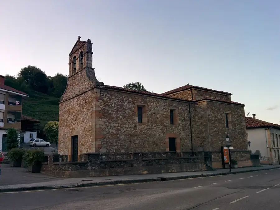
- Visit the striking ruins of the colonial San Pedro y San Pablo church, which was left in pieces by an earthquake.
- The local thermal spring parks (turicentros) get very crowded on weekends; go early on a weekday for a peaceful soak.
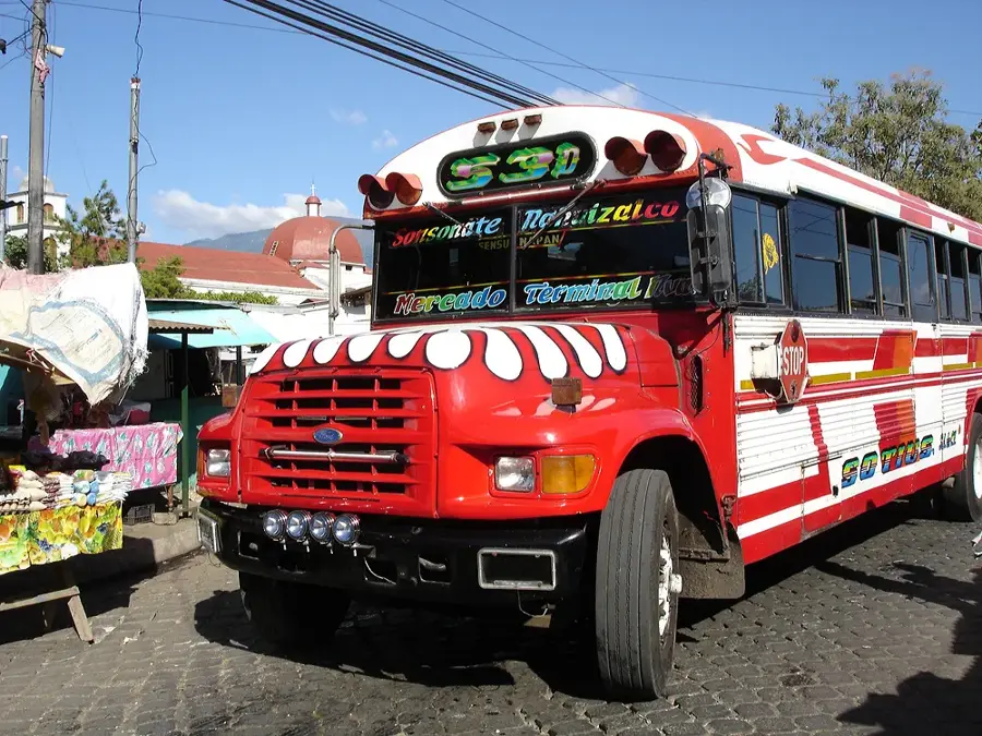
- Carry plenty of cash, as small food vendors and rural buses will not accept credit cards.
- The climate is often hot and humid, so pack light, breathable clothing and strong mosquito repellent.
🍽 Food
Try this hearty free-range chicken soup, widely served at the casual eateries near the hot springs.
Find El Salvador's beloved stuffed tortillas freshly made at local pupuserías around the main square in the evening.
Deep-fried cassava root, often sold as a delicious snack by street vendors on weekends.
🛍 Shopping · 🧘 Quiet spots
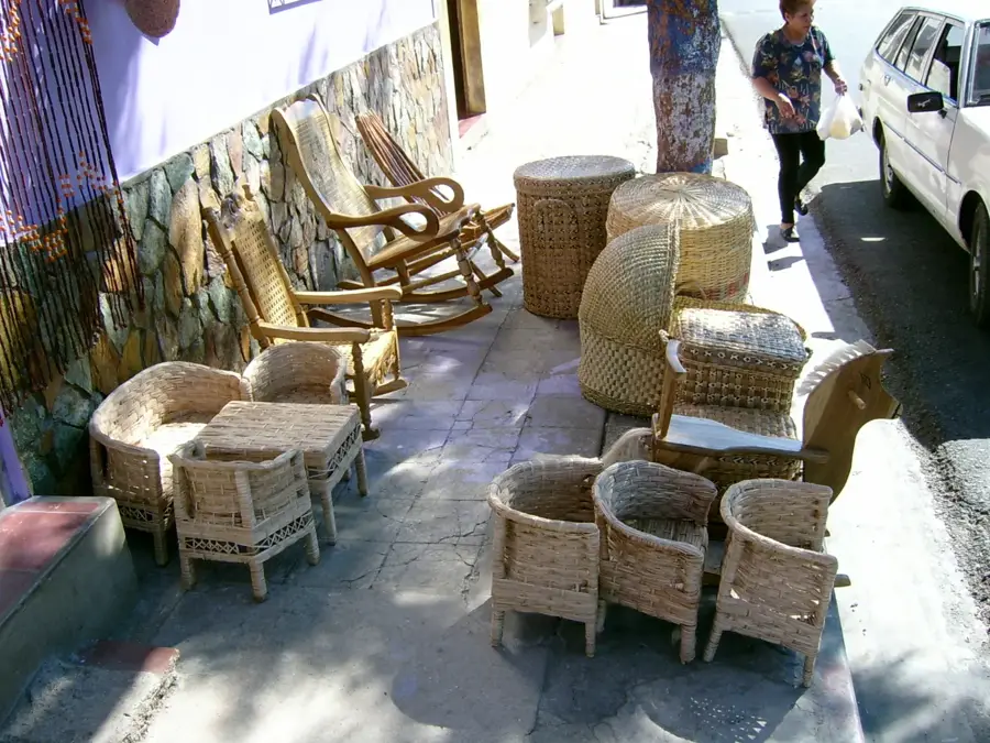
Look for local vendors near the historic ruins and main plaza selling woven textiles or rustic pottery.
Head to the small daily market early in the morning for the freshest local produce and fruits.
Find a spot away from the main pools to relax in the naturally warm river waters surrounded by trees.
The remnants of the historic church provide a quiet, atmospheric spot to admire the old brickwork.
Water temperature…
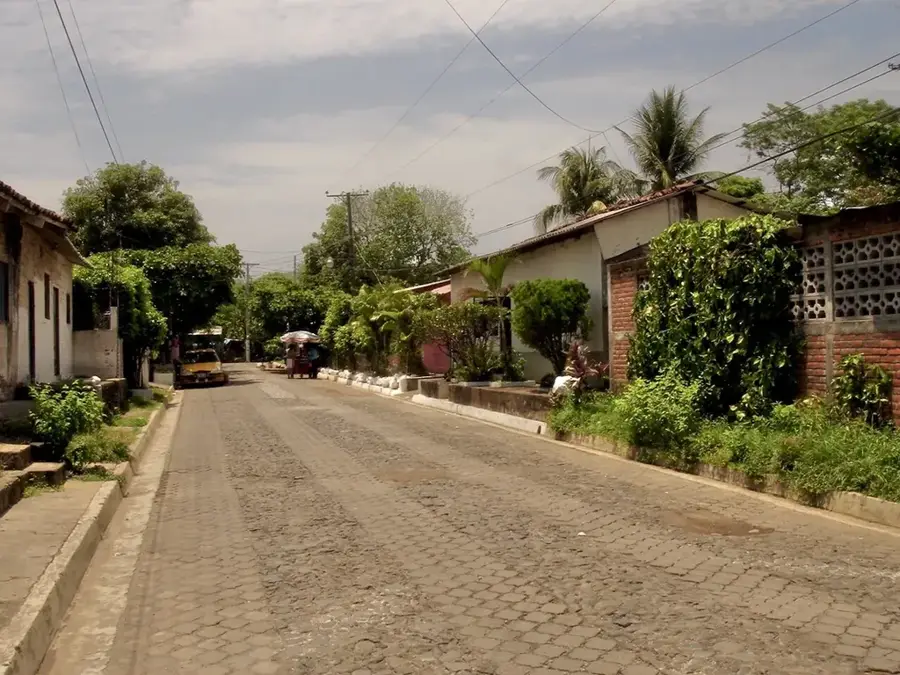
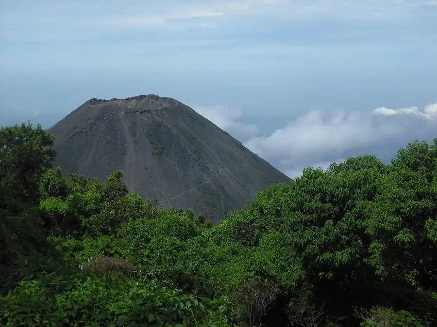
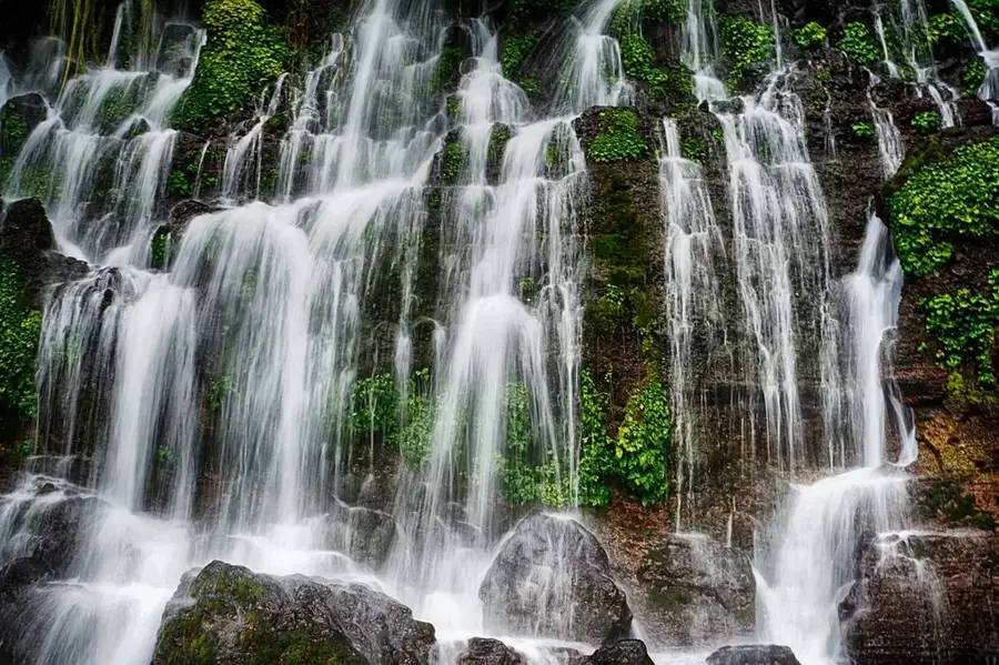
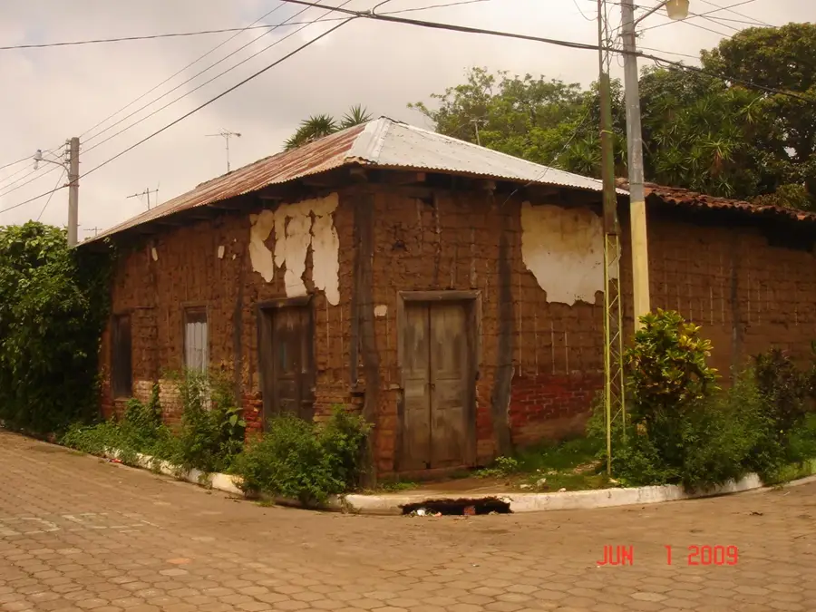
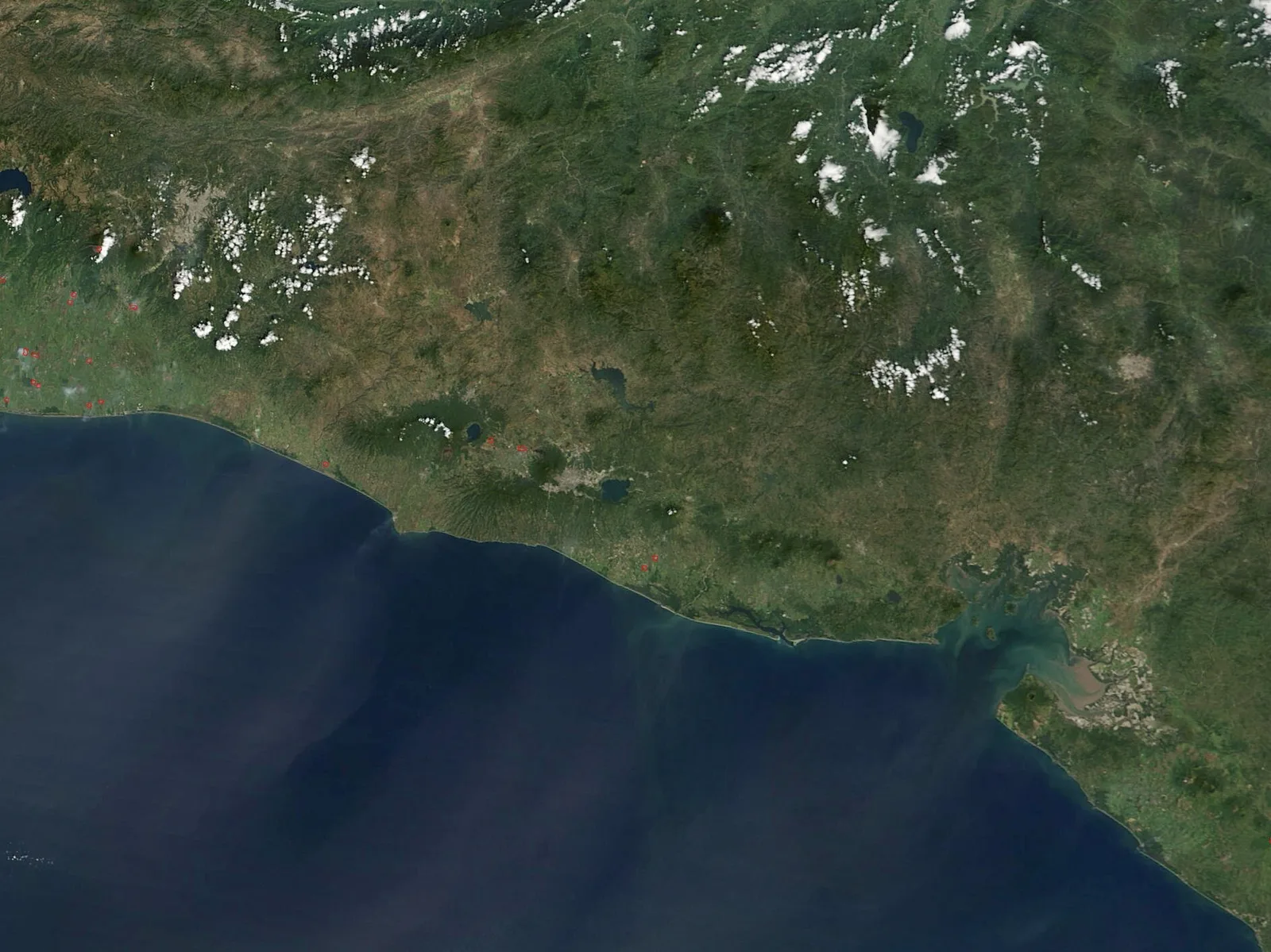
Caluco is a historical municipality located in the Sonsonate Department of western El Salvador, renowned for its rich colonial heritage and natural thermal springs. Originally founded by Pipil tribes during the pre-Columbian era, the town evolved into a significant agricultural center under Spanish rule, particularly for high-quality cocoa production. One of its most prominent architectural landmarks is the ruins of the San Pedro y San Pablo Church, constructed in the 16th century and largely destroyed by the massive Santa Marta earthquake in 1773. Today, Caluco serves as a popular destination for local tourism, primarily due to the Los Chorros de la Calera thermal baths, which are naturally heated by regional volcanic activity. The local economy remains rooted in the cultivation of basic grains and small-scale commerce, while cultural traditions are vibrantly maintained during the patron saint festivities in June. Geographically, the town is situated in a fertile basin surrounded by lush tropical vegetation and enjoys a consistently warm climate throughout the year.
- Location: El Salvador
- Nearby: Nahuizalco (7 km)
- Population: ~19.197 (2019)
Best time to visit & climate
The most pleasant time to visit is Jan, Feb, Dec.
| Jan | Feb | Mar | Apr | May | Jun | Jul | Aug | Sep | Oct | Nov | Dec | |
|---|---|---|---|---|---|---|---|---|---|---|---|---|
| Avg °C | 26 | 27 | 28 | 28 | 28 | 27 | 27 | 27 | 26 | 26 | 26 | 26 |
| Rain mm | 4 | 5 | 8 | 39 | 193 | 232 | 198 | 246 | 283 | 226 | 48 | 10 |
Geography
Facts
- Founded in the pre-Columbian era by Pipil indigenous groups.
- Home to the ruins of the 16th-century San Pedro y San Pablo Church.
- The 1773 Santa Marta earthquake destroyed much of its colonial architecture.
- Famous for the Los Chorros de la Calera natural thermal springs.
- Situated at an average elevation of approximately 380 meters above sea level.
- Was a vital center for cocoa production during the Spanish colonial period.
Explore nearby
Notable places around
Route planner — Car & Motorhome
Where do you start? We build the route here, with stops and country notes along the way.
© OpenStreetMap contributors · OpenRouteService
Frequently asked questions
What is Caluco known for?
Are the thermal baths publicly accessible?
Is the place good for families?
What should I bring?
When is it most crowded?
Caluco: where is it located?
Caluco: when is the best time to visit?
Caluco: why is it worth visiting?

Nearby cities

Nature
More places