Plizio Visual Lab
San Sebastián Salitrillo
ℹ️Practical info — San Sebastián Salitrillo
▾
🌤 Weather — 5 days
📍 Nearby
Sights nearby
💡 Tips
- This city is a great starting point for exploring the surrounding coffee plantations of the Santa Ana department.
- If planning to travel to Guatemala, check the border crossing times in advance as it can get busy.
- The tropical climate means it gets very warm; keep hydrated and plan outdoor activities for the morning.
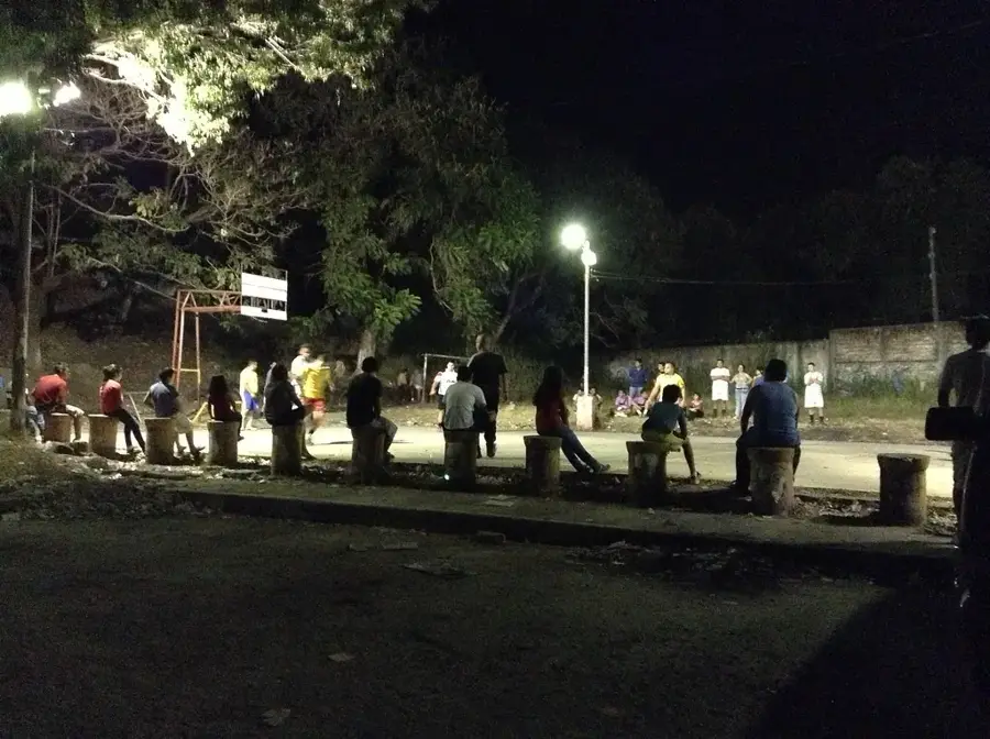
- Taking a local 'chicken bus' is a cultural experience, but always keep an eye on your belongings.
🍽 Food
Sweet plantain treats filled with milk custard, usually found in local morning bakeries.
A staple breakfast item wrapped in banana leaves, available in small local eateries.
A hearty traditional chicken soup served in family-run comedores.
🛍 Shopping · 🧘 Quiet spots
Buy freshly roasted coffee sourced directly from the nearby fincas.
Look for small artisan shops around the town center offering handmade items.
A peaceful place to sit and observe local life in the late afternoon.
Take a tranquil walk outside the main town among the green coffee bushes.
Water temperature…
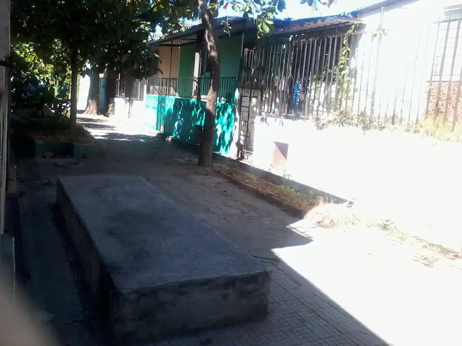
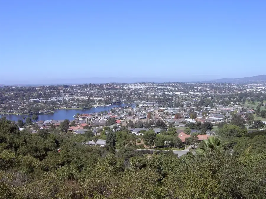
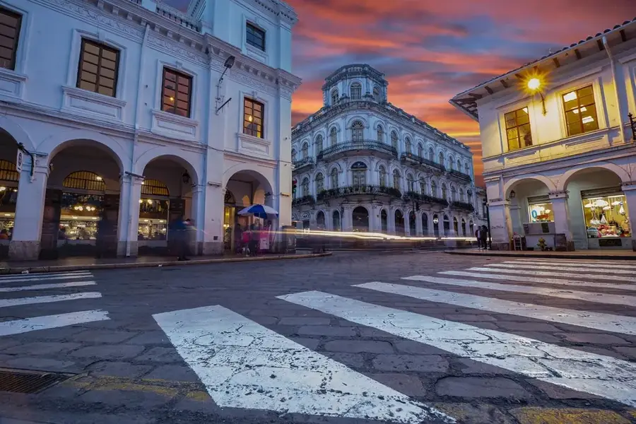
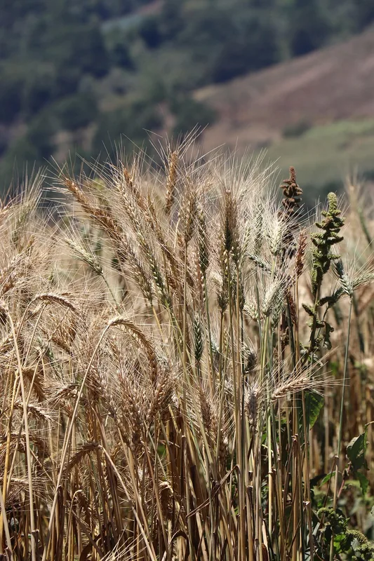
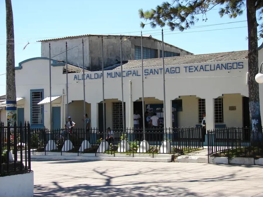
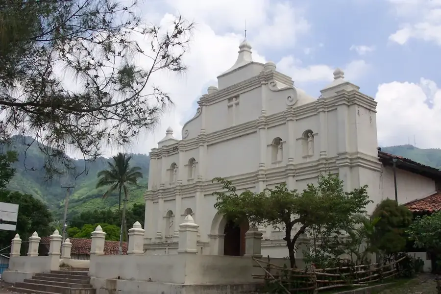
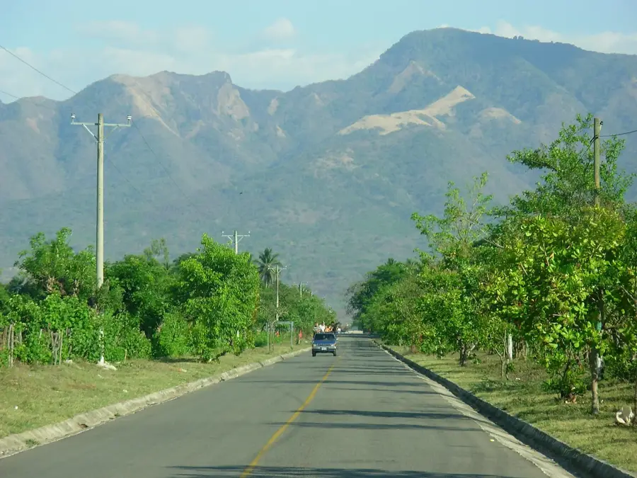
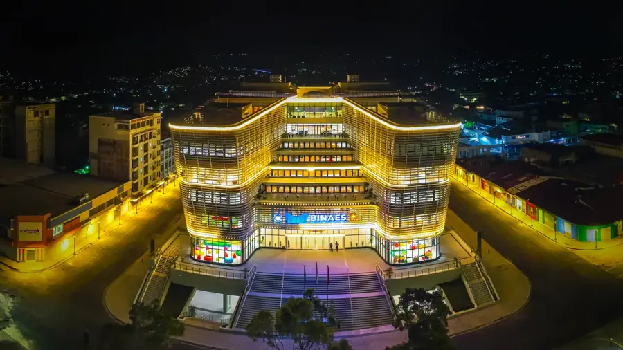
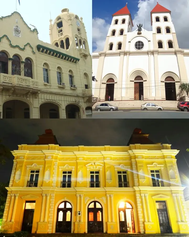
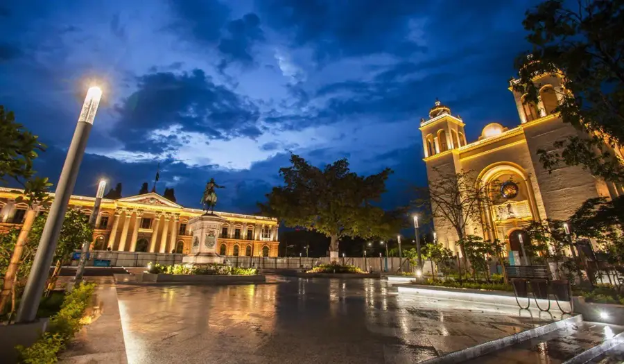
San Sebastián Salitrillo is a municipality in the department of Santa Ana, located in western El Salvador. The city lies in a photogenic region historically renowned for its high-quality coffee production, forming part of the fertile slopes of the Sierra Apaneca-Ilamatepec range. Established in the 19th century, its name refers to the patron saint, Saint Sebastian, and the former saltpeter (salitre) deposits found nearby. Geographically, the area is characterized by a temperate climate influenced by its significant elevation and lush vegetation. In recent years, San Sebastián Salitrillo has transformed from a purely agricultural community into an attractive residential area for the nearby provincial capital of Santa Ana. The local architecture partially preserves a colonial style, especially around the central park and the church. Today, the city serves as a symbol of the transition between rural tradition and urban expansion in the Salvadoran west.
- Location: El Salvador
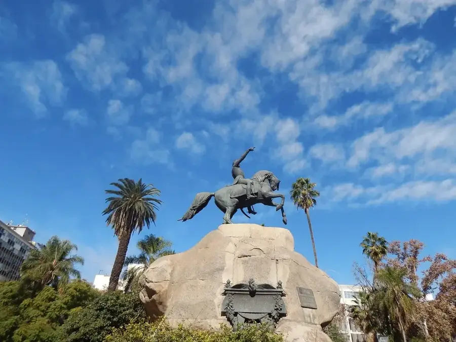
- Top sights: Parque Chantecuán · Monumento al Paracaidista Salvadoreño
- Nearby: Panchimalco (5 km)
- Population: ~329.708 (2014)
Best time to visit & climate
The most pleasant time to visit is Jan, Nov, Dec.
| Jan | Feb | Mar | Apr | May | Jun | Jul | Aug | Sep | Oct | Nov | Dec | |
|---|---|---|---|---|---|---|---|---|---|---|---|---|
| Avg °C | 27 | 28 | 29 | 29 | 28 | 27 | 28 | 27 | 26 | 26 | 26 | 26 |
| Rain mm | 3 | 4 | 6 | 32 | 169 | 193 | 155 | 198 | 234 | 204 | 41 | 10 |
Geography
Facts
- Attained the status of a city (Ciudad) in 2005.
- Located at an altitude of approximately 730 meters above sea level.
- Key component of the coffee route in western El Salvador.
- The name 'Salitrillo' is derived from historical saltpeter deposits.
- Celebrates its patronal festival for San Sebastián on January 20.
- Part of the Santa Ana metropolitan influence zone.
Explore nearby
Notable places around
Route planner — Car & Motorhome
Where do you start? We build the route here, with stops and country notes along the way.
© OpenStreetMap contributors · OpenRouteService
Sights in the town San Sebastián Salitrillo (2)
Frequently asked questions
What characterizes San Sebastián Salitrillo?
Is there nature nearby?
What is the infrastructure like?
Is the city a good destination for day trips?
What language should one speak?
San Sebastián Salitrillo: where is it located?
San Sebastián Salitrillo: what is there to see?
San Sebastián Salitrillo: when is the best time to visit?
San Sebastián Salitrillo: why is it worth visiting?

Nearby cities
History & landmarks


More places