Plizio Visual Lab
Meanguera Island

Weather…
Water temperature…
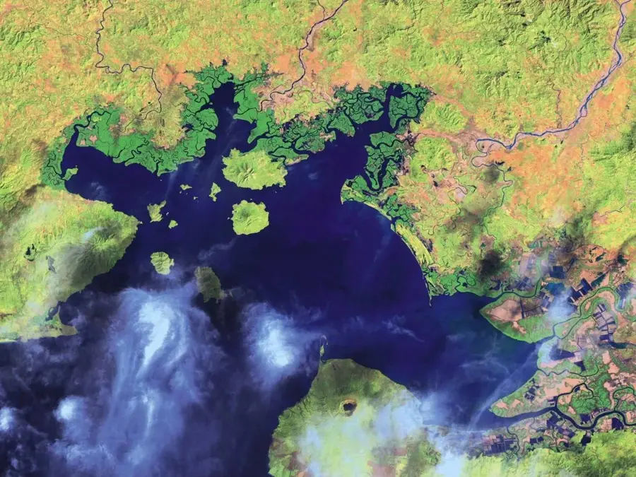
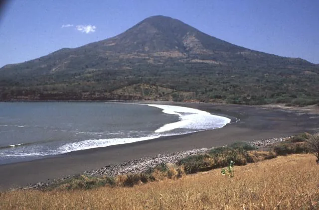
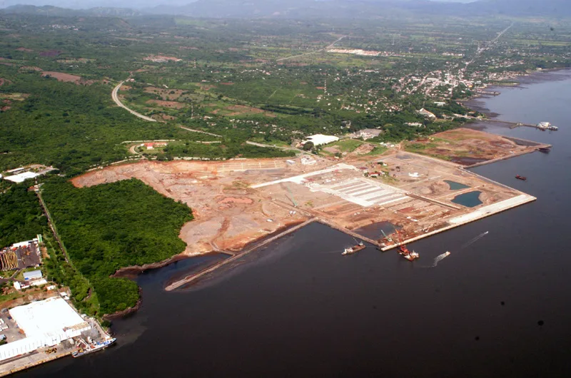
Meanguera Island is the largest Salvadoran island in the Gulf of Fonseca, serving as the seat of the Meanguera del Golfo municipality in the La Unión Department. Spanning approximately 16.64 square kilometers, the island is of volcanic origin and features a rugged, mountainous topography. Historically, the island was part of a territorial dispute involving El Salvador, Honduras, and Nicaragua until the International Court of Justice awarded sovereignty to El Salvador in 1992. The local population primarily engages in artisanal fishing, though tourism is steadily increasing due to the island's pristine beaches and tranquil environment. The vegetation consists mainly of tropical dry forest, while the surrounding waters are rich in marine biodiversity. Meanguera acts as a significant logistical hub in the gulf, offering visitors a glimpse into traditional island life and opportunities for hiking to the summit of Cerro El Vigía.
- Location: El Salvador
- Nearby: Concepción de Oriente (5 km)
Best time to visit & climate
The most pleasant time to visit is Jan, Feb, Dec.
| Jan | Feb | Mar | Apr | May | Jun | Jul | Aug | Sep | Oct | Nov | Dec | |
|---|---|---|---|---|---|---|---|---|---|---|---|---|
| Avg °C | 28 | 29 | 30 | 30 | 29 | 29 | 29 | 29 | 28 | 28 | 28 | 28 |
| Rain mm | 1 | 2 | 8 | 36 | 220 | 230 | 120 | 182 | 287 | 271 | 48 | 10 |
📋 Practical info
Geography
Facts
- Largest island in El Salvador, covering about 16.64 km².
- Sovereignty was officially granted to El Salvador in 1992.
- Forms its own municipality called Meanguera del Golfo.
- The highest elevation on the island is Cerro El Vigía.
- Of volcanic origin with a rugged and mountainous landscape.
- The primary economic activity is artisanal fishing.
Explore nearby
Notable places around
Route planner — Car & Motorhome
Where do you start? We build the route here, with stops and country notes along the way.
© OpenStreetMap contributors · OpenRouteService
Sights in the town Meanguera Island (1)
Sights nearby
Frequently asked questions
How do I get to the island?
Are there hotels?
Is it a touristy place?
Do I need cash?
How is the beach?
Meanguera Island: where is it located?
Meanguera Island: when is the best time to visit?
Meanguera Island: why is it worth visiting?

Nearby cities


More places