Plizio Visual Lab
Conchagua Volcano

Weather…
Water temperature…
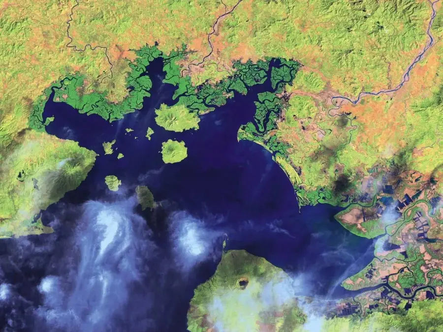
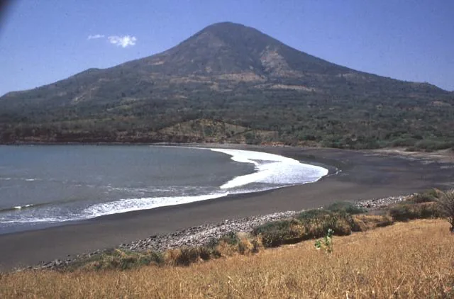
Conchagua Volcano, also known as Amapala, is located in the far southeastern corner of El Salvador in the La Unión Department, overlooking the Gulf of Fonseca. Rising to an elevation of approximately 1.225 meters above sea level, the volcanic massif consists of two primary peaks: Cerro del Ocote and Cerro de la Bandera. Geologically, it is a stratovolcano with no historically recorded eruptions, classifying it as currently dormant. The slopes are covered in dense cloud forests that host a rich variety of flora and fauna while serving as a vital watershed for the surrounding coastal areas. The "Espíritu de la Montaña" viewpoint provides a dramatic panoramic view of the islands in the gulf and the neighboring territories of Honduras and Nicaragua. In recent years, the site has gained international prominence due to the proposed "Bitcoin City" project, which aims to harness geothermal energy from the area for urban infrastructure.
- Location: El Salvador
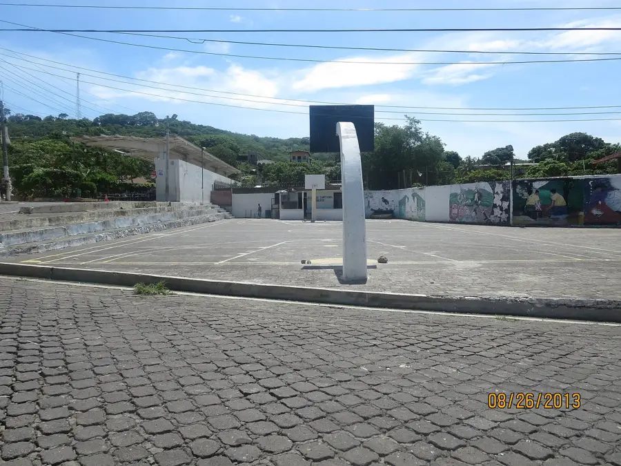
- Nearby: Santa Rosa de Lima (5 km)
Best time to visit & climate
The most pleasant time to visit is Jan, Feb, Dec.
| Jan | Feb | Mar | Apr | May | Jun | Jul | Aug | Sep | Oct | Nov | Dec | |
|---|---|---|---|---|---|---|---|---|---|---|---|---|
| Avg °C | 28 | 28 | 29 | 29 | 29 | 28 | 29 | 29 | 28 | 28 | 28 | 28 |
| Rain mm | 2 | 3 | 7 | 37 | 211 | 224 | 156 | 216 | 281 | 250 | 49 | 7 |
📋 Practical info
Geography
Facts
- Maximum elevation of 1,225 meters above sea level.
- Features two distinct peaks: Cerro del Ocote and Cerro de la Bandera.
- There are no historically documented eruptions for this volcano.
- Provides a unique view of El Salvador, Honduras, and Nicaragua.
- Home to rare coastal cloud forest ecosystems and diverse wildlife.
- Primary site for the proposed geothermal power of 'Bitcoin City'.
Explore nearby
Notable places around
Route planner — Car & Motorhome
Where do you start? We build the route here, with stops and country notes along the way.
© OpenStreetMap contributors · OpenRouteService
Sights nearby
Frequently asked questions
Is the hike difficult?
Is there a viewpoint?
Is camping allowed?
Do I need sturdy footwear?
What is the best season?
Conchagua Volcano: where is it located?
Conchagua Volcano: when is the best time to visit?
Conchagua Volcano: why is it worth visiting?

Nearby cities


More places