Plizio Visual Lab
Gulf of Fonseca
Weather…
Water temperature…
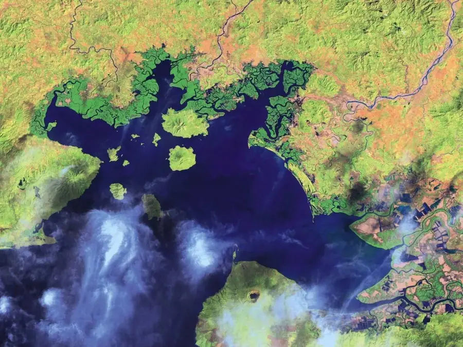
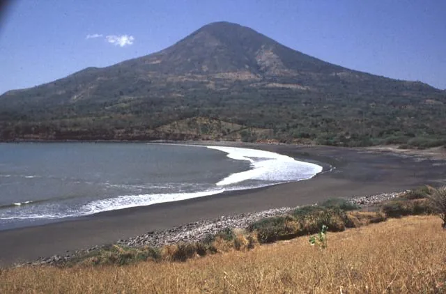
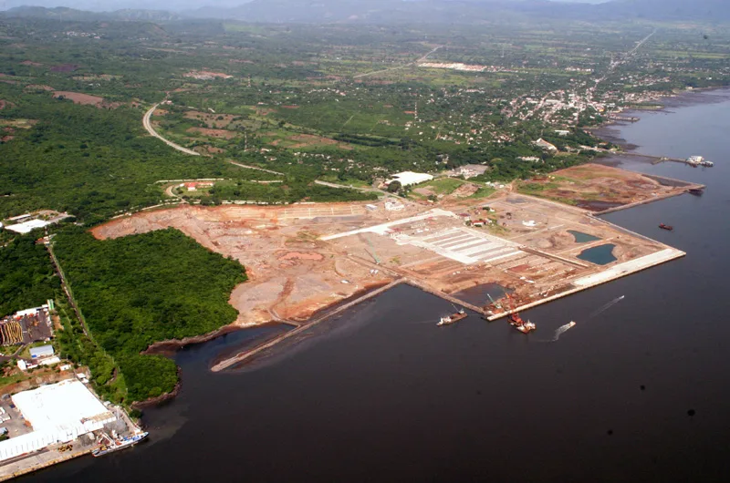
The Gulf of Fonseca is a strategically important body of water on the Pacific coast of Central America, shared by El Salvador, Honduras, and Nicaragua. It was discovered in 1522 by Spanish explorer Andrés Niño and named after his patron, Bishop Juan Rodríguez de Fonseca. The geography of the gulf is characterized by numerous volcanic islands, including Meanguera and Conchagüita on the Salvadoran side. Ecologically, the gulf is rich in mangrove forests and serves as a significant habitat for migratory birds and marine species. It plays a central role in local fishing and regional trade, though it has also been the subject of long-standing territorial debates among the neighboring nations. Recently, the gulf has seen increased tourism development, with its pristine islands and dramatic volcanic landscape serving as primary attractions.
- Location: El Salvador
- Nearby: Conchagua (12 km)
Best time to visit & climate
The most pleasant time to visit is Jan, Nov, Dec.
| Jan | Feb | Mar | Apr | May | Jun | Jul | Aug | Sep | Oct | Nov | Dec | |
|---|---|---|---|---|---|---|---|---|---|---|---|---|
| Avg °C | 27 | 28 | 29 | 30 | 28 | 27 | 28 | 28 | 27 | 26 | 26 | 26 |
| Rain mm | 3 | 3 | 7 | 37 | 198 | 214 | 111 | 160 | 250 | 231 | 39 | 17 |
📋 Practical info
Geography
Facts
- The gulf covers a total surface area of approximately 3,200 square kilometers.
- Spanish explorer Andrés Niño officially discovered the gulf in 1522.
- Meanguera Island is the largest inhabited Salvadoran island in the gulf.
- Three volcanoes border the entrance to the gulf: Cosigüina, Conchagua, and Amapala.
- The region is recognized as a Ramsar site for the protection of wetlands.
- The maximum water depth within the gulf is approximately 27 meters.
Explore nearby
Notable places around
Route planner — Car & Motorhome
Where do you start? We build the route here, with stops and country notes along the way.
© OpenStreetMap contributors · OpenRouteService
Sights in the town Gulf of Fonseca (1)
Sights nearby
Frequently asked questions
What is the best way to get to the Gulf of Fonseca?
Are the islands in the Gulf inhabited?
Are there organized boat tours there?
Is the gulf safe for tourists?
What is the best time for boat trips?
Gulf of Fonseca: where is it located?
Gulf of Fonseca: when is the best time to visit?
Gulf of Fonseca: why is it worth visiting?

Nearby cities


More places