Plizio Visual Lab
Douglas
ℹ️Practical info — Douglas
▾
🌤 Weather — 5 days
📍 Nearby
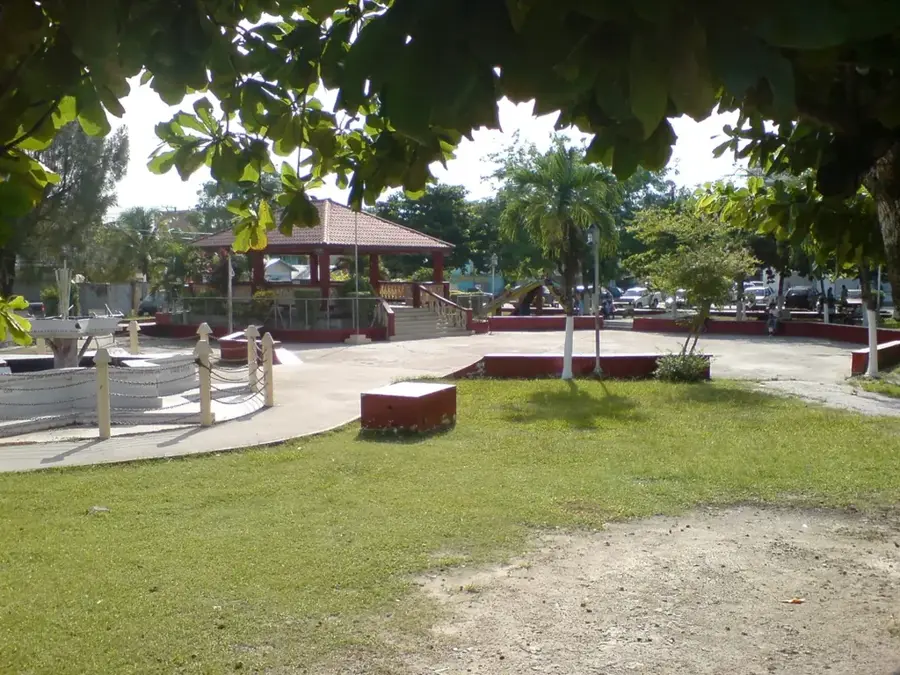
Sights nearby
💡 Tips
- Cash is king here; bring enough with you as ATMs are rare in the village.
- Mosquito repellent is an absolute must, especially if you spend time near the river.
- Spanish is very widely spoken here alongside English and Creole.
- Watch out for large sugar cane trucks on the narrow roads during harvest season.
- Crossing into Mexico via the river here is informal; stick to official checkpoints for onward travel.
🍽 Food
Grab these delicious snacks in the morning from small food stands in the village center.
Often sold on weekends by locals directly from their houses.
Look out for roadside vendors near the riverbank for a cooling drink.
🛍 Shopping · 🧘 Quiet spots
Check the small grocery stalls for homemade habanero pepper sauces.
Ask around the village for artisans who embroider traditional Mestizo clothing.
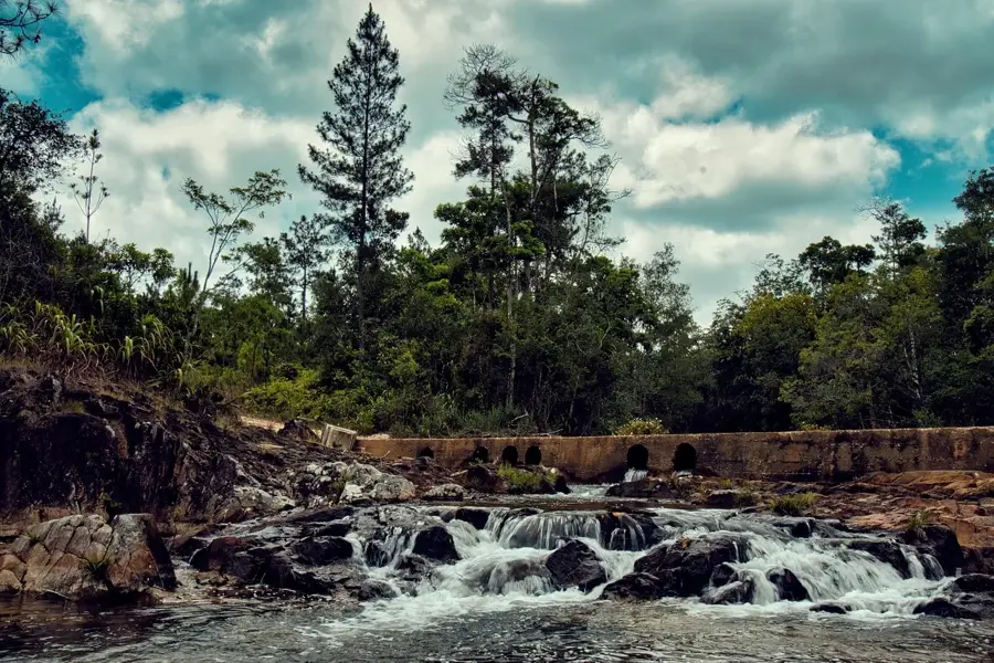
A peaceful spot to gaze across the river towards the Mexican side.
The quiet country roads surrounding the village are good for a relaxed walk.
Water temperature…
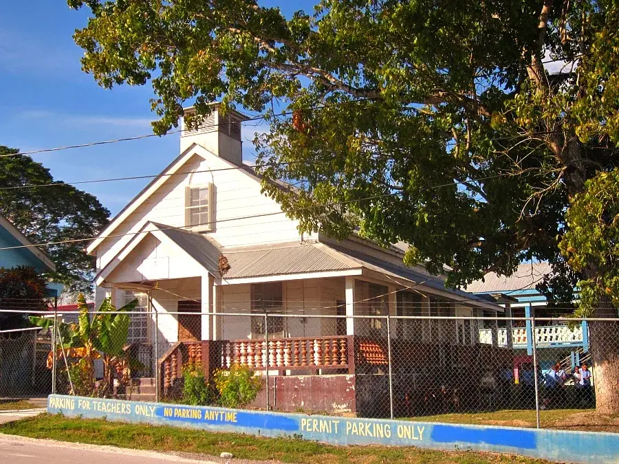
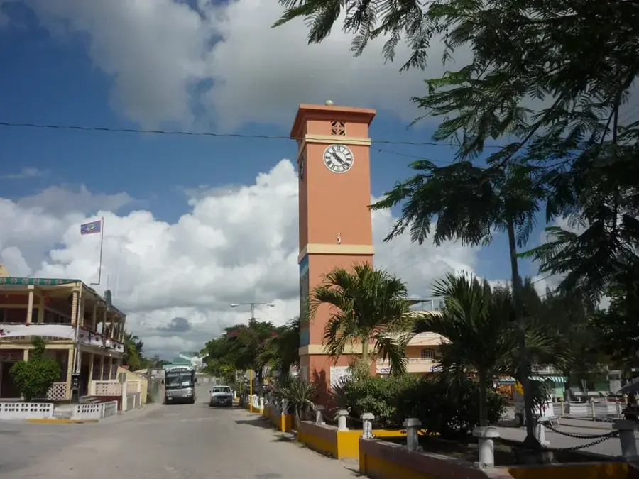
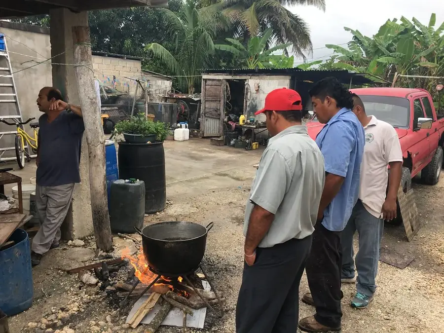
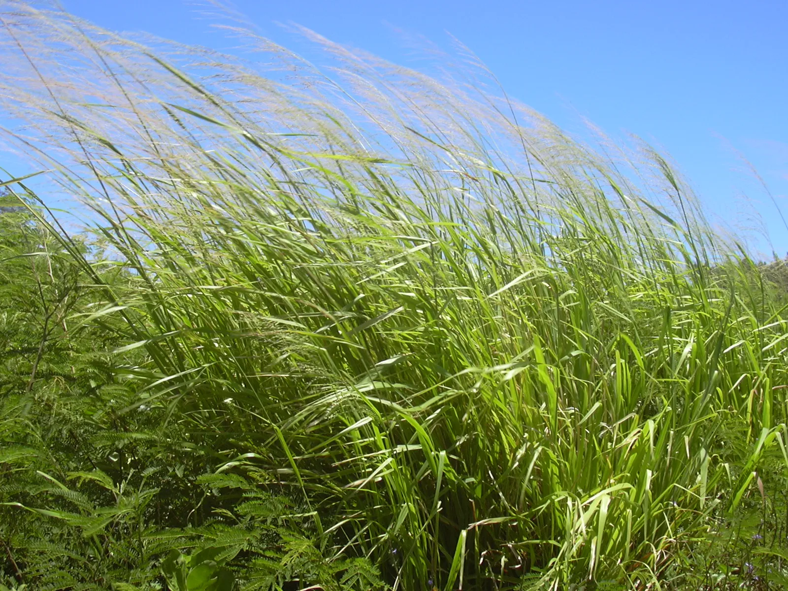
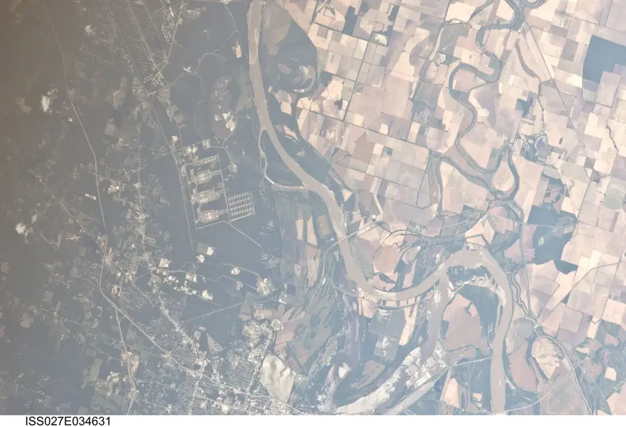
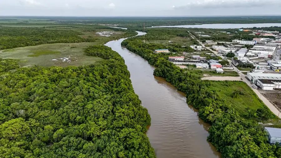
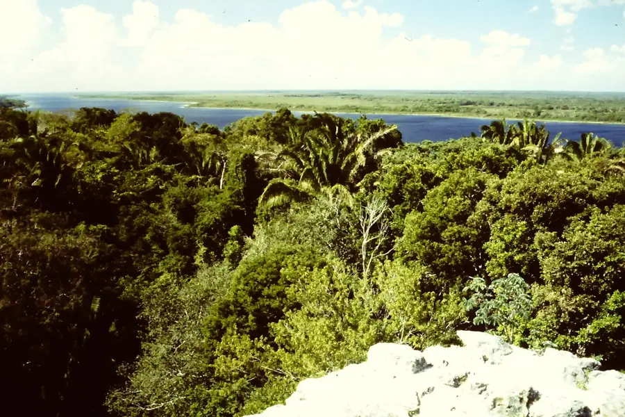
Douglas is a village located in the Orange Walk District of northern Belize, situated on the banks of the Rio Hondo, which serves as the international border with Mexico. The community is deeply rooted in agriculture, with sugarcane cultivation being the primary economic pillar for the local population. Historically, the Rio Hondo was a crucial transport route for the mahogany trade and later for the burgeoning sugar industry during the colonial era. Residents maintain strong cultural and familial ties with communities across the border, leading to a unique blend of Belizean and Mexican traditions. The surrounding terrain features fertile alluvial soils and patches of tropical broadleaf forest that support a variety of local wildlife. Douglas serves as a quintessential example of rural life in northern Belize, where the daily rhythm is dictated by the seasonal cycles of the sugar harvest.
- Location: Belize
- Nearby: Cockscomb Basin (5 km)
- Population: ~586 (2025)
Best time to visit & climate
The most pleasant time to visit is Jan, Feb, Dec.
| Jan | Feb | Mar | Apr | May | Jun | Jul | Aug | Sep | Oct | Nov | Dec | |
|---|---|---|---|---|---|---|---|---|---|---|---|---|
| Avg °C | 23 | 25 | 26 | 28 | 28 | 27 | 27 | 27 | 27 | 25 | 24 | 23 |
| Rain mm | 61 | 38 | 33 | 39 | 118 | 206 | 122 | 173 | 190 | 207 | 119 | 76 |
Geography
Facts
- Douglas is positioned on the Rio Hondo, the natural boundary between Belize and Mexico.
- Sugar cane production is the dominant economic activity for the village residents.
- The population is primarily of Mestizo descent, blending Maya and Spanish heritage.
- The river was historically significant for the 19th-century mahogany logging industry.
- Douglas is located approximately 12 miles northwest of Orange Walk Town.
- The village maintains close trans-border economic relations with Mexican neighbors.
Explore nearby
Notable places around
Route planner — Car & Motorhome
Where do you start? We build the route here, with stops and country notes along the way.
© OpenStreetMap contributors · OpenRouteService
Frequently asked questions
Where is Douglas Village located?
Is the place well-known for tourism?
What language is spoken in Douglas?
What can you do at the Rio Hondo?
How is the road connection to Orange Walk Town?
Douglas: where is it located?
Douglas: when is the best time to visit?
Douglas: why is it worth visiting?

Nearby cities

Nature
More places