Plizio Visual Lab
San Narciso
ℹ️Practical info — San Narciso
▾
🌤 Weather — 5 days
📍 Nearby
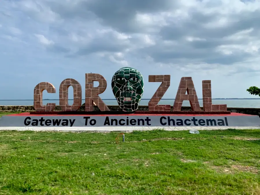
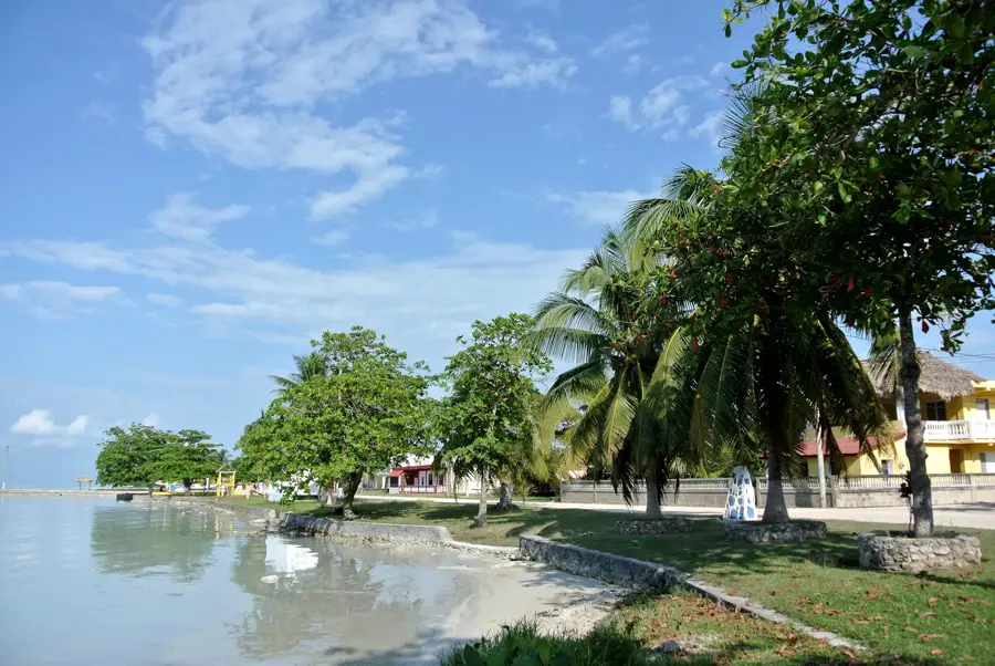
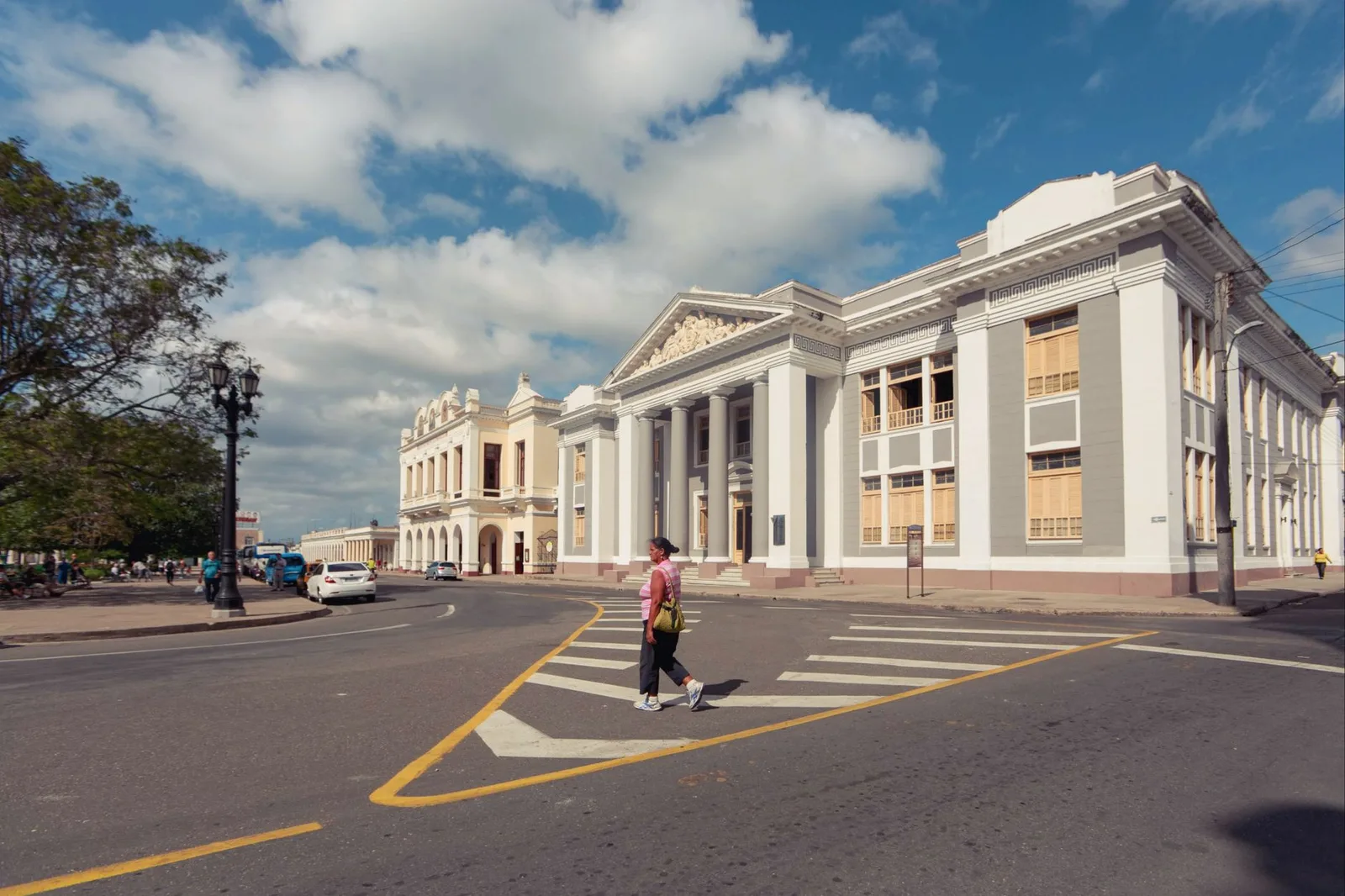
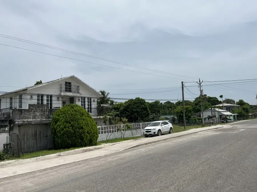
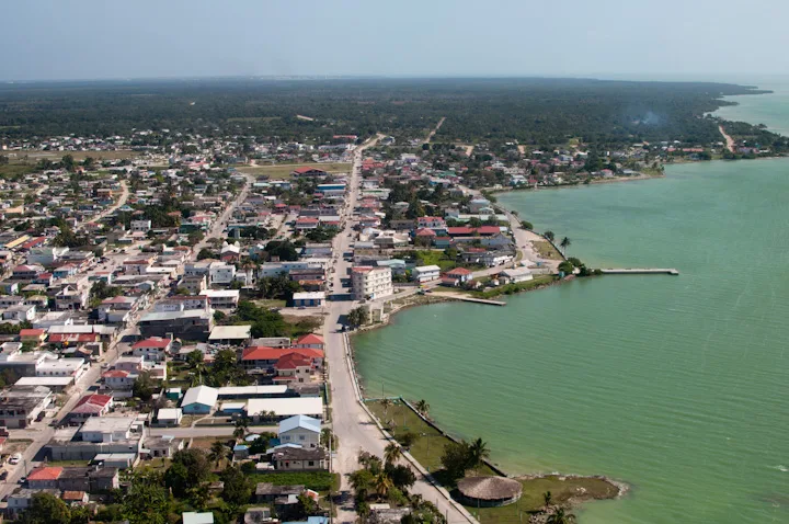
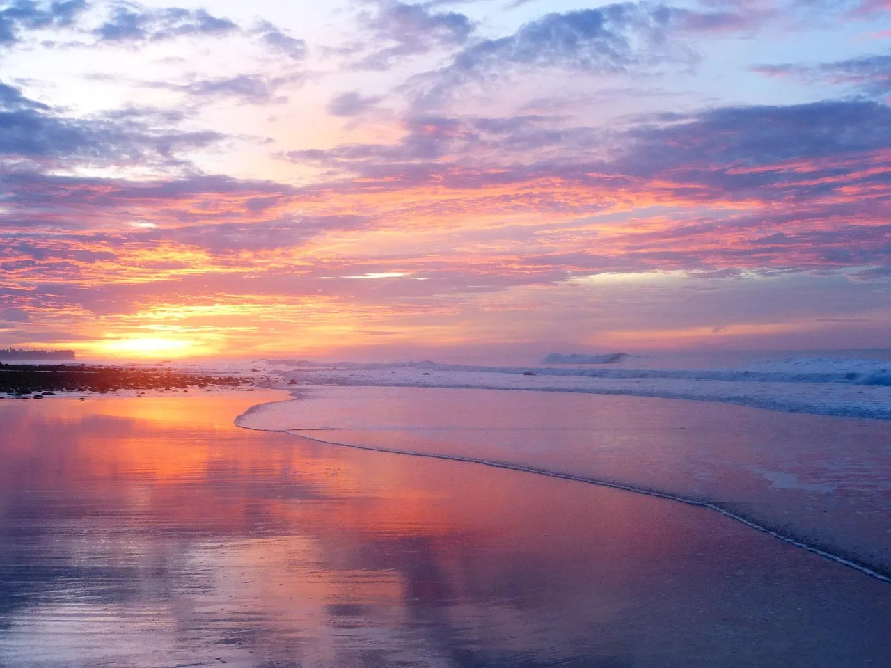
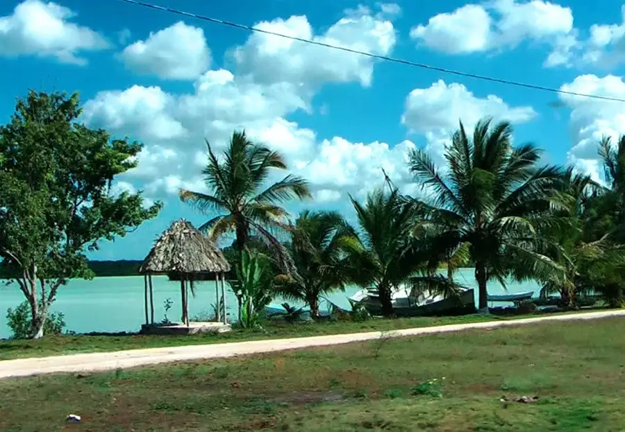
Sights nearby
💡 Tips
- Visit during the sugarcane harvest (zafra) to see the massive trucks in action.
- Cash is essential as ATMs are scarce; bring small Belizean dollar notes.
- Local buses connect to Corozal Town, but schedules can be irregular.
- A strong mosquito repellent is a must, especially during the rainy season.
🍽 Food
Look for local vendors pressing fresh juice near the fields for a refreshing treat.
A Belizean staple cooked authentically at small village eateries.
Buy fresh papayas and mangoes directly from roadside stands.
🛍 Shopping · 🧘 Quiet spots
Pick up seasonal fruits and locally grown vegetables directly from the farmers.
Occasionally sold by artisans from their own homes as you walk through the village.
Take a walk along the dirt paths bordering the vast, quiet cane fields.
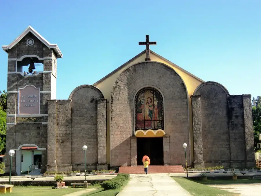
The area around the local church is peaceful and shaded, offering a quiet respite.
Water temperature…
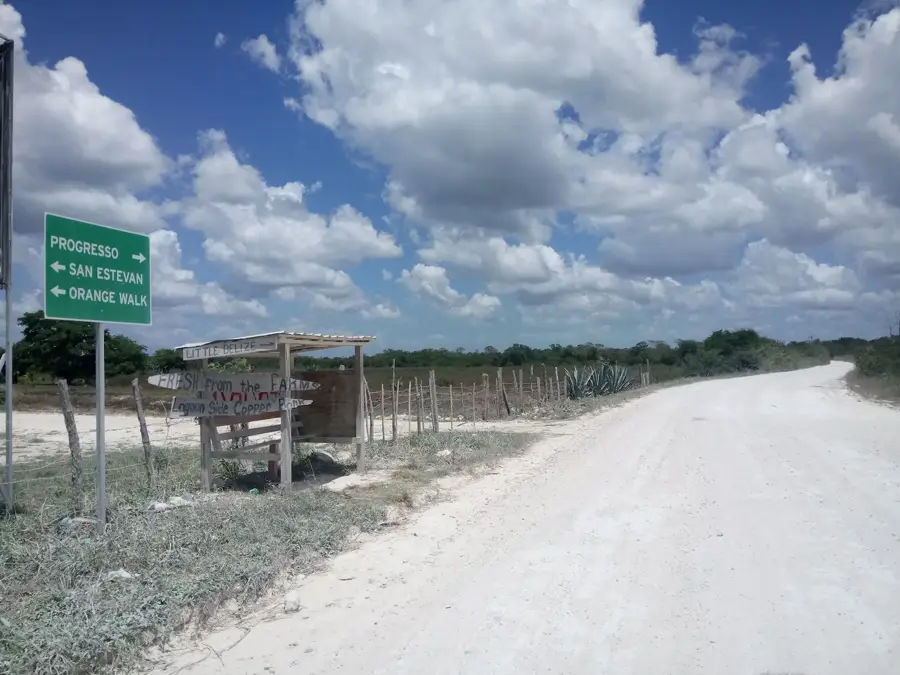
San Narciso is a prominent village in the Corozal District of Belize, widely recognized for its central role in the northern sugarcane industry. The settlement is situated in a flat, exceptionally fertile region and is home to a predominantly Mestizo population, many of whom are descendants of refugees from the Caste War of Yucatan. The village's architecture and social fabric reflect these deep historical roots, with traditional customs and the Spanish language remaining integral to daily life. San Narciso stands out as one of the most organized rural communities in the country, boasting its own credit union and numerous agricultural cooperatives. Economic life is almost entirely centered on the cultivation and logistical transport of sugarcane to the nearby Tower Hill factory. Beyond farming, local crafts and commerce allow the village to serve as a vital educational and trade hub for smaller neighboring settlements.
- Location: Belize
- Nearby: San Felipe (Corozal) (6 km)
- Population: ~2.784 (2025)
Best time to visit & climate
The most pleasant time to visit is Jan, Feb, Dec.
| Jan | Feb | Mar | Apr | May | Jun | Jul | Aug | Sep | Oct | Nov | Dec | |
|---|---|---|---|---|---|---|---|---|---|---|---|---|
| Avg °C | 23 | 25 | 26 | 28 | 28 | 27 | 27 | 27 | 27 | 25 | 24 | 23 |
| Rain mm | 61 | 38 | 33 | 39 | 118 | 206 | 122 | 173 | 190 | 207 | 119 | 76 |
Geography
Facts
- San Narciso was established in the 19th century by refugees from the Caste War.
- The village operates its own credit union, a rarity for a rural settlement of its size.
- Sugarcane is the overwhelming primary crop grown in the surrounding fields.
- It is located approximately midway between the district capitals of Corozal and Orange Walk.
- The community maintains a high level of literacy and educational standards for the region.
- San Narciso serves as a primary hub for agricultural equipment and supplies in the district.
Explore nearby
Notable places around
Route planner — Car & Motorhome
Where do you start? We build the route here, with stops and country notes along the way.
© OpenStreetMap contributors · OpenRouteService
Frequently asked questions
Where is San Narciso located?
What is the heart of the village?
How do the residents earn their living?
What language is spoken in San Narciso?
Is San Narciso easily accessible for tourists?
San Narciso: where is it located?
San Narciso: when is the best time to visit?
San Narciso: why is it worth visiting?

Nearby cities