Plizio Visual Lab
Hondo River
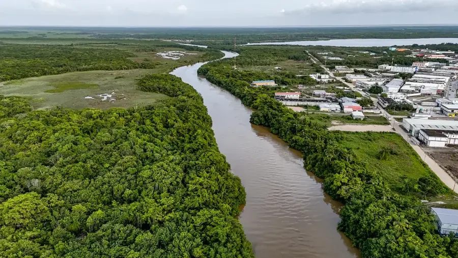
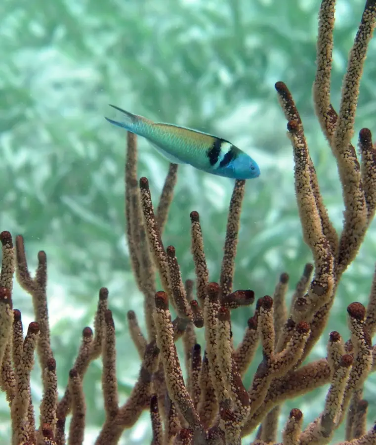
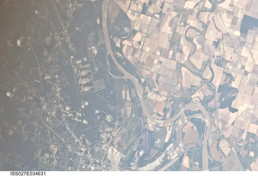
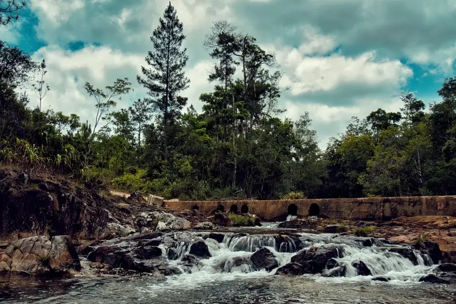
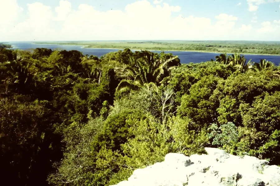
The Río Hondo is a significant river in Central America, forming the natural border between Belize and Mexico for approximately 209 kilometers. It originates in the Petén Basin of Guatemala, where it is known as the Río Azul, and is fed by the confluence of several streams. The river flows in a northeasterly direction, eventually emptying into Chetumal Bay. Historically, the Río Hondo was a major waterway for the Maya civilization and later for the transportation of mahogany and other timbers during the colonial era. Today, the river is a vital ecological corridor, its banks lined with dense tropical forest that provides habitat for a variety of wildlife, including crocodiles, river turtles, and numerous bird species. Its calm waters are also important for the rare West Indian Manatee.
- Location: Belize
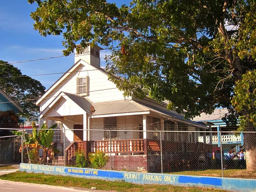
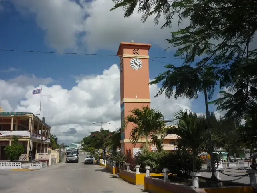
- Nearby: Burrell Boom (4 km)
Best time to visit & climate
The most pleasant time to visit is Jan, Feb, Dec.
| Jan | Feb | Mar | Apr | May | Jun | Jul | Aug | Sep | Oct | Nov | Dec | |
|---|---|---|---|---|---|---|---|---|---|---|---|---|
| Avg °C | 23 | 25 | 26 | 28 | 28 | 27 | 27 | 27 | 27 | 25 | 24 | 23 |
| Rain mm | 61 | 38 | 33 | 39 | 118 | 206 | 122 | 173 | 190 | 207 | 119 | 76 |
📋 Practical info
Geography
Facts
- Border river to Mexico
- Northern Belize
- Important waterway
Explore nearby
Notable places around
Route planner — Car & Motorhome
Where do you start? We build the route here, with stops and country notes along the way.
© OpenStreetMap contributors · OpenRouteService
Sights nearby
Frequently asked questions
What is the significance of the Río Hondo?
Can you go boating on the river?
Are there crocodiles?
Can you swim in the river?
How do you reach the river?
Hondo River: where is it located?
Hondo River: when is the best time to visit?
Hondo River: why is it worth visiting?

Nearby cities


Nature
More places