Plizio Visual Lab
Sierra de Agua

Weather…
Water temperature…
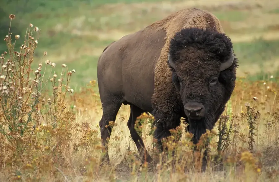
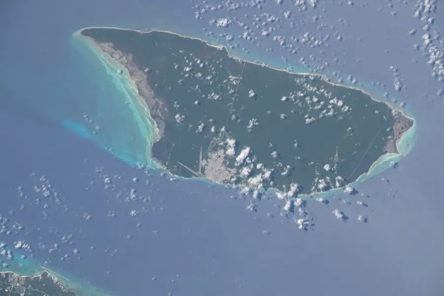
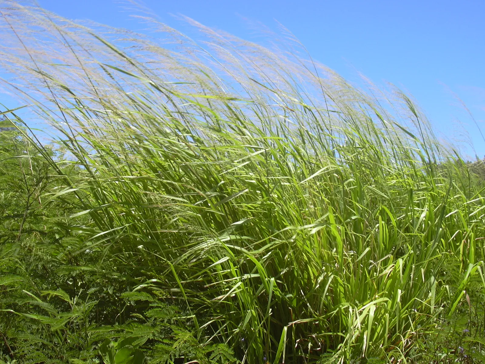
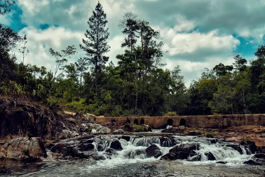
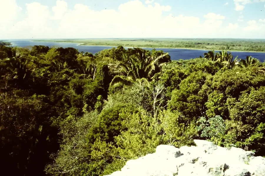
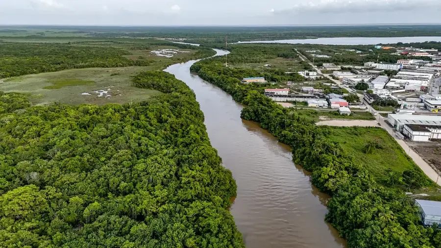
The Sierra de Agua is a distinct, north-south trending ridge within the Maya Mountains of southern Belize, located primarily in the Toledo District. Its name, which translates to 'Mountain of Water,' aptly describes its role as a critical hydrological divide. The ridge intercepts moisture-laden winds from the Caribbean, resulting in extremely high rainfall that feeds the headwaters of major rivers like the Rio Grande and the Golden Stream. This constant humidity sustains an exceptionally lush and dense evergreen tropical rainforest, home to a rich array of flora and fauna, including many rare amphibians and orchids. The steep, often cloud-shrouded slopes are composed of some of the oldest volcanic rocks in the country, creating a dramatic and inaccessible landscape that remains one of the least explored areas in Belize.
- Location: Belize
- Nearby: Blue Creek Village (6 km)
Best time to visit & climate
The most pleasant time to visit is Jan–Mar.
| Jan | Feb | Mar | Apr | May | Jun | Jul | Aug | Sep | Oct | Nov | Dec | |
|---|---|---|---|---|---|---|---|---|---|---|---|---|
| Avg °C | 23 | 24 | 26 | 28 | 28 | 27 | 27 | 27 | 27 | 25 | 24 | 23 |
| Rain mm | 101 | 55 | 45 | 34 | 118 | 230 | 149 | 174 | 198 | 243 | 170 | 126 |
📋 Practical info
Geography
Explore nearby
Notable places around
Route planner — Car & Motorhome
Where do you start? We build the route here, with stops and country notes along the way.
© OpenStreetMap contributors · OpenRouteService
Sights nearby
Frequently asked questions
What is the Sierra de Agua?
Are there many rivers there?
What is the vegetation like?
Can you hike in the Sierra de Agua?
When should the region be avoided?
Sierra de Agua: where is it located?
Sierra de Agua: when is the best time to visit?
Sierra de Agua: why is it worth visiting?

Nearby cities


Nature
More places