Plizio Visual Lab
San Antonio (Rio Hondo)

ℹ️Practical info — San Antonio (Rio Hondo)
▾
🌤 Weather — 5 days
📍 Nearby
Sights nearby
💡 Tips
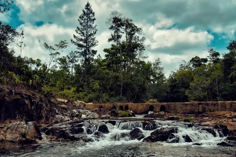
- Bring plenty of mosquito repellent, especially when walking near the Rio Hondo river.
- Cash is essential here; ATMs are practically non-existent in this small village.
- If you want to explore the river, ask around for a local fisherman willing to offer a boat ride.
- The dry season (February to May) is the most reliable time for driving on the unpaved local roads.
🍽 Food
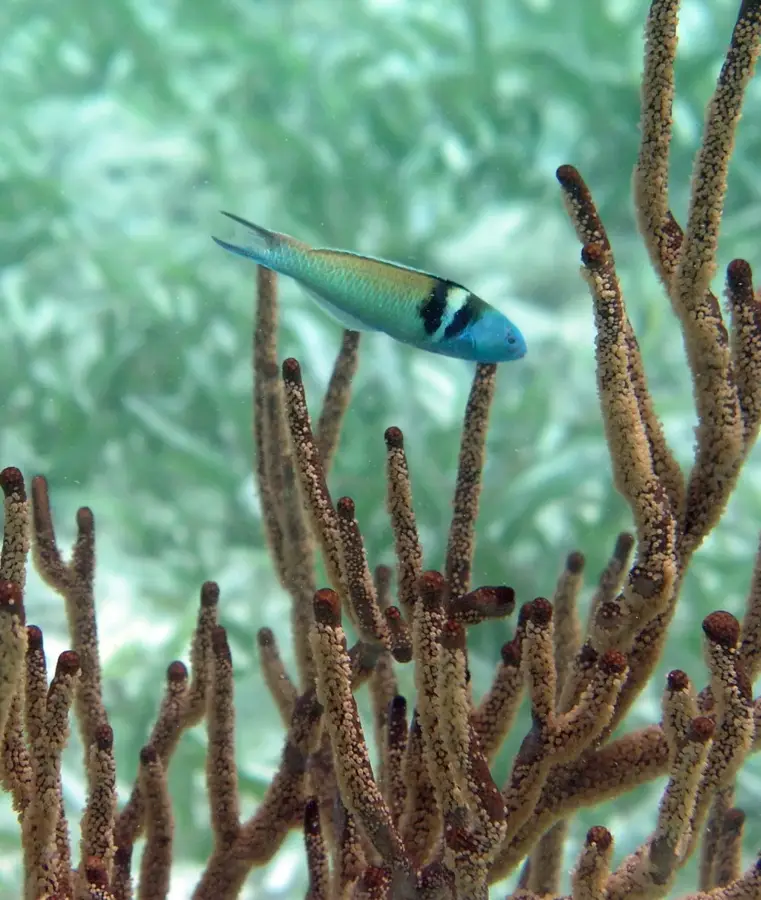
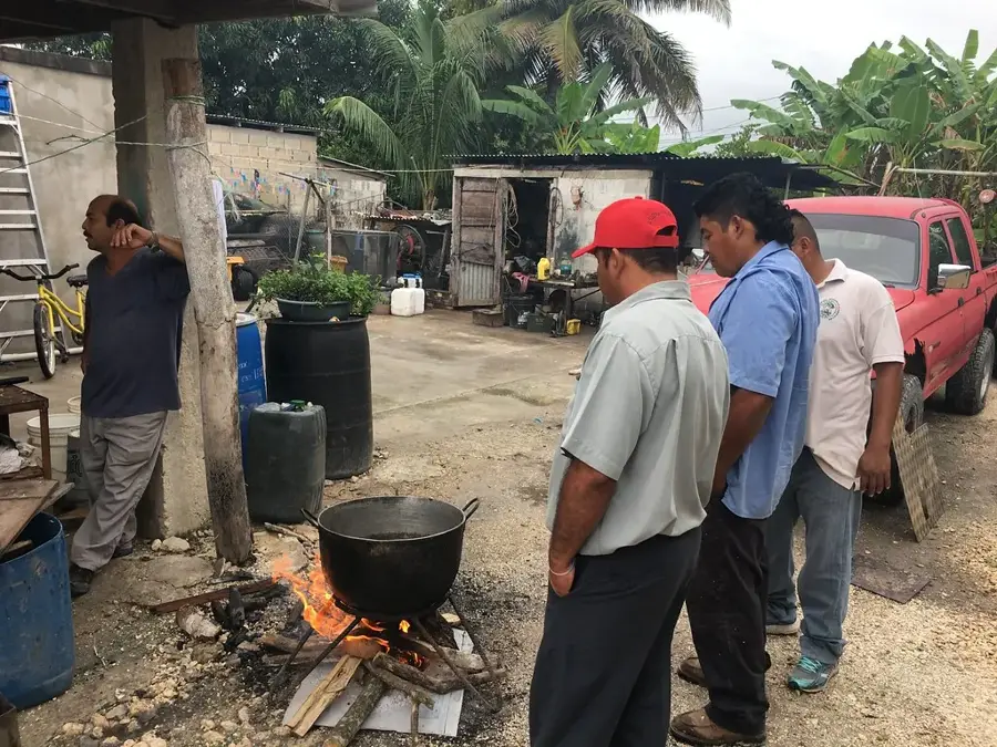
Ask at local eateries for the catch of the day, often served fried.
The classic Belizean staple, widely available throughout the region.
A hearty onion and chicken soup that is very popular in northern Belize.
🛍 Shopping · 🧘 Quiet spots
Great for picking up seasonal tropical fruits like mangoes or papayas.
Your main stop for basic snacks, supplies, and cold drinks.
A tranquil spot to watch the water and spot local birds.
Peaceful agricultural roads excellent for a quiet morning walk.
Water temperature…
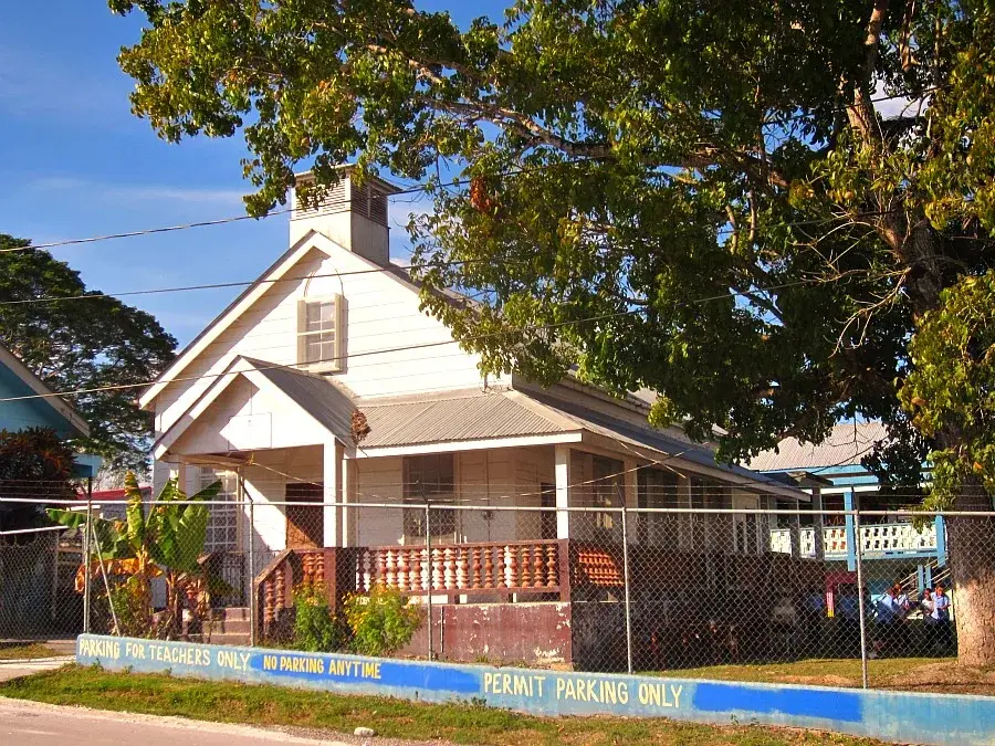
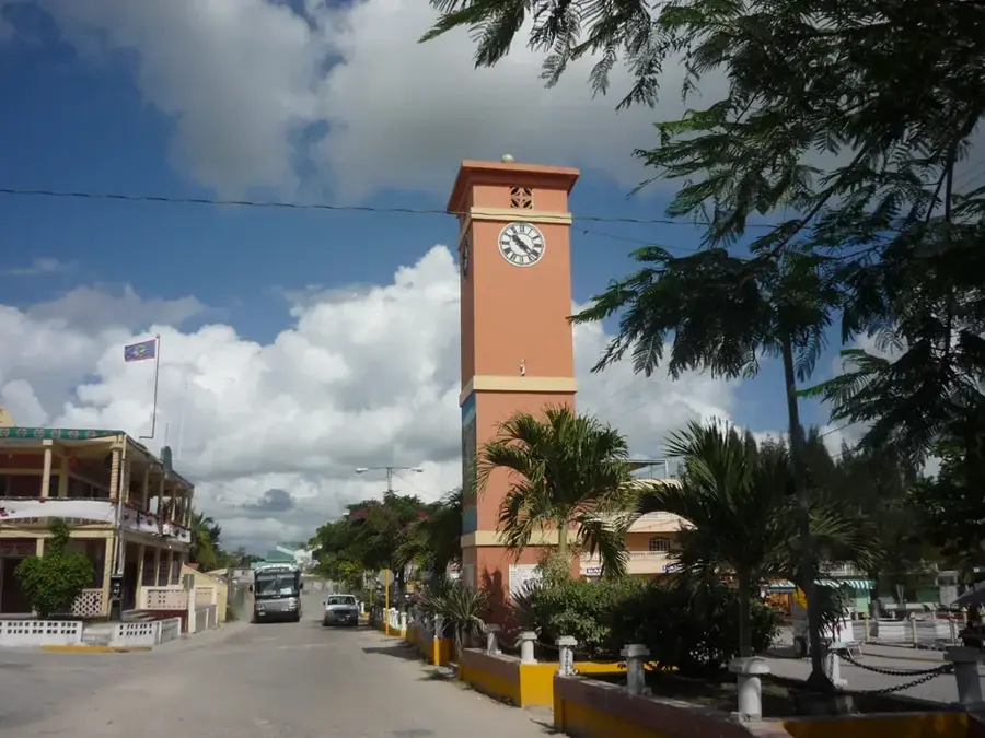
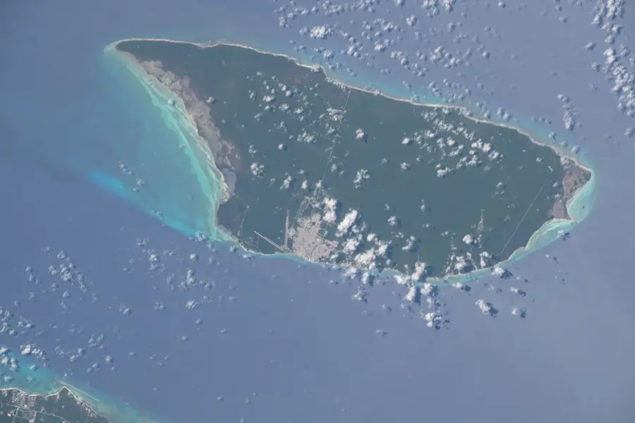
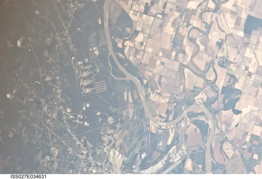
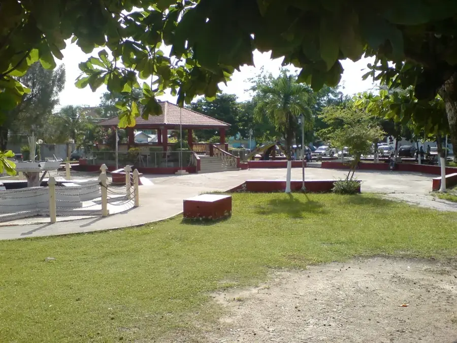
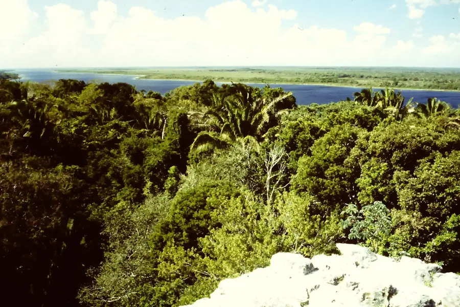
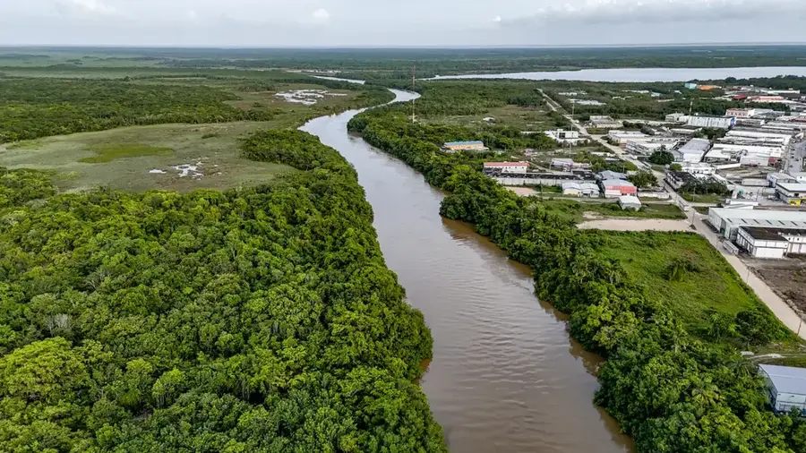
San Antonio (Rio Hondo) is a culturally rich village in the Orange Walk District, uniquely situated on Albion Island. This island is formed by two branches of the Rio Hondo river, which constitutes the natural border between Belize and Mexico. The village's history is deeply connected to the Caste War of Yucatán, as Maya and Mestizo refugees fled into northern Belize during the mid-19th century. Geographically, the area is notable for its proximity to the Chicxulub Crater impact zone, the site of the asteroid strike 65 million years ago. The village's economy is traditionally driven by sugar cane cultivation, complemented by riverine fishing. Archaeological studies in the vicinity have revealed sophisticated ancient Maya wetland agriculture systems, highlighting a long legacy of land use. Today, San Antonio maintains a quiet, rural atmosphere and serves as a destination for off-the-beaten-path travelers. The population of approximately 480 residents maintains a bilingual culture, with Spanish and English being widely spoken.
- Location: Belize
- Nearby: Maya Mopan (4 km)
- Population: ~1.210 (2025)
Best time to visit & climate
The most pleasant time to visit is Jan–Mar.
| Jan | Feb | Mar | Apr | May | Jun | Jul | Aug | Sep | Oct | Nov | Dec | |
|---|---|---|---|---|---|---|---|---|---|---|---|---|
| Avg °C | 23 | 25 | 26 | 28 | 29 | 27 | 27 | 27 | 27 | 26 | 24 | 23 |
| Rain mm | 83 | 46 | 38 | 35 | 121 | 222 | 137 | 174 | 190 | 230 | 146 | 103 |
Geography
Facts
- San Antonio is located on Albion Island, a large landmass within the Rio Hondo river
- The village was significantly shaped by refugees from the 19th-century Caste War
- As of the 2022 census, the official population of the village stands at 479 people
- The area sits within the impact zone of the 65-million-year-old Chicxulub Crater
- Sugar cane has been the primary economic driver since the late 19th century
- Ancient Maya raised-field systems for wetland farming have been identified nearby
Explore nearby
Notable places around
Route planner — Car & Motorhome
Where do you start? We build the route here, with stops and country notes along the way.
© OpenStreetMap contributors · OpenRouteService
Frequently asked questions
Where is San Antonio on the Rio Hondo located?
What is special about its location?
What Maya history does the place have?
What do the villagers do for a living?
Can the river be used for boat tours?
San Antonio (Rio Hondo): where is it located?
San Antonio (Rio Hondo): when is the best time to visit?
San Antonio (Rio Hondo): why is it worth visiting?

Nearby cities

Nature
More places