Plizio Visual Lab
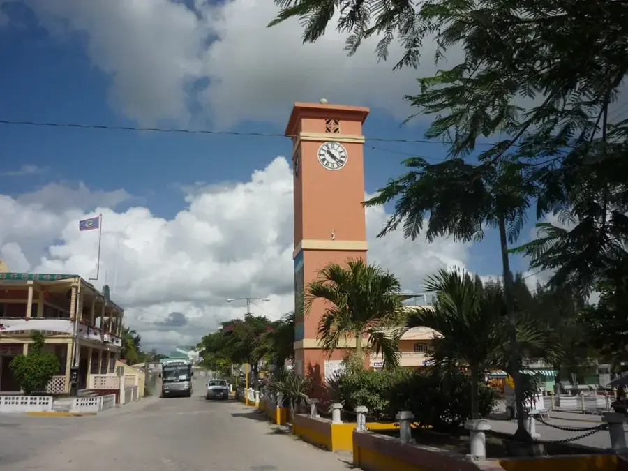
Santa Marta (Orange Walk)
ℹ️Practical info — Santa Marta (Orange Walk)
▾
🌤 Weather — 5 days
📍 Nearby
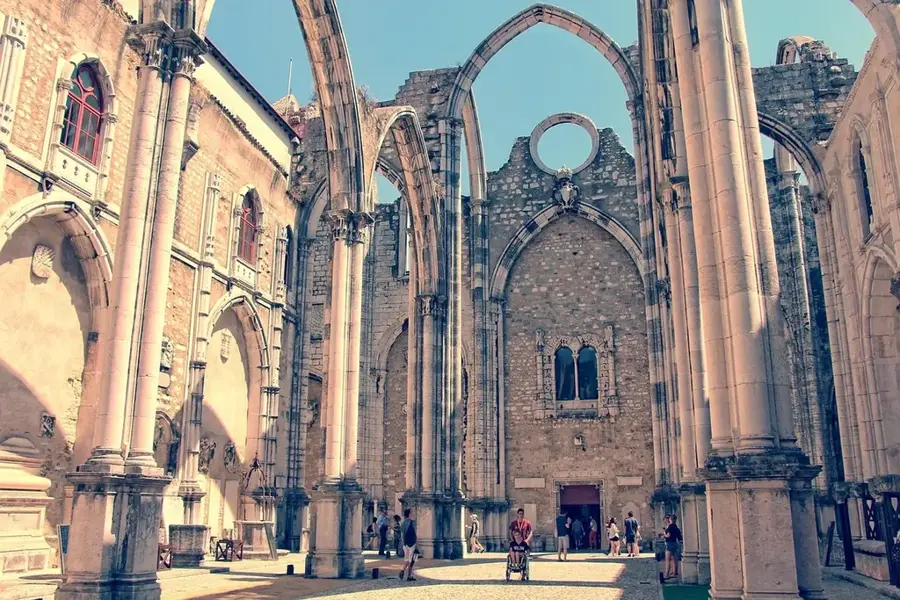
Sights nearby
💡 Tips
- Watch for heavy truck and tractor traffic during the sugar cane harvest season.
- A 4x4 vehicle is recommended during the rainy season as local dirt roads can get extremely muddy.
- Stop by small roadside stalls for fresh seasonal fruits directly from the farmers.
- While English is spoken, a few words of Spanish will help you connect much better with older residents.
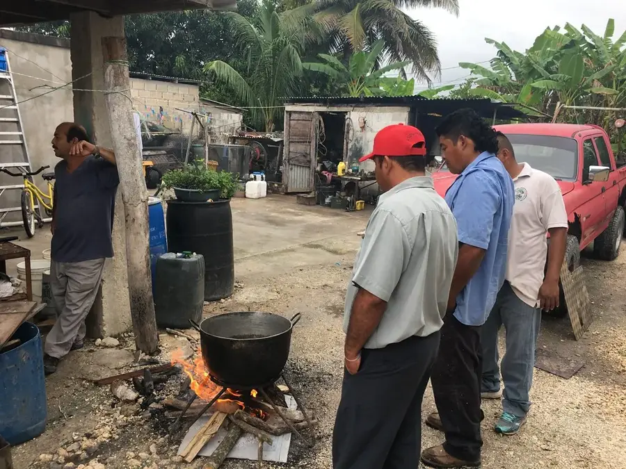
🍽 Food
Available seasonally from local vendors; it is sweet, refreshing, and entirely local.
A tangy onion soup with chicken, often prepared in small village eateries and homes.
Look for hand-painted signs on houses selling delicious homemade tamales on weekends.
🛍 Shopping · 🧘 Quiet spots
Buy local crops like corn, beans, and tropical fruits straight from the village farm stands.
Sometimes available from small-scale beekeepers in the area; ask around at the small village shops.
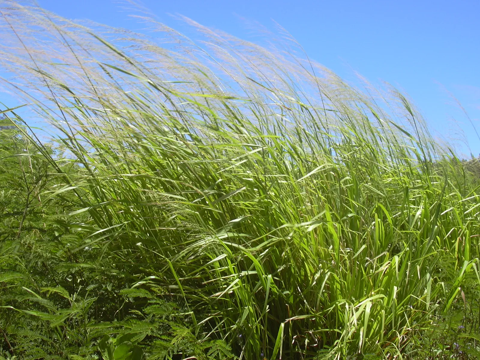
Scenic, quiet dirt paths bordering the vast sugar cane plantations.
Well-suited for peaceful evening walks as the sun sets over the surrounding farms.
Water temperature…
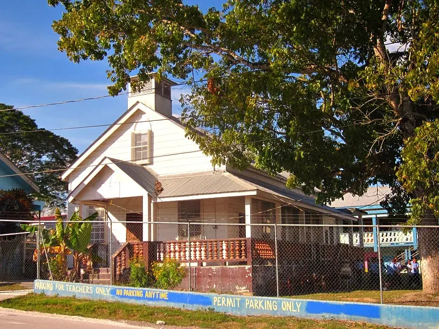
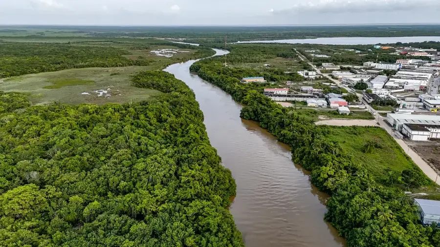
Santa Marta is a rural settlement located in the Orange Walk District of northern Belize, positioned along the Old Northern Highway. The village's history is deeply connected to the geopolitical shifts in Central America, as it was officially established in 1981 as a sanctuary for refugees fleeing the civil war in El Salvador. Today, the community has evolved into an agricultural powerhouse, widely recognized across the country for its high-quality pineapple production. The region's fertile soils also support the cultivation of citrus fruits and maize, providing a steady livelihood for its approximately 600 residents. Geographically, Santa Marta is situated about 50 kilometers north of Belize City, offering a unique look into the country's colonial past through its historic road networks. The village is characterized by a blend of Salvadoran traditions and Belizean culture, which is particularly evident in the local cuisine and social festivals. While the infrastructure remains modest, the village benefits from its location on a historical transportation route that remains vital for local trade. The development of Santa Marta stands as a model for the successful integration of immigrants into the social fabric of Belize.
- Location: Belize
- Nearby: Roaring Creek (4 km)
- Population: ~2.160 (2025)
Best time to visit & climate
The most pleasant time to visit is Jan–Mar.
| Jan | Feb | Mar | Apr | May | Jun | Jul | Aug | Sep | Oct | Nov | Dec | |
|---|---|---|---|---|---|---|---|---|---|---|---|---|
| Avg °C | 23 | 25 | 26 | 28 | 29 | 27 | 27 | 27 | 27 | 26 | 24 | 23 |
| Rain mm | 83 | 46 | 38 | 35 | 121 | 222 | 137 | 174 | 190 | 230 | 146 | 103 |
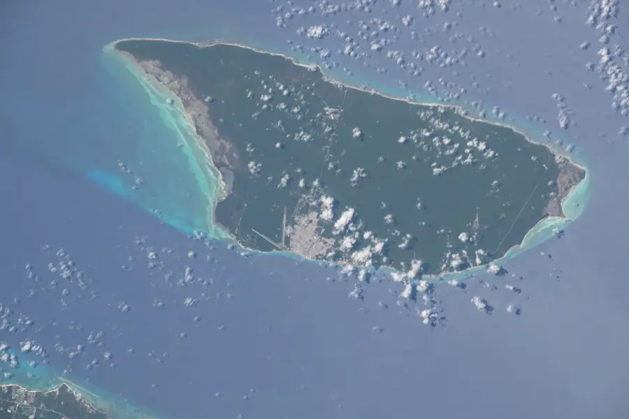
Geography
Facts
- Santa Marta was founded in 1981 for El Salvadoran refugees.
- The village is located on the historic Old Northern Highway.
- It is situated approximately 50 kilometers north of Belize City.
- Pineapple production is the primary agricultural industry here.
- The current population is estimated to be around 600 residents.
- The community is famous for its Salvadoran-inspired gastronomy.
Explore nearby
Notable places around
Route planner — Car & Motorhome
Where do you start? We build the route here, with stops and country notes along the way.
© OpenStreetMap contributors · OpenRouteService
Frequently asked questions
Who founded Santa Marta?
What is the economic base of the village?
Where exactly is Santa Marta located?
Are there tourist destinations there?
What language is predominantly spoken?
Santa Marta (Orange Walk): where is it located?
Santa Marta (Orange Walk): when is the best time to visit?
Santa Marta (Orange Walk): why is it worth visiting?

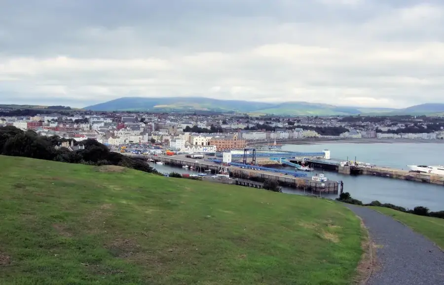
Nearby cities

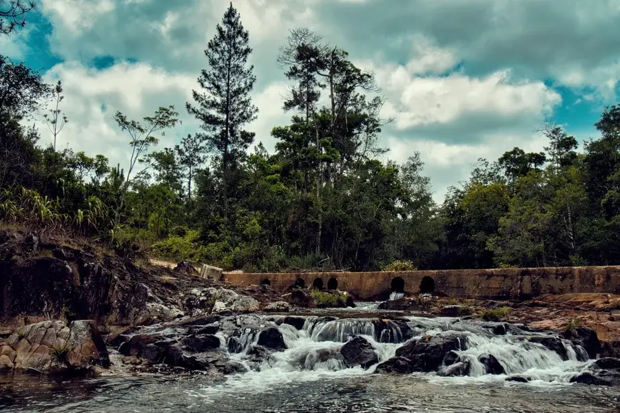

Nature
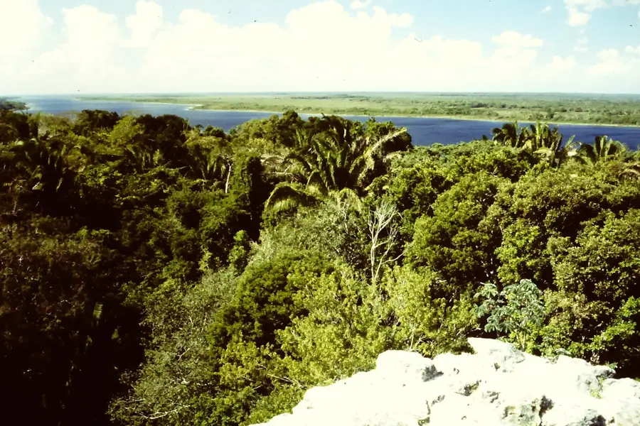
More places