Plizio Visual Lab
Carmelita
ℹ️Practical info — Carmelita
▾
🌤 Weather — 5 days
📍 Nearby
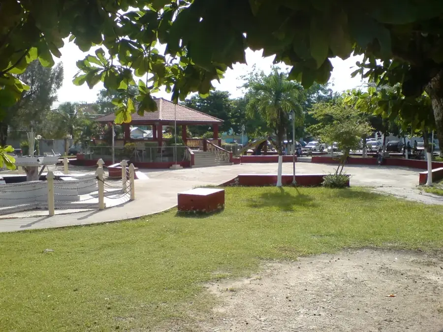
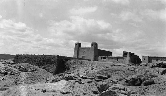
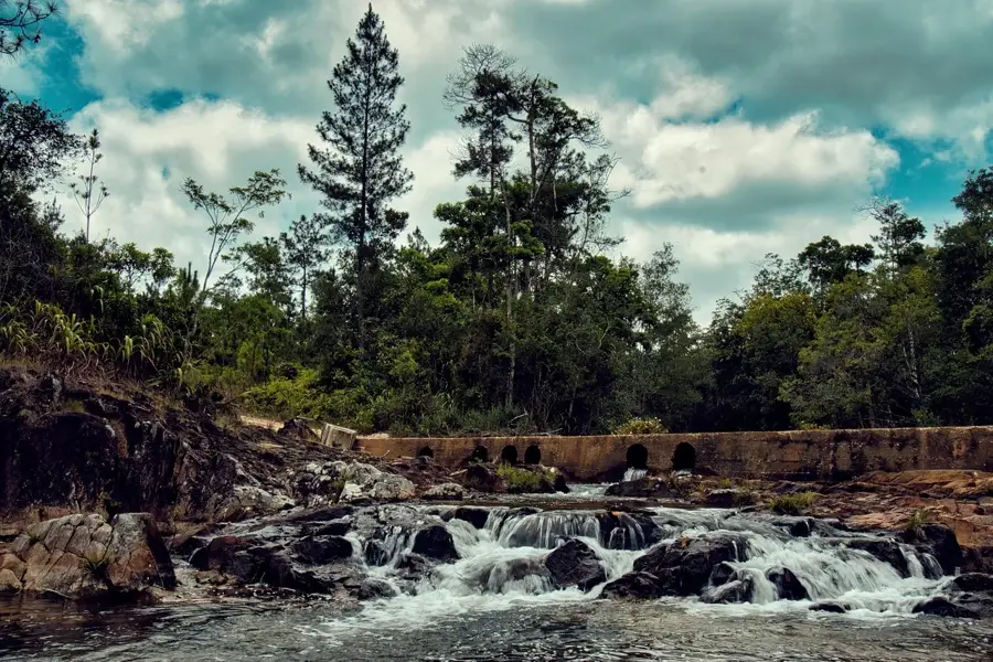
Sights nearby
💡 Tips
- Located right on the Phillip Goldson Highway, expect heavy passing traffic during the day.
- It's very close to the toll bridge over the New River; have small change ready if you are driving.
- The climate is tropical and humid year-round, so pack lightweight clothing and insect repellent.
- It's a great quick stop to refuel and grab a bite before continuing your journey to Orange Walk Town.
🍽 Food
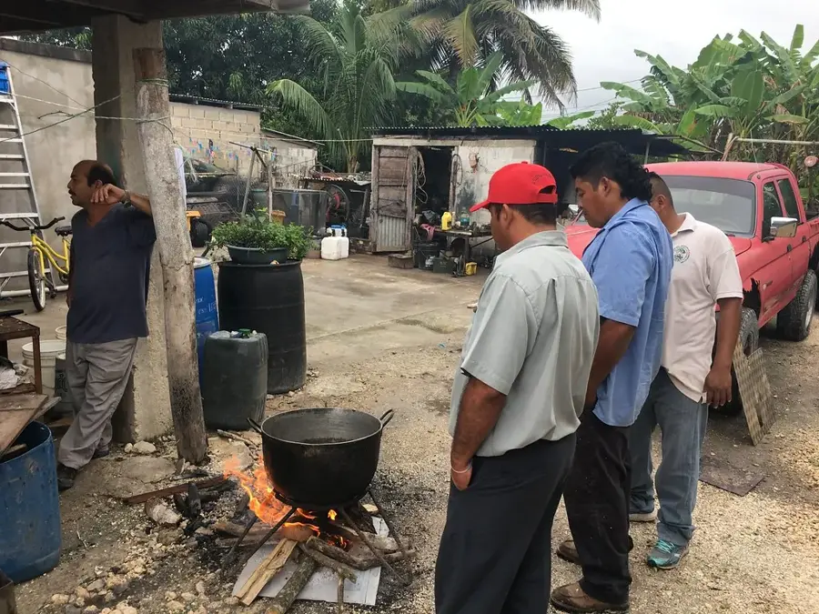
Look for smoke rising from oil drum grills along the highway for authentic barbecue chicken and ribs.
Stop by local food stalls in the morning to try these deep-fried dough pieces, usually served with beans and eggs.
The Belizean staple is easily found at small diners in the village, often served with stewed chicken.
🛍 Shopping · 🧘 Quiet spots
Pick up fresh, locally grown tropical fruits directly from vendors along the road.
Small village grocers are your best bet for stocking up on water and snacks before heading off the main highway.
Head towards the river near the toll bridge for a brief moment of tranquility away from the road.
Wander slightly away from the main highway into the residential roads for a quieter glimpse of rural Belizean life.
Water temperature…
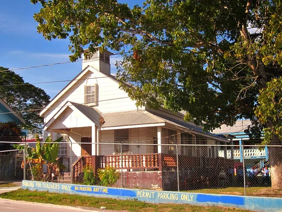
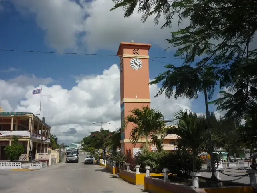
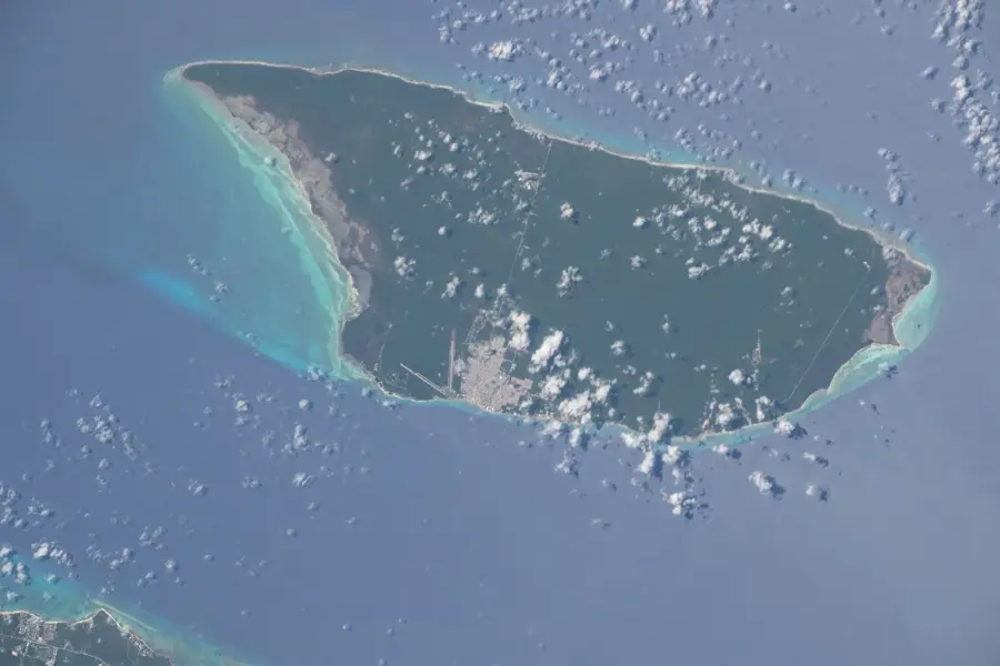
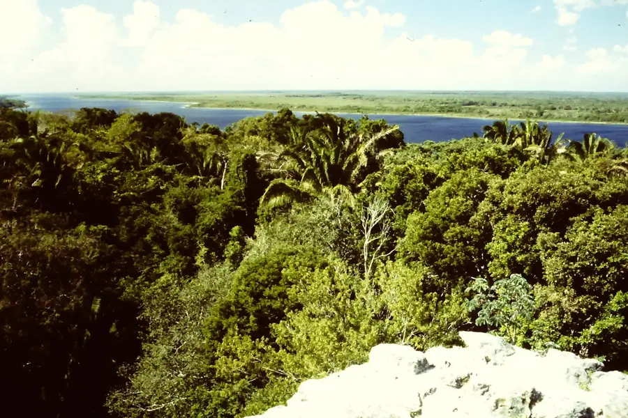
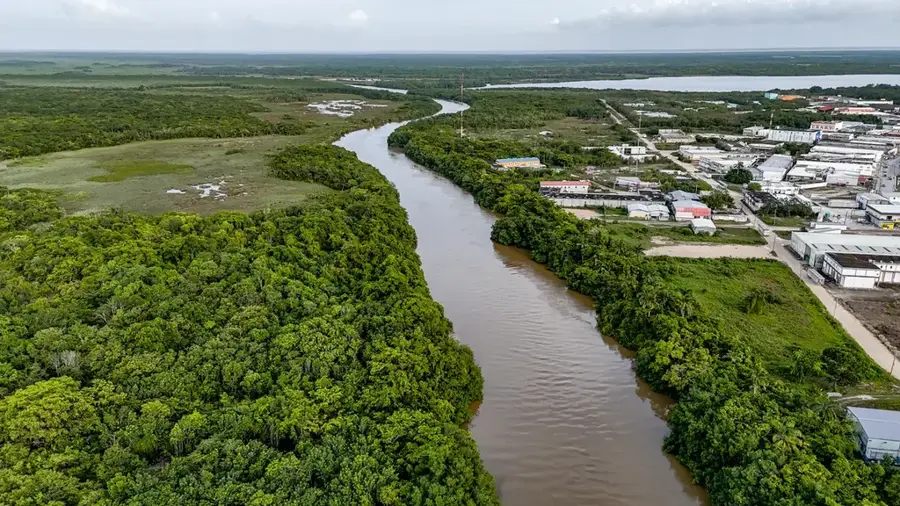
Carmelita is a significant village in the Orange Walk District of northern Belize, strategically located along the New River and near the Philip Goldson Highway. The settlement functions as a key gateway for tourism, serving as a primary launch point for boat expeditions to the ancient Maya site of Lamanai, which significantly shapes the local economy. Historically, Carmelita was closely tied to the logging and chicle industries before evolving into an agricultural hub where sugar cane is now the predominant crop. Its geographic position on the riverbank provides fertile alluvial soils that support farming while sustaining rich biodiversity in the surrounding wetlands. The community is multi-ethnic, with Mestizos and Creoles making up the majority of the population, leading to an animated blend of traditions and culinary influences. In recent decades, Carmelita has benefited from its location between Orange Walk Town and Belize City, developing into a commuter and commercial hub that blends modern services with rural charm.
- Location: Belize
- Nearby: Chan Chen (4 km)
- Population: ~1.936 (2025)
Best time to visit & climate
The most pleasant time to visit is Jan–Mar.
| Jan | Feb | Mar | Apr | May | Jun | Jul | Aug | Sep | Oct | Nov | Dec | |
|---|---|---|---|---|---|---|---|---|---|---|---|---|
| Avg °C | 23 | 25 | 26 | 28 | 29 | 27 | 27 | 27 | 27 | 26 | 24 | 23 |
| Rain mm | 83 | 46 | 38 | 35 | 121 | 222 | 137 | 174 | 190 | 230 | 146 | 103 |
Geography
Facts
- Carmelita is located approximately 10 kilometers south of Orange Walk Town.
- The New River is utilized here for transporting tourists to Lamanai.
- The community has a population of roughly 1,500 inhabitants.
- Sugar cane is the primary agricultural product of the region.
- The Tower Hill sugar refinery is located just a few kilometers north.
- It sits conveniently on the Philip Goldson Highway, Belize's main artery.
Explore nearby
Notable places around
Route planner — Car & Motorhome
Where do you start? We build the route here, with stops and country notes along the way.
© OpenStreetMap contributors · OpenRouteService
Frequently asked questions
Why do tourists visit Carmelita?
Where can you rent boats to Lamanai?
Are there restaurants in Carmelita?
How long does the boat trip take from Carmelita to Lamanai?
Is it safe to park in Carmelita?
Carmelita: where is it located?
Carmelita: when is the best time to visit?
Carmelita: why is it worth visiting?

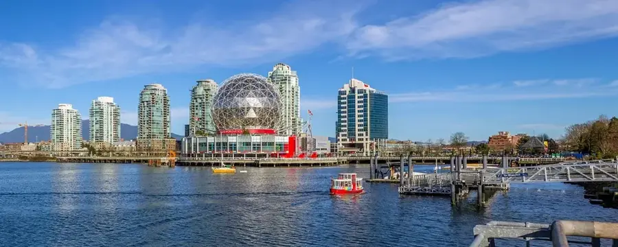
Nearby cities
Nature
More places