Plizio Visual Lab
San Felipe (Corozal)
ℹ️Practical info — San Felipe (Corozal)
▾
🌤 Weather — 5 days
📍 Nearby
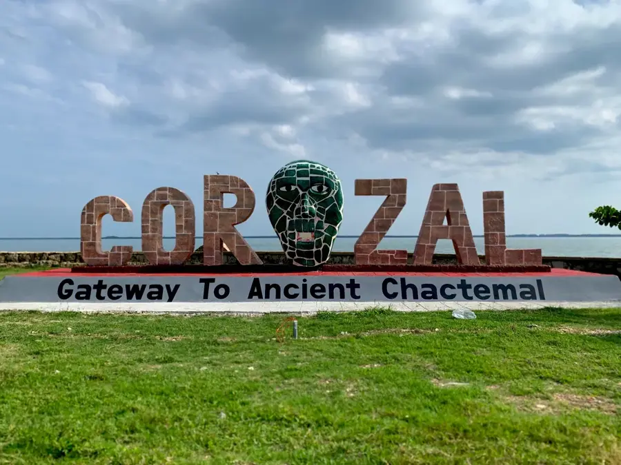
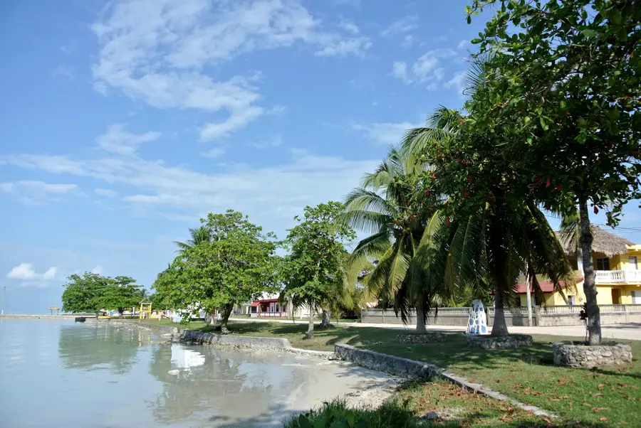
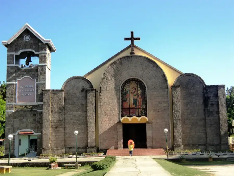
Sights nearby
💡 Tips
- Sugarcane trucks frequently use the local roads; drive carefully and give them plenty of space.
- Spanish is widely spoken here, so knowing a few basic phrases will help you connect with the community.
- Bring good sun protection, as the open agricultural landscape features little shade.
- The village is most lively during the sugarcane harvest season, offering a glimpse into local livelihoods.
🍽 Food
Look for early morning street stands serving fresh, inexpensive tacos.
Traditional steamed corn dough filled with meat, often sold directly from local homes.
Often available from local vendors on hot days, straight from the nut.
🛍 Shopping · 🧘 Quiet spots
Great for picking up fresh vegetables directly from the village farmers.
Great for grabbing everyday essentials and cold refreshments.
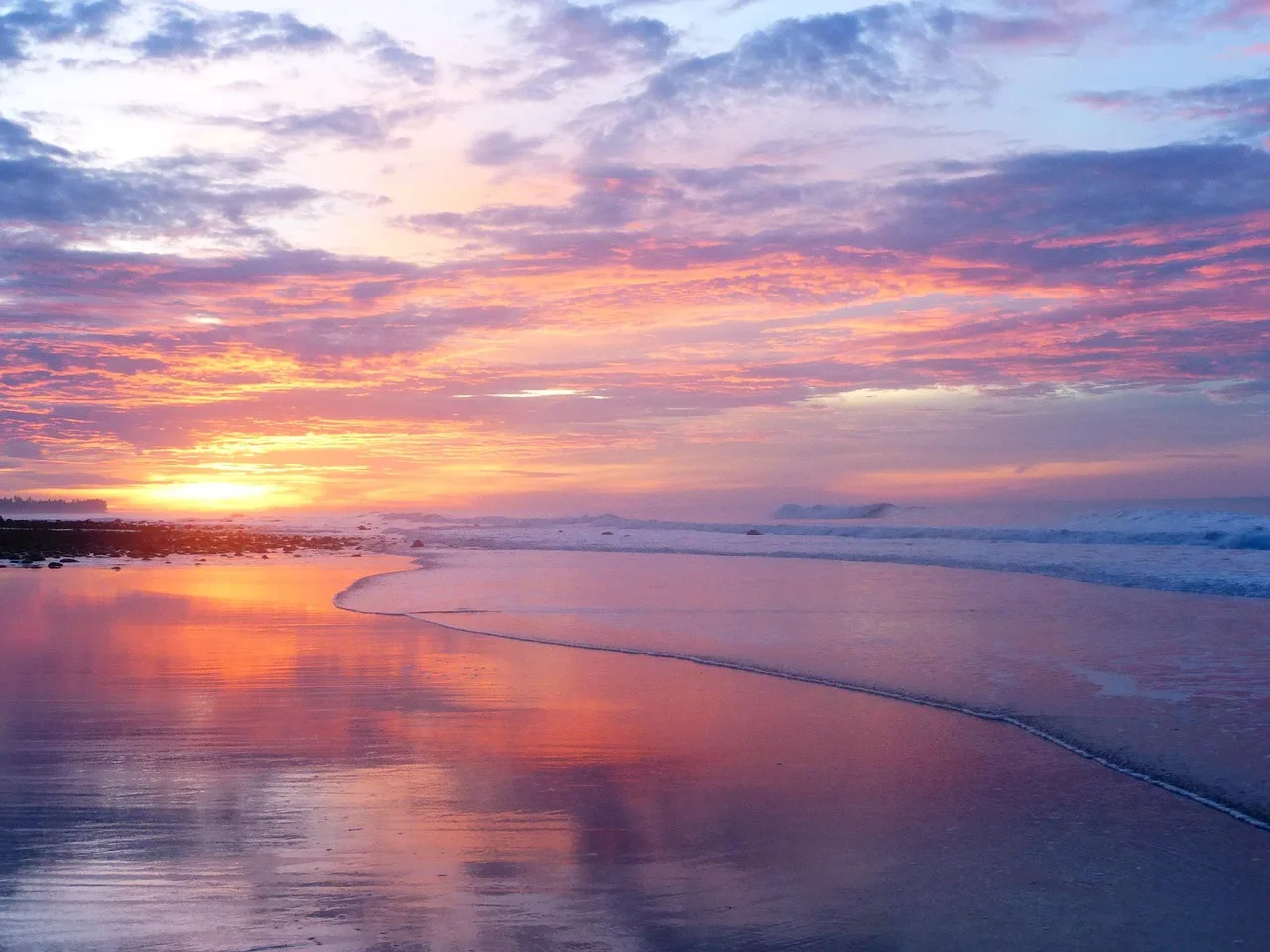
Has expansive, colorful skies and a peaceful agricultural atmosphere.
A quiet, central spot to sit, relax, and watch local life go by.
Water temperature…
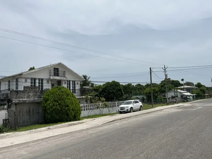
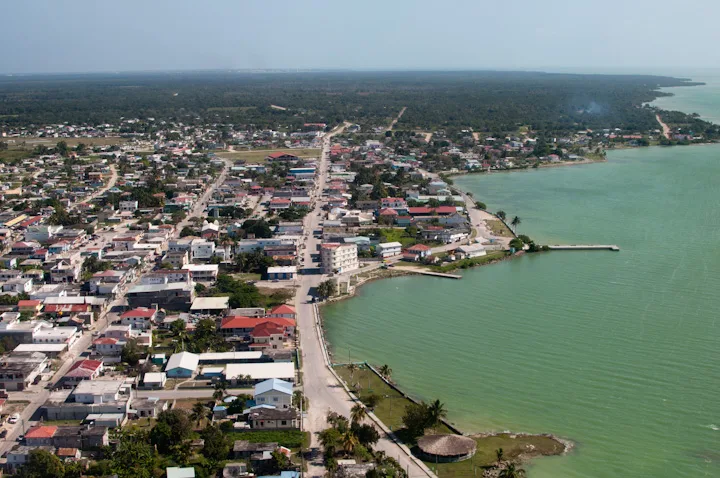
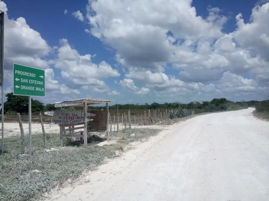
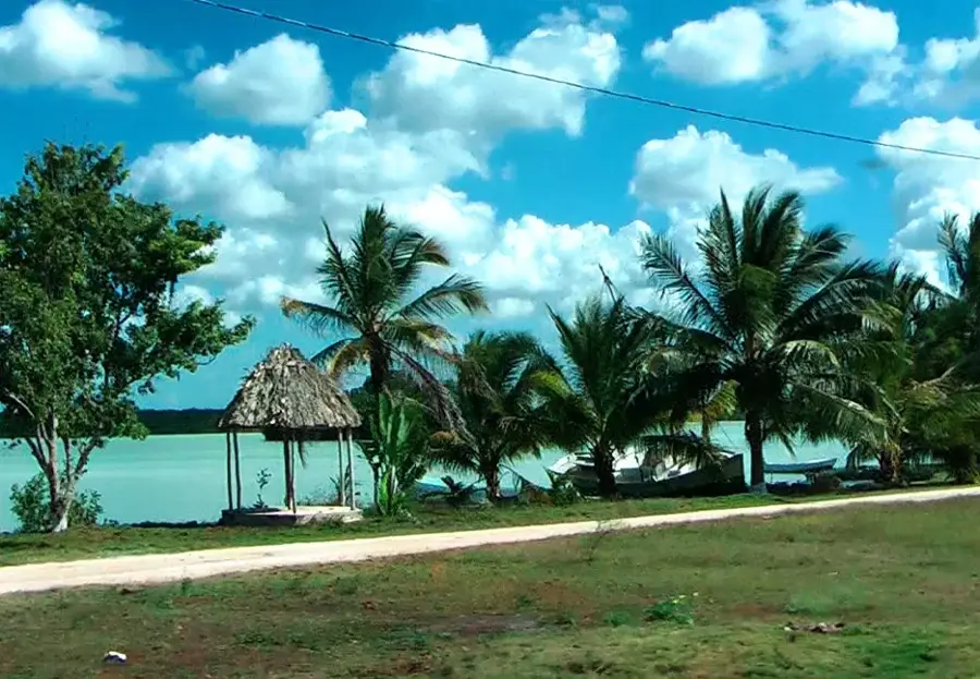
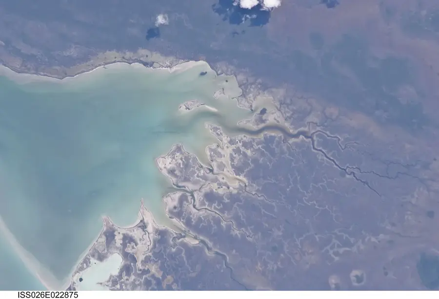
San Felipe is a rural village in the Corozal District, located in the far north of Belize near the Mexican border. The geography of the region is characterized by flat plains and proximity to the Hondo River, which serves as a natural boundary. Historically, the area was settled by Mestizos who sought refuge during the 19th-century Caste War, bringing their agricultural traditions with them. The economy of San Felipe is almost entirely centered on sugar cane cultivation, which is typical of the Corozal District. The community is closely integrated into the regional sugar network, supplying its harvests to the factory at Tower Hill. Culturally, the village reflects a blend of Maya and Spanish influences, evident in local gastronomy and religious festivities. Despite its modest size, San Felipe plays a significant role in the social fabric of the rural north. In recent years, efforts to diversify agriculture and improve local infrastructure have driven the modernization of the community.
- Location: Belize
- Nearby: Trio Village (5 km)
- Population: ~608 (2025)
Best time to visit & climate
The most pleasant time to visit is Jan, Feb, Dec.
| Jan | Feb | Mar | Apr | May | Jun | Jul | Aug | Sep | Oct | Nov | Dec | |
|---|---|---|---|---|---|---|---|---|---|---|---|---|
| Avg °C | 23 | 25 | 26 | 28 | 28 | 27 | 27 | 27 | 27 | 25 | 24 | 23 |
| Rain mm | 61 | 38 | 33 | 39 | 118 | 206 | 122 | 173 | 190 | 207 | 119 | 76 |
Geography
Facts
- San Felipe is located in northern Corozal District near the Mexican border
- The economy is primarily based on sugar cane production for the Tower Hill factory
- The population consists mainly of Mestizos with strong Maya heritage
- The nearby Hondo River was historically important for the mahogany trade
- The community celebrates annual traditional festivals in honor of local saints
- The population is estimated to be between 300 and 500 residents
Explore nearby
Notable places around
Route planner — Car & Motorhome
Where do you start? We build the route here, with stops and country notes along the way.
© OpenStreetMap contributors · OpenRouteService
Frequently asked questions
What is the economic basis of San Felipe?
Where is San Felipe located in the Corozal District?
Are there historical sights there?
How is the connection to Corozal Town?
When is the village festival?
San Felipe (Corozal): where is it located?
San Felipe (Corozal): when is the best time to visit?
San Felipe (Corozal): why is it worth visiting?

Nearby cities