Plizio Visual Lab
San Pablo (Orange Walk)
ℹ️Practical info — San Pablo (Orange Walk)
▾
🌤 Weather — 5 days
📍 Nearby
Sights nearby
💡 Tips
- Respect the cultural heritage; this is a rare place where you can still hear the Yucatec Maya language spoken.
- Ask local residents about traditional Maya herbal medicine and ancient farming techniques.
- Visit during local cultural festivals to see traditional dances and hear authentic Maya music.
- Bring cash in small denominations, as local artisans and food vendors do not accept cards.
🍽 Food
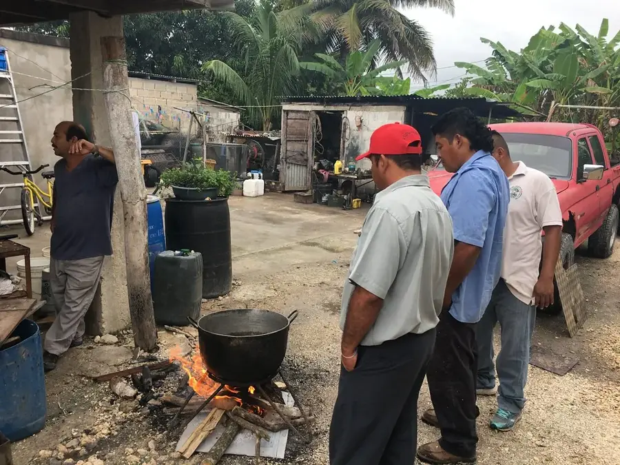
Slow-roasted pork marinated in citrus and annatto, cooked underground; a true Yucatec specialty.
Delicious local pastries baked in traditional wood-fired ovens by village families.
A warm, comforting corn-based beverage traditionally served in the mornings.
🛍 Shopping · 🧘 Quiet spots
Look for beautifully embroidered clothing ('huipiles') made by local Yucatec Maya women.
Unique items and tools crafted from local hardwoods by skilled village artisans.
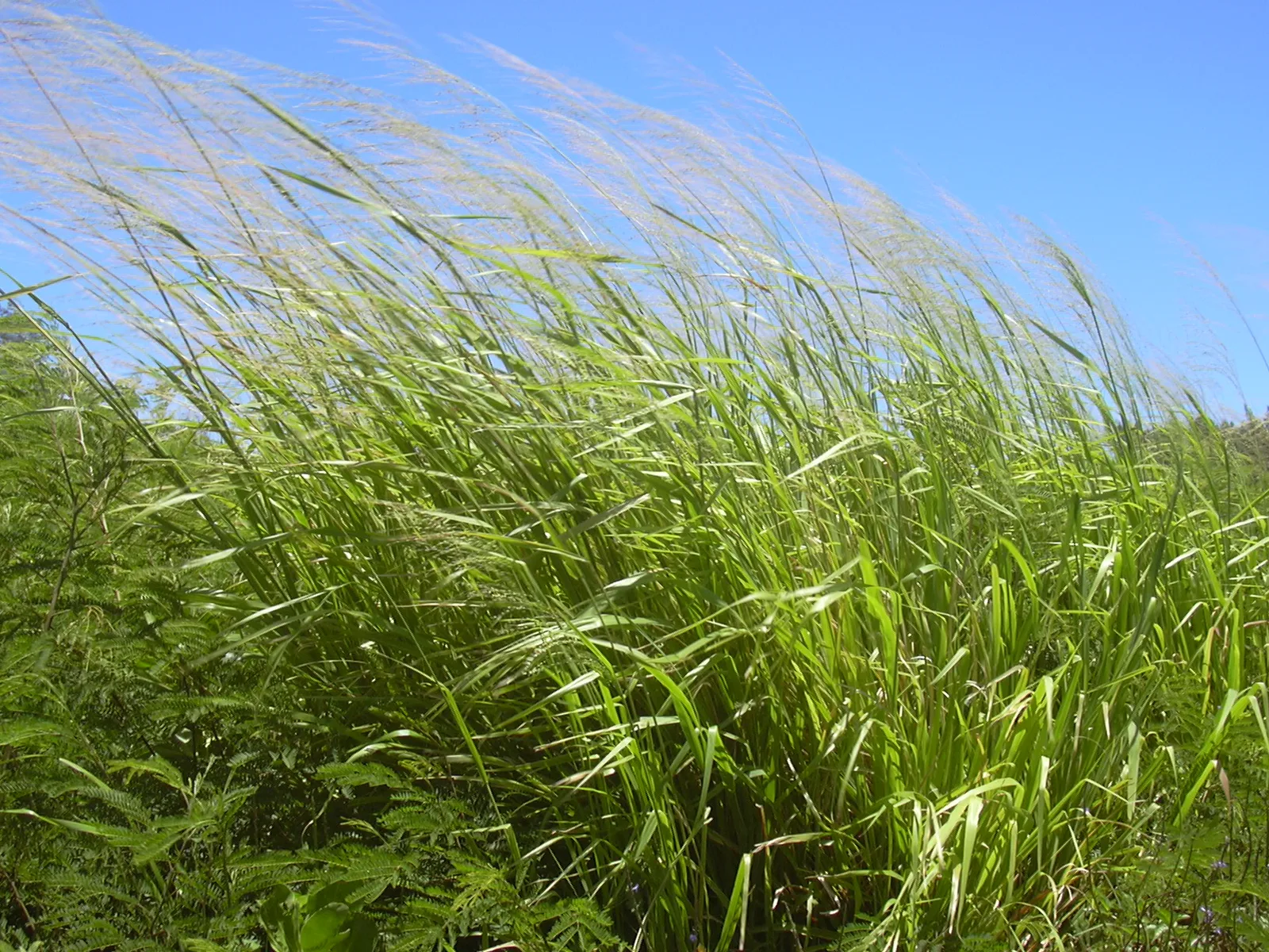
The traditional farming cornfields offer a quiet, ancient landscape on the village edge.
A calm, shaded central area great for resting and observing local community life.
Water temperature…
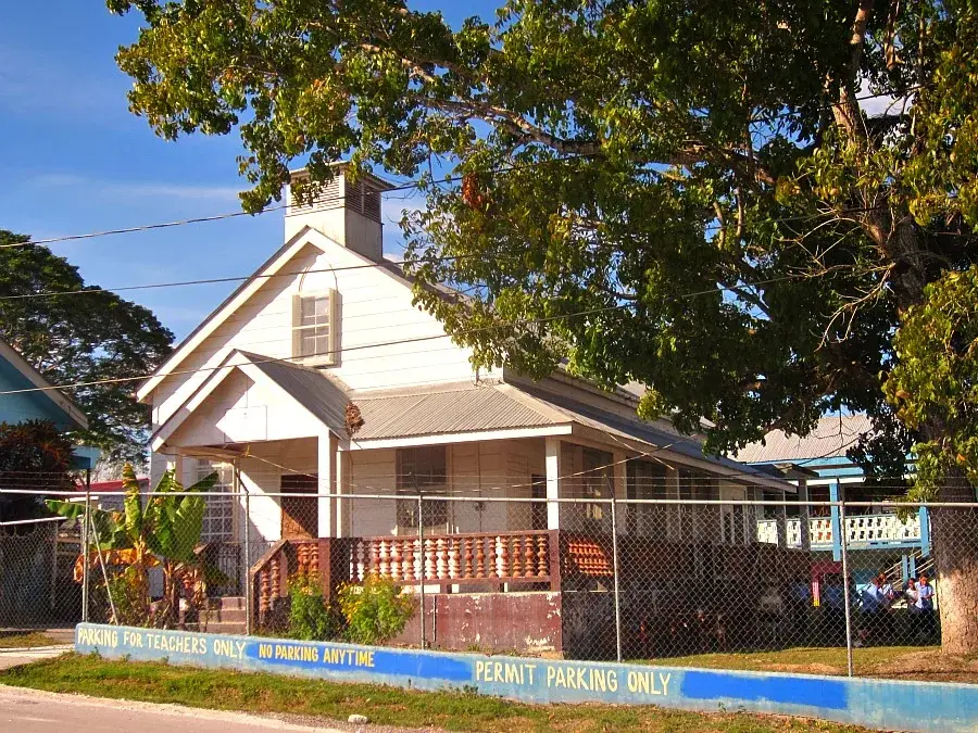
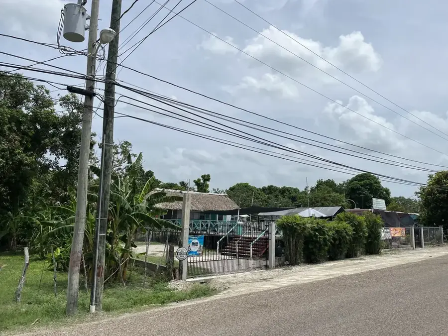
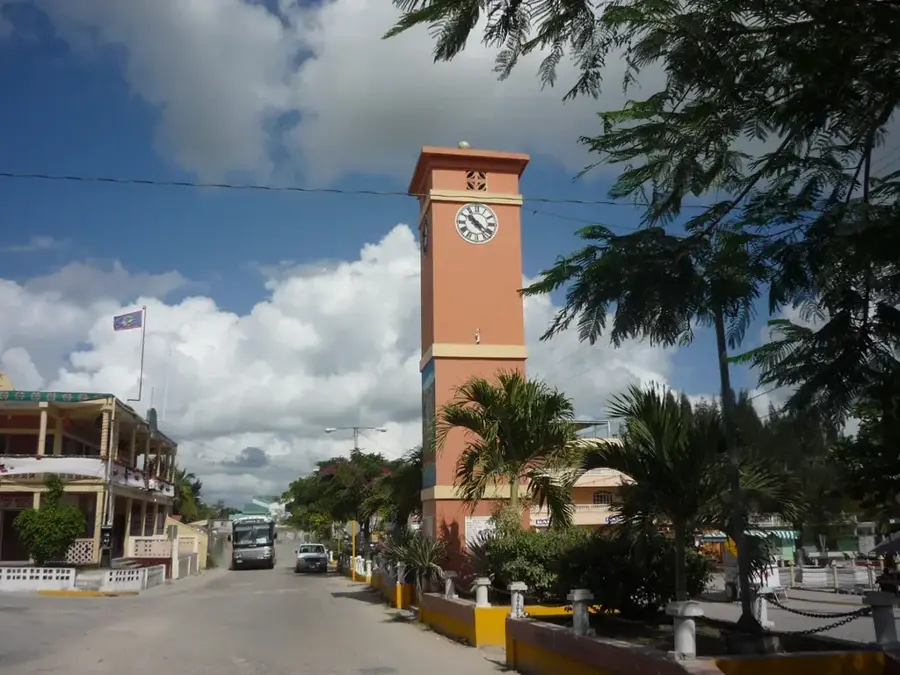
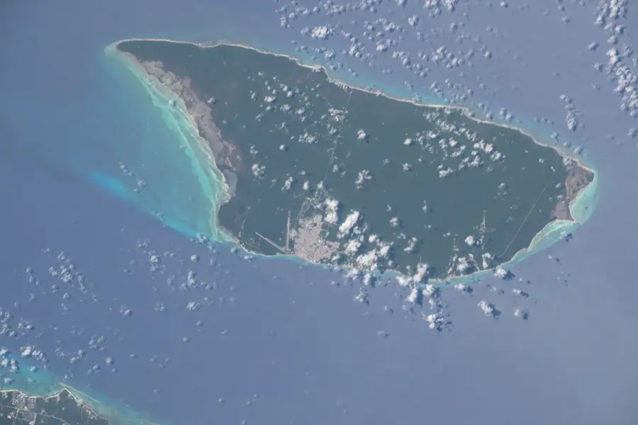
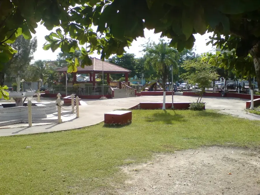
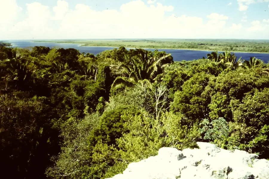
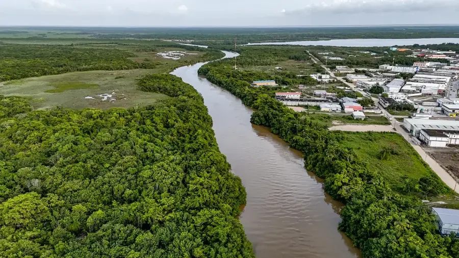
San Pablo, often associated in local records with X-pichil, is a significant village located in the Orange Walk District of northern Belize. The settlement is positioned directly on the Philip Goldson Highway, the country's primary transportation artery, granting the village a central economic role. San Pablo is closely linked with its neighbor, San Jose, and both are often referred to as twin villages. Historically, the region was settled by Yucatec Maya people, whose influence remains palpable in the language and cultural traditions today. The local economy is almost entirely dominated by sugarcane cultivation, with San Pablo being a major supplier for the Tower Hill sugar factory. Currently, the village is home to about 1,000 residents, most of whom sustain themselves through farming and related trade. Geographically, the village spans a flat plain with calcareous soils that are ideally suited for growing sugarcane. Despite its modern connection to the highway network, San Pablo maintains a strong indigenous identity expressed through religious ceremonies and community cooperation. Infrastructure includes schools and churches that serve as the social hubs of the community.
- Location: Belize
- Nearby: Maya Mopan (5 km)
Best time to visit & climate
The most pleasant time to visit is Jan–Mar.
| Jan | Feb | Mar | Apr | May | Jun | Jul | Aug | Sep | Oct | Nov | Dec | |
|---|---|---|---|---|---|---|---|---|---|---|---|---|
| Avg °C | 23 | 25 | 26 | 28 | 29 | 27 | 27 | 27 | 27 | 26 | 24 | 23 |
| Rain mm | 83 | 46 | 38 | 35 | 121 | 222 | 137 | 174 | 190 | 230 | 146 | 103 |
Geography
Facts
- San Pablo is located on the Philip Goldson Highway north of Orange Walk.
- The village is often grouped with San Jose as part of a twin community.
- The local residents are primarily of Yucatec Maya descent.
- Sugarcane farming is the backbone of the village's economy.
- The community is a vital supplier for the Tower Hill sugar mill.
- The population of San Pablo is approximately 1,000 residents.
Explore nearby
Notable places around
Route planner — Car & Motorhome
Where do you start? We build the route here, with stops and country notes along the way.
© OpenStreetMap contributors · OpenRouteService
Frequently asked questions
Why is the village called San Pablo?
What is the most important agricultural product?
Are there historical sites in San Pablo?
How far is Orange Walk Town?
Are there small shops in the village?
San Pablo (Orange Walk): where is it located?
San Pablo (Orange Walk): when is the best time to visit?
San Pablo (Orange Walk): why is it worth visiting?

Nearby cities
Nature
More places