Plizio Visual Lab
Southeastern Hills

Weather…
Water temperature…
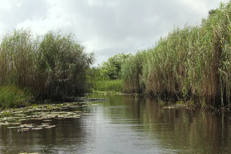
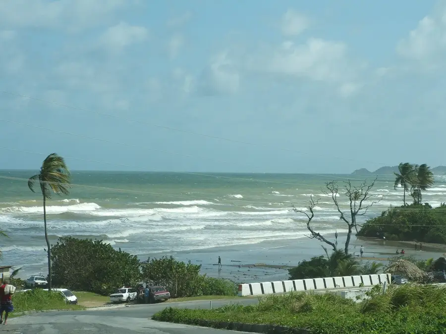
The Southeastern Hills, widely known as the Trinity Hills, are a range of hills located along the southeastern coast of Trinidad that hold immense symbolic value. These hills consist of three prominent peaks that, according to historical accounts, were sighted by Christopher Columbus during his third voyage in 1498. This sighting allegedly inspired him to name the island 'Trinidad' after the Holy Trinity. Geologically, the hills are part of the Southern Range and are composed primarily of sandstones and clays that are rich in hydrocarbon deposits. Today, the region is a significant hub for Trinidad's onshore oil and natural gas production, while also hosting the Trinity Hills Wildlife Sanctuary. This protected area provides a refuge for rare fauna, including ocelots, red howler monkeys, and pawi. The dense forests and rugged coastline make the Southeastern Hills one of the most remote and biologically diverse regions on the island.
- Location: Trinidad and Tobago
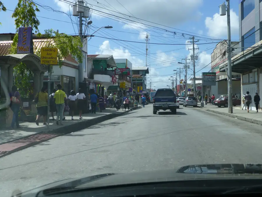
- Nearby: Rio Claro (8 km)
Best time to visit & climate
The most pleasant time to visit is Feb–Apr.
| Jan | Feb | Mar | Apr | May | Jun | Jul | Aug | Sep | Oct | Nov | Dec | |
|---|---|---|---|---|---|---|---|---|---|---|---|---|
| Avg °C | 26 | 26 | 27 | 28 | 28 | 27 | 27 | 28 | 28 | 28 | 27 | 27 |
| Rain mm | 97 | 56 | 48 | 55 | 125 | 237 | 220 | 220 | 154 | 186 | 209 | 174 |
📋 Practical info
Geography
Facts
- The sighting of these hills led to the island's name, Trinidad, in 1498.
- The peaks reach an elevation of approximately 300 meters above sea level.
- The area is home to the endangered Trinidad Piping-guan (Pawi).
- The hills were formed by the uplift of sedimentary layers in the Pliocene.
- Trinity Hills is one of the last strongholds for the ocelot in Trinidad.
- The region marks the easternmost point of the Southern Range.
Explore nearby
Notable places around
Route planner — Car & Motorhome
Where do you start? We build the route here, with stops and country notes along the way.
© OpenStreetMap contributors · OpenRouteService
Sights nearby
Frequently asked questions
What are the Southeastern Hills known for?
Is the area family-friendly?
Do you need a car for the visit?
When is the best time for photographers?
Are there dangerous hiking trails there?
Southeastern Hills: where is it located?
Southeastern Hills: when is the best time to visit?
Southeastern Hills: why is it worth visiting?
More places