Plizio Visual Lab
Oropouche Lagoon
Weather…
Water temperature…
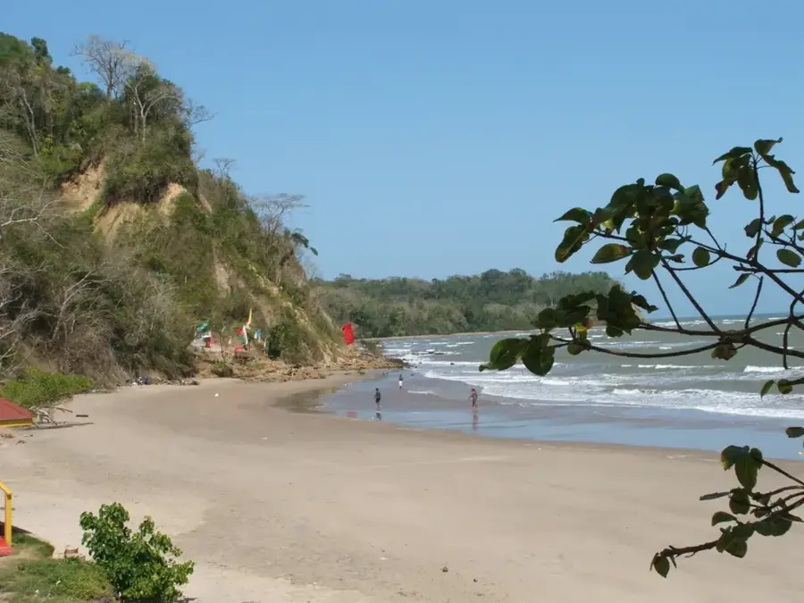
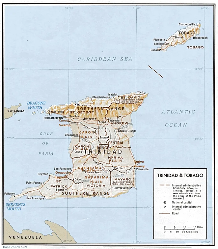
The Oropouche Lagoon, situated in southwestern Trinidad, is a vital hydrographic system and wetland covering parts of the Siparia and Fyzabad regions. Geographically, it comprises an extensive network of brackish lagoons, mangrove swamps, and seasonally inundated grasslands fed by the South Oropouche River. Geologically, the area occupies a tectonic depression shaped by long-term sedimentary deposition and marine influences. Historically, the lagoon was the site of significant drainage projects during the colonial era aimed at reclaiming land for sugar cane and rice cultivation, and later to facilitate oil industry infrastructure. These modifications have altered the ecological balance and contributed to saltwater intrusion in the basin. Despite its proximity to active oilfields, the lagoon remains an essential habitat for a wide variety of waterfowl and fish species. In recent years, the area has gained public attention due to flood mitigation efforts and controversial highway construction proposals through its wetlands. Today, it serves as a natural buffer against storm surges and is a primary site for local artisanal fishing.
- Location: Trinidad and Tobago
- Nearby: San Fernando (4 km)
Best time to visit & climate
The most pleasant time to visit is Feb–Apr.
| Jan | Feb | Mar | Apr | May | Jun | Jul | Aug | Sep | Oct | Nov | Dec | |
|---|---|---|---|---|---|---|---|---|---|---|---|---|
| Avg °C | 26 | 26 | 27 | 28 | 28 | 27 | 27 | 27 | 27 | 27 | 27 | 26 |
| Rain mm | 100 | 61 | 52 | 56 | 117 | 222 | 202 | 202 | 141 | 176 | 213 | 178 |
📋 Practical info
Geography
Facts
- The lagoon covers a total area of approximately 2,000 hectares.
- The South Oropouche River is the primary freshwater source for the system.
- Significant portions were drained in the 20th century for oil exploration.
- The region is a well-known habitat for the national bird, the Scarlet Ibis.
- Saltwater intrusion is an ongoing challenge for local agricultural plots.
- The area functions as a vital spawning ground for various brackish fish species.
Explore nearby
Notable places around
Route planner — Car & Motorhome
Where do you start? We build the route here, with stops and country notes along the way.
© OpenStreetMap contributors · OpenRouteService
Sights in the town Oropouche Lagoon (1)
Sights nearby
Frequently asked questions
How best to visit Oropouche Lagoon?
Are the paths suitable for wheelchair users?
What is the best time of day?
Is it allowed to swim there?
Are there restaurants nearby?
Oropouche Lagoon: where is it located?
Oropouche Lagoon: when is the best time to visit?
Oropouche Lagoon: why is it worth visiting?
More places