Plizio Visual Lab
Guayaguayare

ℹ️Practical info — Guayaguayare
▾
🌤 Weather — 5 days
📍 Nearby
Sights nearby
💡 Tips
- Plan to arrive before dusk, as the access road is isolated and lacks street lighting at night.
- Make sure to fill your gas tank in Mayaro, as there are no public gas stations in Guayaguayare itself.
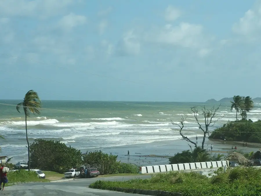
- Visit the sea wall during high tide to witness the characteristic 'clashing of waves' that gave the village its name.
- Park your vehicle near the BP building for better security, as it is a well-monitored area.
- Bring enough cash, as local fishermen and roadside vendors do not accept card payments.
🍽 Food
Try this traditional flatbread at Dove’s Dirt Oven, where it is still baked in a classic clay oven.
A hearty breadfruit stew found at small local eateries along the main road.
Fresh lobster and kingfish are often served on massive platters at restaurants near the jetty.
🛍 Shopping · 🧘 Quiet spots
Buy the catch of the day directly on the beach from fishermen as they return in their pirogues early in the morning.
Look for these handmade products at small roadside stalls along the Mayaro-Guayaguayare Road.
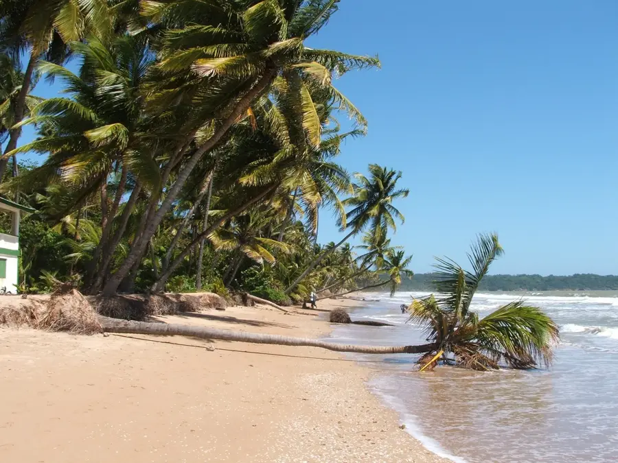
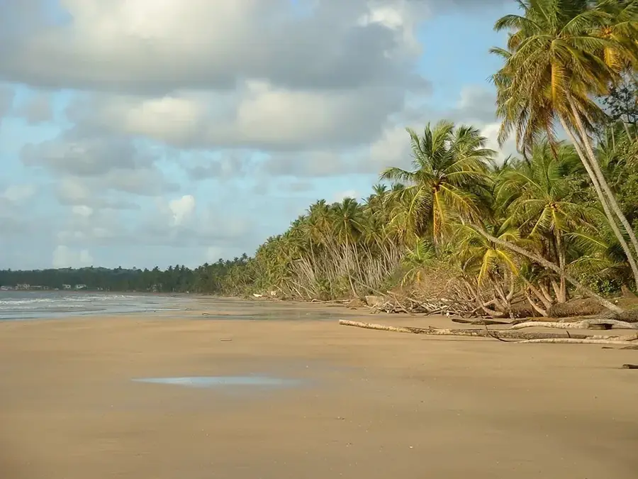
A secluded beach at the very end of the road, often empty and excellent for a private, quiet picnic.
The southeasternmost tip of the island, offering dramatic cliffside views and peaceful solitude.
Water temperature…
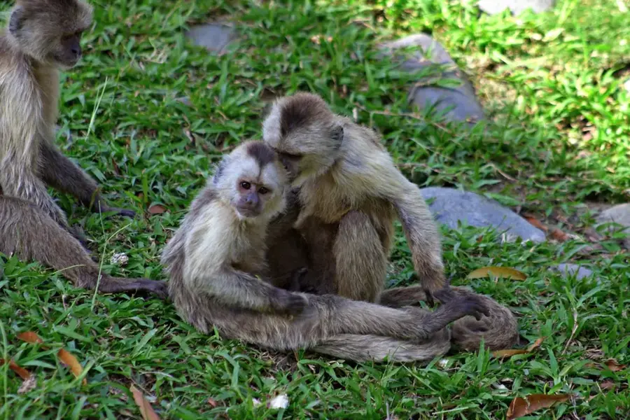
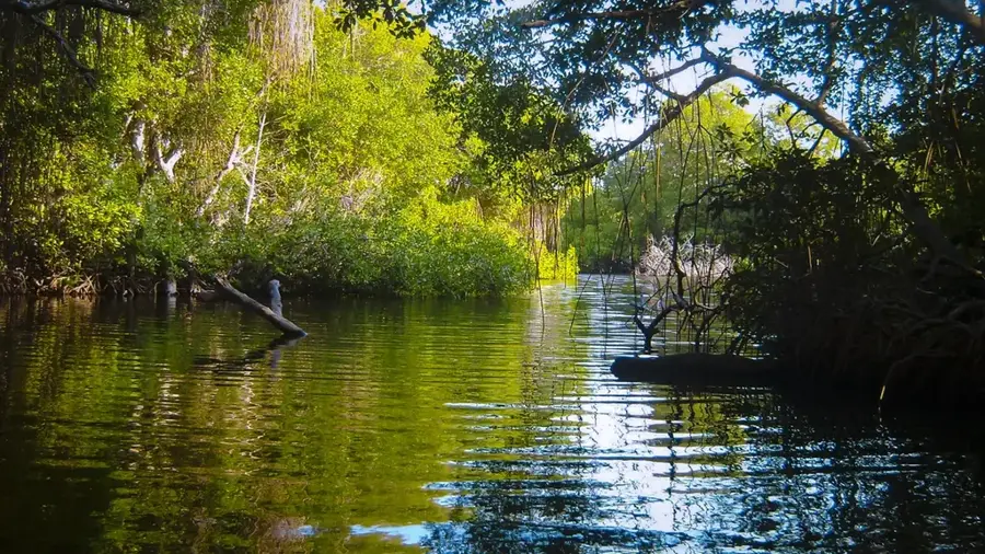
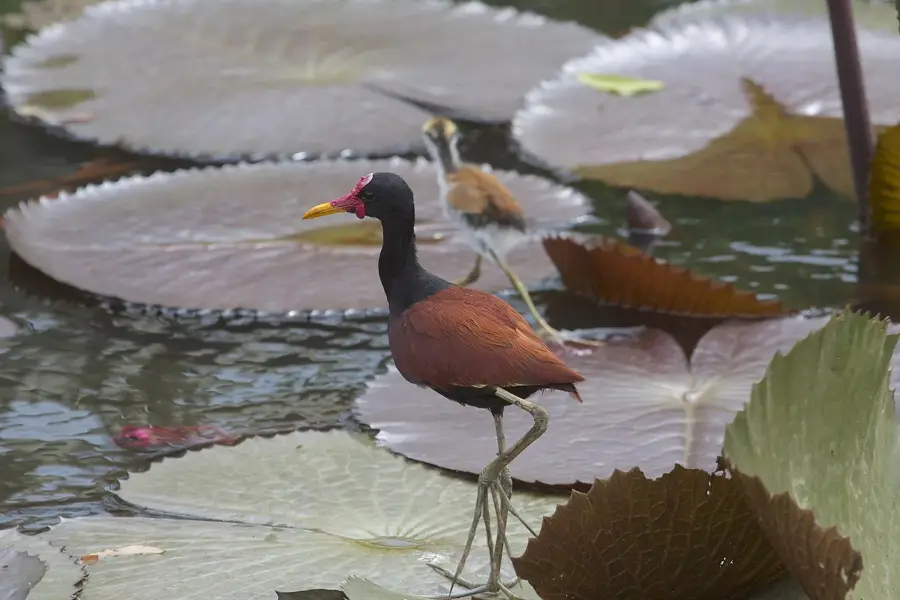
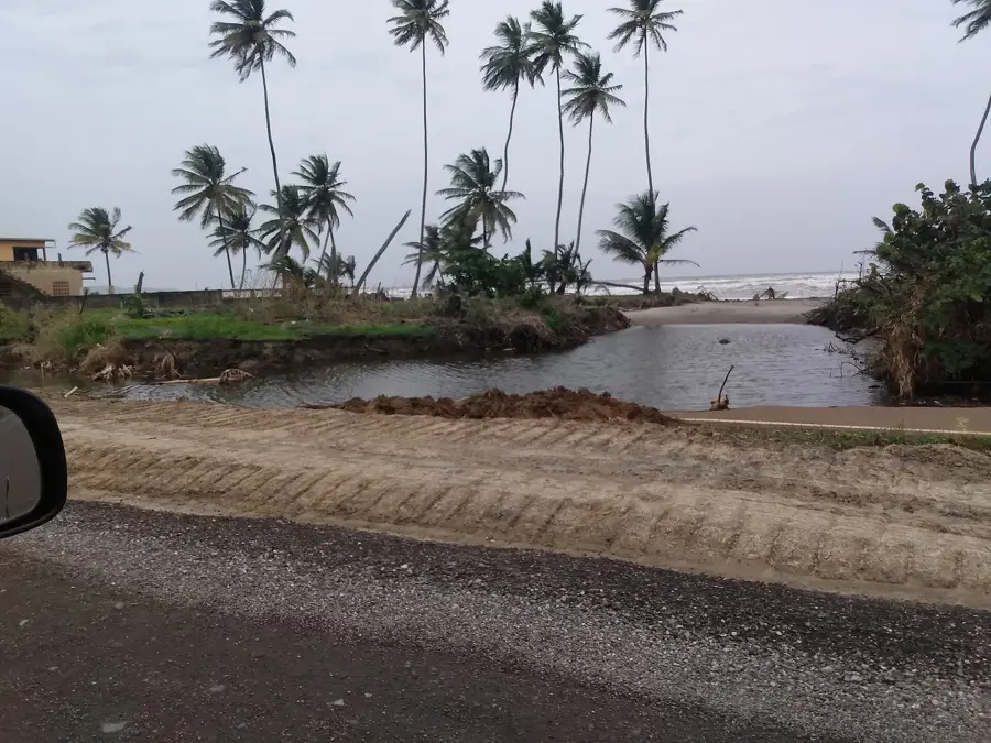
Guayaguayare is situated on the extreme southeastern tip of Trinidad within the Mayaro-Rio Claro region, holding fame as the first location sighted by Christopher Columbus during his third voyage in 1498. Historically dominated by the coconut industry, the area underwent a massive economic shift following the discovery of oil in the early 20th century. Today, it functions as a critical logistical hub for the nation energy sector, acting as the primary landfall point for numerous offshore natural gas and crude oil pipelines. The Guayaguayare Bay provides a vital natural harbor for industrial vessels and local fishing fleets, supporting the livelihoods of the coastal residents. The surrounding geography features a blend of rugged Atlantic coastline and lush tropical forests that harbor diverse local flora. Despite the heavy industrial presence of refineries and storage tanks, the village maintains a traditional atmosphere with deep cultural roots tied to the Caribbean Sea. The community remains focused on preserving its maritime heritage while contributing significantly to the national economy.
- Location: Trinidad and Tobago
- Nearby: Mayaro (8 km)
Best time to visit & climate
The most pleasant time to visit is Feb–Apr.
| Jan | Feb | Mar | Apr | May | Jun | Jul | Aug | Sep | Oct | Nov | Dec | |
|---|---|---|---|---|---|---|---|---|---|---|---|---|
| Avg °C | 26 | 26 | 27 | 28 | 28 | 27 | 27 | 28 | 28 | 28 | 27 | 27 |
| Rain mm | 97 | 56 | 48 | 55 | 125 | 237 | 220 | 220 | 154 | 186 | 209 | 174 |
Geography
Facts
- First sighted by Christopher Columbus on July 31, 1498.
- Site of the first commercial oil well drilled in Trinidad in 1902.
- Major landfall point for offshore natural gas and oil pipelines.
- Located within the Mayaro-Rio Claro Regional Corporation.
- Economy is primarily driven by the petroleum and gas industries.
- Features a natural harbor used by both industrial and fishing boats.
Explore nearby
Notable places around
Route planner — Car & Motorhome
Where do you start? We build the route here, with stops and country notes along the way.
© OpenStreetMap contributors · OpenRouteService
Frequently asked questions
What characterizes Guayaguayare?
Best time to visit Guayaguayare?
How much time should be planned for a visit?
Are there good restaurants there?
Is the place suitable for families?
Guayaguayare: where is it located?
Guayaguayare: when is the best time to visit?
Guayaguayare: why is it worth visiting?
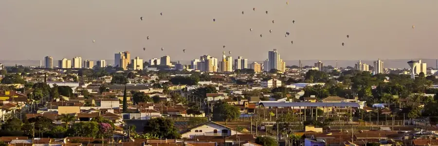
Nearby cities


Nature
More places