Plizio Visual Lab
Tabaquite Hills

Weather…
Water temperature…
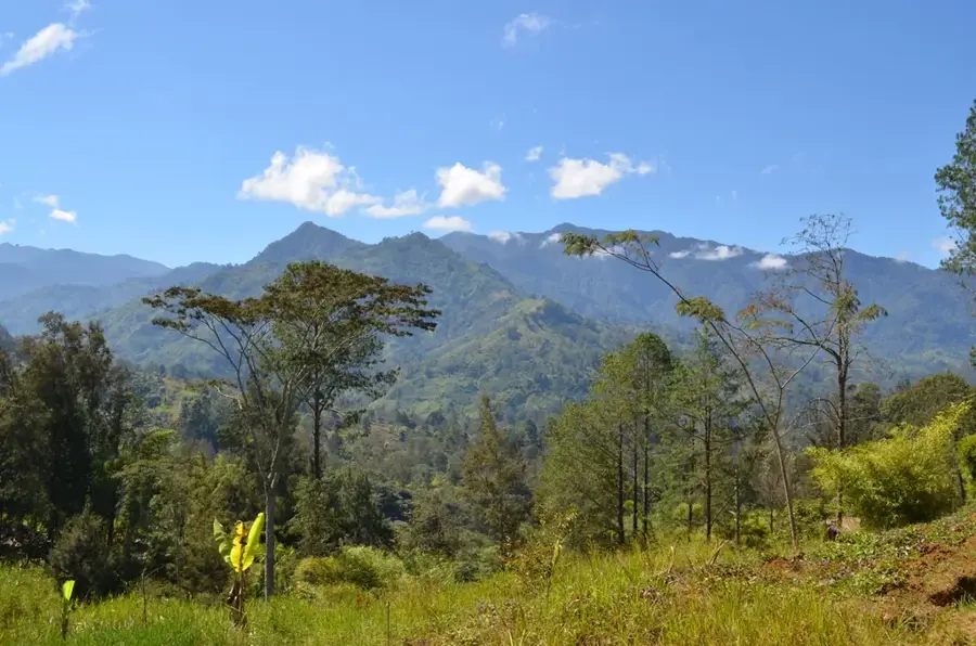
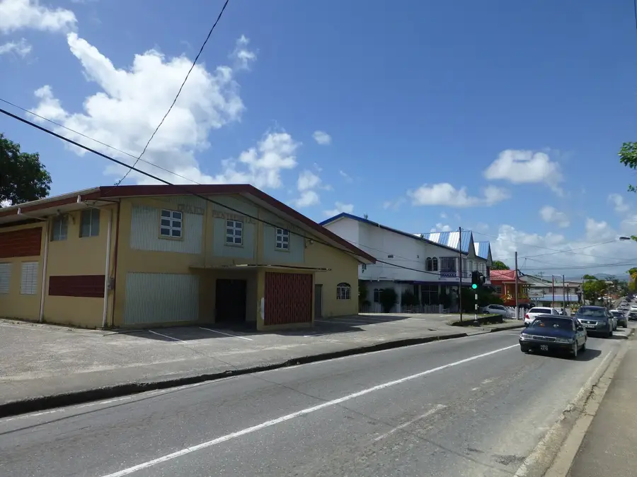
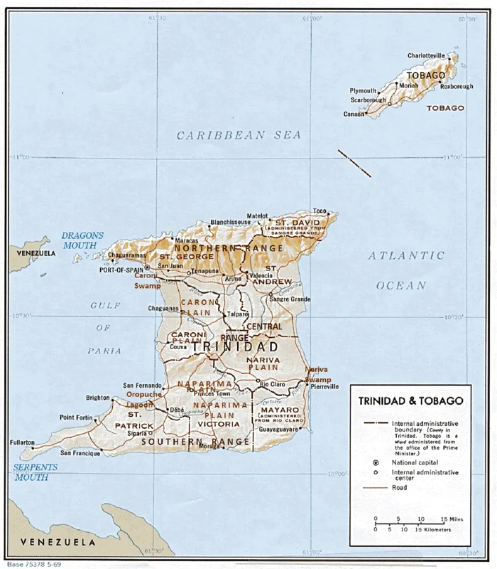
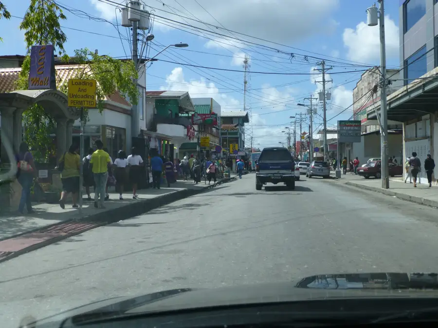
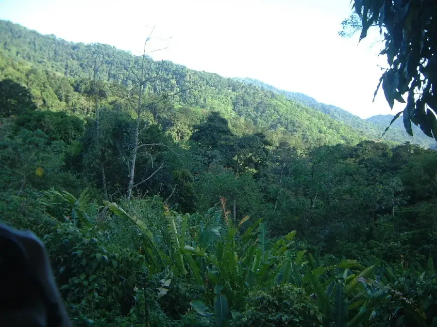
The Tabaquite Hills are situated in the Central Range of Trinidad, representing a region of significant geological and historical value. The hills are predominantly composed of tertiary sedimentary rocks and contain substantial oil reserves, the exploration of which began in the early 20th century. A prominent landmark in the region is Knolly's Tunnel, a railway tunnel completed in 1898 that once provided a critical link for the transportation of agricultural goods and crude oil. The topography is defined by steep slopes and deeply incised valleys, which house the Navet Reservoir, one of the most important water sources for central and southern Trinidad. The vegetation consists of dense secondary rainforest and cocoa estates that carpet the undulating terrain. Today, Tabaquite remains a vital agricultural hub and provides a rich habitat for various bird species and red howler monkeys.
- Location: Trinidad and Tobago
- Top sights: Navet Dam · Central Range (Trinidad and Tobago)
- Nearby: Brothers Road (4 km)
Best time to visit & climate
The most pleasant time to visit is Feb–Apr.
| Jan | Feb | Mar | Apr | May | Jun | Jul | Aug | Sep | Oct | Nov | Dec | |
|---|---|---|---|---|---|---|---|---|---|---|---|---|
| Avg °C | 26 | 26 | 27 | 28 | 28 | 27 | 27 | 27 | 27 | 27 | 27 | 26 |
| Rain mm | 100 | 61 | 52 | 56 | 117 | 222 | 202 | 202 | 141 | 176 | 213 | 178 |
📋 Practical info
Geography
Facts
- Site of the historic Knolly's Tunnel completed in 1897
- Home to the Navet Reservoir, a major water supply
- Early hub for land-based oil exploration in Trinidad
- Geology consists of Tertiary sedimentary structures
- Important sanctuary for red howler monkeys
- Located within the Central Range mountain system
Explore nearby
Notable places around
Route planner — Car & Motorhome
Where do you start? We build the route here, with stops and country notes along the way.
© OpenStreetMap contributors · OpenRouteService
Sights in the town Tabaquite Hills (2)
Sights nearby
Frequently asked questions
Are Tabaquite Hills suitable for bike tours?
Where can I park here?
What is the climate like in the hills?
Are there guided hikes?
Is the area stroller-friendly?
Tabaquite Hills: where is it located?
Tabaquite Hills: what is there to see?
Tabaquite Hills: when is the best time to visit?
Tabaquite Hills: why is it worth visiting?
More places