Plizio Visual Lab
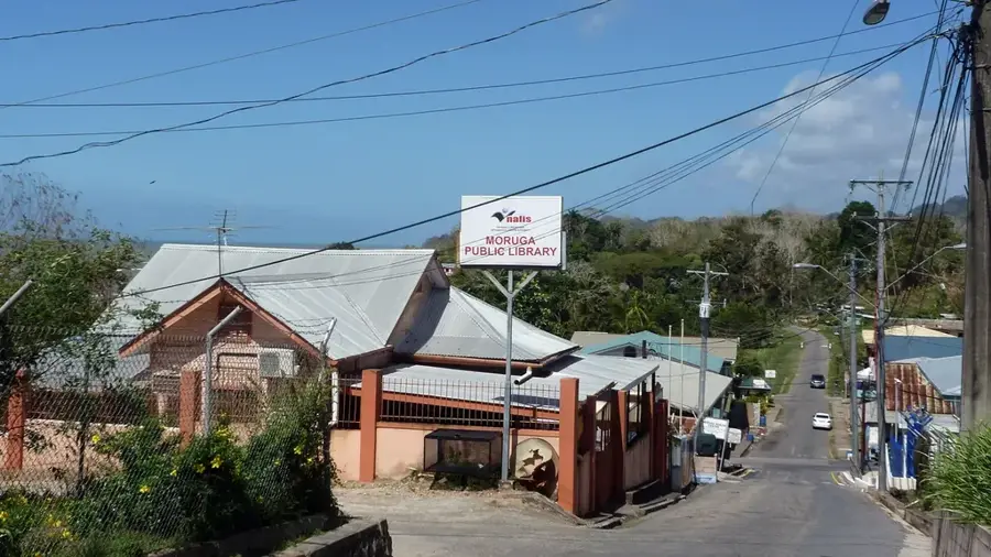
Rio Claro

ℹ️Practical info — Rio Claro
▾
🌤 Weather — 5 days
📍 Nearby
Sights nearby
💡 Tips
- Apply for a WASA permit at least 2 weeks in advance to visit the Navet Dam.
- Visit the local market on Saturday morning for the most authentic rural experience.
- Use a vehicle with high ground clearance (SUV) for the bumpy secondary roads.
- Ensure you wear closed-toed shoes for entry into the WASA compound; sandals are not allowed.
- Look out for roadside stalls along the Naparima-Mayaro Road for the freshest seasonal produce.
🍽 Food
Try local specialties like agouti or lappe in the small eateries in the town center.
Look for meals featuring fresh root vegetables sourced from nearby Navet Village.
Purchase these high-quality products directly from farmers at the Saturday market.
🛍 Shopping · 🧘 Quiet spots
The prime spot for fresh coffee, cocoa, and artisanal goods on Saturday mornings.
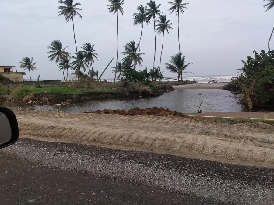
Find fresh citrus and melons at the various stands along the main road to Mayaro.
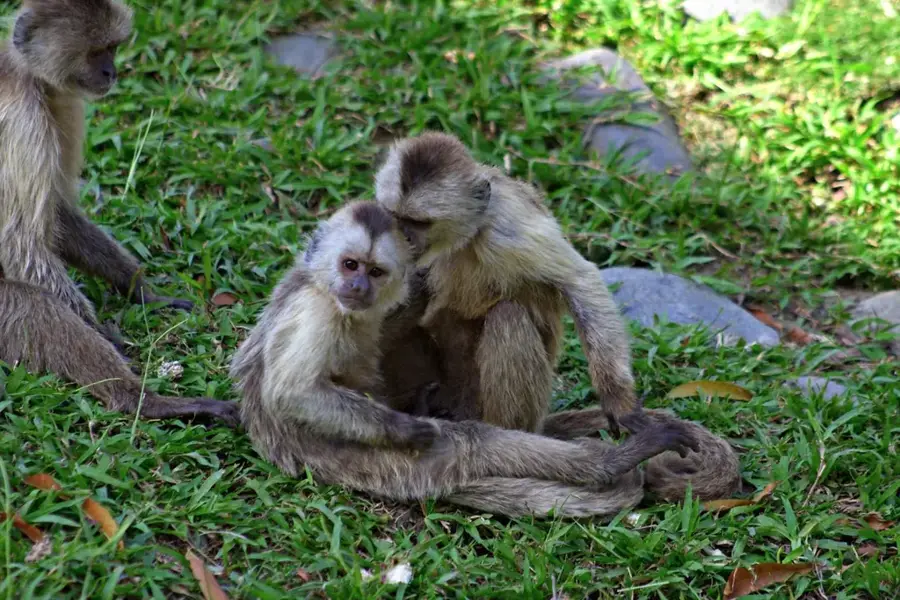
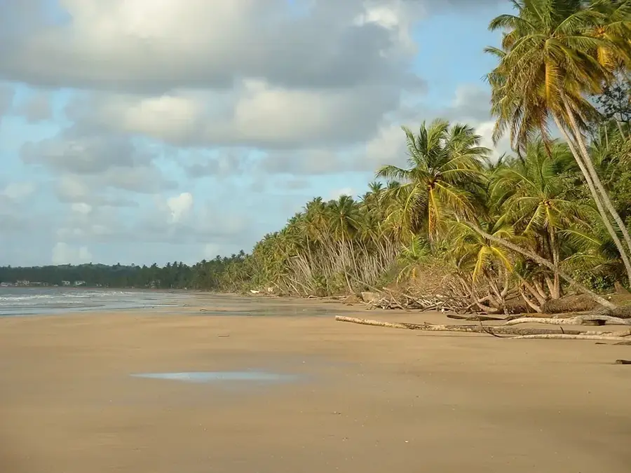
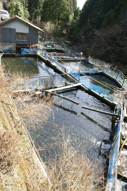
A peaceful reservoir area great for picnics and birdwatching (permit required).
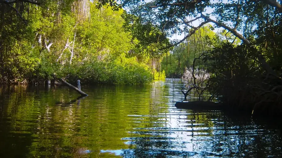
A nearby protected wetland offering a tranquil escape into nature's biodiversity.
Water temperature…
Rio Claro serves as the administrative capital of the Mayaro-Rio Claro Regional Corporation in southeastern Trinidad. The town emerged in the early 20th century as a vital railway terminus for transporting agricultural goods from the surrounding hinterland. Its name, meaning 'Clear River' in Spanish, was given by surveyors in 1777 to a local stream. Today, Rio Claro functions as the primary commercial and service center for rural communities engaged in cocoa, citrus, and timber production. The arrival of the railway in 1914 catalyzed the town's growth, making it a pivotal logistics hub until the rail system was decommissioned in the 1960s. Strategically positioned at a crossroads, it links the coastal areas of Mayaro to the inland towns. Rio Claro's cultural landscape is a diverse melting pot, showcased through its variety of religious institutions and bustling local markets.
- Location: Trinidad and Tobago
- Nearby: Biche (8 km)
- Population: ~35.650 (2026)
Best time to visit & climate
The most pleasant time to visit is Feb–Apr.
| Jan | Feb | Mar | Apr | May | Jun | Jul | Aug | Sep | Oct | Nov | Dec | |
|---|---|---|---|---|---|---|---|---|---|---|---|---|
| Avg °C | 26 | 26 | 27 | 28 | 28 | 27 | 27 | 27 | 27 | 27 | 27 | 26 |
| Rain mm | 100 | 61 | 52 | 56 | 117 | 222 | 202 | 202 | 141 | 176 | 213 | 178 |
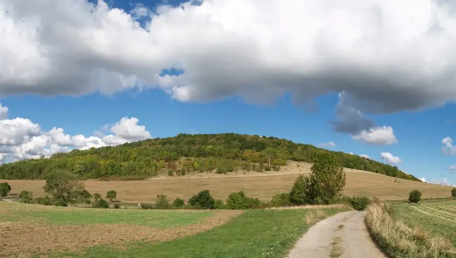
Geography
Facts
- The administrative seat of the Mayaro-Rio Claro Regional Corporation.
- The name 'Rio Claro' was officially recorded by surveyors in 1777.
- Served as a major railway terminus between 1914 and 1965.
- A key processing and trade center for timber and cocoa.
- Located at the junction of the Naparima Mayaro and Tabaquite Roads.
- Features one of the most significant regional farmers' markets.
Explore nearby
Notable places around
Route planner — Car & Motorhome
Where do you start? We build the route here, with stops and country notes along the way.
© OpenStreetMap contributors · OpenRouteService
Sights in the town Rio Claro (1)
Frequently asked questions
What can you experience in Rio Claro?
How many days are enough?
Is the journey straightforward?
Are there local markets there?
Is Rio Claro suitable for hikers?
Rio Claro: where is it located?
Rio Claro: when is the best time to visit?
Rio Claro: why is it worth visiting?
Nearby cities


Nature

More places