Plizio Visual Lab
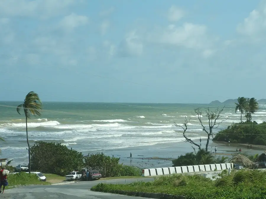
Mayaro Coast Lowlands
Weather…
Water temperature…
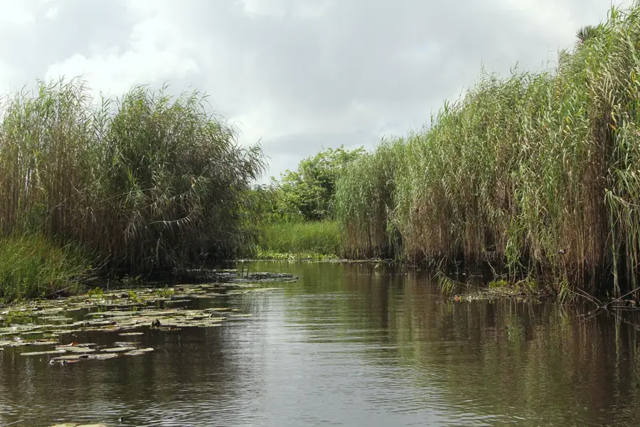
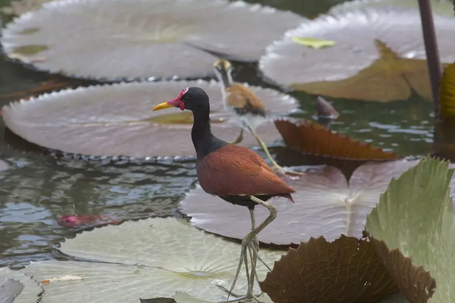
The Mayaro Coast Lowlands in southeastern Trinidad comprise an extensive coastal plain characterized by quaternary alluvial deposits and significant wetlands. Geomorphologically, the region consists of flat sedimentary basins shaped by the historical activity of major rivers like the Ortoire River. Since the 19th century, the area has been renowned for its vast coconut estates, which continue to define the local landscape. In recent decades, Mayaro has also emerged as a pivotal hub for the offshore oil and gas industry, with nearby Galeota Point serving as a major logistical terminal. The coastline features long, sandy beaches that are currently subject to intense coastal erosion due to rising sea levels and regional tectonic subsidence. Ecologically, the lowlands host vital mangrove systems and freshwater swamps that support diverse wildlife and provide essential natural flood mitigation for the surrounding communities.
- Location: Trinidad and Tobago
- Nearby: Mayaro (4 km)
Best time to visit & climate
The most pleasant time to visit is Feb–Apr.
| Jan | Feb | Mar | Apr | May | Jun | Jul | Aug | Sep | Oct | Nov | Dec | |
|---|---|---|---|---|---|---|---|---|---|---|---|---|
| Avg °C | 26 | 26 | 27 | 28 | 28 | 27 | 27 | 28 | 28 | 28 | 27 | 27 |
| Rain mm | 97 | 56 | 48 | 55 | 125 | 237 | 220 | 220 | 154 | 186 | 209 | 174 |
📋 Practical info
Geography
Facts
- Large coastal plain in southeastern Trinidad
- Major drainage basin for the Ortoire River
- Historically famous for expansive coconut estates
- Central hub for the oil and gas industry at Galeota
- Geology composed of Quaternary alluvial soils
- Subject to high rates of coastal shoreline erosion
Explore nearby
Notable places around
Route planner — Car & Motorhome
Where do you start? We build the route here, with stops and country notes along the way.
© OpenStreetMap contributors · OpenRouteService
Sights nearby
Frequently asked questions
Is it good for swimming at Mayaro Coast Lowlands?
Is there shade available?
Is the area suitable for families?
Are there parking fees?
What local specialty should I try?
Mayaro Coast Lowlands: where is it located?
Mayaro Coast Lowlands: when is the best time to visit?
Mayaro Coast Lowlands: why is it worth visiting?
More places