Plizio Visual Lab
Guayaguayare Lowlands

Weather…
Water temperature…
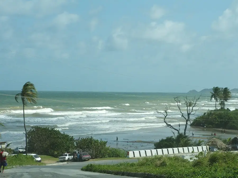
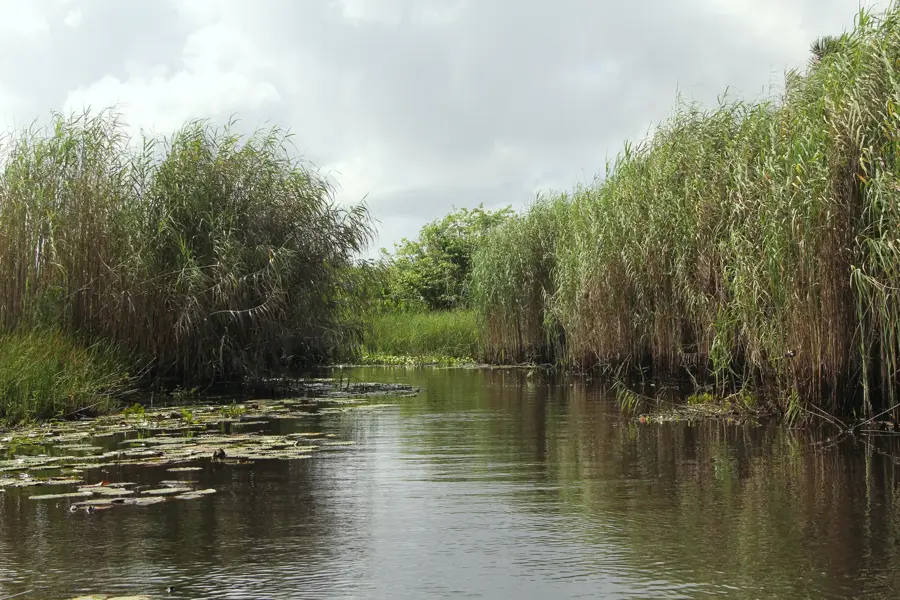
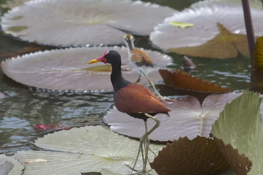
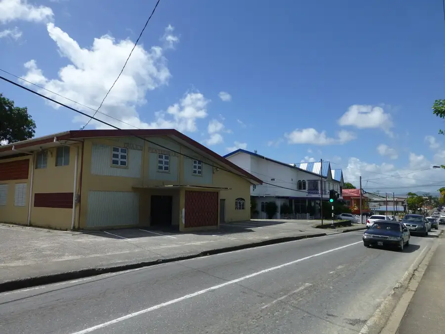
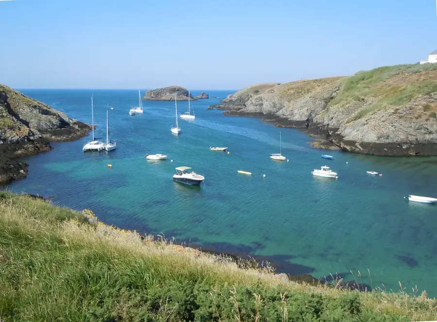
The Guayaguayare Lowlands are located in the far southeastern corner of Trinidad and are inextricably linked to the nation's industrial heritage. Geographically, the region is bounded by the rolling hills of the Southern Range to the north and Guayaguayare Bay to the south. The landscape is primarily composed of Tertiary sedimentary strata rich in hydrocarbons, making this region the birthplace of Trinidad's oil industry. In 1902, Randolph Rust drilled the first commercially successful oil well here, sparking a global race for the island's natural resources. Historically, the area was a remote district dominated by coconut estates and small fishing villages before the oil boom triggered a total socio-economic transformation. Today, an extensive energy infrastructure dominates the scene, including processing plants and port facilities serving offshore operations. Despite its industrial character, the coastline with its mangroves and wetlands maintains crucial ecological roles in buffering coastal erosion. The lowlands remain an economic pillar for Trinidad and Tobago, though modern environmental remediation efforts are increasingly emphasized.
- Location: Trinidad and Tobago
- Nearby: Mayaro (9 km)
Best time to visit & climate
The most pleasant time to visit is Feb–Apr.
| Jan | Feb | Mar | Apr | May | Jun | Jul | Aug | Sep | Oct | Nov | Dec | |
|---|---|---|---|---|---|---|---|---|---|---|---|---|
| Avg °C | 26 | 26 | 27 | 28 | 28 | 27 | 27 | 28 | 28 | 28 | 27 | 27 |
| Rain mm | 97 | 56 | 48 | 55 | 125 | 237 | 220 | 220 | 154 | 186 | 209 | 174 |
📋 Practical info
Geography
Facts
- Randolph Rust drilled Trinidad's first successful oil well here in 1902.
- Guayaguayare is the largest bay on the southern coast of Trinidad.
- The region is home to significant onshore and offshore energy assets.
- The geology is dominated by Tertiary sandstones and shales.
- The name Guayaguayare is believed to be of Amerindian origin.
- Annual rainfall in this area is among the highest in southern Trinidad.
Explore nearby
Notable places around
Route planner — Car & Motorhome
Where do you start? We build the route here, with stops and country notes along the way.
© OpenStreetMap contributors · OpenRouteService
Sights nearby
Frequently asked questions
What is there to see in Guayaguayare Lowlands?
Is the region easily accessible by public transport?
What is the best season for a beach day?
Are the beaches safe for children?
Is there accommodation there?
Guayaguayare Lowlands: where is it located?
Guayaguayare Lowlands: when is the best time to visit?
Guayaguayare Lowlands: why is it worth visiting?
More places