Plizio Visual Lab
Gran Couva Highlands

Weather…
Water temperature…
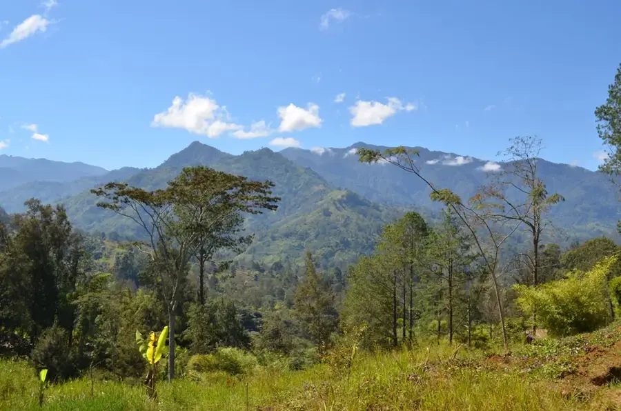
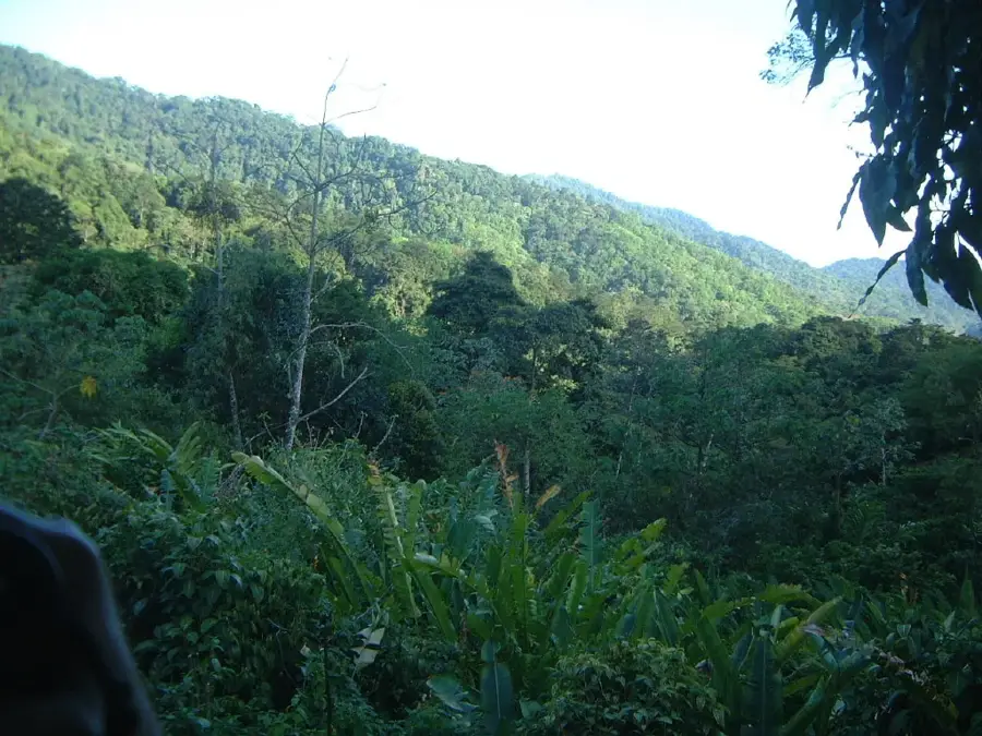
The Gran Couva Highlands are situated within the Central Range of Trinidad, characterized by rolling hills and exceptionally fertile soils. Historically, this region served as the hub for the prestigious Trinitario cocoa production, which reached its economic peak during the late 19th and early 20th centuries. The geological composition primarily consists of tertiary sedimentary rocks, including sandstones and siltstones, which have been weathered into a rugged yet productive landscape. Elevations in the highlands typically range between 150 and 250 meters above sea level, providing a slightly cooler microclimate than the coastal plains. Today, the area remains an important agricultural zone, although much of the original forest cover has been replaced by estate crops and secondary growth. The region's drainage system feeds into several minor river basins, playing a vital role in the local hydrology of central Trinidad by supplying water to the lower valleys.
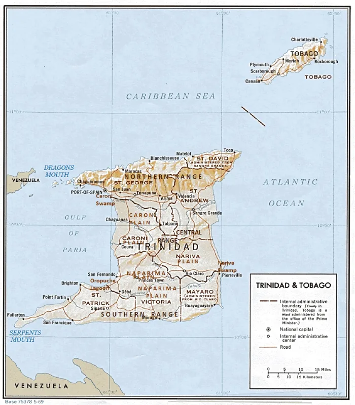
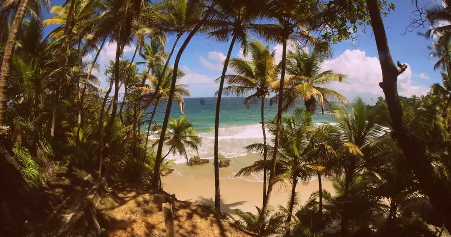
- Location: Trinidad and Tobago
- Nearby: Tortuga (6 km)
Best time to visit & climate
The most pleasant time to visit is Feb–Apr.
| Jan | Feb | Mar | Apr | May | Jun | Jul | Aug | Sep | Oct | Nov | Dec | |
|---|---|---|---|---|---|---|---|---|---|---|---|---|
| Avg °C | 26 | 26 | 27 | 28 | 28 | 27 | 27 | 27 | 27 | 27 | 27 | 26 |
| Rain mm | 100 | 61 | 52 | 56 | 117 | 222 | 202 | 202 | 141 | 176 | 213 | 178 |
📋 Practical info
Geography
Facts
- Part of the Central Range mountain system
- Historical center for Trinitario cocoa since the 1800s
- Geology consists of tertiary sedimentary formations
- Elevations range between 150 and 250 meters
- Cooler microclimate suitable for high-grade agriculture
- Critical drainage area for central Trinidad hydrology
Explore nearby
Notable places around
Route planner — Car & Motorhome
Where do you start? We build the route here, with stops and country notes along the way.
© OpenStreetMap contributors · OpenRouteService
Sights in the town Gran Couva Highlands (1)
Sights nearby
Frequently asked questions
What is typical for Gran Couva?
Can you visit the plantations?
What is the best souvenir?
When should you book?
Is the area suitable for hikers?
Gran Couva Highlands: where is it located?
Gran Couva Highlands: when is the best time to visit?
Gran Couva Highlands: why is it worth visiting?
More places