Plizio Visual Lab
Ometepe Island
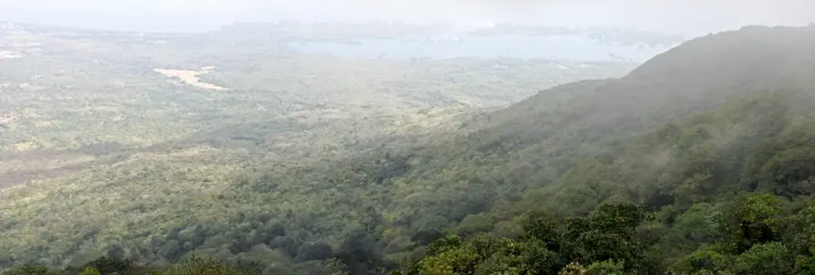
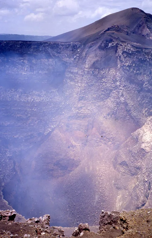
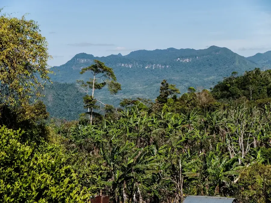
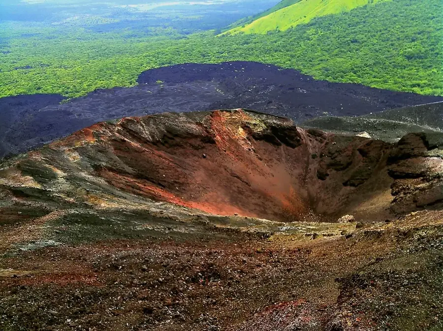
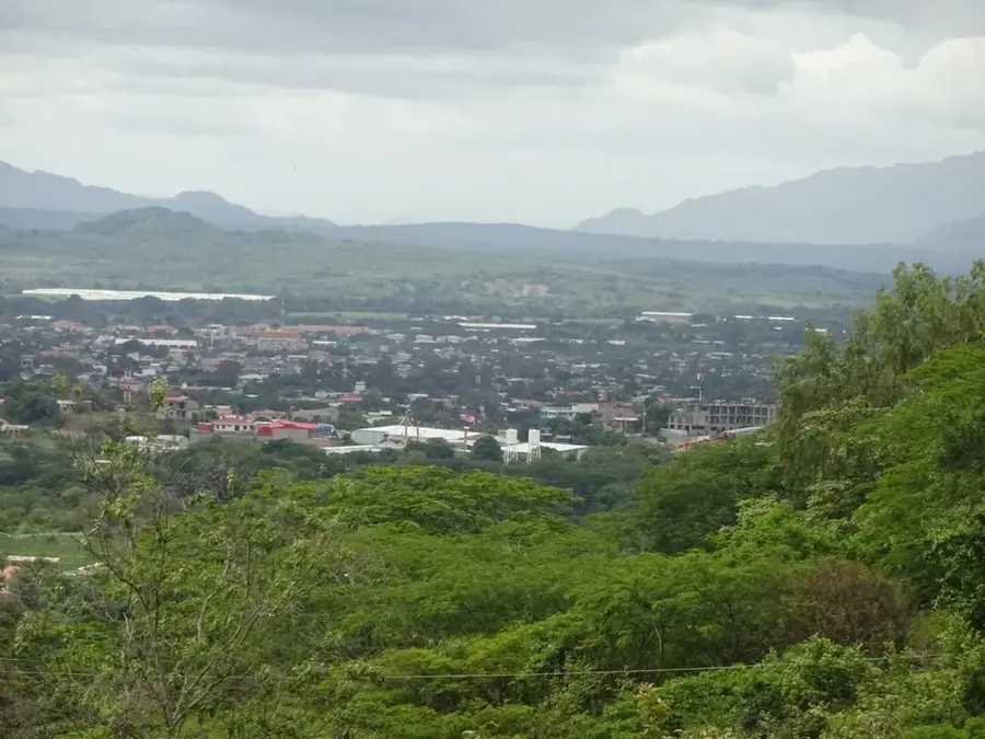
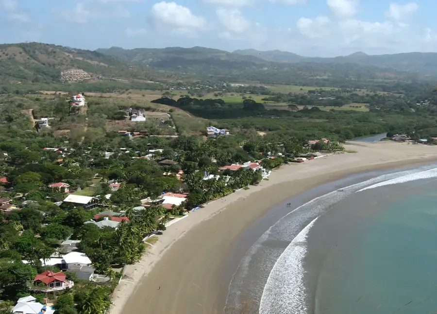
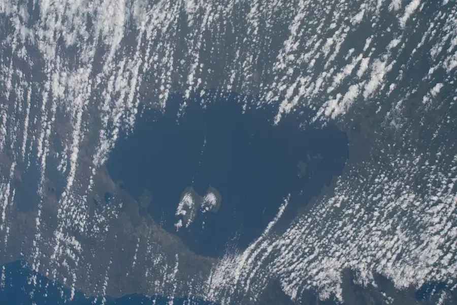
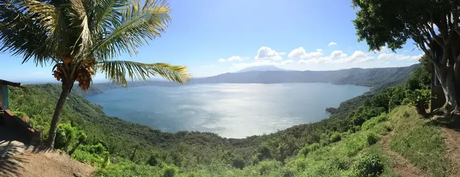
Ometepe Island is a world-renowned destination located in the center of Lake Nicaragua, famous for consisting of two massive volcanoes, Concepción and Maderas, joined by a narrow isthmus. Its name is derived from the Nahuatl words 'ome' (two) and 'tepetl' (mountain), perfectly describing the island's unique topography. Covering 276 square kilometers, it is the largest volcanic island in a freshwater lake in the world. The active Concepción volcano rises to 1,610 meters, while the dormant Maderas volcano reaches 1,394 meters and features a pristine crater lagoon and cloud forest. Ometepe has been a sacred site for indigenous groups for thousands of years, as evidenced by the hundreds of pre-Columbian petroglyphs and stone statues scattered across its landscape. In 2010, the island was officially designated as a UNESCO Biosphere Reserve, highlighting its commitment to preserving its rich biodiversity and traditional agrarian culture. Visitors are drawn to its serene atmosphere, natural springs like Ojo de Agua, and the abundant wildlife that thrives in its protected forests.
- Location: Nicaragua
- Top sights: Ometepe · Santa Cruz, Rivas
- Nearby: Tecolostote (9 km)
Best time to visit & climate
The most pleasant time to visit is Jan, Feb, Dec.
| Jan | Feb | Mar | Apr | May | Jun | Jul | Aug | Sep | Oct | Nov | Dec | |
|---|---|---|---|---|---|---|---|---|---|---|---|---|
| Avg °C | 27 | 28 | 28 | 29 | 29 | 28 | 28 | 28 | 28 | 27 | 27 | 27 |
| Rain mm | 2 | 2 | 3 | 23 | 187 | 182 | 119 | 178 | 276 | 316 | 133 | 9 |
📋 Practical info
Geography
Facts
- Ometepe is the largest volcanic island in a freshwater lake at 276 km².
- The Concepción volcano is an active stratovolcano rising to 1,610 meters.
- UNESCO designated the entire island as a Biosphere Reserve in 2010.
- The island features over 1,700 ancient petroglyphs carved by early inhabitants.
- Mount Maderas is a dormant volcano containing a cold-water crater lake.
- The island’s primary economic activity is the production of plantains.
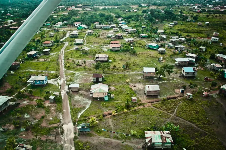
Explore nearby
Notable places around
Route planner — Car & Motorhome
Where do you start? We build the route here, with stops and country notes along the way.
© OpenStreetMap contributors · OpenRouteService
Sights in the town Ometepe Island (2)
Sights nearby
Frequently asked questions
How long should you stay on Ometepe?
Can the island be navigated by rental car?
What is the typical dish of the island?
When is the best time to visit Ometepe?
Are there many mosquitoes on the island?
Ometepe Island: where is it located?
Ometepe Island: what is there to see?
Ometepe Island: when is the best time to visit?
Ometepe Island: why is it worth visiting?

Nearby cities
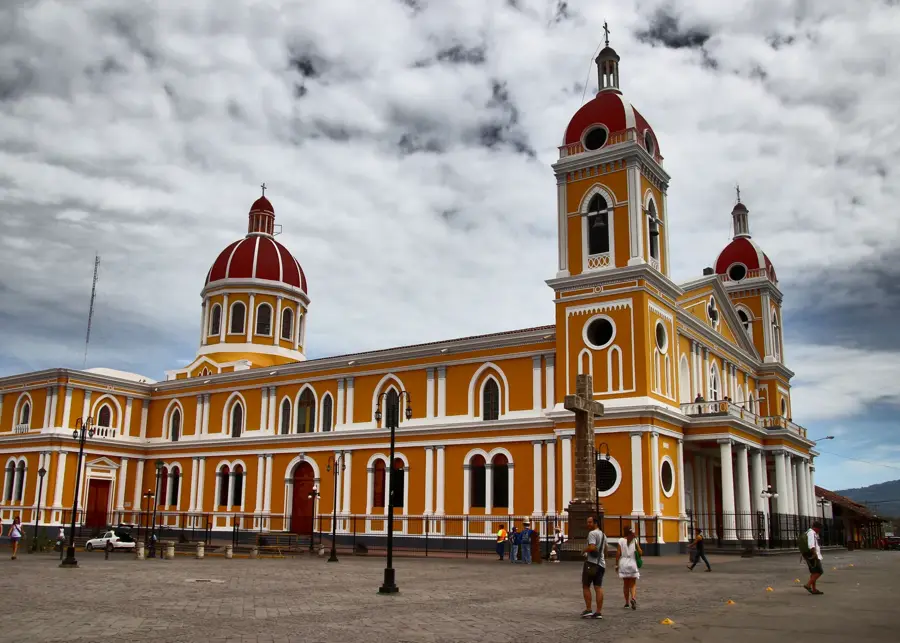
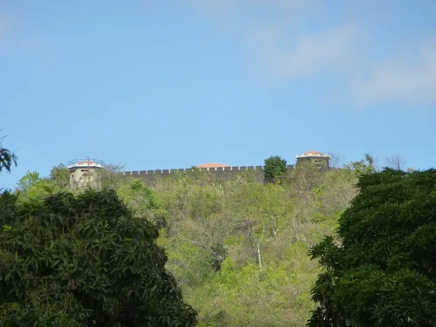
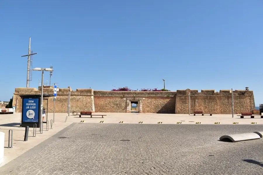
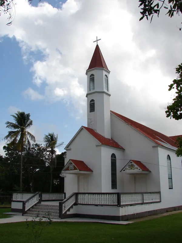
History & landmarks
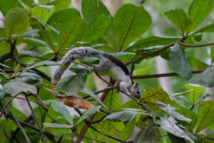
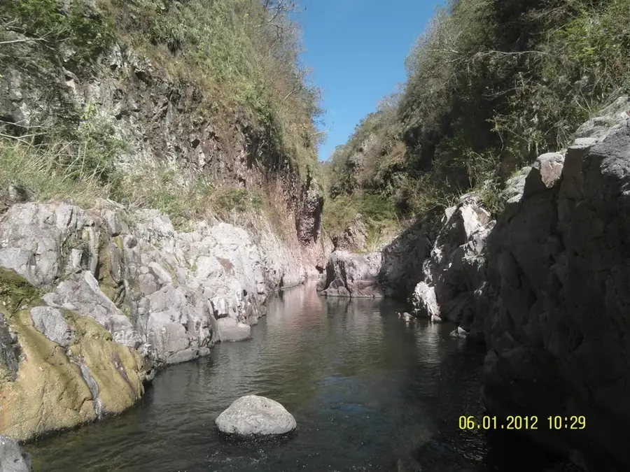
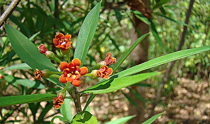
Nature
More places