Plizio Visual Lab
Ciudad Sandino
ℹ️Practical info — Ciudad Sandino
▾
🌤 Weather — 5 days
📍 Nearby
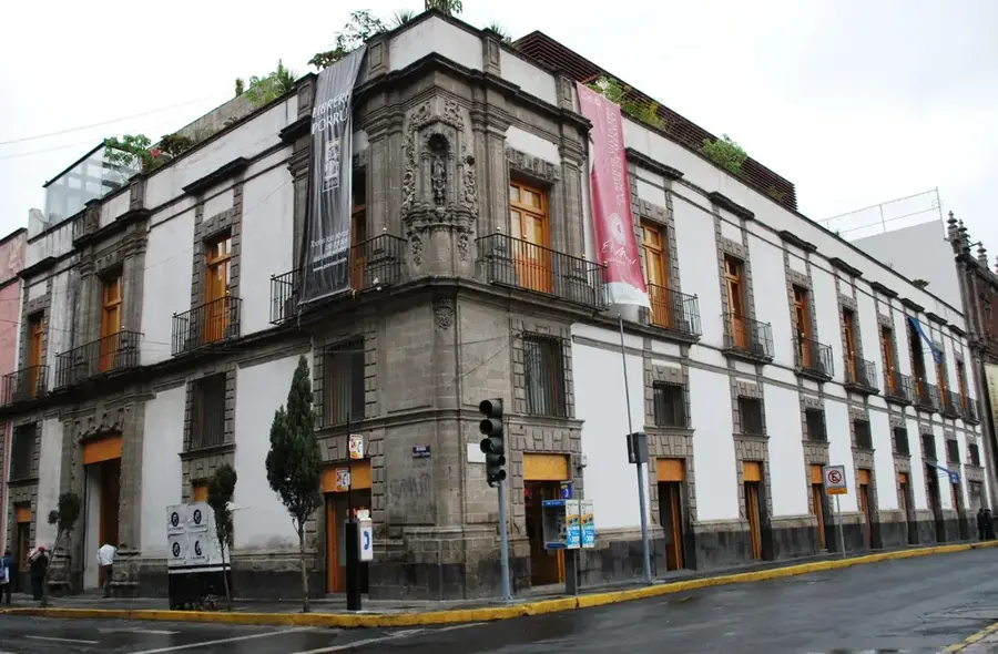
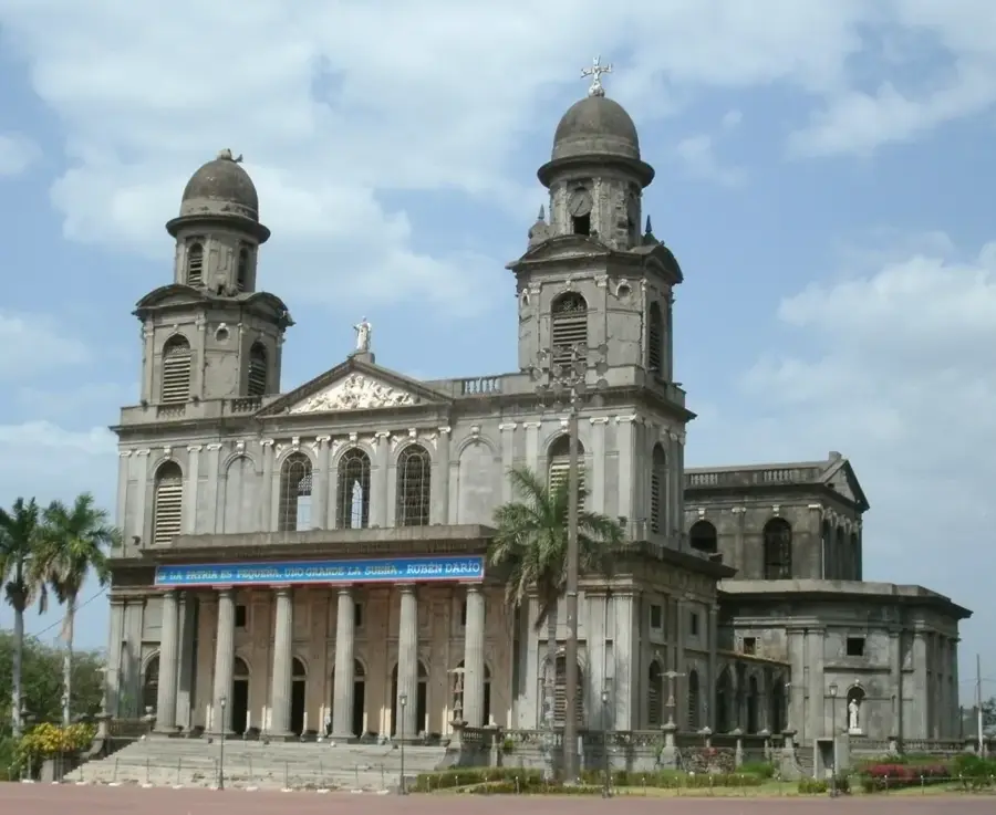
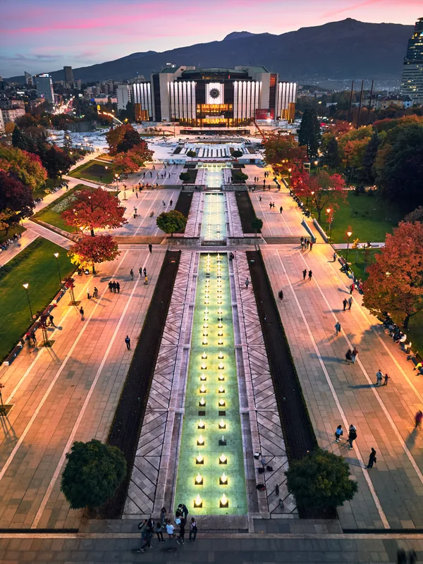
Sights nearby
💡 Tips
- Use the ubiquitous mototaxis (caponeras) for short trips within the city.
- Managua is very close; local buses are frequent but can be crowded.
- The climate is very hot and humid, so carry bottled water everywhere.
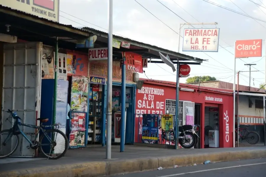
- For a more authentic experience, explore the bustling local markets rather than modern supermarkets.
🍽 Food
Sunday tradition, corn dough with meat wrapped in banana leaves
Classic rice and beans, typically for breakfast
Cheese and onions in a tortilla, found at street stalls
🛍 Shopping · 🧘 Quiet spots
Local produce, clothes, everyday items
Local bakeries for sweet bread and local pastries
The main square, quieter in the evening
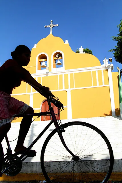
Around the church area
Water temperature…
Ciudad Sandino is an independent municipality within the Managua department, originally established as an emergency shelter for victims of natural disasters in the late 1960s. The settlement, initially known as 'OPEN 3,' grew rapidly following devastating floods and the 1972 earthquake, and was renamed in 1982 to honor national hero Augusto C. Sandino. Due to its direct proximity to the capital, it functions largely as a bedroom community, yet it has developed its own economic identity over recent decades. A significant factor is the presence of free trade zones (maquilas), which provide jobs for thousands of residents in the textile industry. The city is characterized by high population density and a young demographic. Ciudad Sandino has evolved from a provisional settlement into a dynamic urban center that plays a vital role in the Managua metropolitan area. Despite various urban challenges, the community maintains strong social cohesion and animated local activity.
- Location: Nicaragua
- Top sights: Los Martínez · Sitio Oro Verde. Zona 7 · Monumento a los Mártires
- Nearby: El Jicaral (6 km)
- Population: ~50.000 (2026)
Best time to visit & climate
The most pleasant time to visit is Jan, Feb, Dec.
| Jan | Feb | Mar | Apr | May | Jun | Jul | Aug | Sep | Oct | Nov | Dec | |
|---|---|---|---|---|---|---|---|---|---|---|---|---|
| Avg °C | 27 | 28 | 29 | 30 | 29 | 27 | 27 | 28 | 27 | 26 | 26 | 26 |
| Rain mm | 1 | 2 | 5 | 27 | 202 | 207 | 115 | 172 | 289 | 313 | 113 | 8 |
Geography
Facts
- The settlement was founded in 1969 under the name 'OPEN 3' after severe flooding.
- The city was officially renamed Ciudad Sandino in 1982.
- Ciudad Sandino achieved independent municipality status in the year 2000.
- The city's population exceeds 120,000 residents.
- Several free trade zones (maquilas) form the core industrial base of the city.
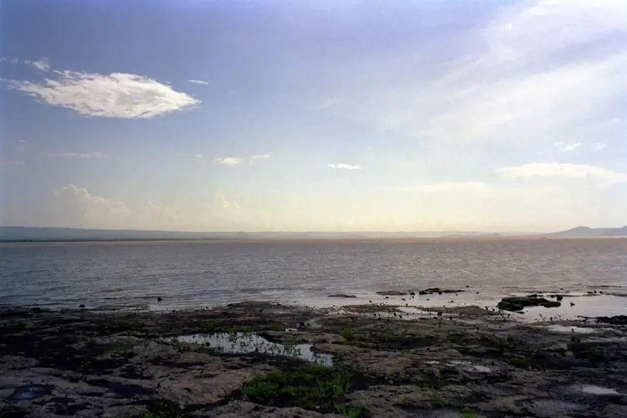
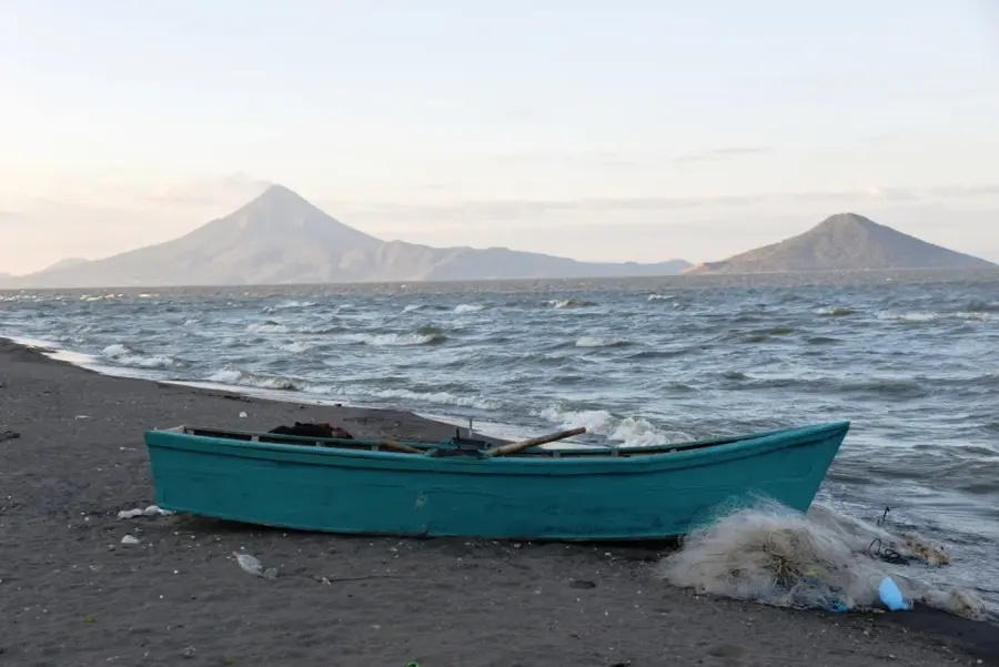
- It is located on the western outskirts of Managua, near the shores of Lake Managua.
Explore nearby
Notable places around
Route planner — Car & Motorhome
Where do you start? We build the route here, with stops and country notes along the way.
© OpenStreetMap contributors · OpenRouteService
Sights in the town Ciudad Sandino (7)
Frequently asked questions
What is the main character of Ciudad Sandino?
Is Ciudad Sandino worth a tourist visit?
What is the best way to reach Ciudad Sandino?
When is the best time for a short visit?
What is there to see nearby?
Ciudad Sandino: where is it located?
Ciudad Sandino: what is there to see?
Ciudad Sandino: when is the best time to visit?
Ciudad Sandino: why is it worth visiting?

Nearby cities
Nature
More places