Plizio Visual Lab
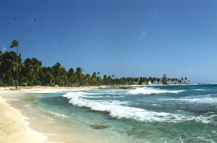
Puerto Potosí
Weather…
Water temperature…
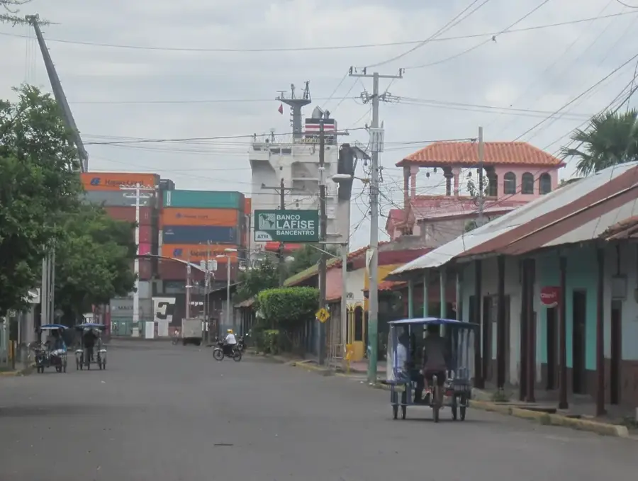
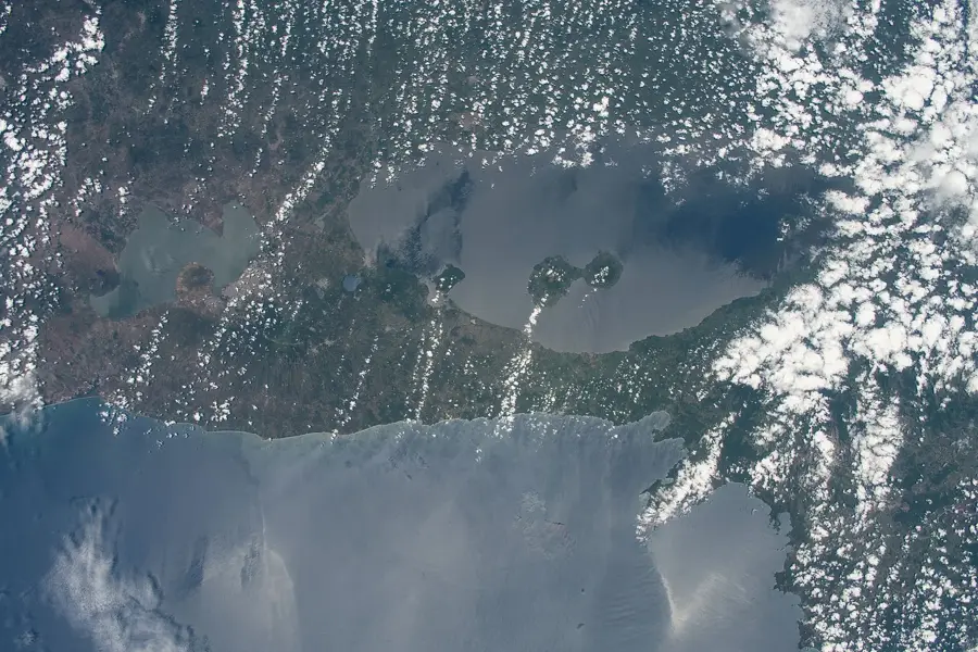
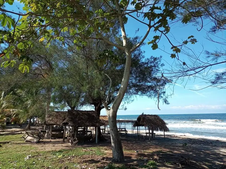
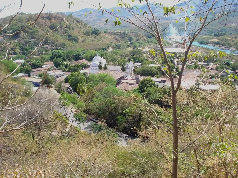
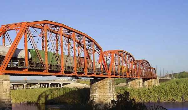
Puerto Potosí is located in the department of Chinandega on the shores of the Gulf of Fonseca, serving as a strategic point for Central American regional integration. Given its geographic position, the port forms a natural bridge between Nicaragua, Honduras, and El Salvador, the three nations that share the gulf's waters. Historically, the region remained somewhat isolated, but recent government investments in infrastructure have aimed to facilitate the movement of goods and people. One of the most significant developments is the implementation of a ferry service to La Unión in El Salvador, which substantially reduces travel time for cargo trucks by bypassing the overland route through Honduras. Beyond transit, the port is a hub for artisanal fishing and the export of agricultural products from northern Nicaragua. The development of Puerto Potosí is part of a trilateral agreement focused on the peaceful and economic exploitation of the Gulf of Fonseca. The modern border post and improved access roads have significantly boosted the economic potential of the entire zone.
- Location: Nicaragua
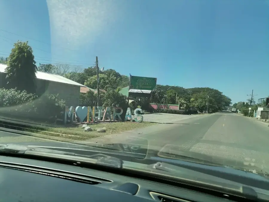
- Nearby: Jiquilillo (6 km)
Best time to visit & climate
The most pleasant time to visit is Jan, Feb, Dec.
| Jan | Feb | Mar | Apr | May | Jun | Jul | Aug | Sep | Oct | Nov | Dec | |
|---|---|---|---|---|---|---|---|---|---|---|---|---|
| Avg °C | 28 | 29 | 30 | 30 | 29 | 29 | 29 | 29 | 28 | 28 | 28 | 28 |
| Rain mm | 1 | 2 | 8 | 36 | 220 | 230 | 120 | 182 | 287 | 271 | 48 | 10 |
📋 Practical info
Geography
Facts
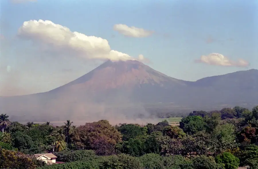
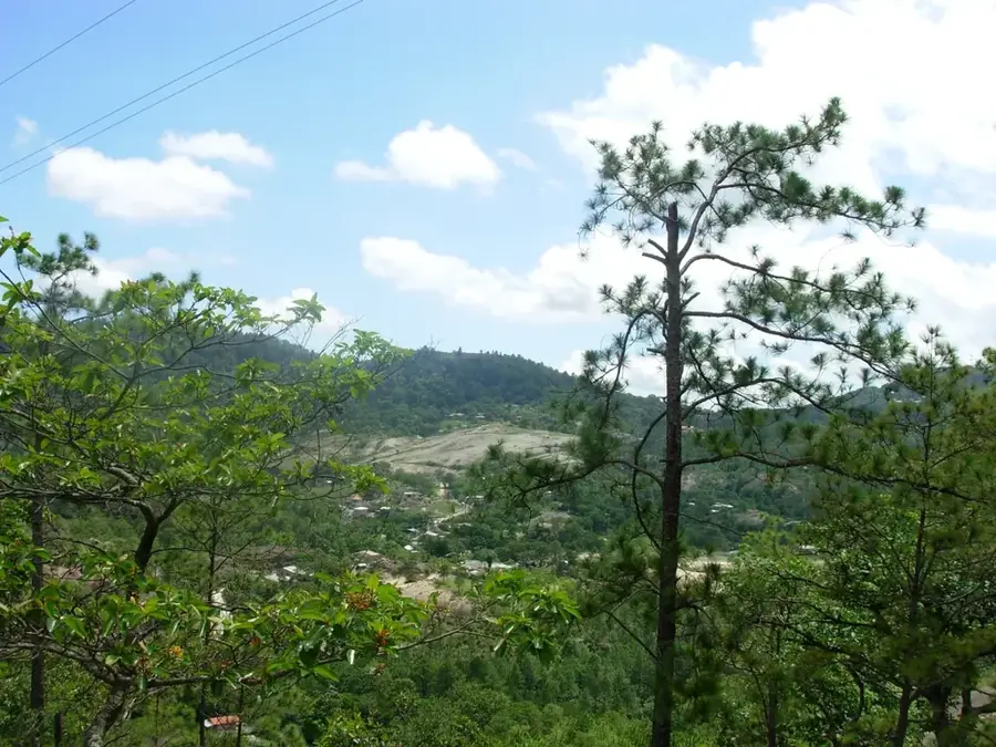
- Located at the foot of the Cosigüina Volcano in northwest Nicaragua.
- Key component of the trilateral development plan for the Gulf of Fonseca.
- The ferry link to El Salvador bypasses over 100 km of overland transit.
- Major trading post for artisanal shrimp and seafood production.
- Features a modernized border facility and customs operations center.
- Strategic site for monitoring maritime security and environmental health.
Explore nearby
Notable places around
Route planner — Car & Motorhome
Where do you start? We build the route here, with stops and country notes along the way.
© OpenStreetMap contributors · OpenRouteService
Sights nearby
Frequently asked questions
What is Puerto Potosí?
Where is it located?
Is it open to tourists?
What is traded here?
Is a visit worthwhile?
Puerto Potosí: where is it located?
Puerto Potosí: when is the best time to visit?
Puerto Potosí: why is it worth visiting?

Nearby cities

History & landmarks
Nature
More places